
Click a thumbnail to see a full-size photo.
Or, View as Slide Show.
|
|
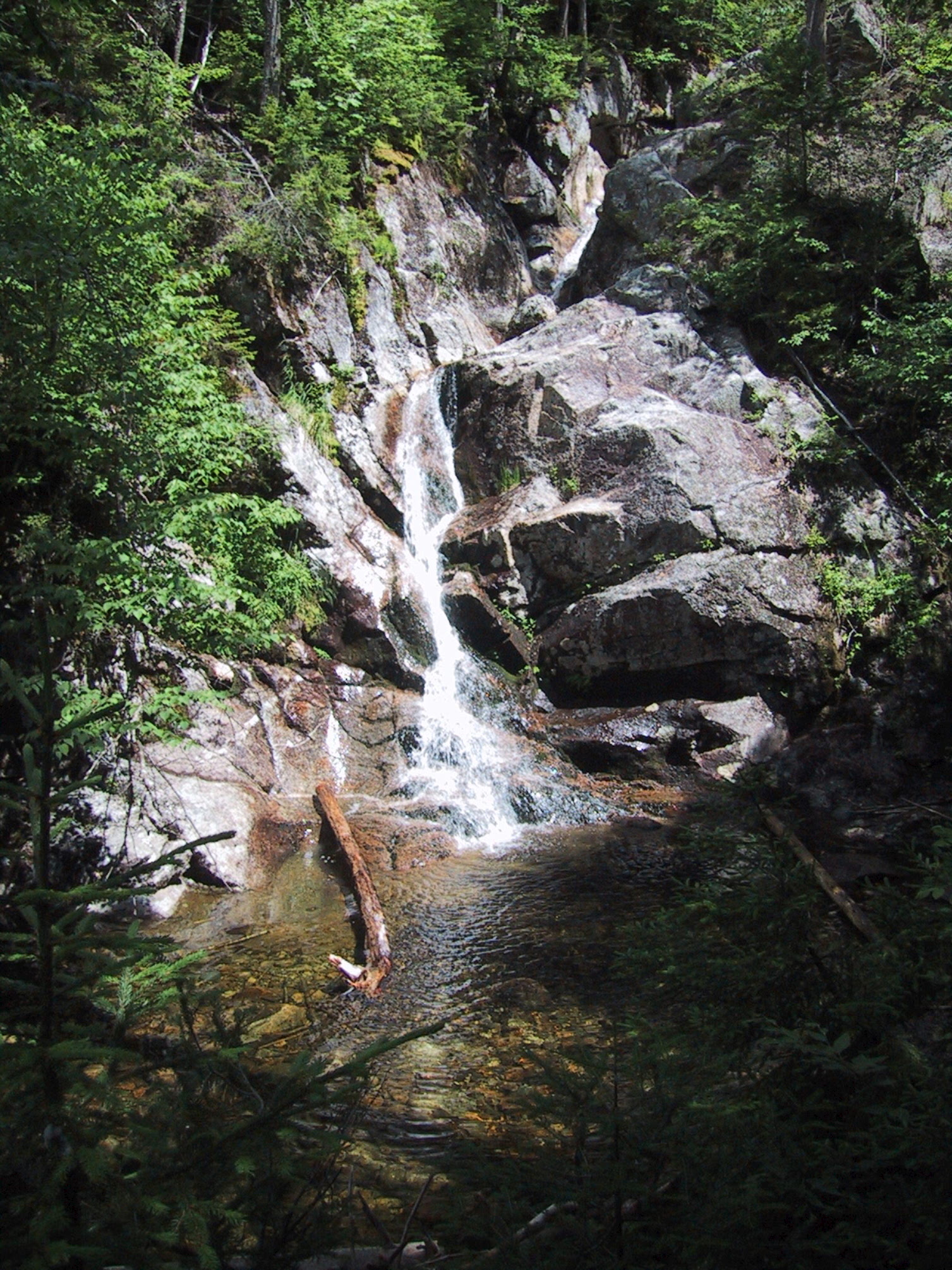
Gibbs Falls. |
|
|
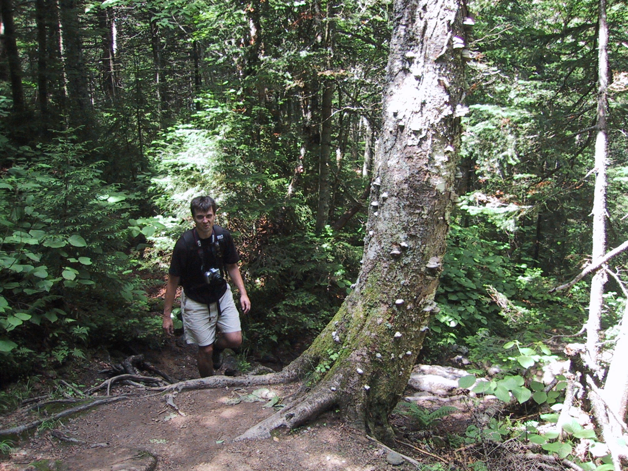
Trees are nice, but at this point we were getting impatient to reach the ridge. |
|
|
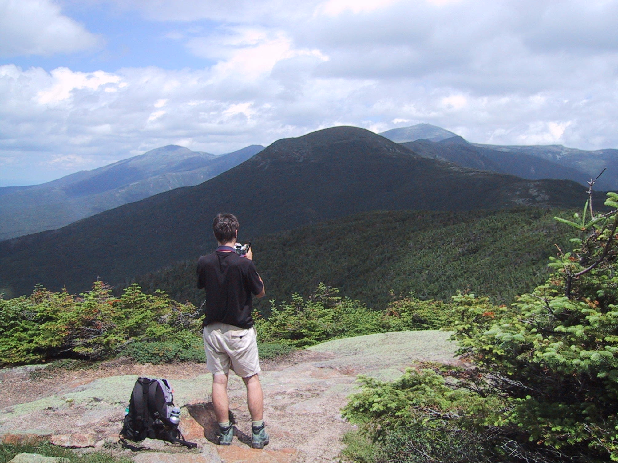
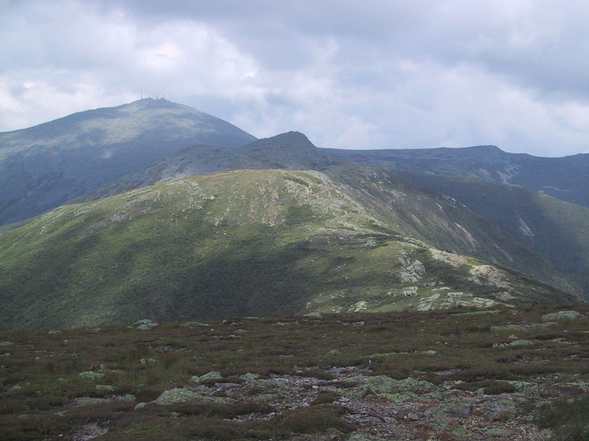
After an hour and a half of hiking, we reached treeline at the summit of Mt Pierce. Mt Eisenhower is just ahead, Mt Washington is visible on the horizon, and that's Mt Jefferson on the far left. |
|
|
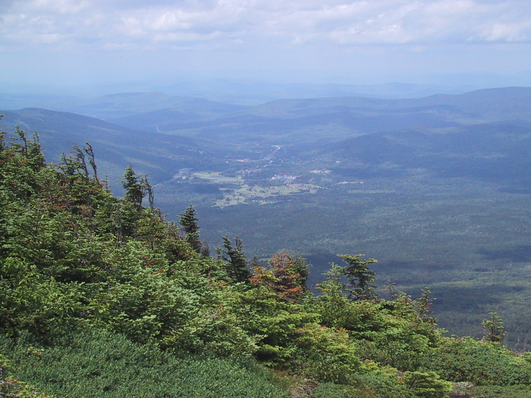
View back toward the road & the Mt Washington Hotel. |
|
|
View from the summit of Mt Eisenhower. |
|
|
View when turning slightly further northward. |
|
|
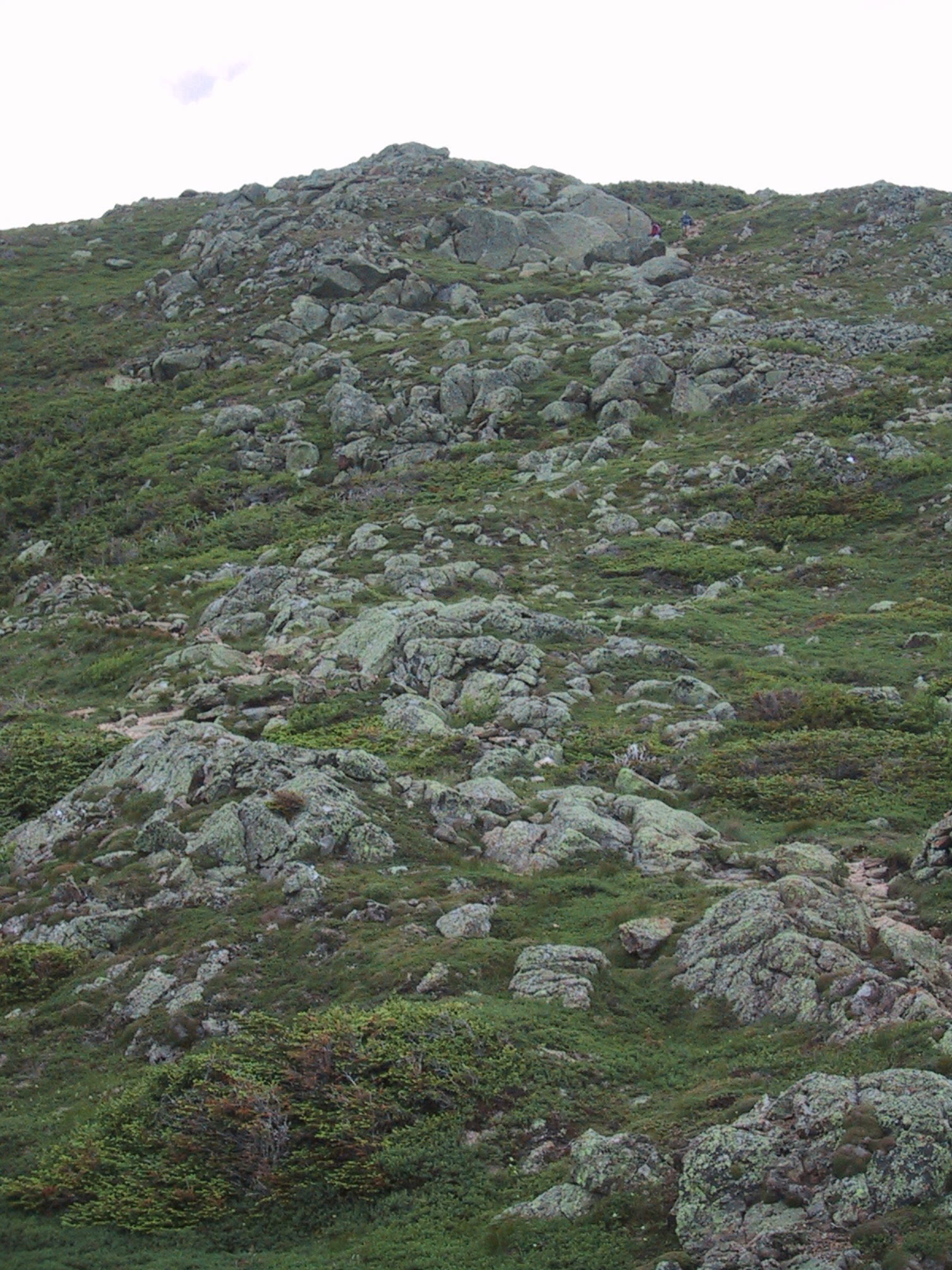
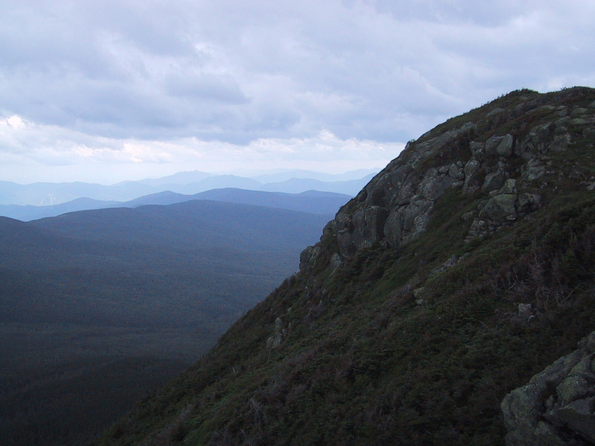
A steep section of ridge. |
|
|
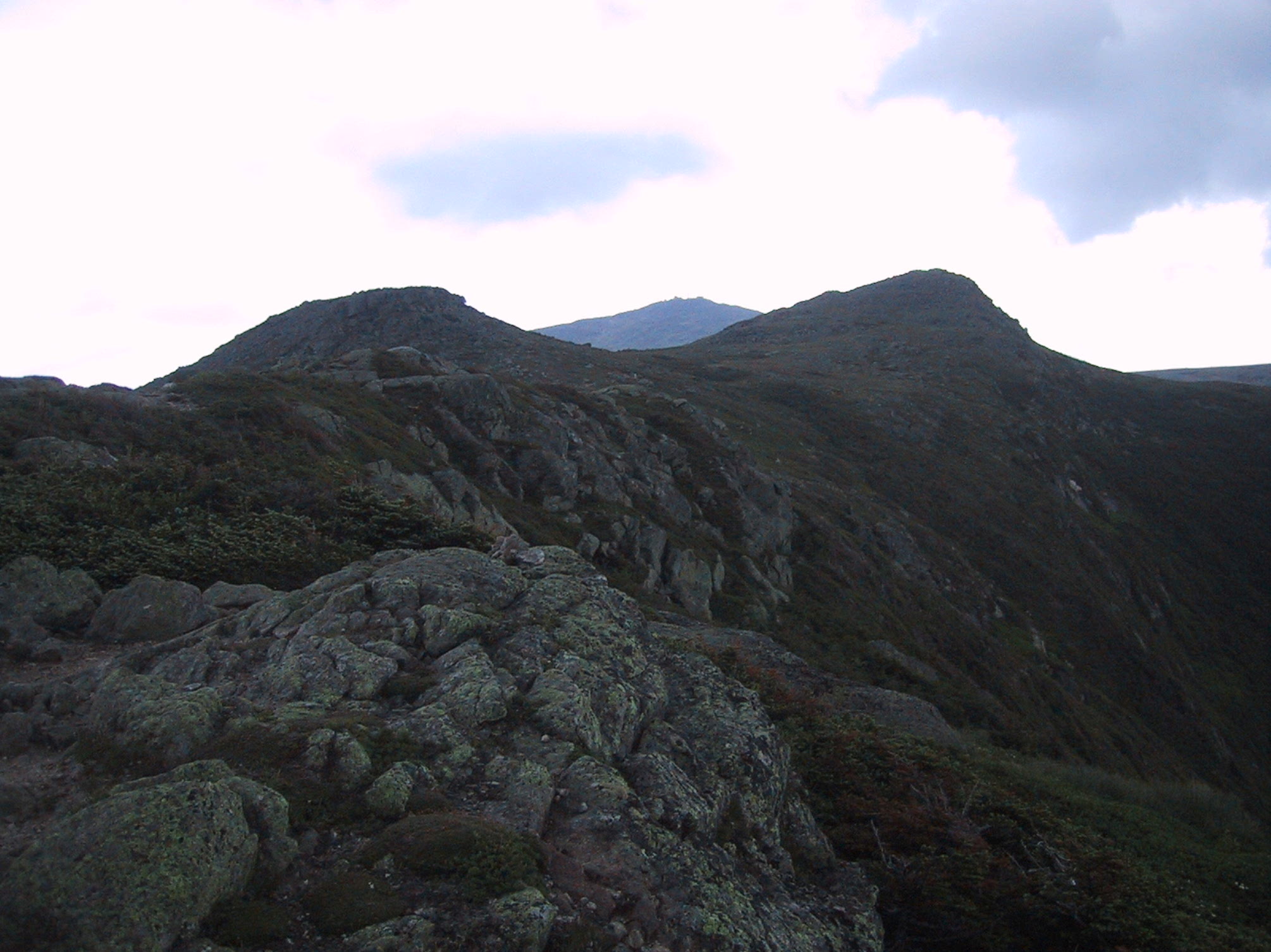
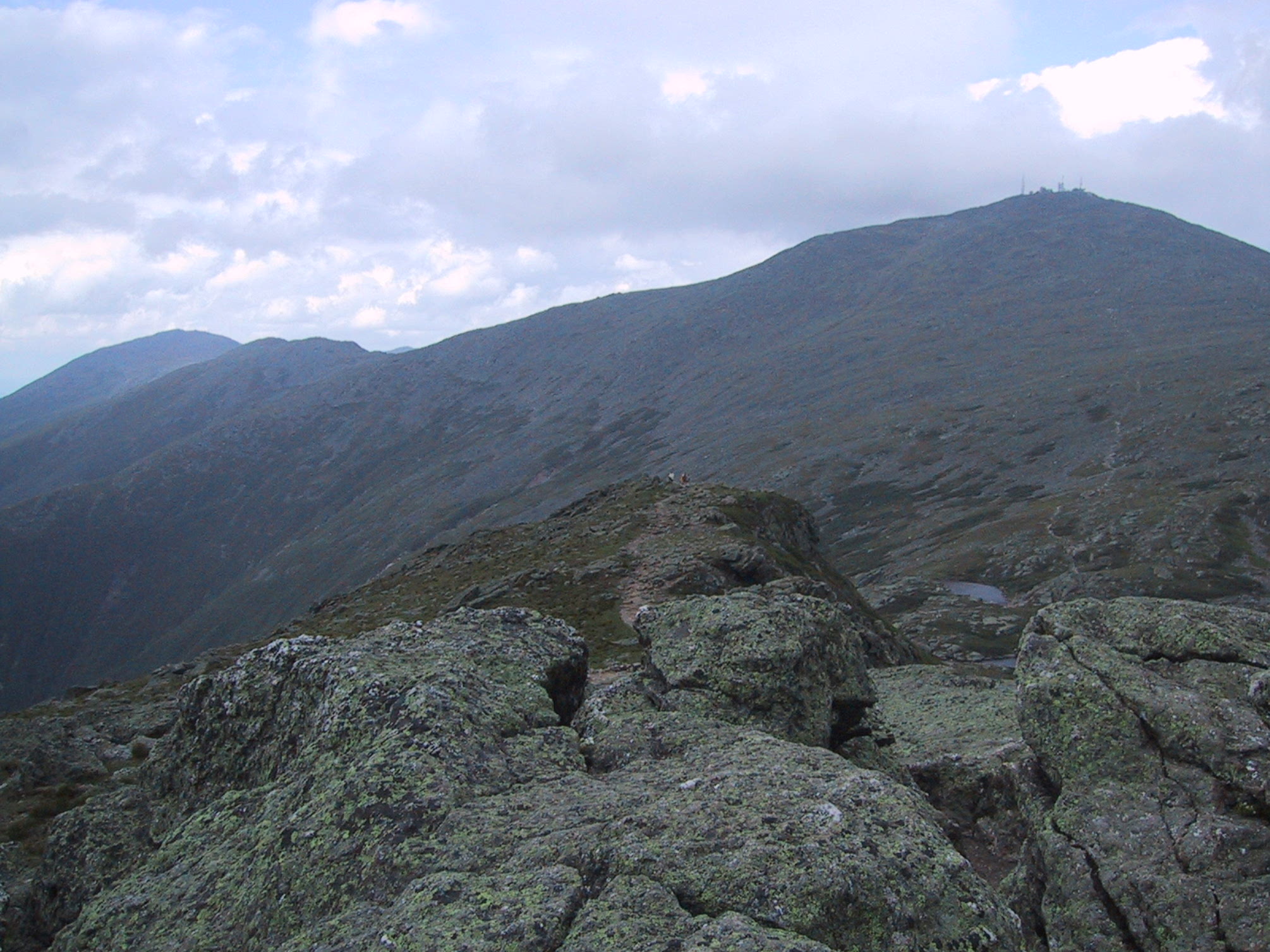
View back toward Mt Eisenhower from a bit farther along the ridge. |
|
|
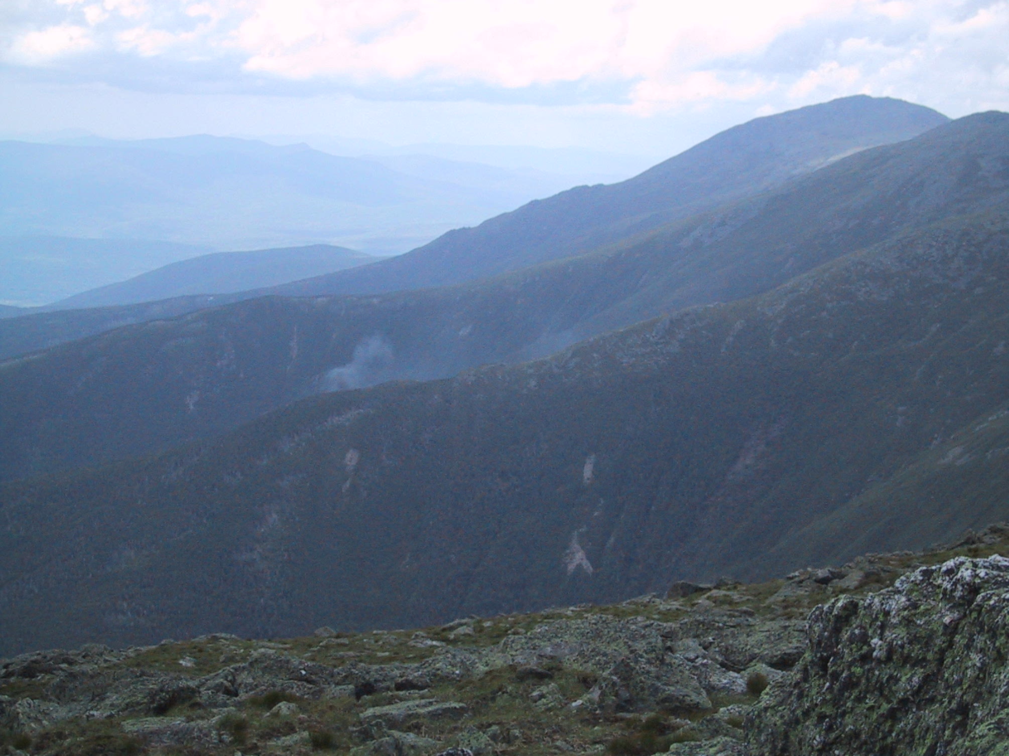
View southward over the Dry River Wilderness. As you can probably perceive, the weather had gotten cloudier & was threatening rain. |
|
|
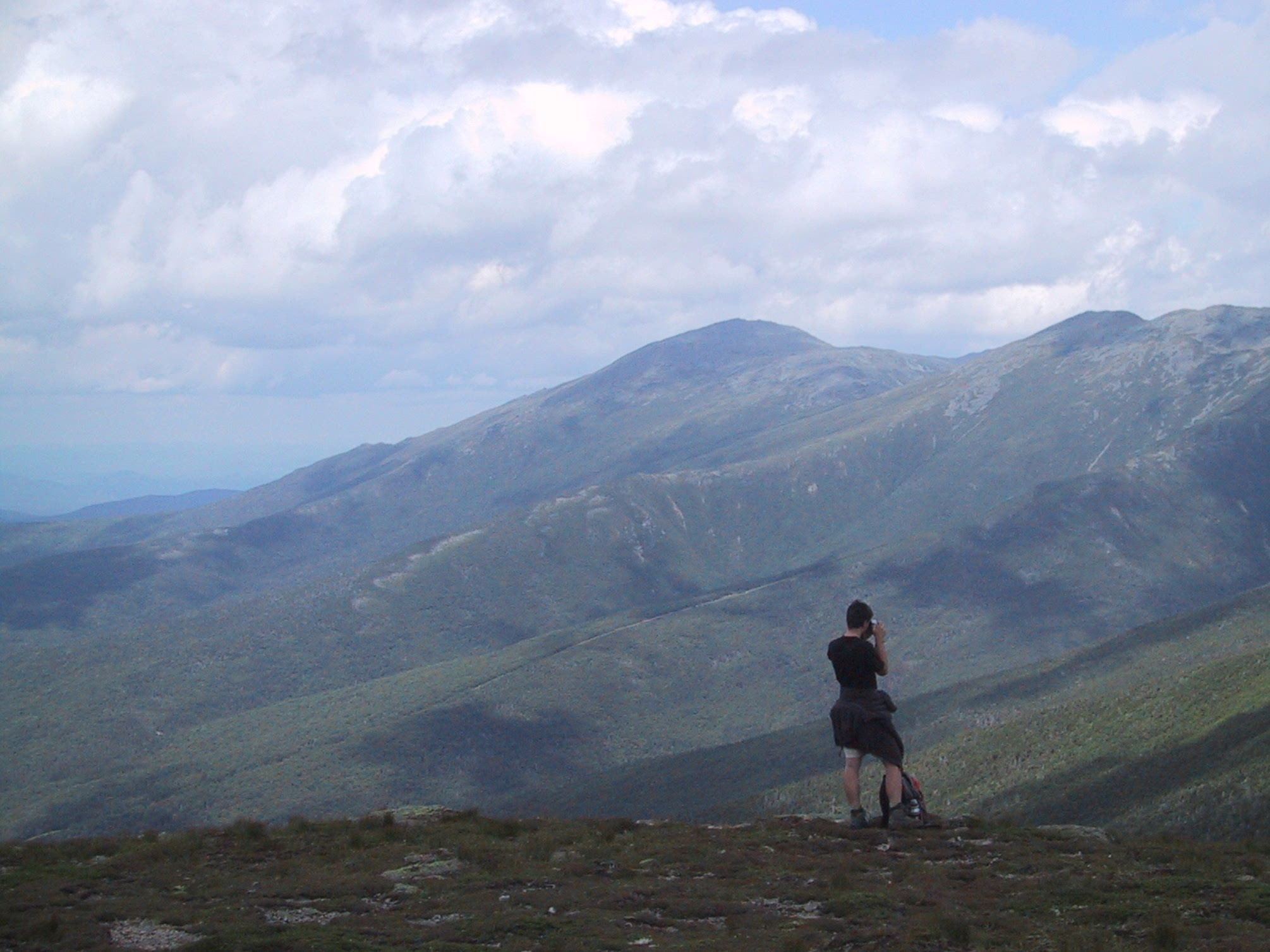
Approaching Mts Franklin (left) and Monroe, with Mt Washington visible in the center. |
|
|
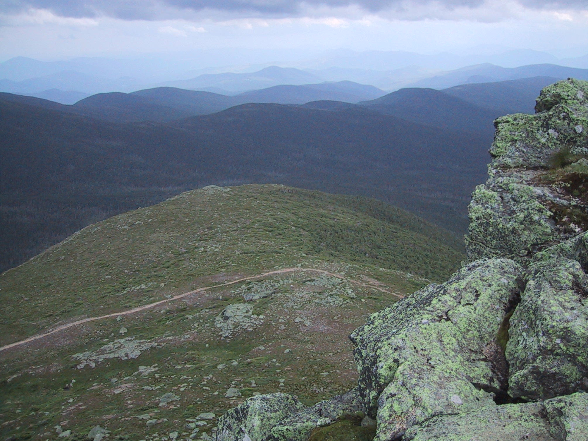
View southwest (ie, back along the ridge) from the summit of Mt Franklin. |
|
|
At this point the rain caught us. Fortunately it stopped soon afterward. |
|
|
Nearing the top of Mt Monroe, the Lakes of the Clouds are visible. |
|
|
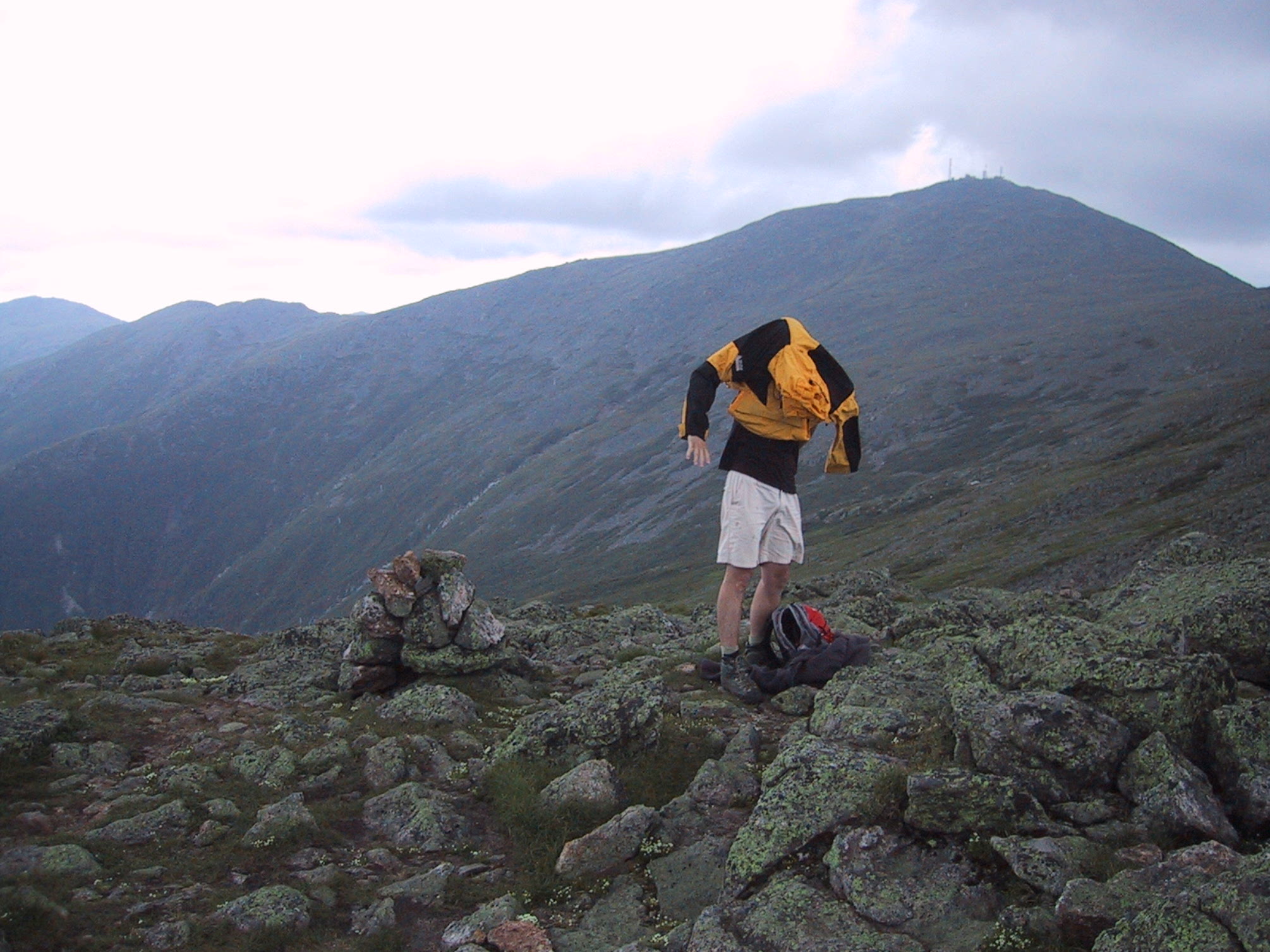
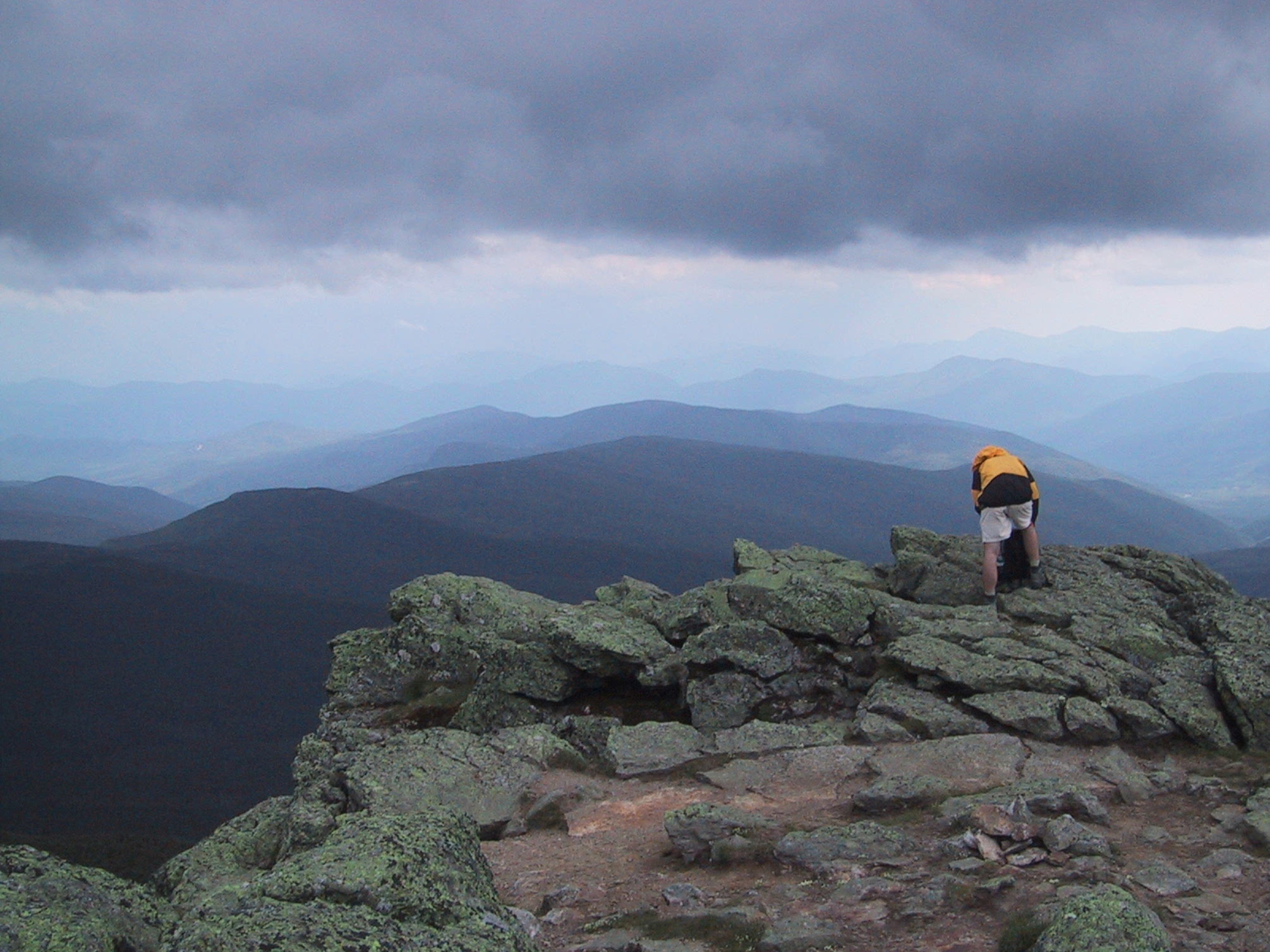
Those who are afraid of heights can take the low road. |
|
|
This is the summit of Monroe. View southward. |
|
|
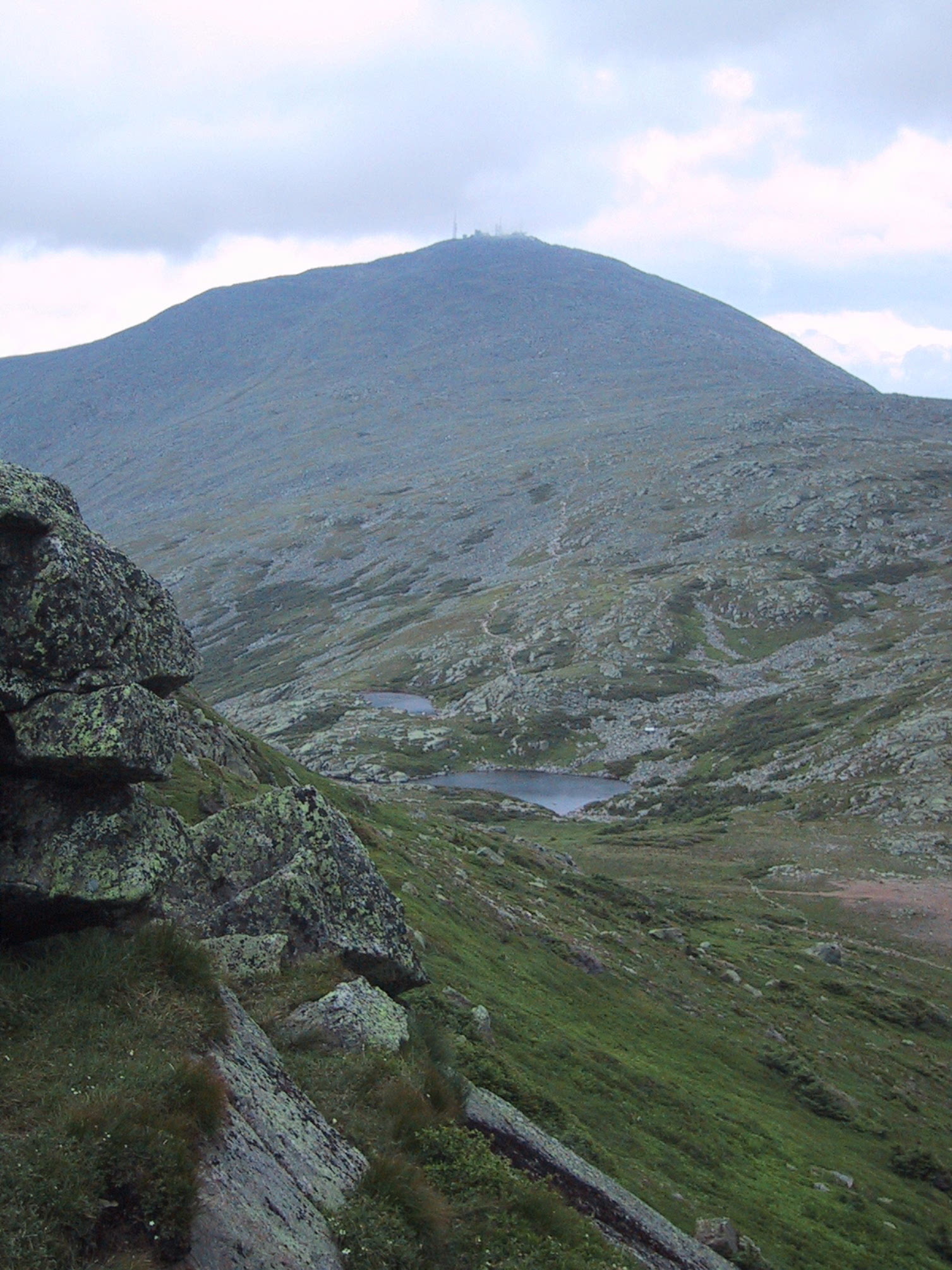
View of Mt Washington from the top of Mt Monroe. |
|
|
That puff of smoke is from the Cog Railroad. |
|
|
The rain clouds pass overhead; view eastward. |
|
|
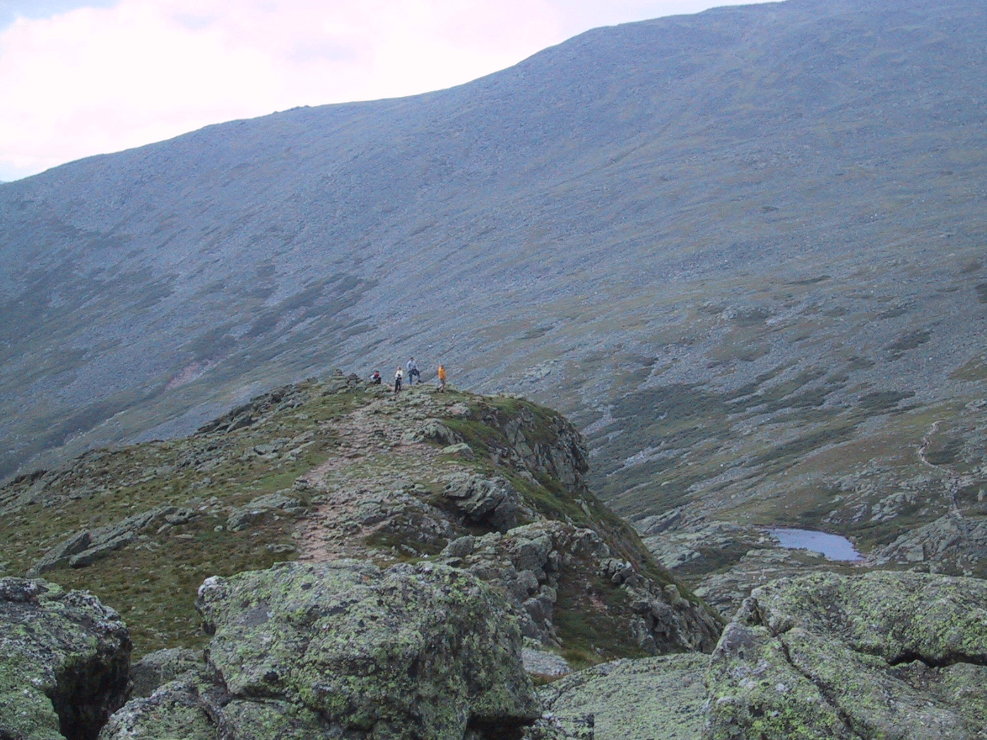
This is the last spur of Mt Monroe before descending to the Lakes of the Clouds and the AMC hut. |
|
|
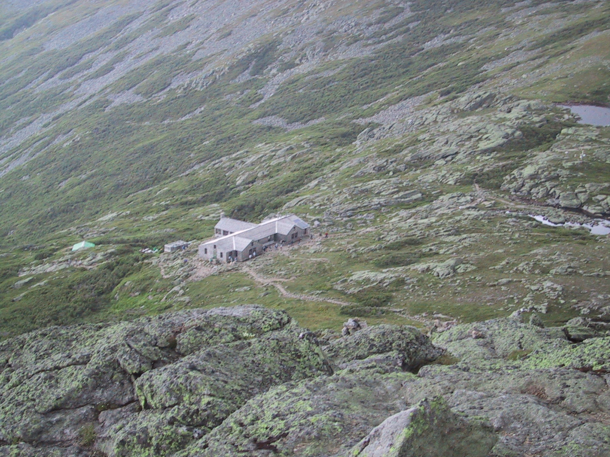
The hut, seen from the spur. |
|
|
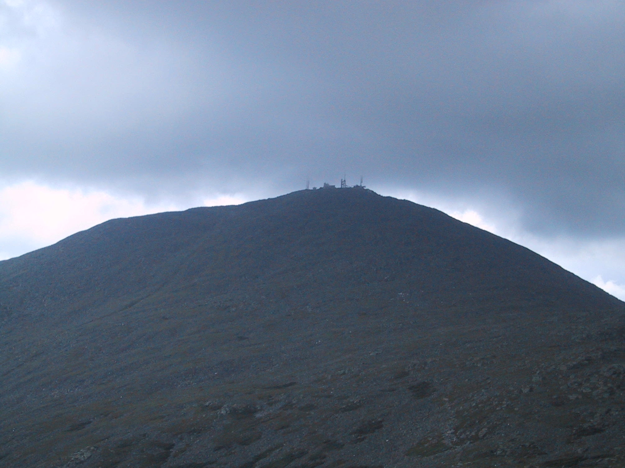
Mt Washington shows why it's famous for sudden weather changes. That cloud is actually touching the summit. |
|
|
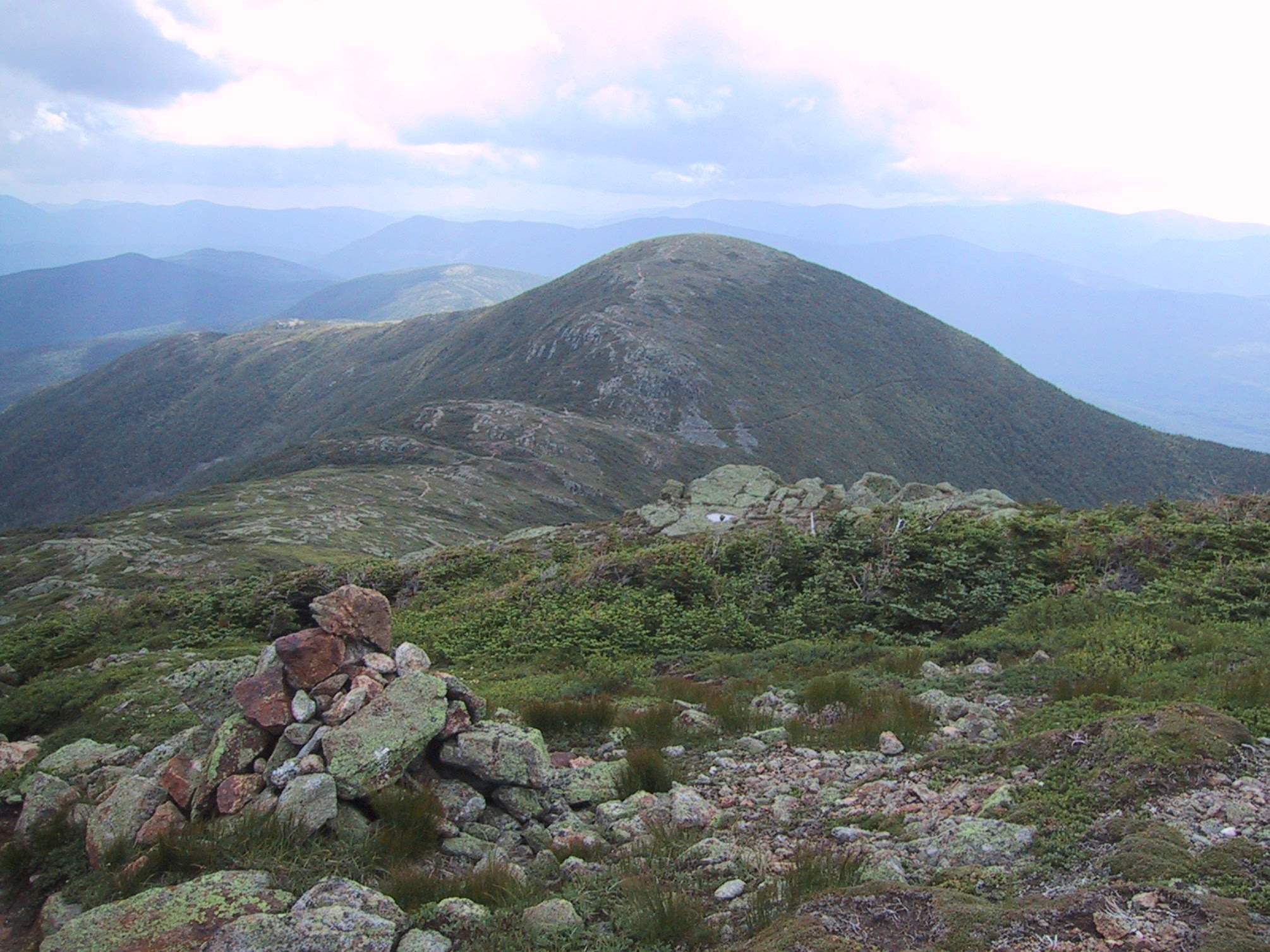
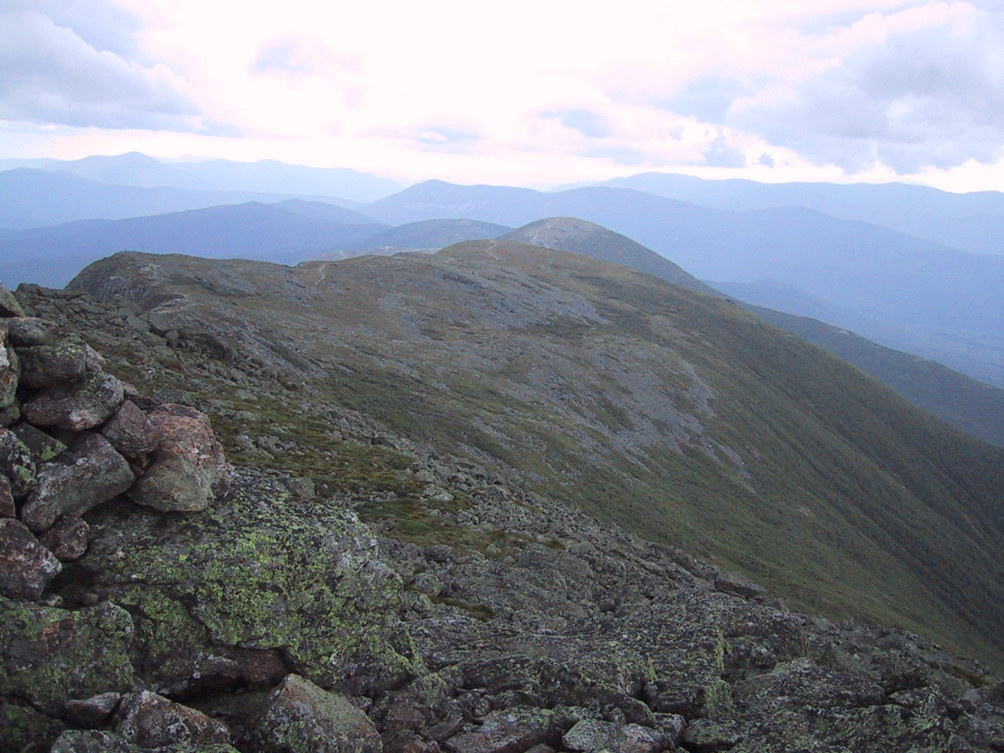
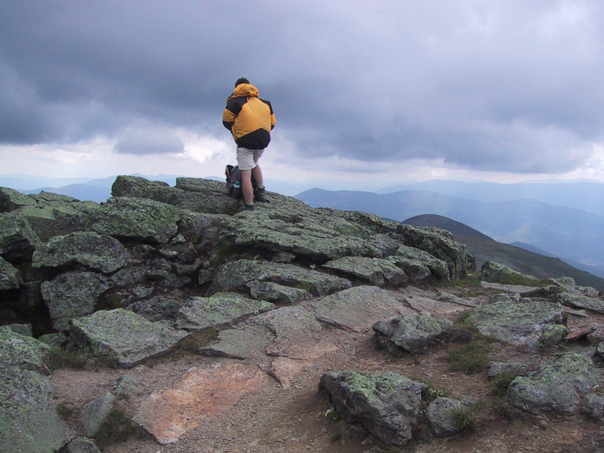
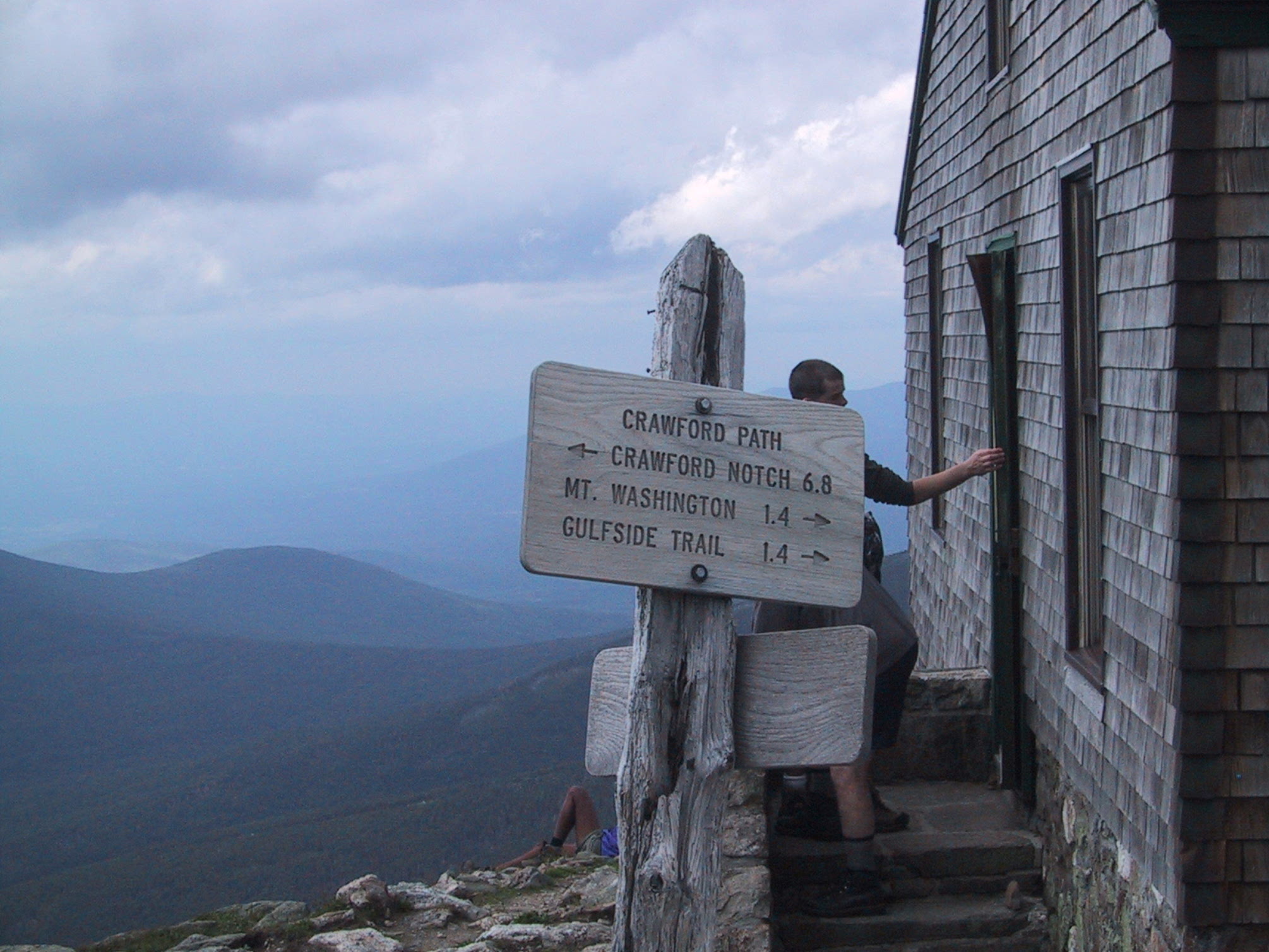
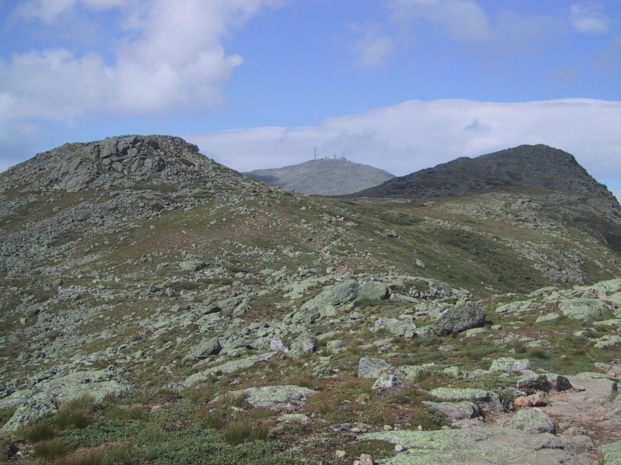
Only 1.4 miles to the summit. Very, very tempting, but it's a long road (seven miles, in fact) back to the car, and it's getting late. |
|
|
Heading back: view of that spur on Mt Monroe, from the bottom. |
|
|
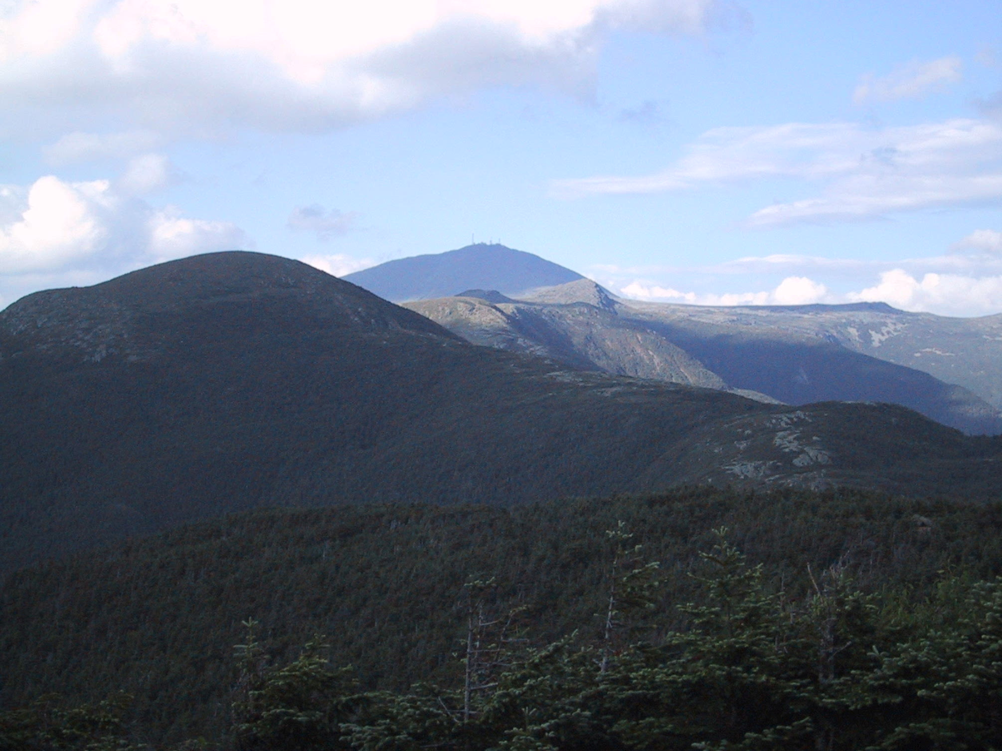
Farewell to Mts Franklin, Washington, and Monroe. |
|
|
Final farewell, from Mt Pierce. |