
Photos are organized by date, with a bit of narrative for each day.
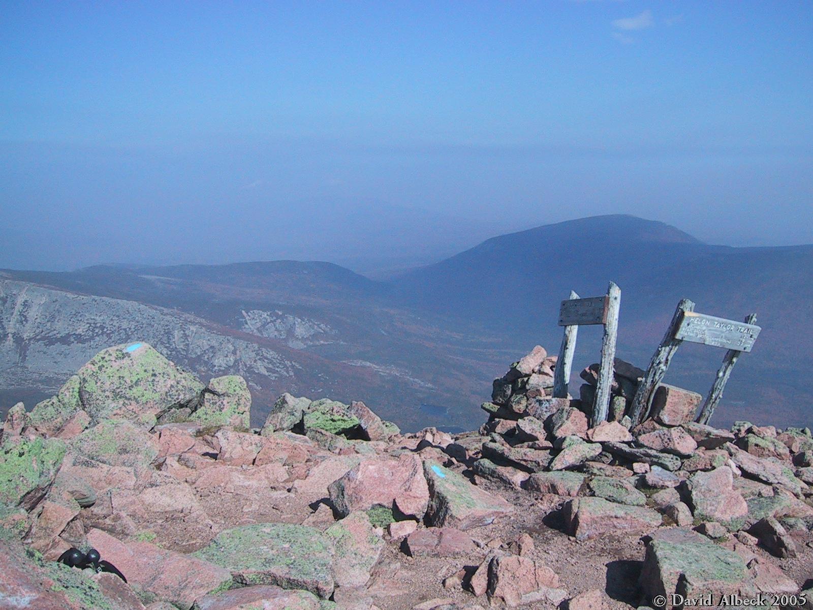
Spent the night at Abol Campground, then got up early, drove to Roaring Brook, and took the Helon Taylor trail to Pamola Peak. From there we crossed the Knife Edge (cautiously, due to wind) to baxter05 Peak, walked down the saddle to Hamlin Peak, and returned to Roaring Brook via Hamlin Ridge.
|
|
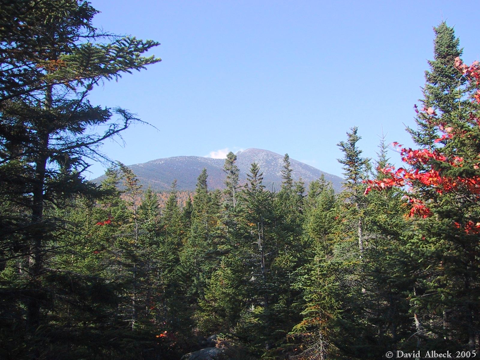
Not far from the trailhead, a view of Pamola Peak in the distance. Our trail goes along the top of Keep Ridge, visible to the left of the peak. | ||
|
|
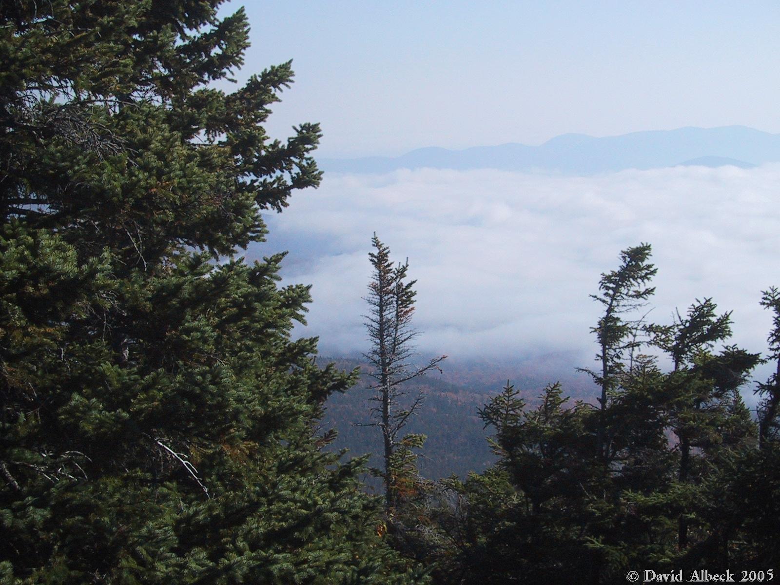
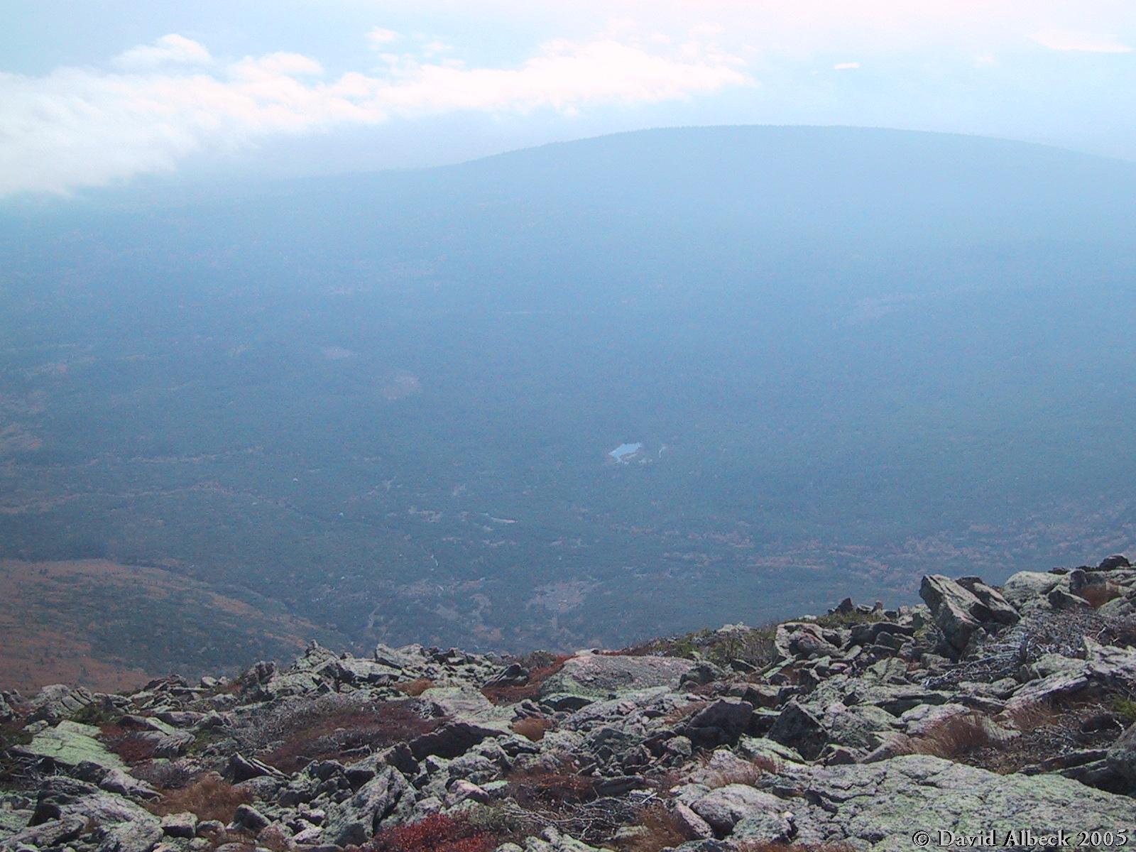
As we start to climb we can see clouds in the valley below us. | ||
|
|
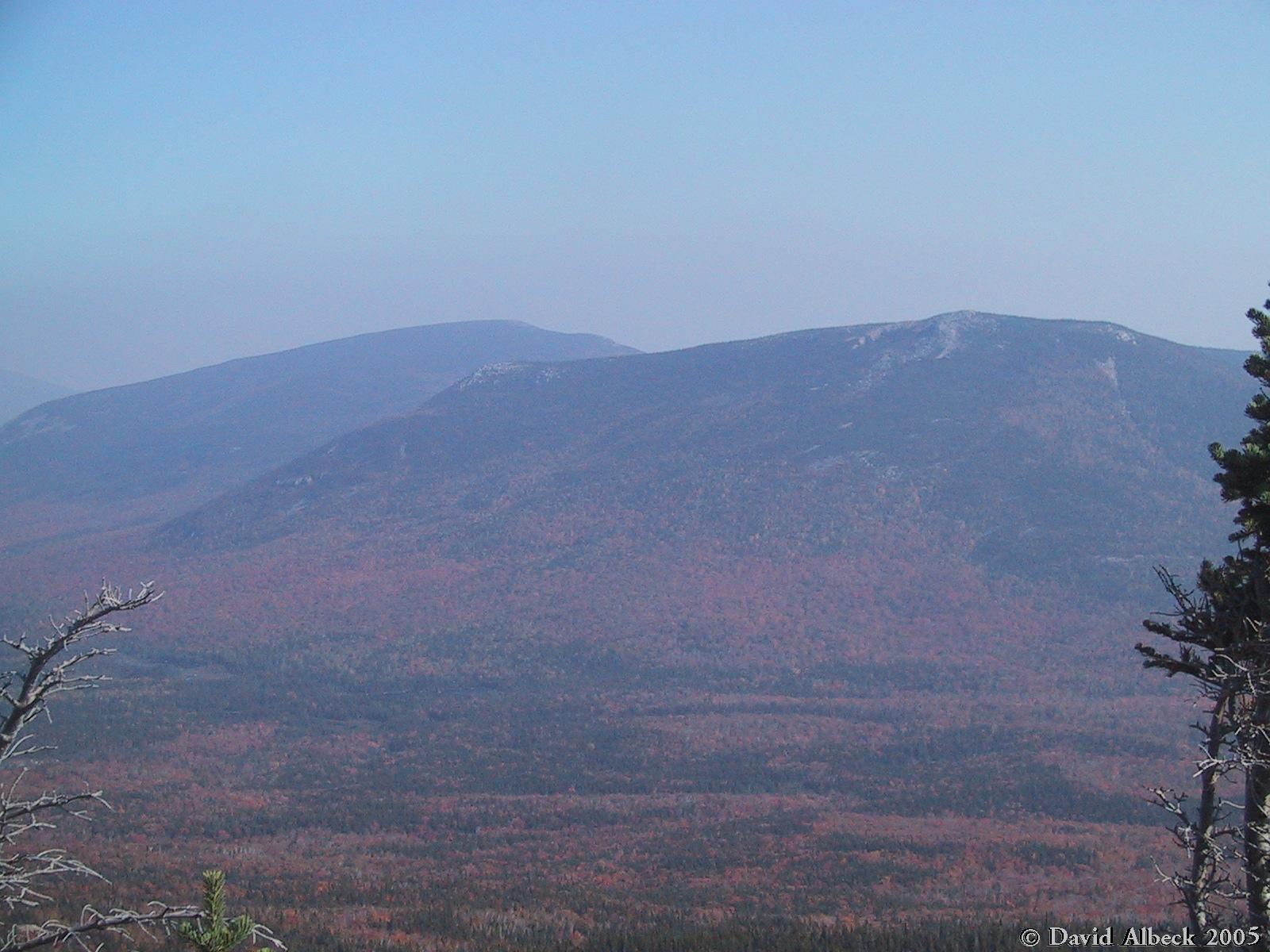
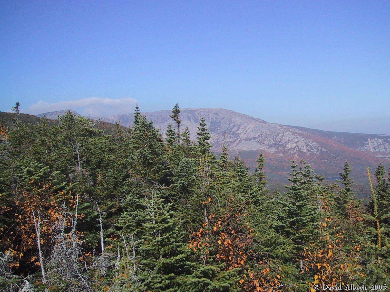
A view towards Turner Mountain | ||
|
|
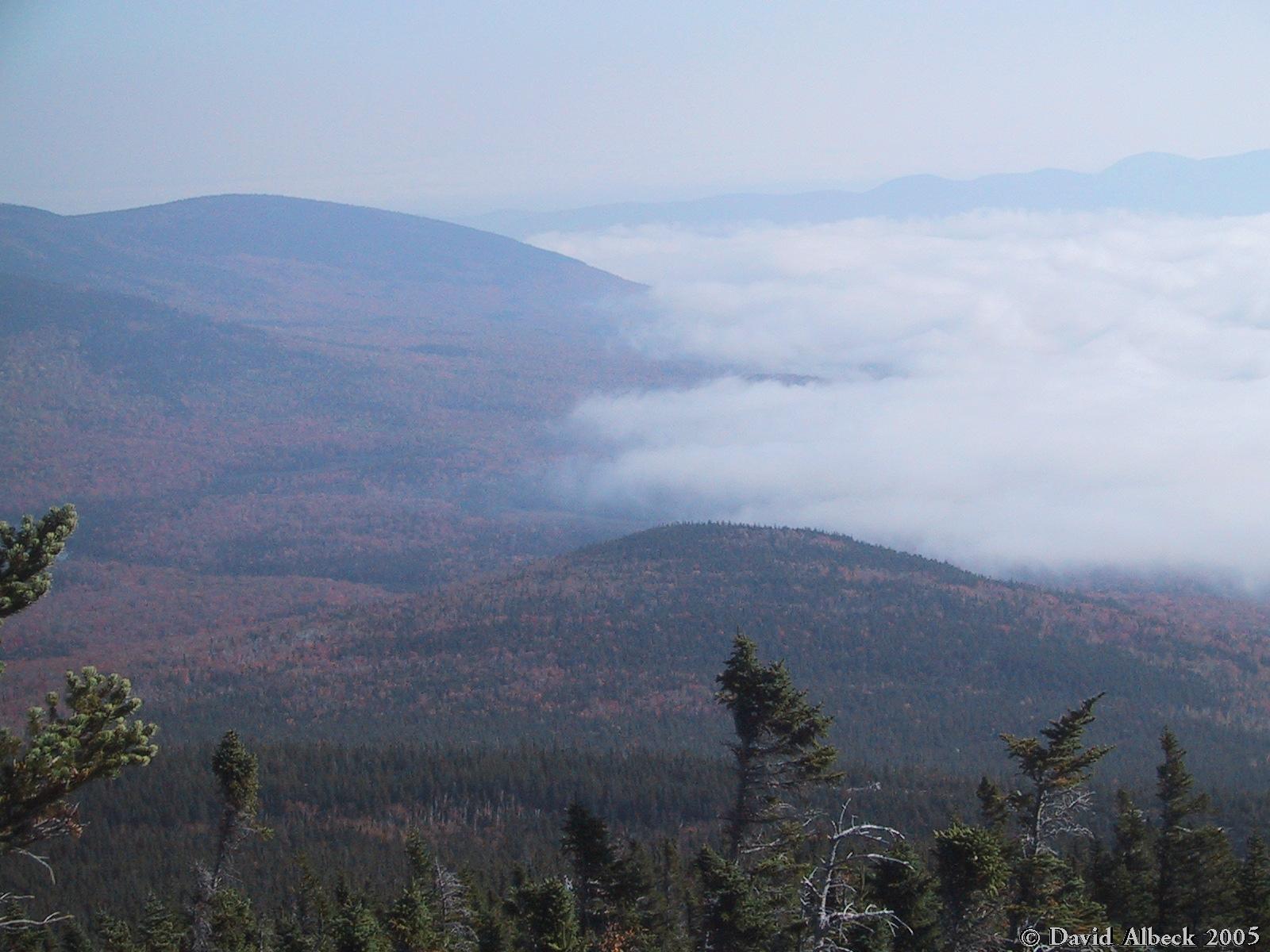
Another view of the clouds below Turner Mountain. | ||
|
|
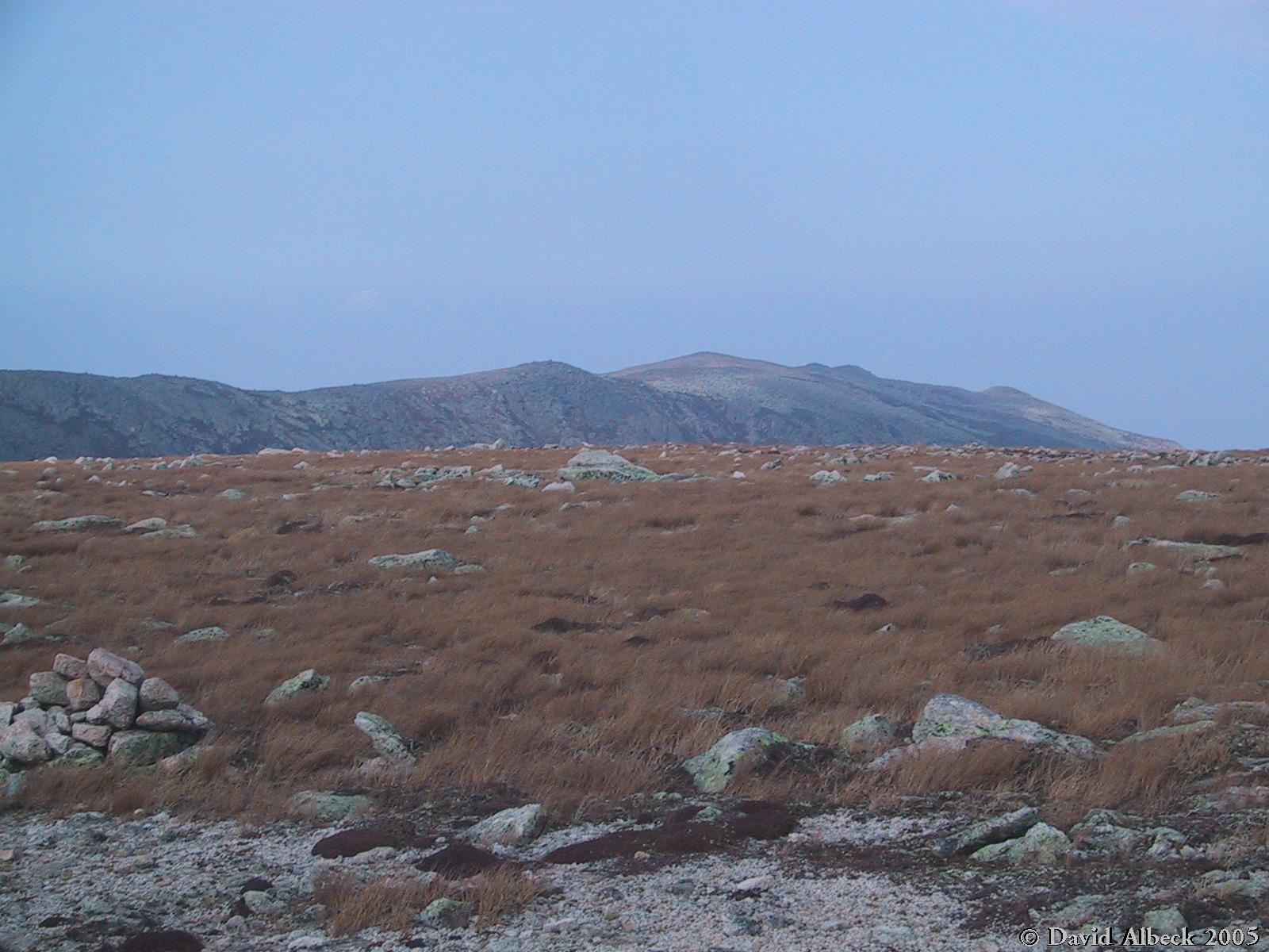
Approaching treeline, a view north to the Howe Peaks and North Basin | ||
|
|
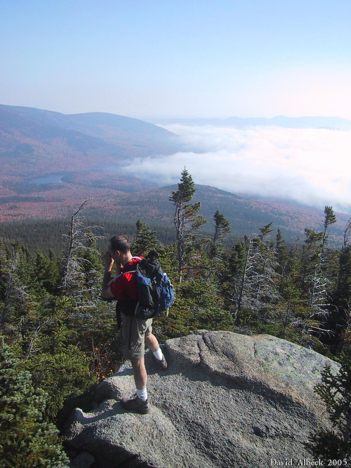
Matt stops for a photograph. | ||
|
|
From here you can see Hamlin Peak as well as Howe Peak. | ||
|
|
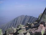
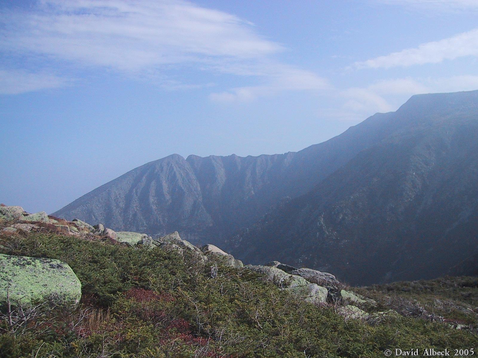
A view of the Knife Edge from below. South Peak is at left, Pamola Peak at right, with Chimney Peak next to Pamola Peak. | ||
|
|
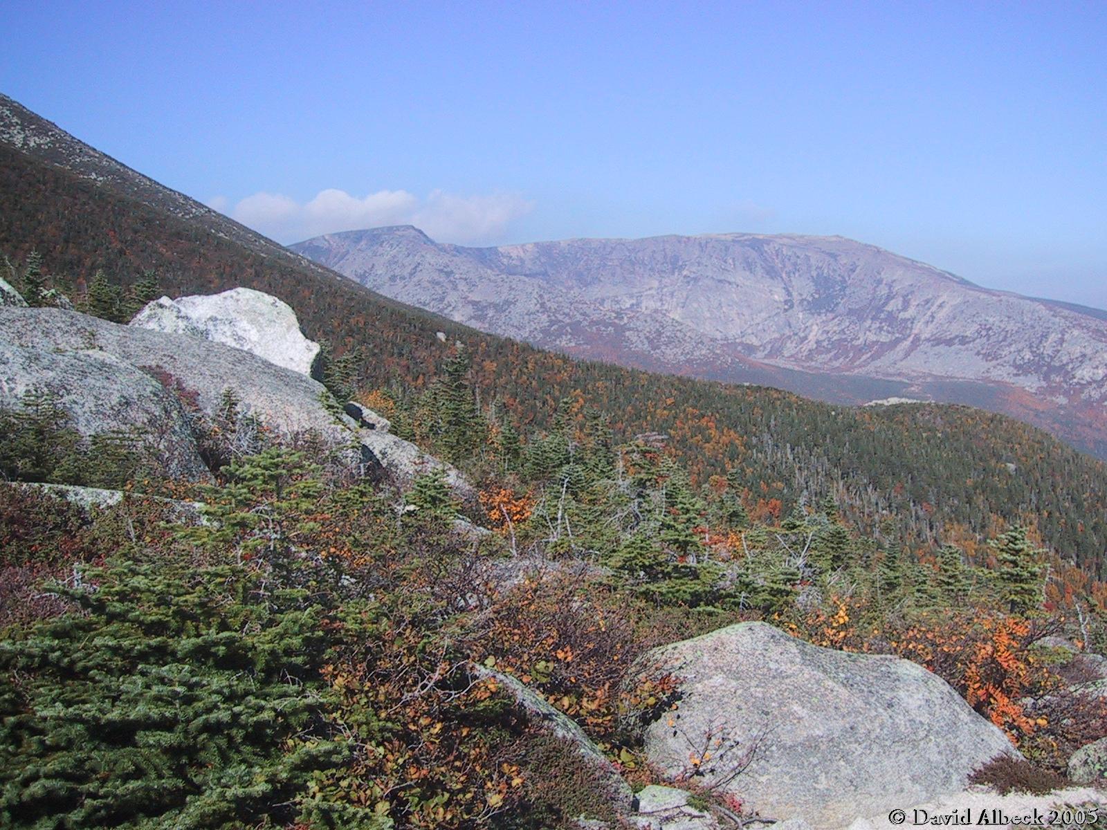
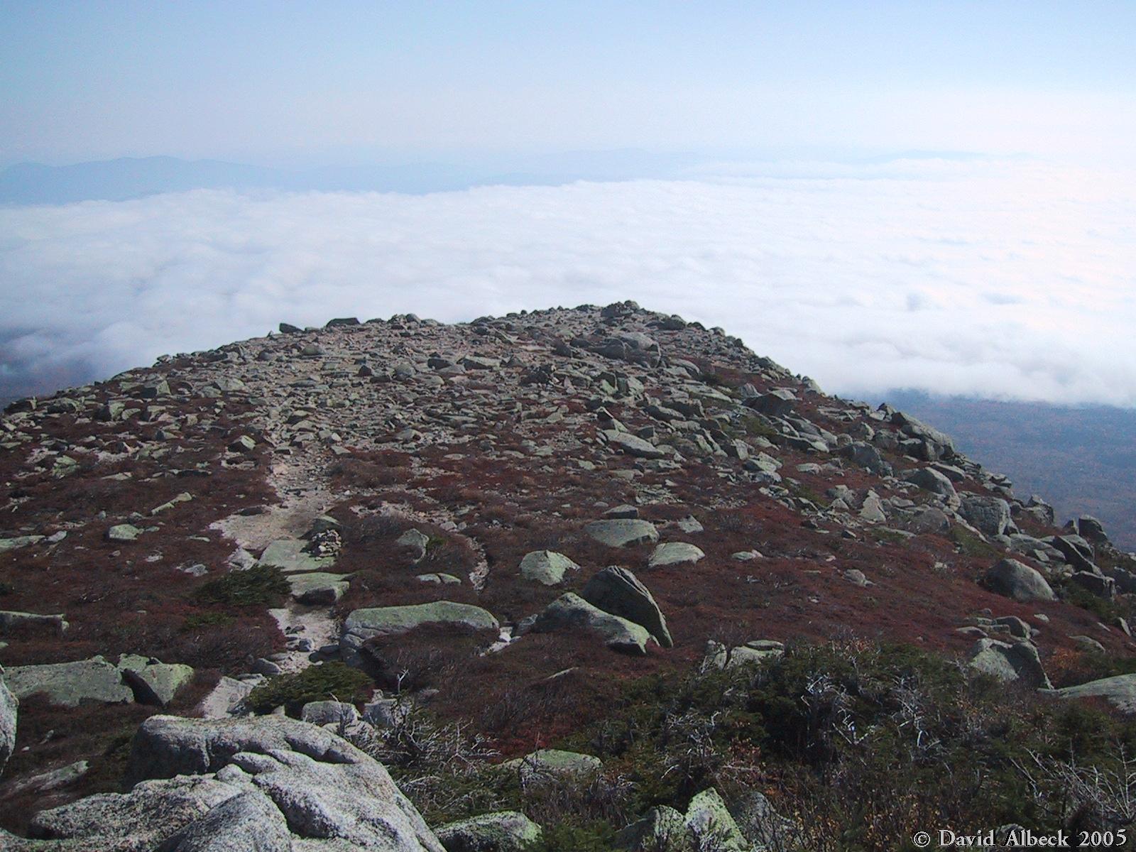
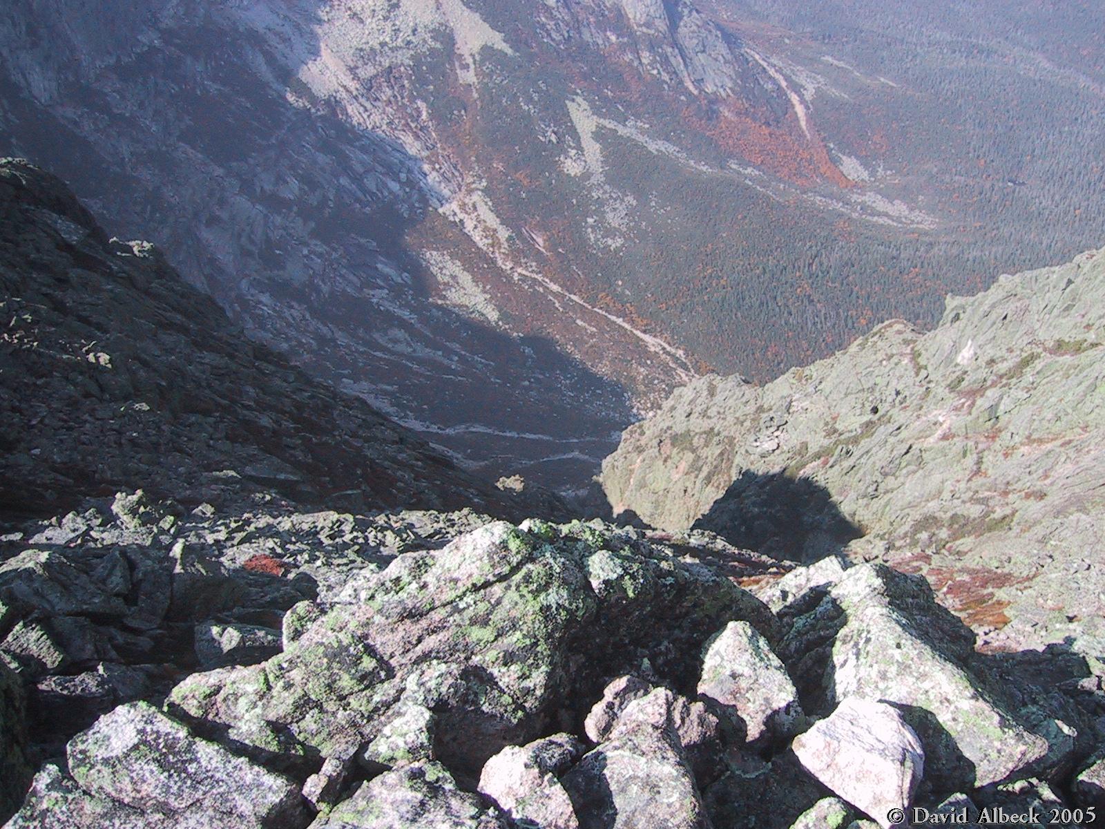
Looking down Keep Ridge at the clouds below. | ||
|
|
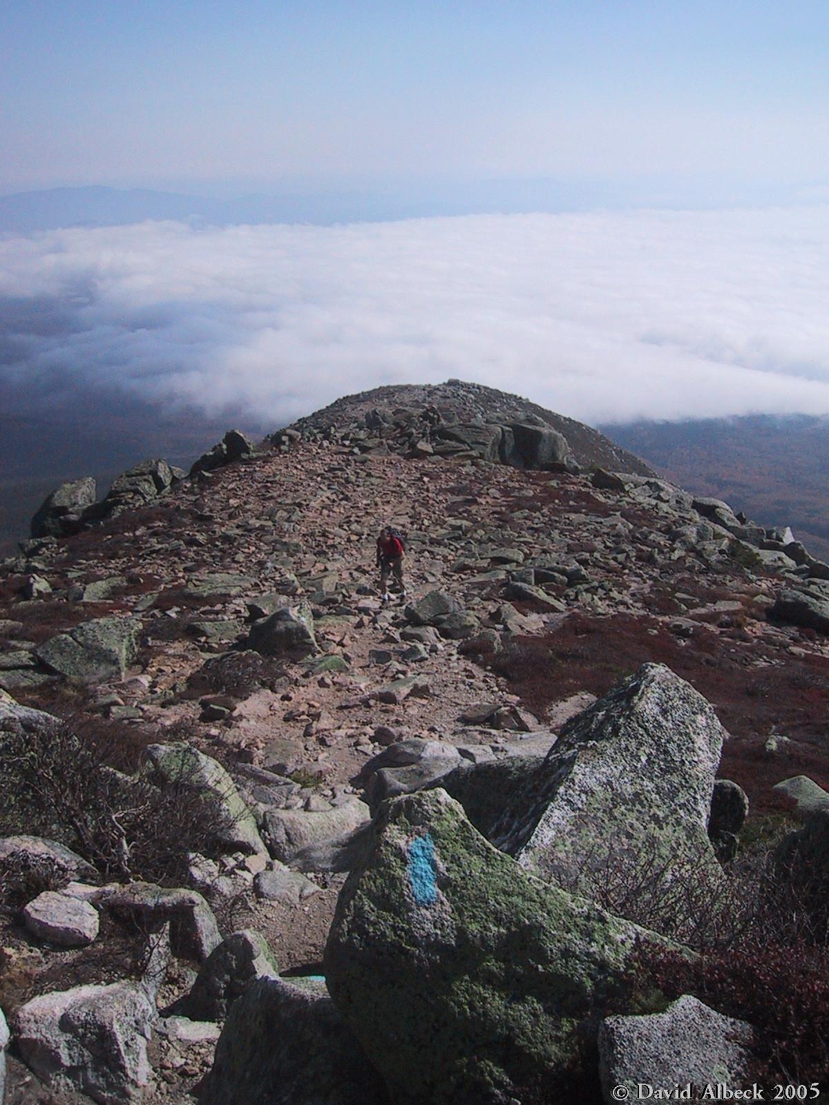
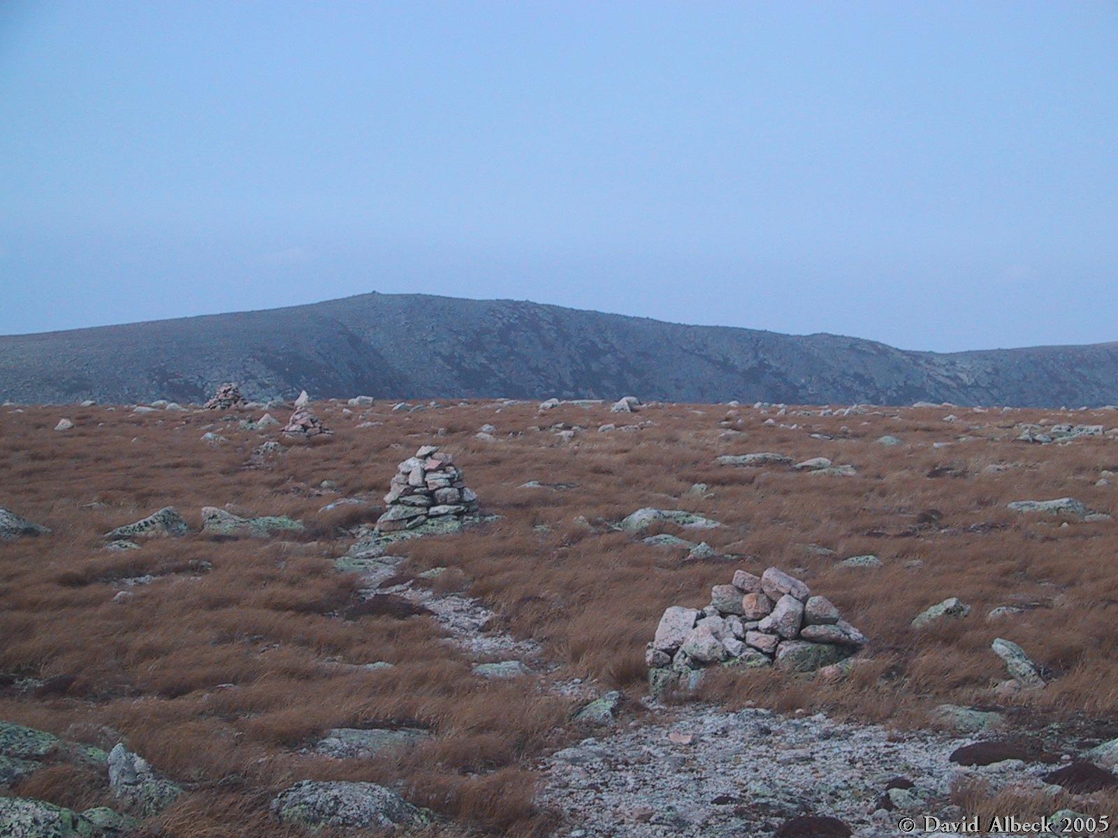
A bit further up Keep Ridge, with Matt in the shot for a sense of scale. | ||
|
|
A larch tree turned dwarf by altitude and yellow for fall. | ||
|
|
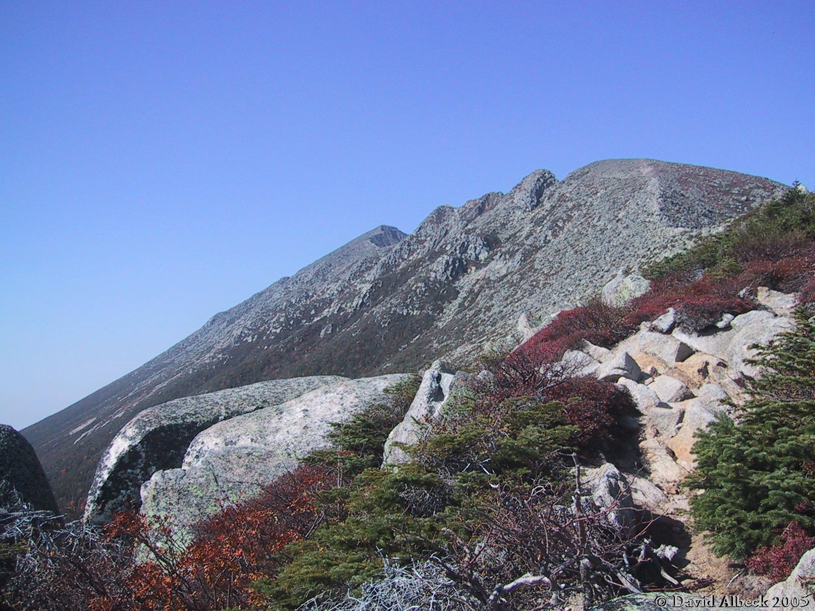
One more view down Keep Ridge as we approach Pamola Peak. | ||
|
|
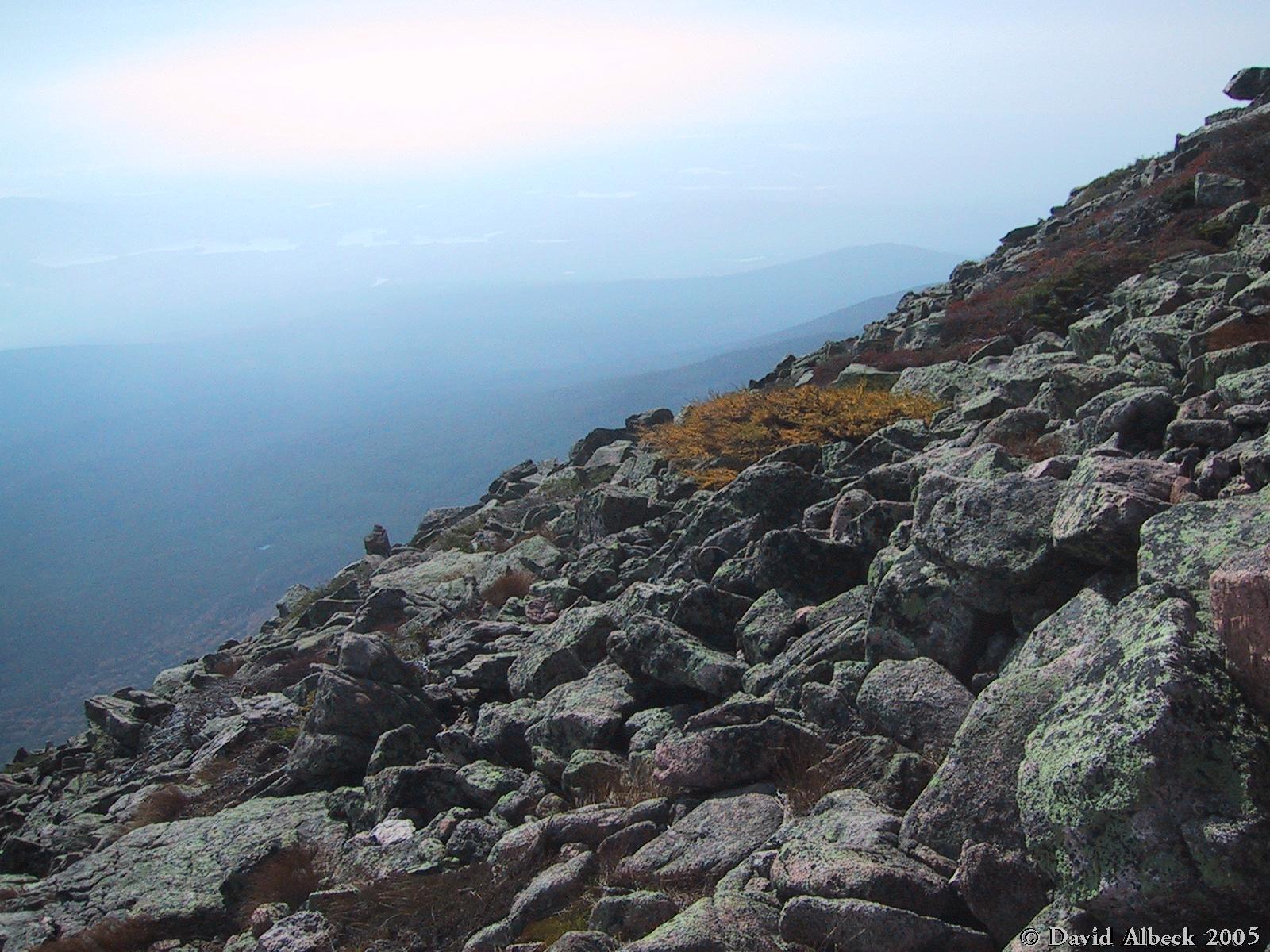
A southerly view - the clouds have lifted but the air remains hazy. | ||
|
|
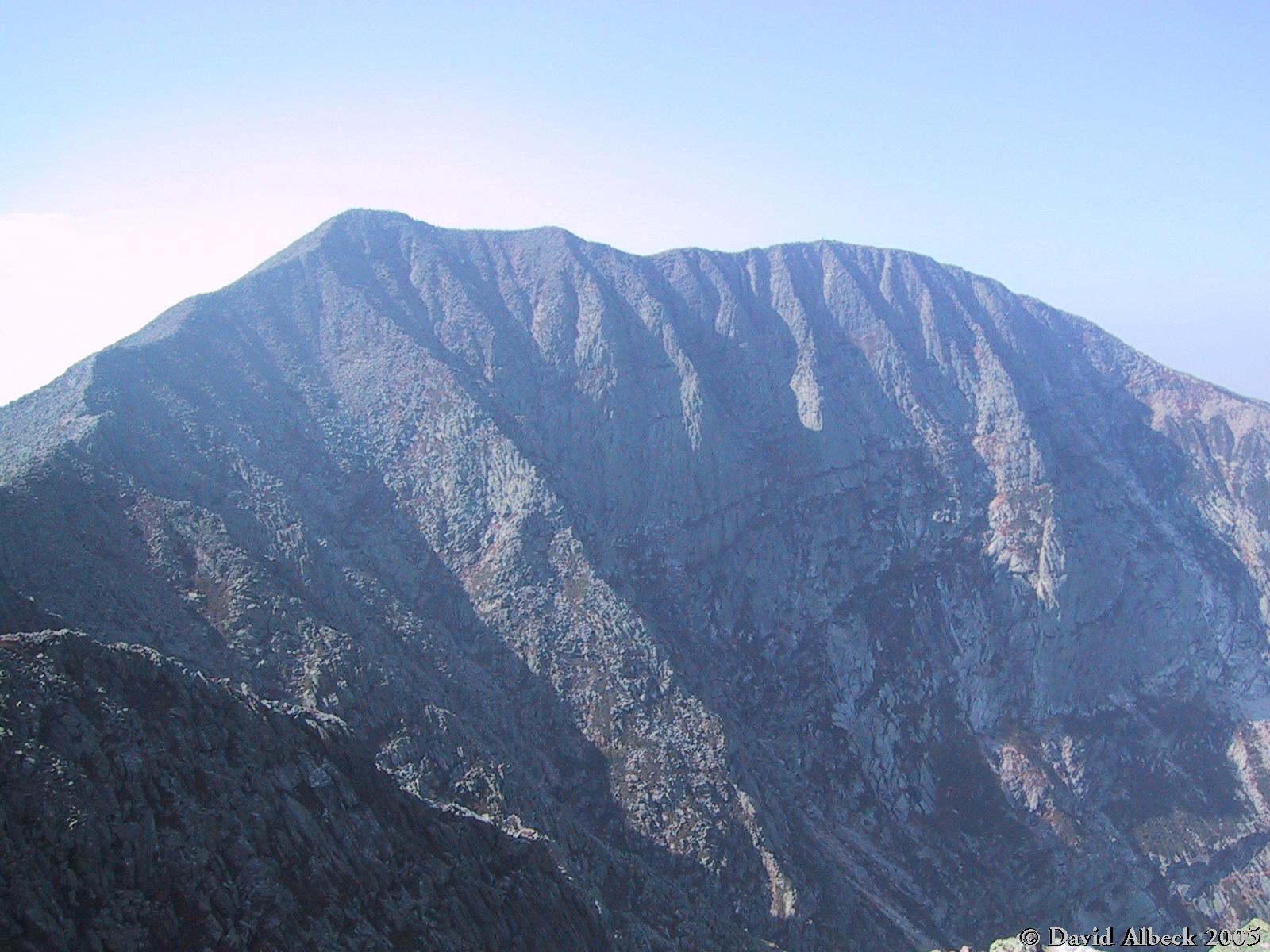
South Peak (left) and Baxter Peak seen from Pamola Peak. Baxter peak is actually slightly higher, but South Peak is closer and so appears taller in this view. | ||
|
|
Next, we have to walk along the Knife Edge, seen here. | ||
|
|
A view over the Saddle. South Brother is barely visible in the distance. | ||
|
|
View east to Turner Mountain from Pamola Peak | ||
|
|
Panning slightly northward from the previous shot. | ||
|
|
Stepping out onto the Knife Edge: view downhill. | ||
|
|
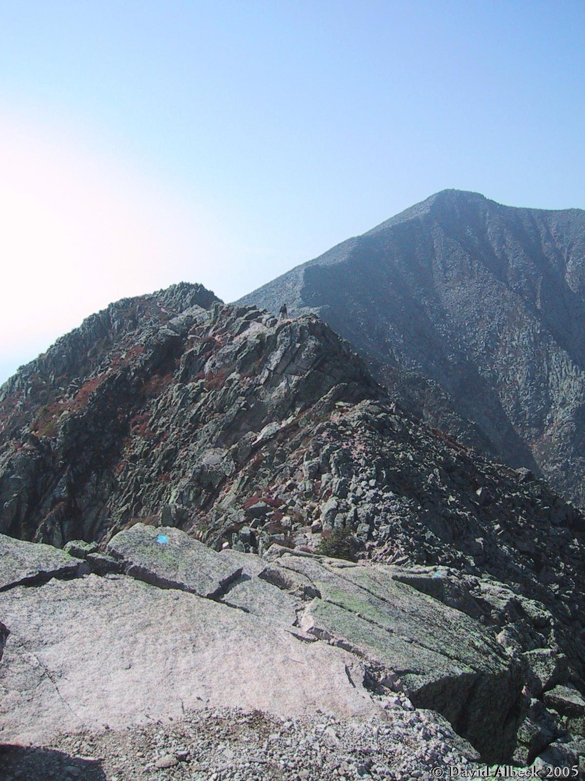
Somewhat further along, the Knife Edge widens enough to permit photography again. A lone hiker looks ahead to South Peak. | ||
|
|
Zoomed in on the hiker. | ||
|
|
Looking back east along the Knife Edge | ||
|
|
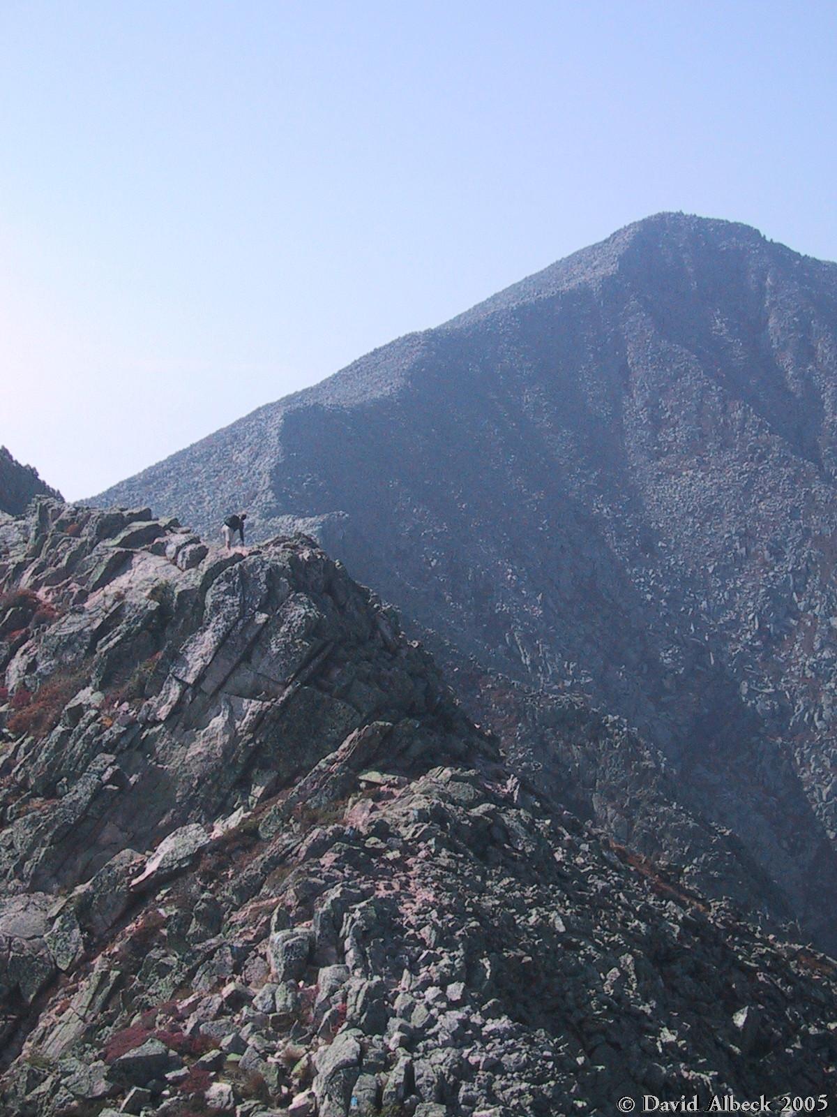
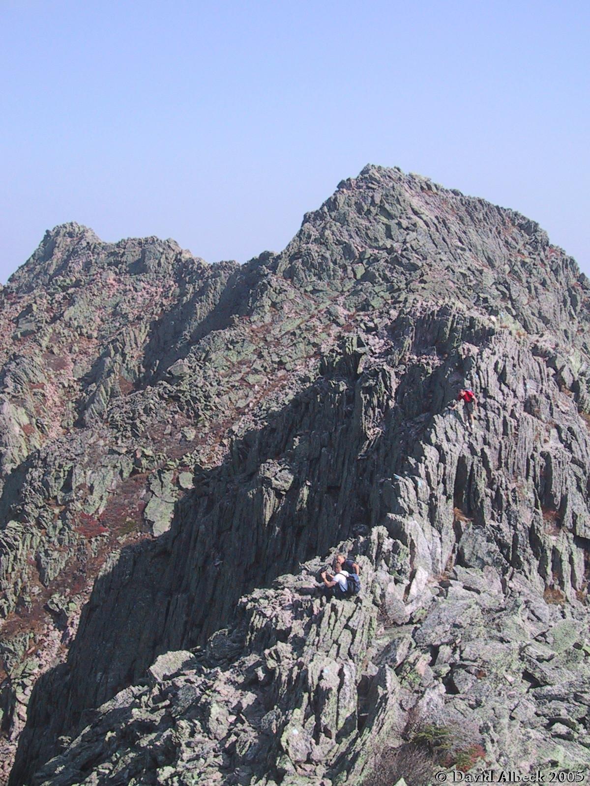
Zoomed in on Matt as he makes his way along the ridge. | ||
|
|
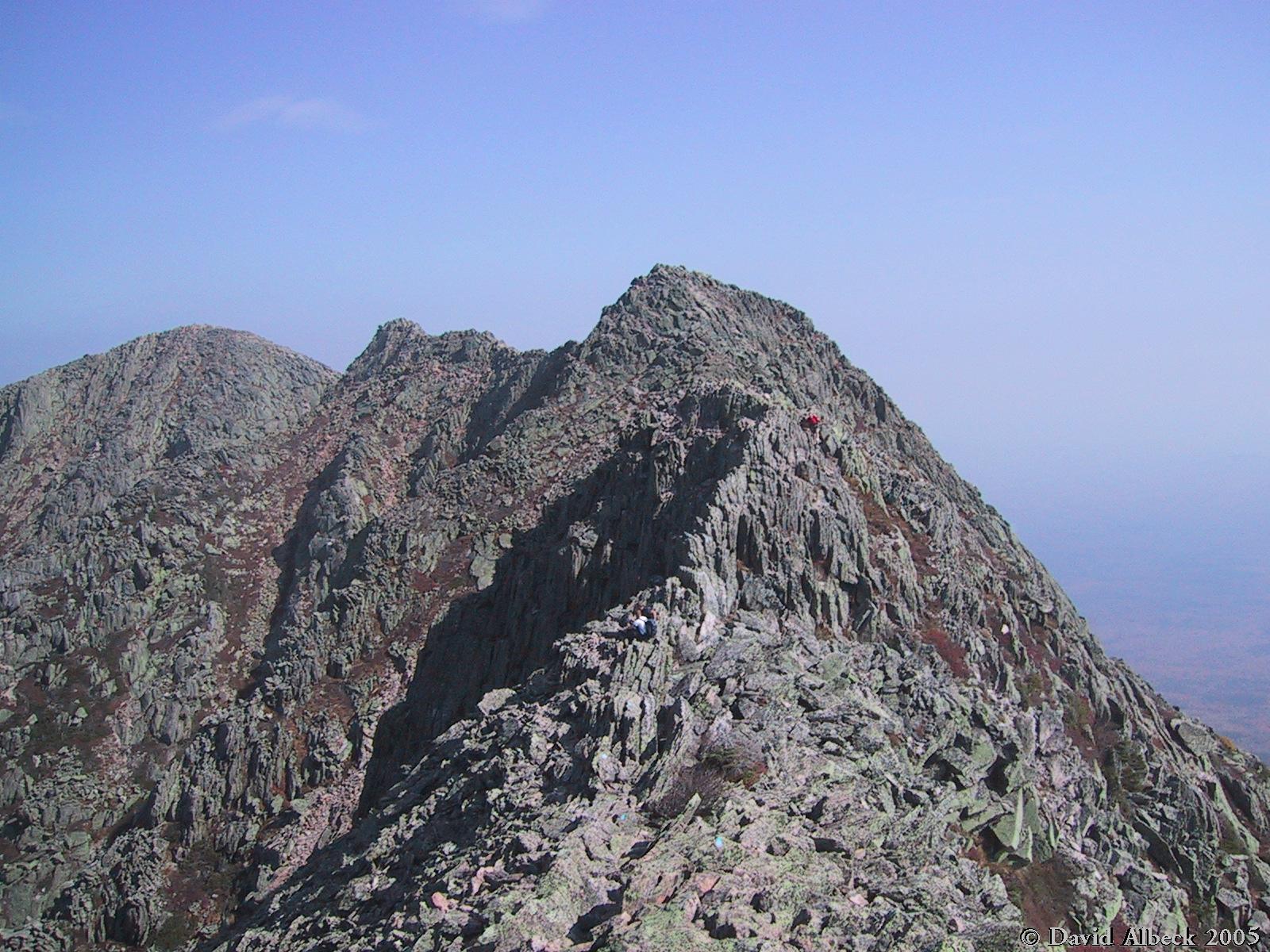
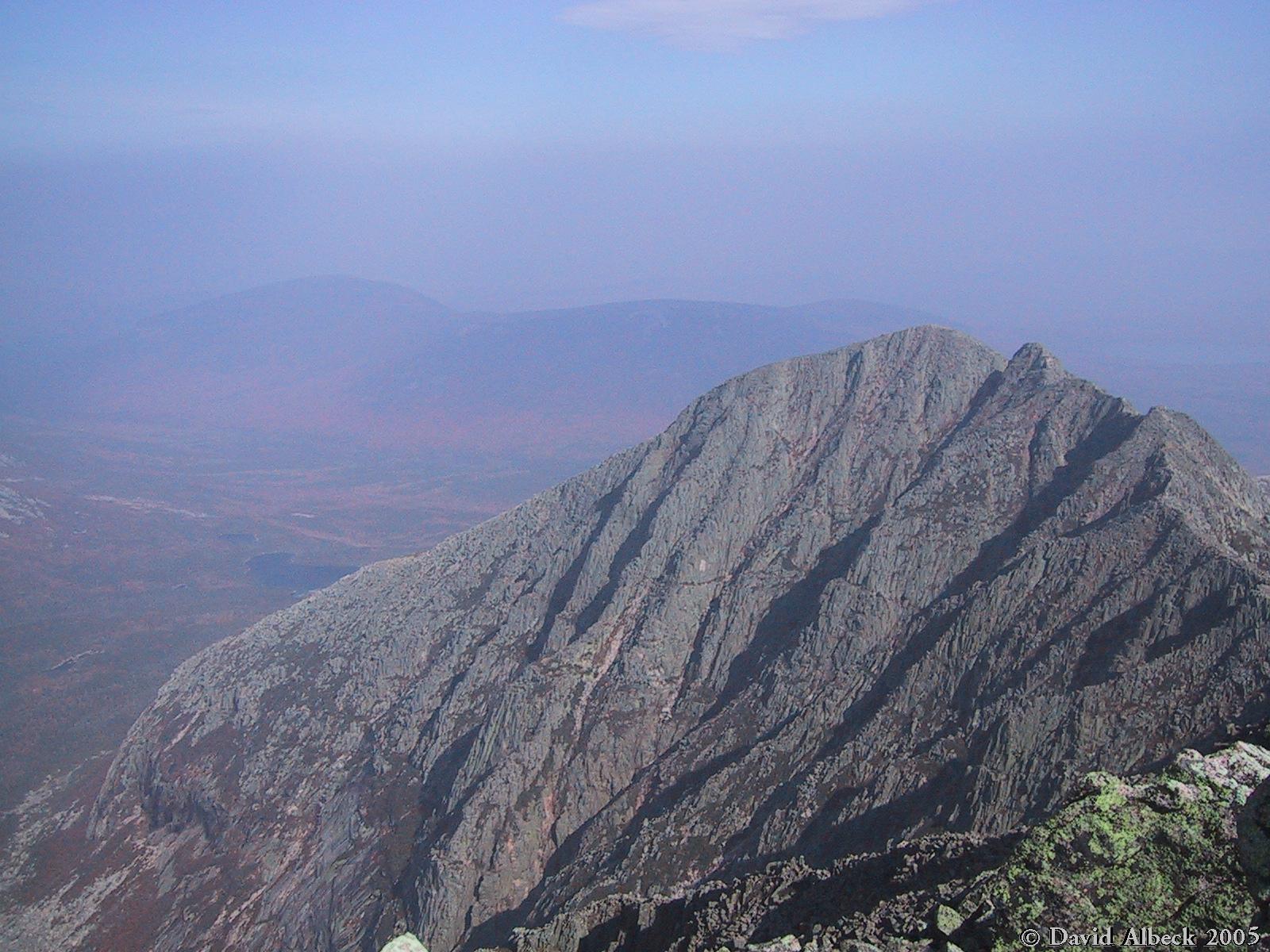
Pamola Peak. Matt is visible at the right edge as he continues to approach the seated hikers. | ||
|
|
If not for the camera strap in the way, this might have been my best shot of the series. | ||
|
|
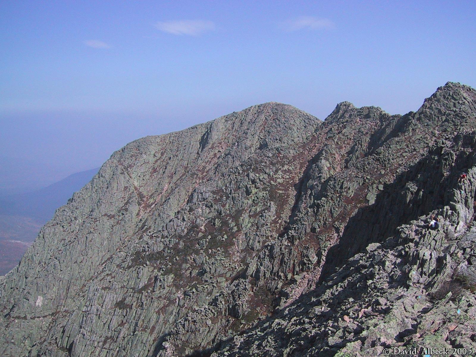
Pamola Peak from south Peak. It's interesting to compare this with a
|
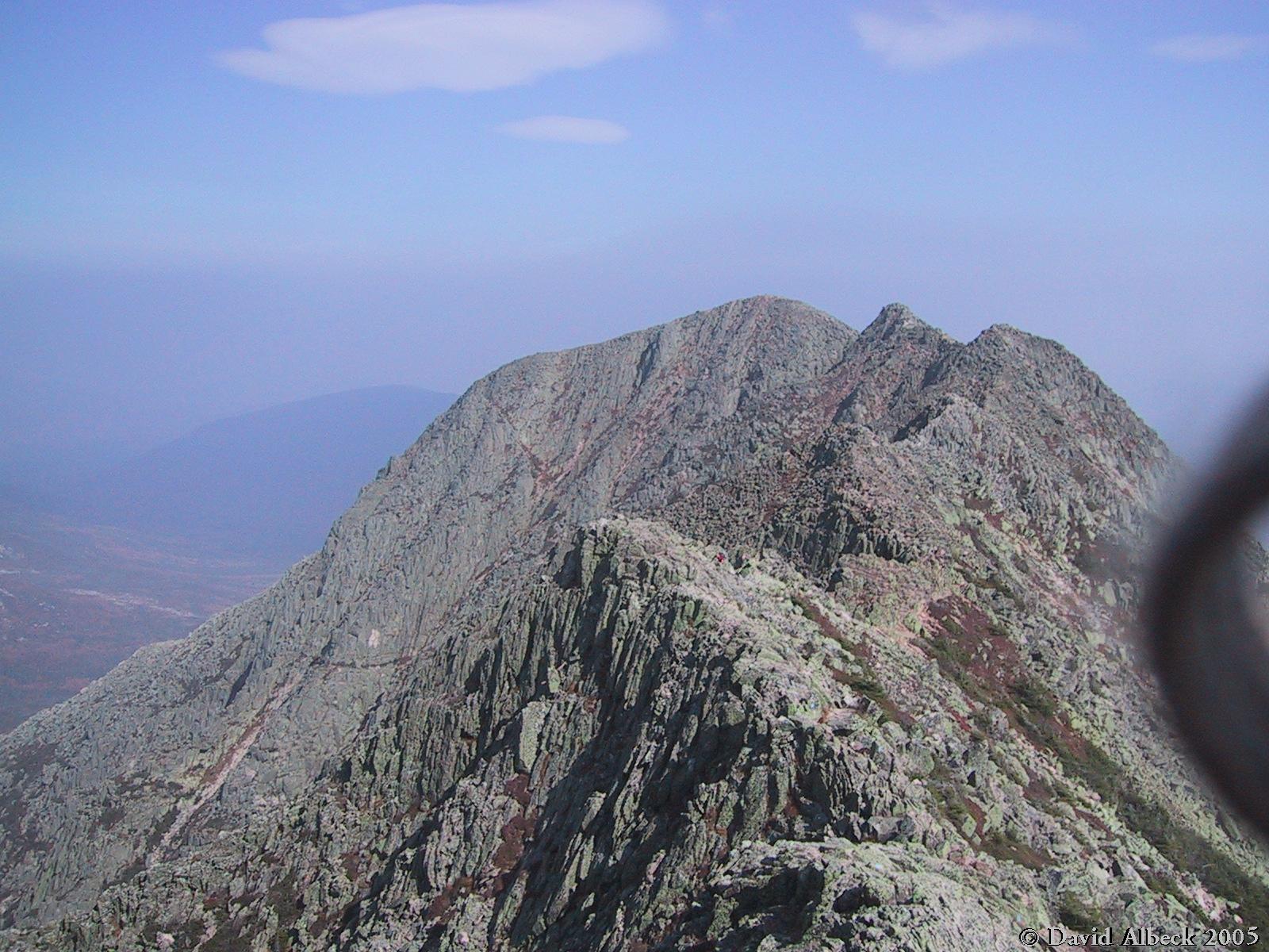
Pamola Peak seen from Baxter Peak. This shot was intentionally made as similar as
possible to
|
The Tableland west of Baxter Peak. |
|
|
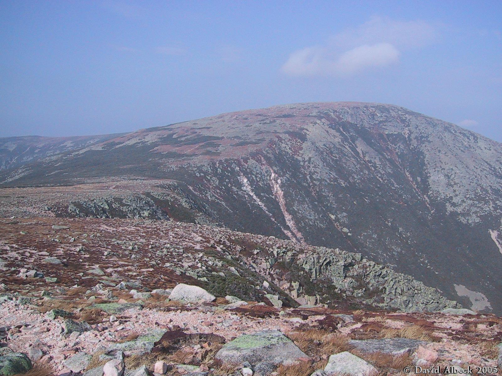
Hamlin Peak, with the Saddle in the foreground and the Northwest Plateau behind it. | ||
|
|
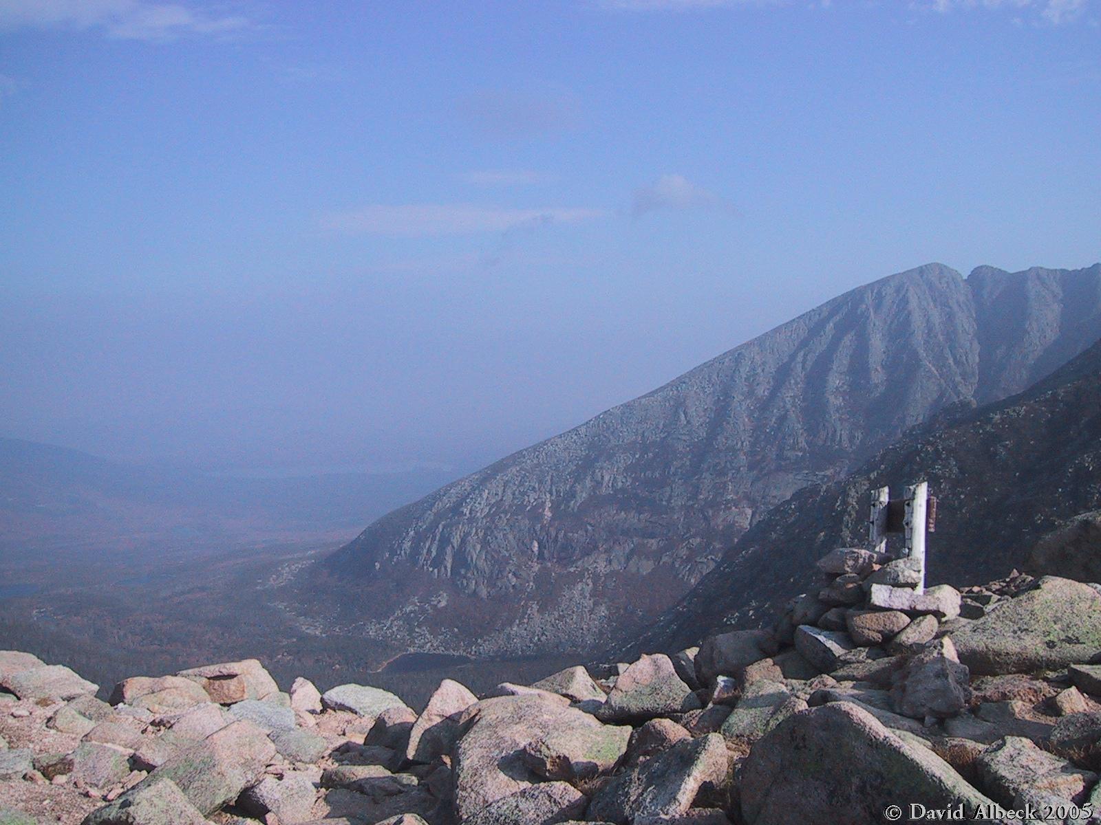
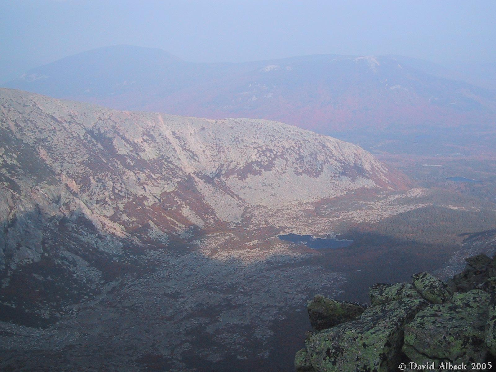
From the Saddle, looking west down the Great Basin. Pamola Peak at right with Chimney Pond at its base. | ||
|
|
Panning right to show more of the Knife Edge. Cathedral Ridge in shadows in near distance. | ||
|
|
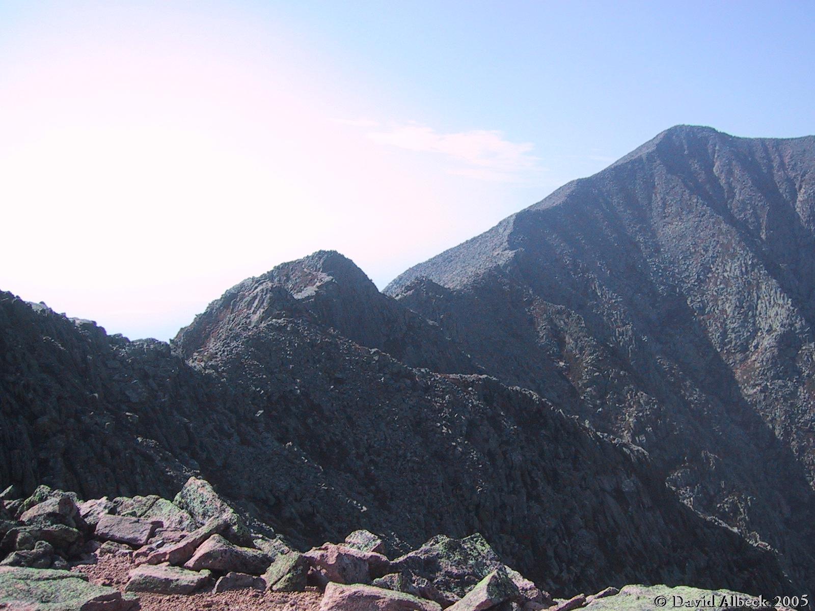
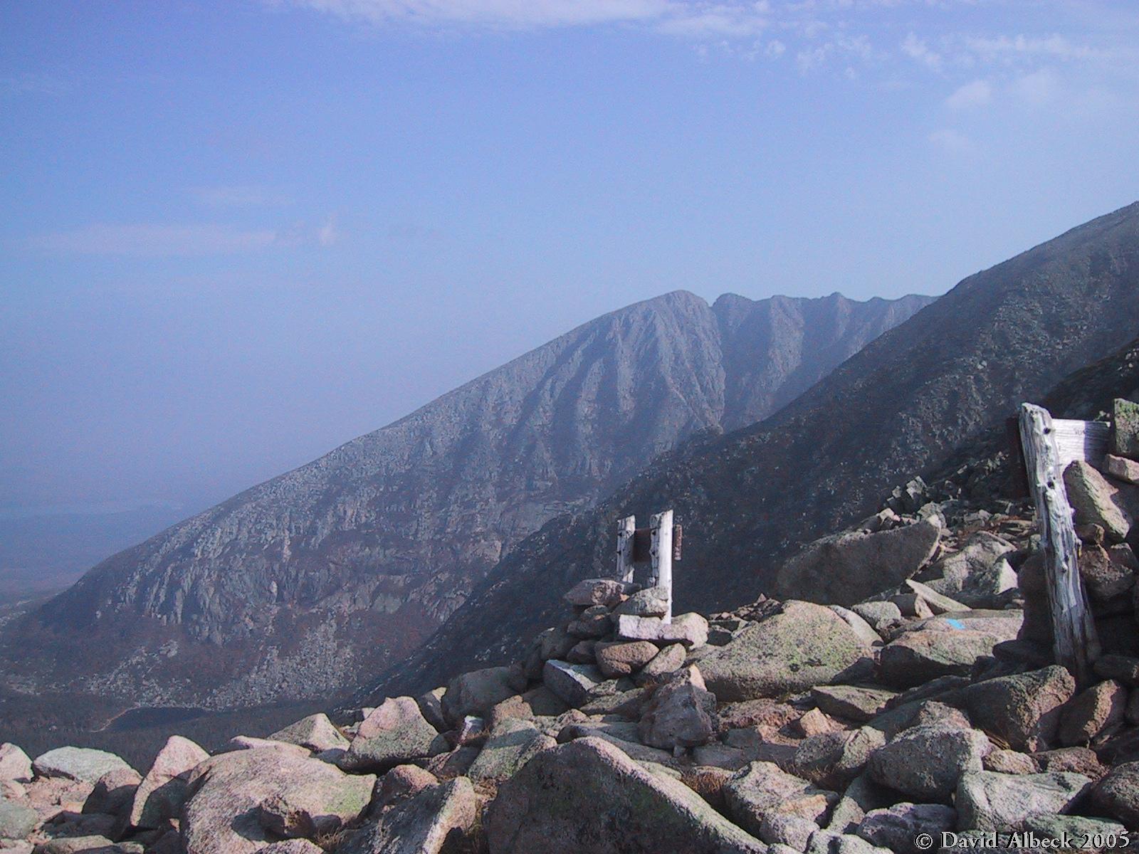
From the northern end of the Saddle, a view southeast to Pamola, the Knife Edge, and Baxter Peak. | ||
|
|
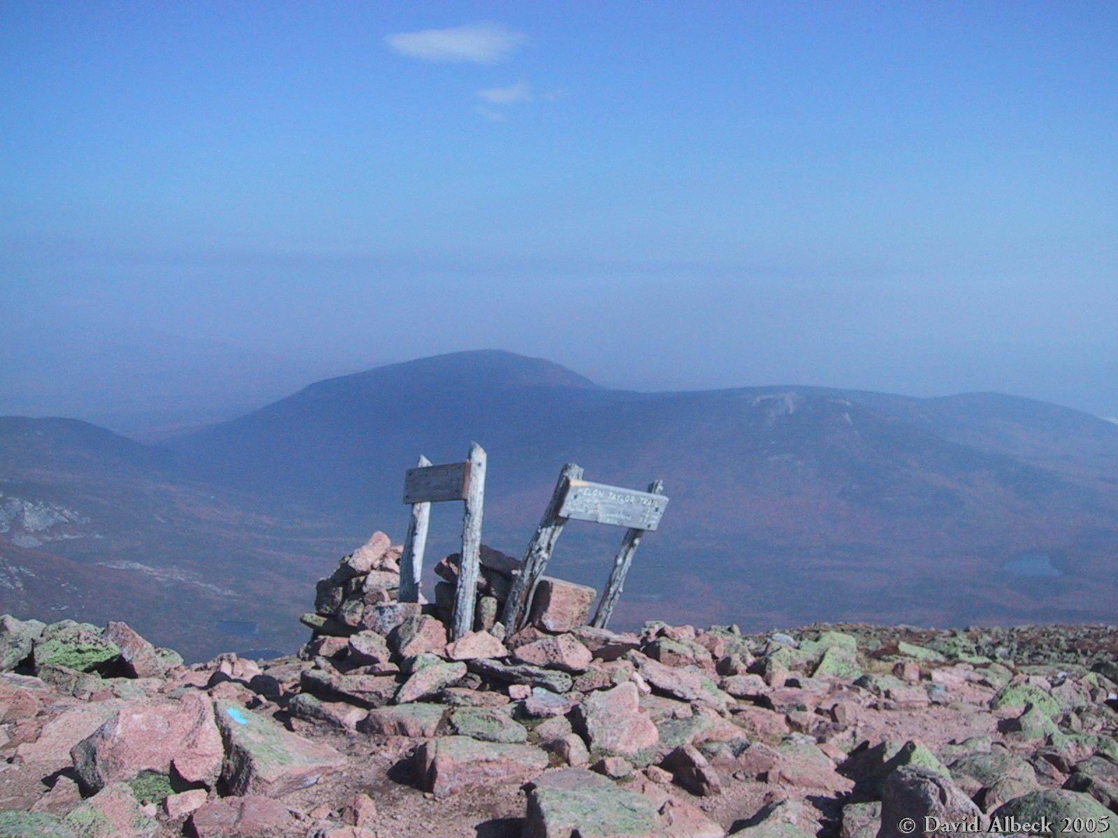
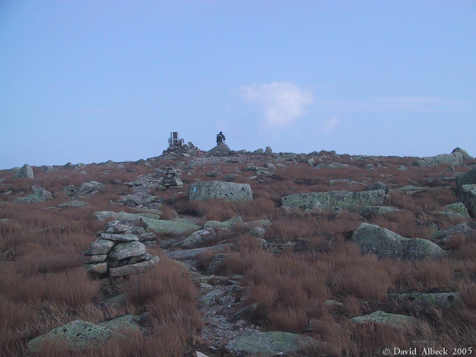
Hamlin Peak. | ||
|
|
Howe Peaks seen from Hamlin Peak. | ||
|
|
From Hamlin Peak, the North Peaks Trail leads to the Howe Peaks, the highest and westernmost of which is visible in this photo. | ||
|
|
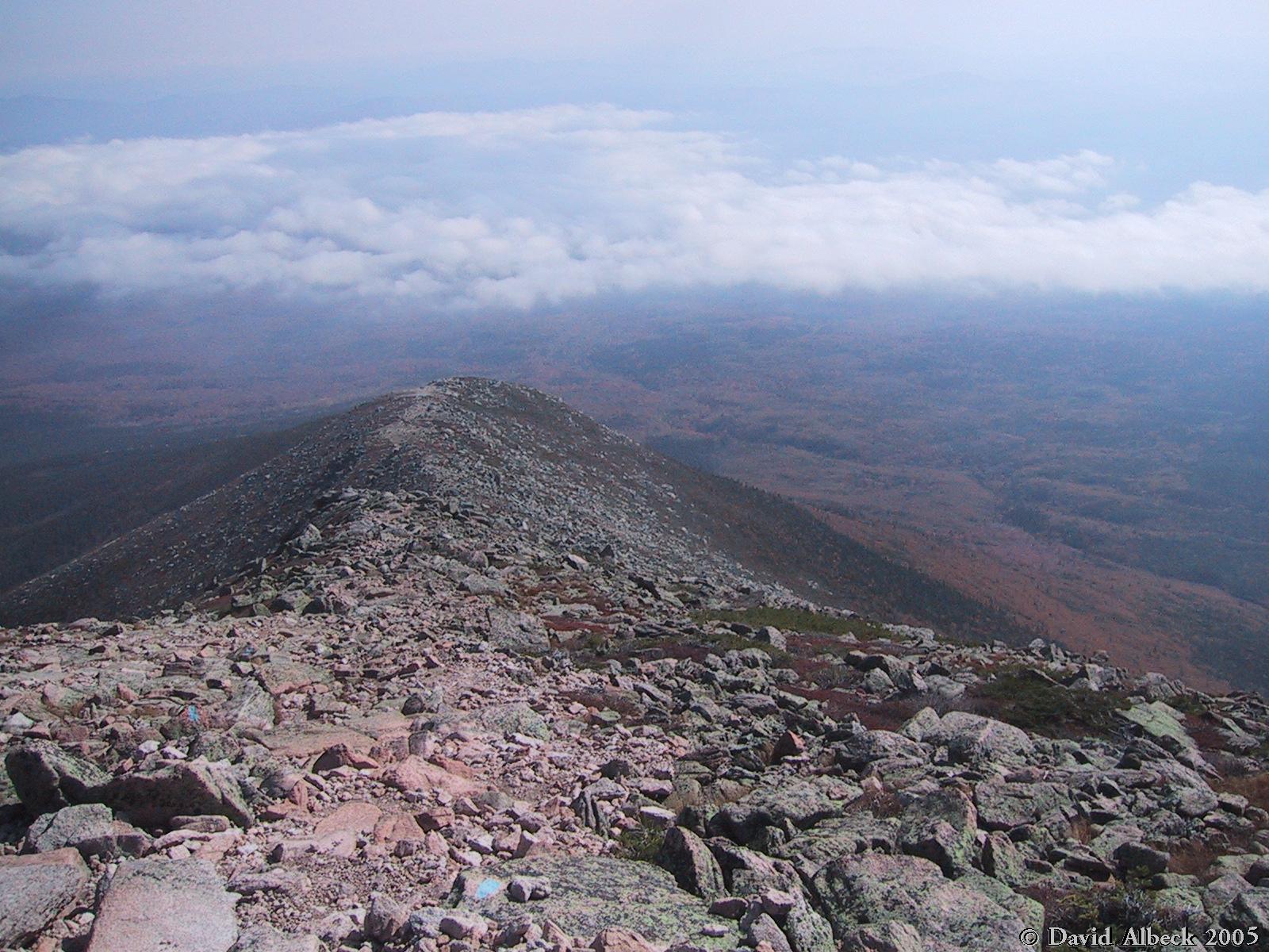
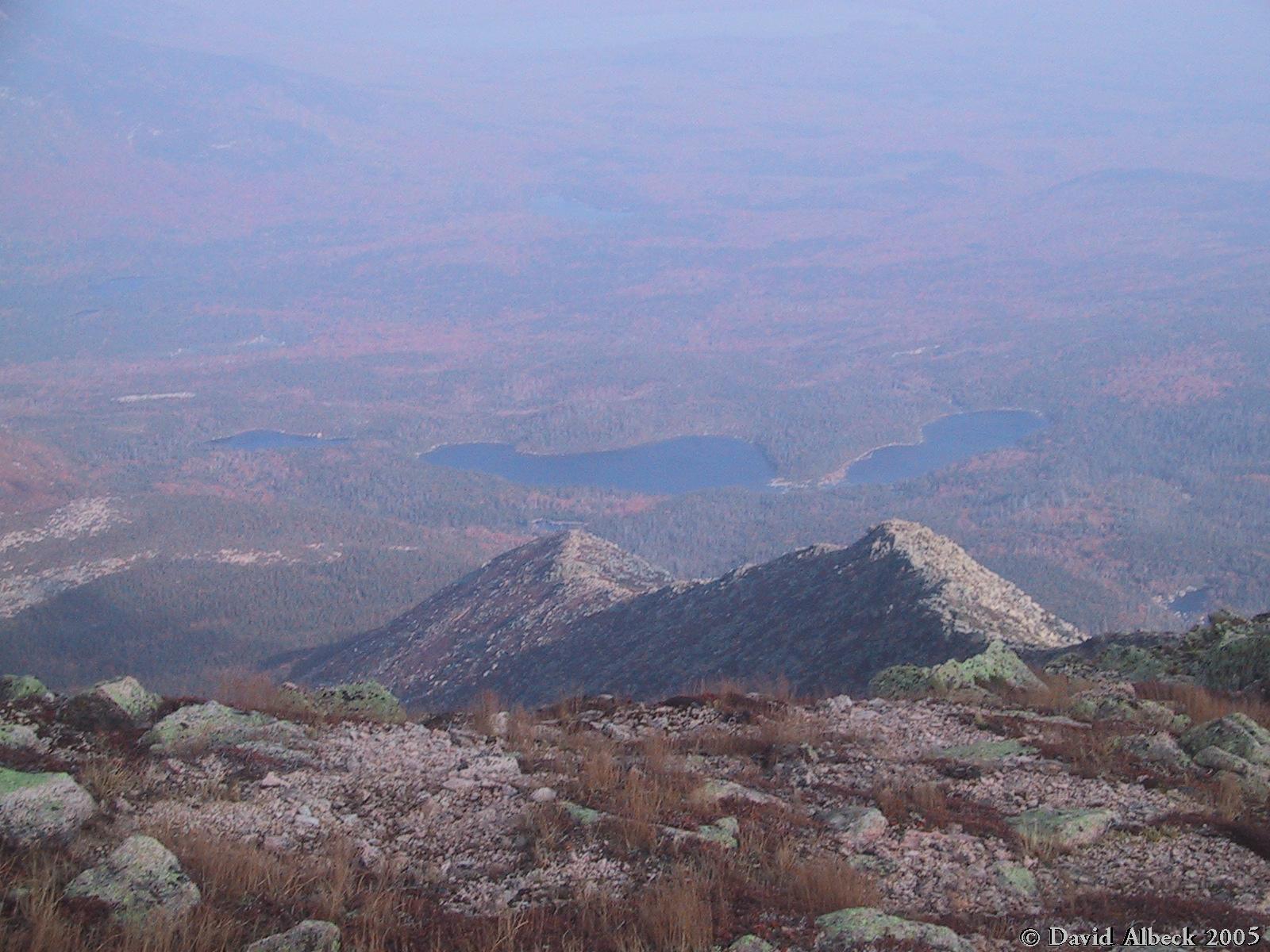
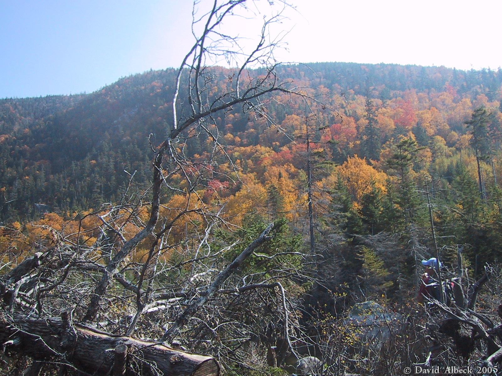
From the top of Hamlin Ridge, a view down into the North Basin and across to Turner Mountain. | ||
|
|
Hamlin Ridge from above. | ||
|
|
The north side of the North Basin. Looks like some interesting rock climbing... | ||
|
|
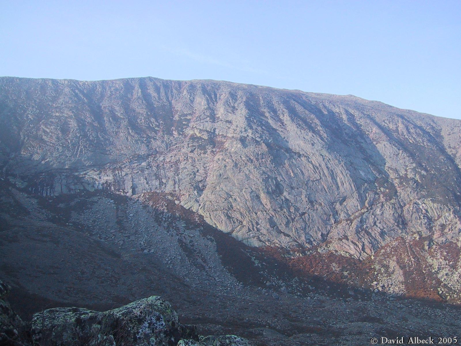
Hamlin Peak rises above the shadow of Baxter Peak as seen from Lower Basin Pond. | ||
|
|
South Turner Mountain from the Chimney Pond Trail, not far from the Roaring Brook trailhead. |
|
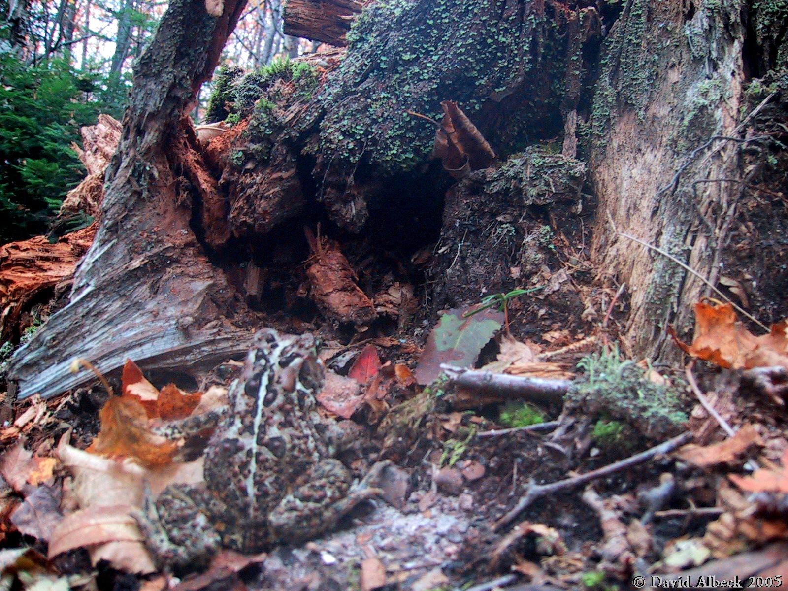
I couldn't get my camera to focus quite close enough, but I think this shot still manages to capture this colorful yet camouflaged forest denizen. | |
|
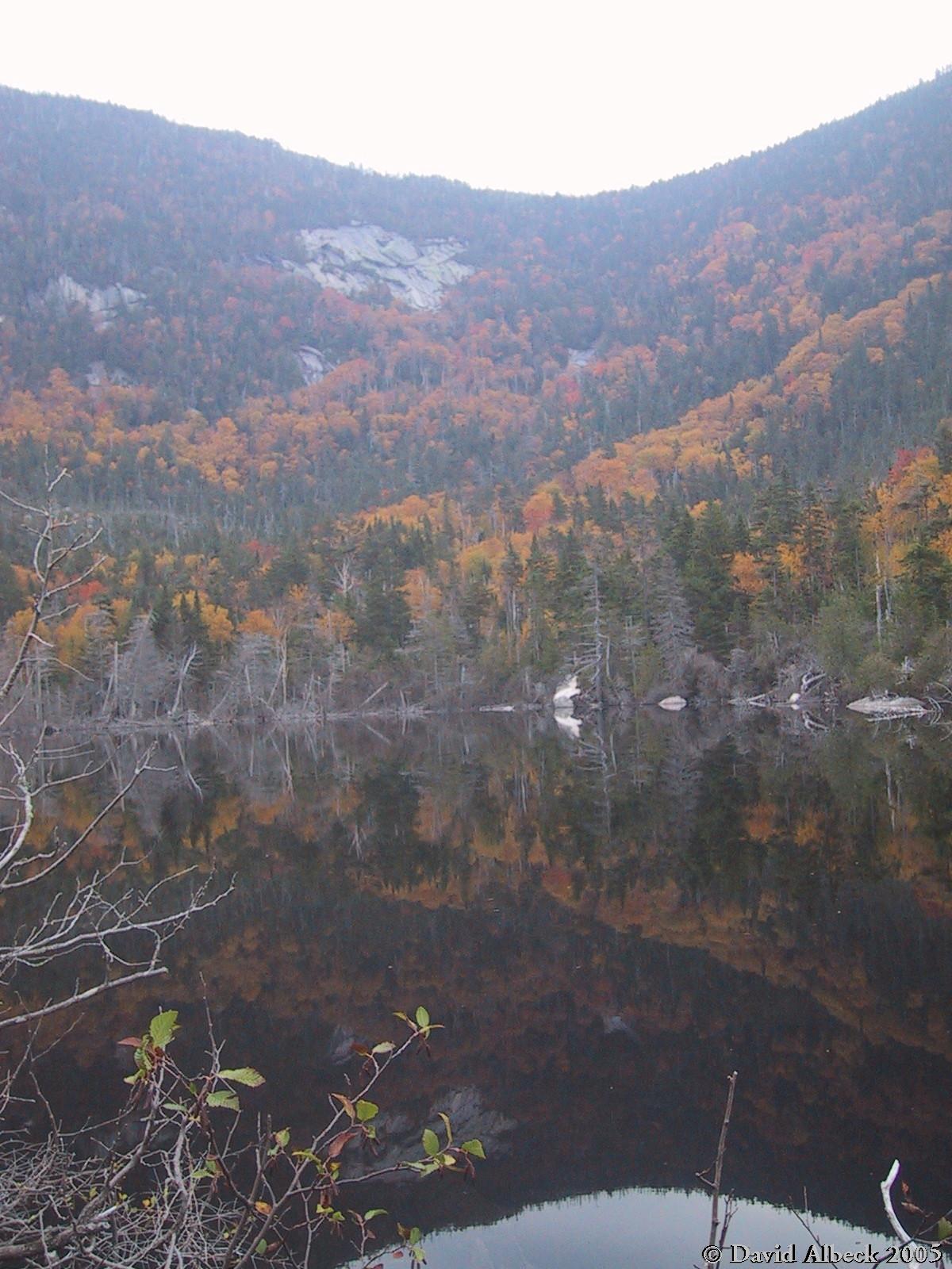
Small Pond. | |
|
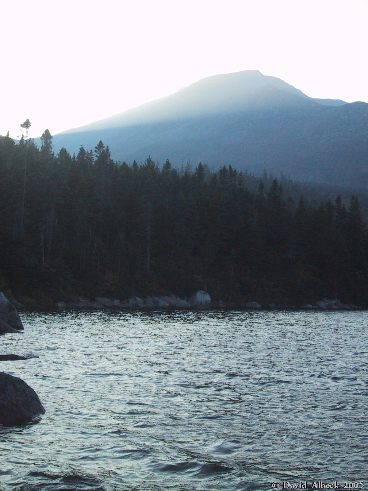
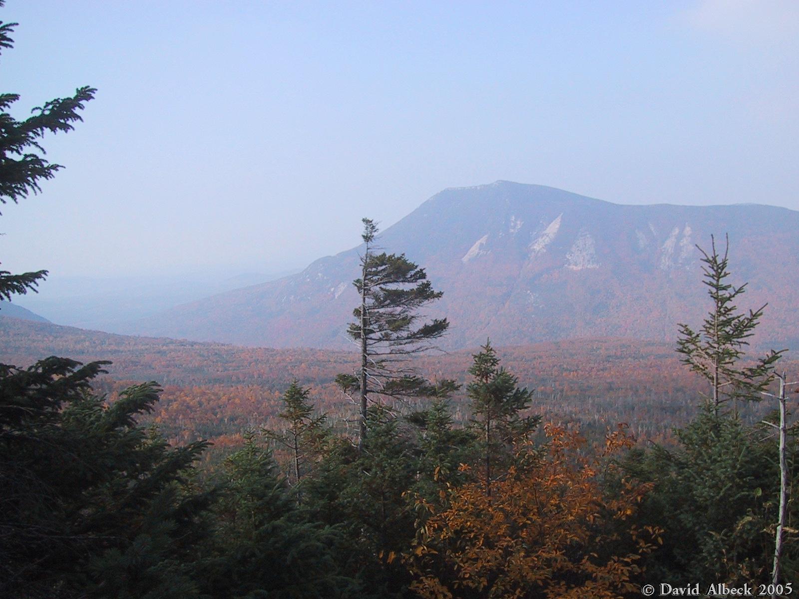
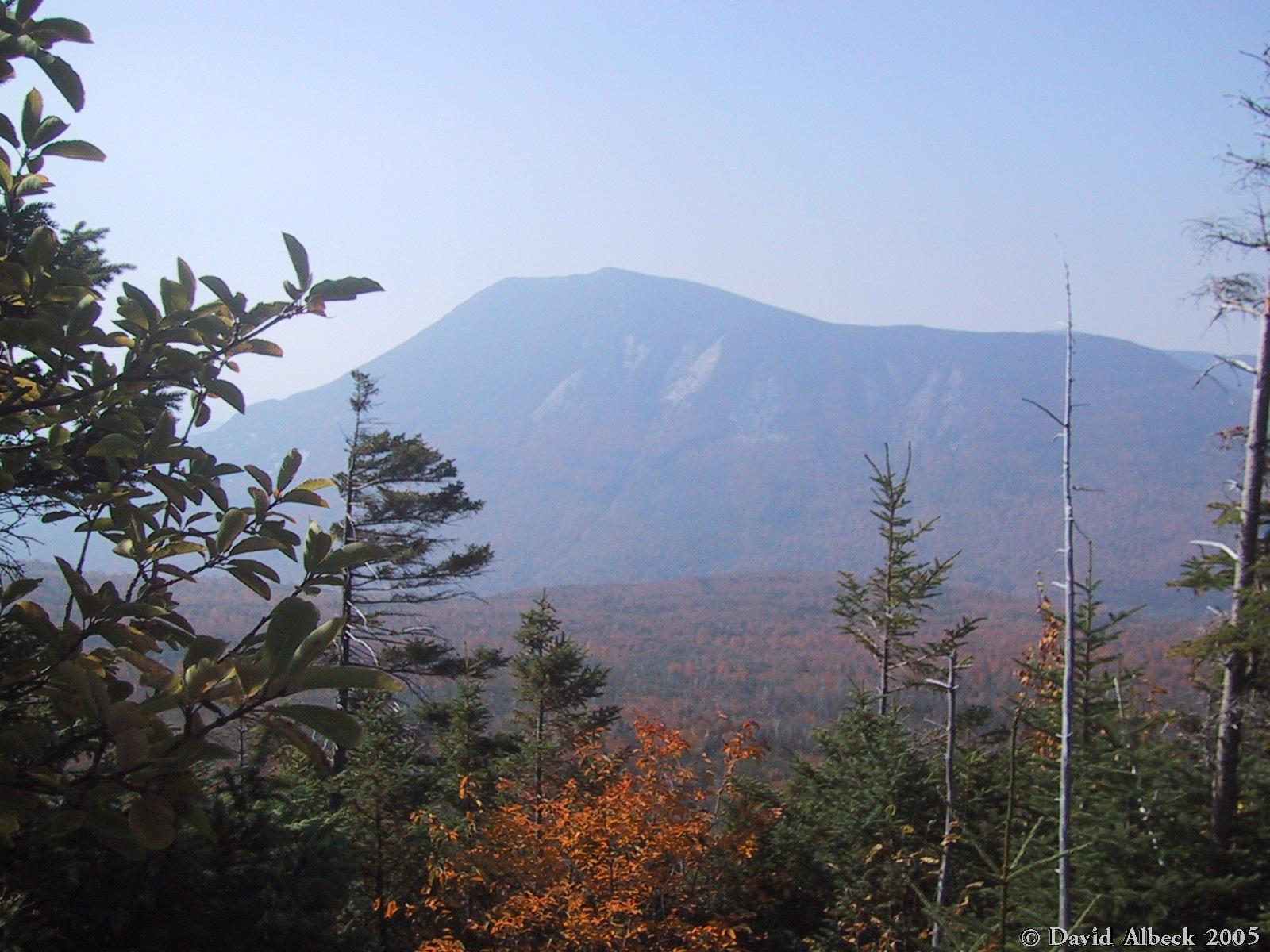
Doubletop Mountain in the morning mist. Compare with
|
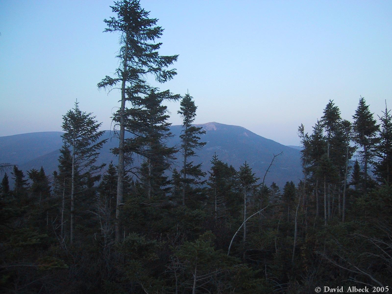
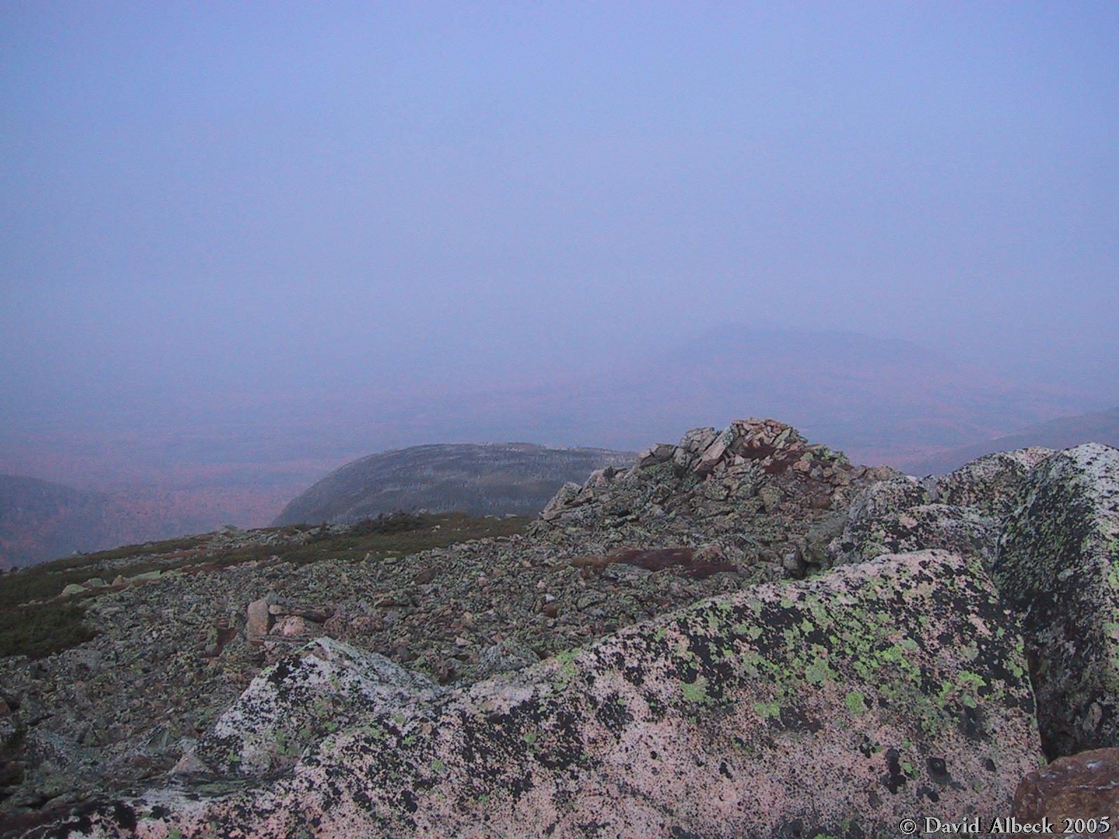
Fort Mountain seen from the summit of North Brother. |

|
South Brother (right) and Mt Coe seen from North Brother. | |
|
A view northward from North Brother. | |
|
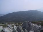
On the return trip, another view of Doubletop. | |
|
Fall colors by Small Pond. | |
|
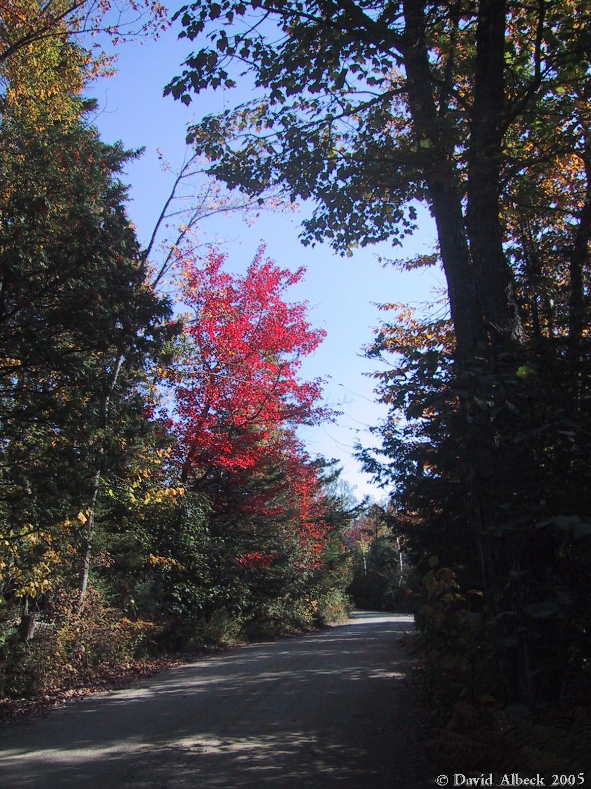
Foliage along the Tote Road. | |
|
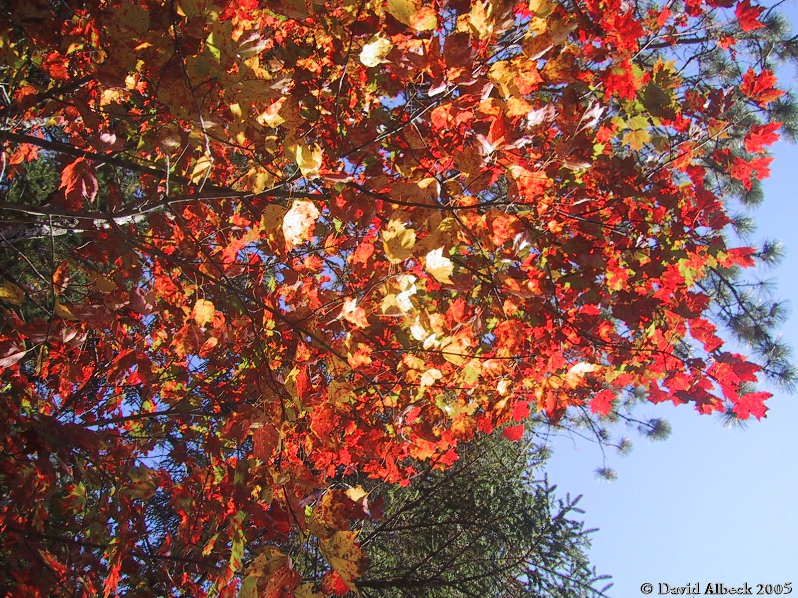
More foliage. | |
|
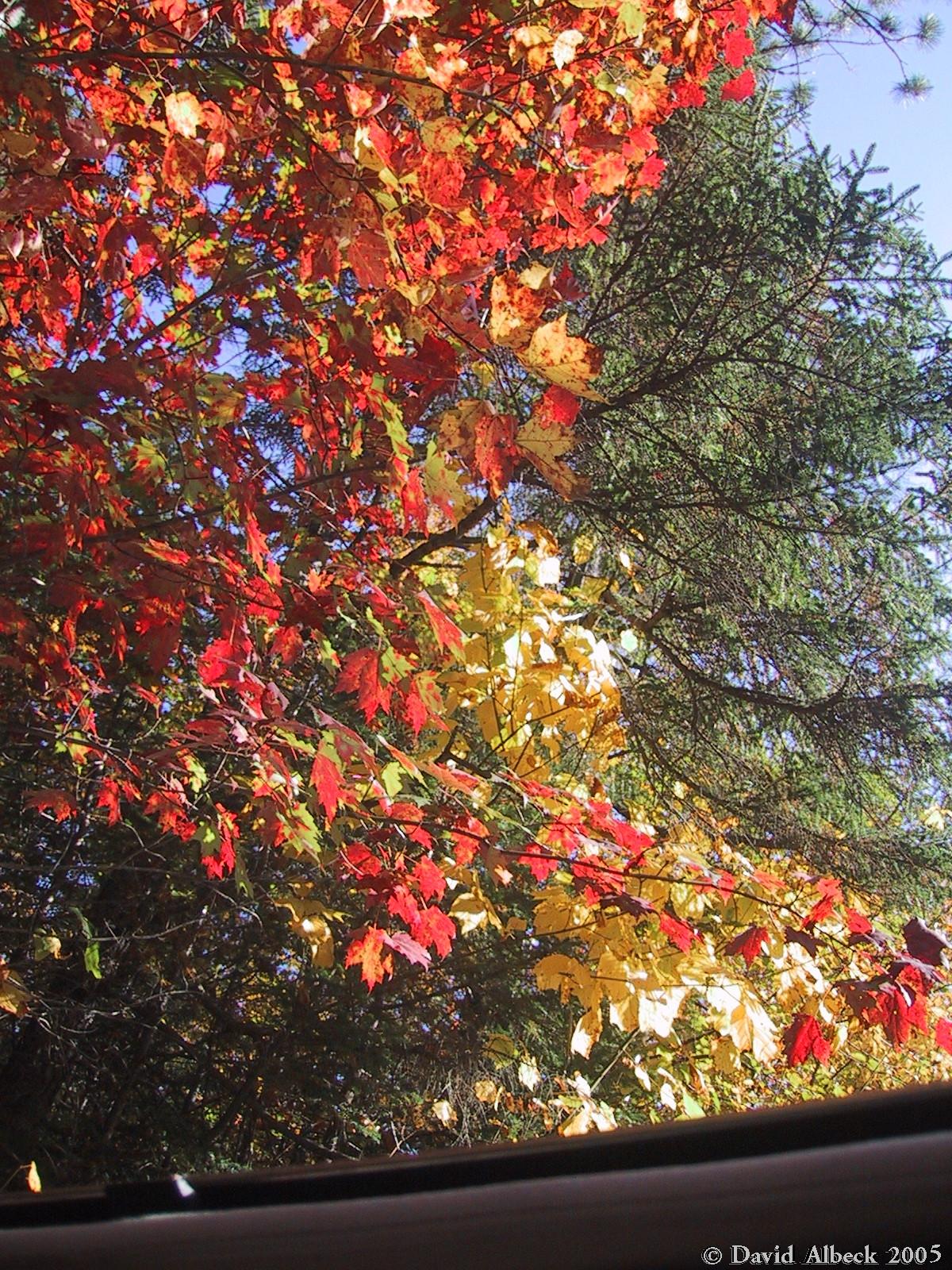
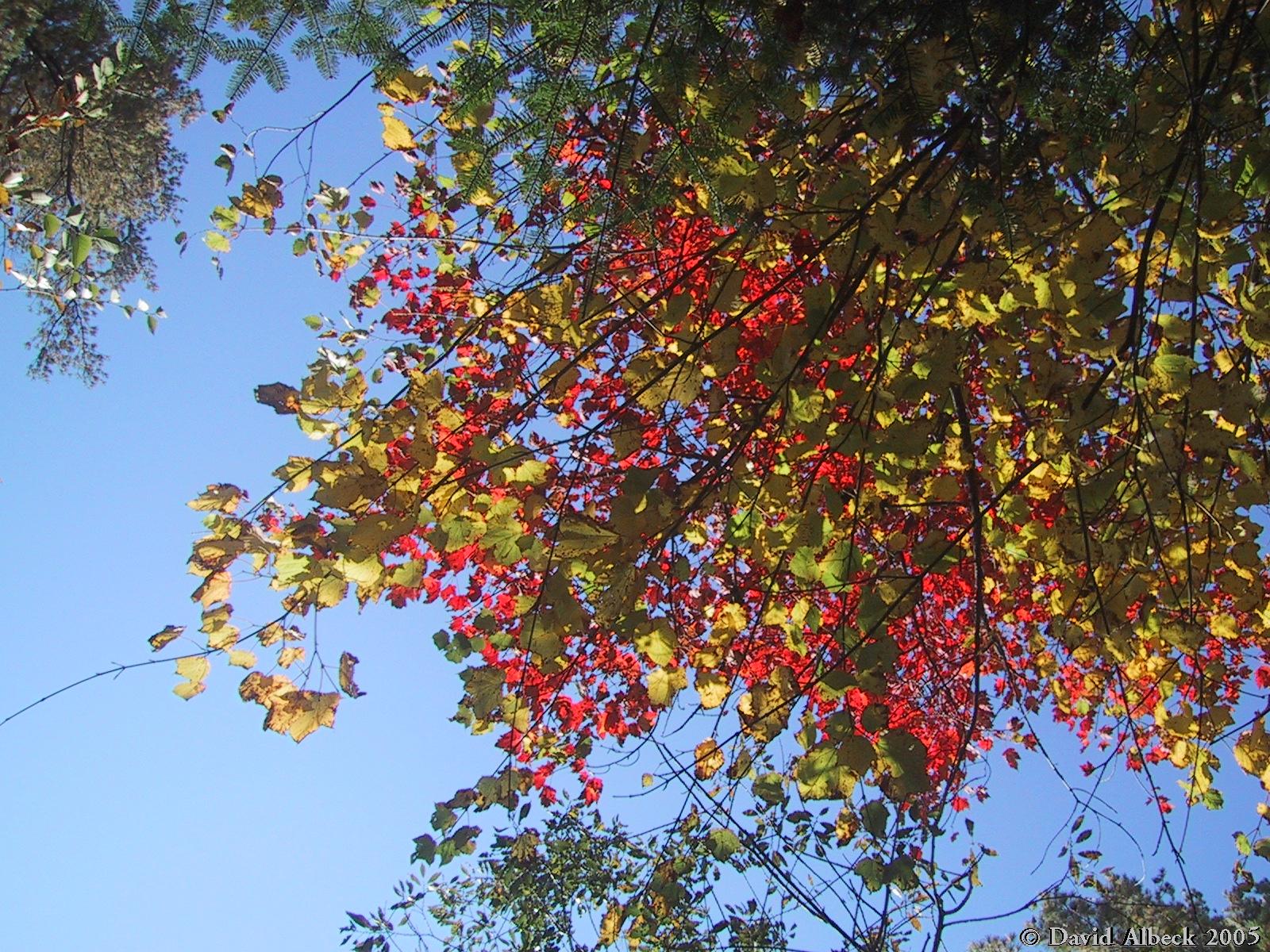
Foliage shots taken from the car, without stopping - through the sunroof. | |
|
Farewell, fall foliage. |