
Photos are organized by date, with a bit of narrative for each day.
Parked at the Lincoln Woods trailhead on the Kancamagus, hiked up the Osseo Trail to Mt Flume, then along the Franconia Ridge Trail to Mt Liberty before descending part of the Liberty Spring Trail to the Liberty Spring campsite.
|
|
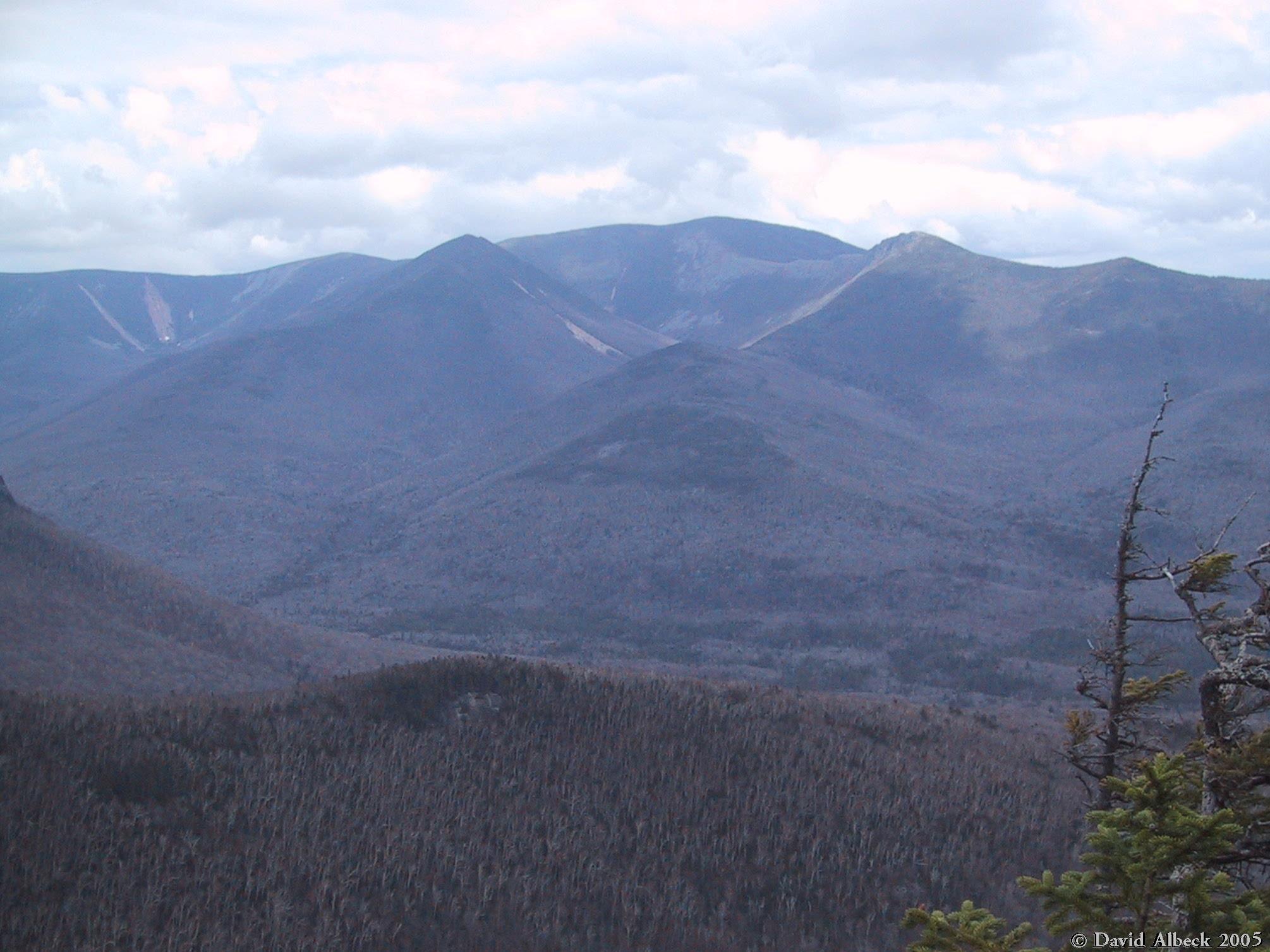
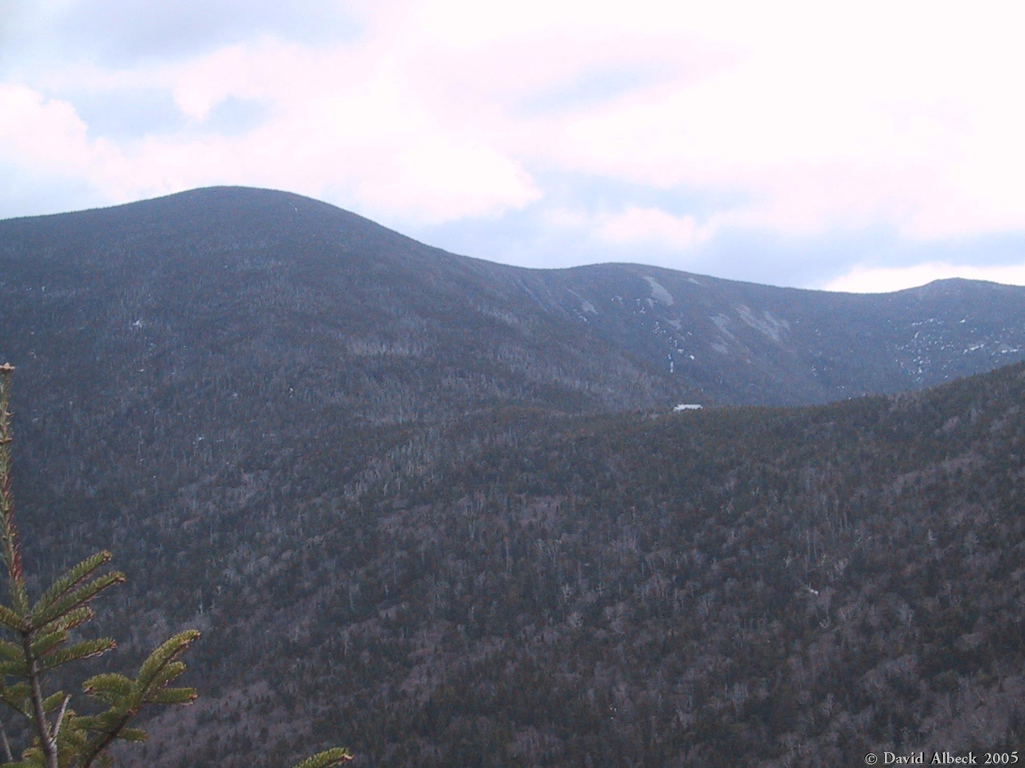
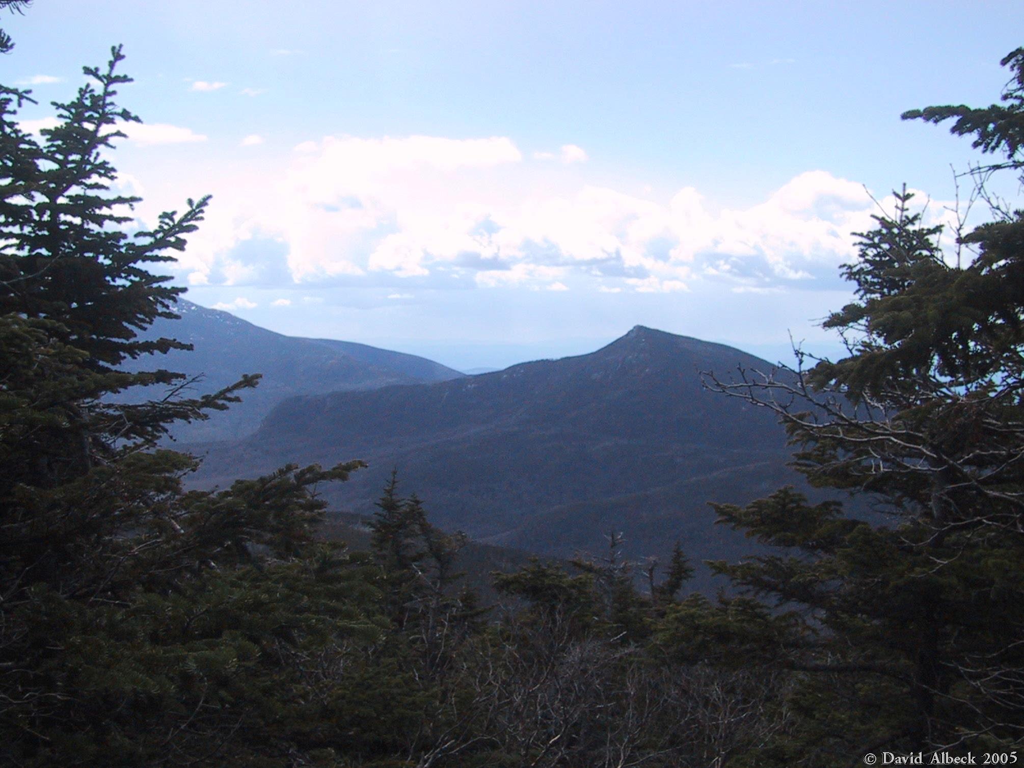
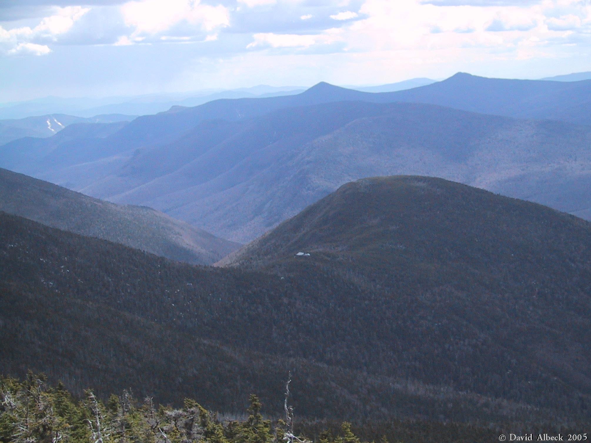
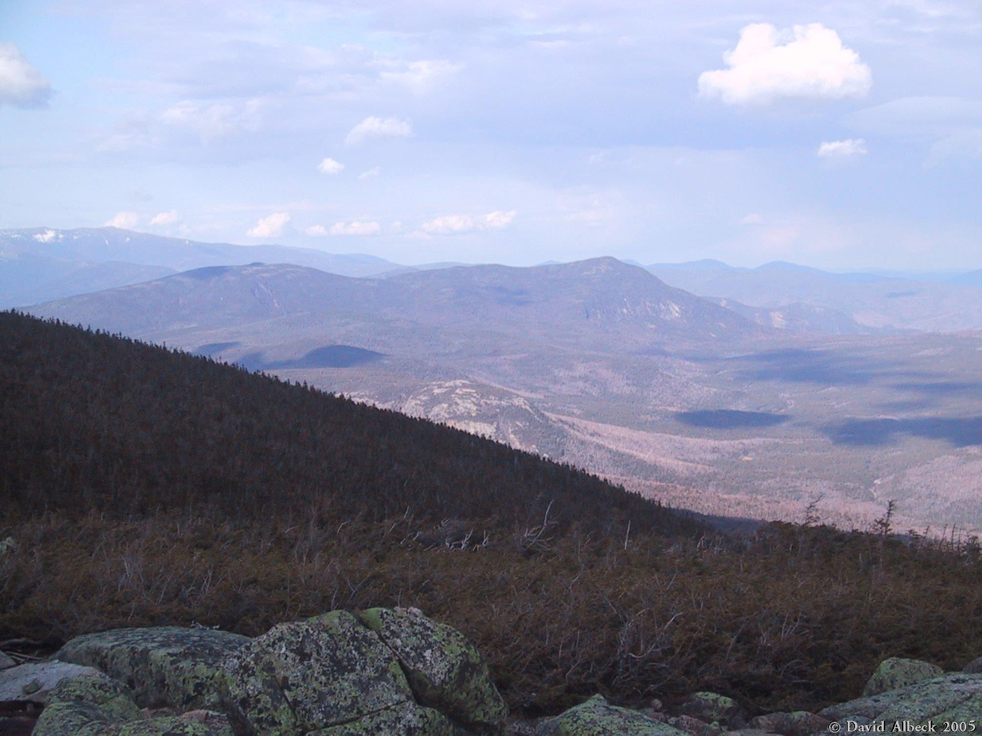
The first view from the Osseo Trail: east to Mt Bond (which will be our last mountain of this trip). |
|
|
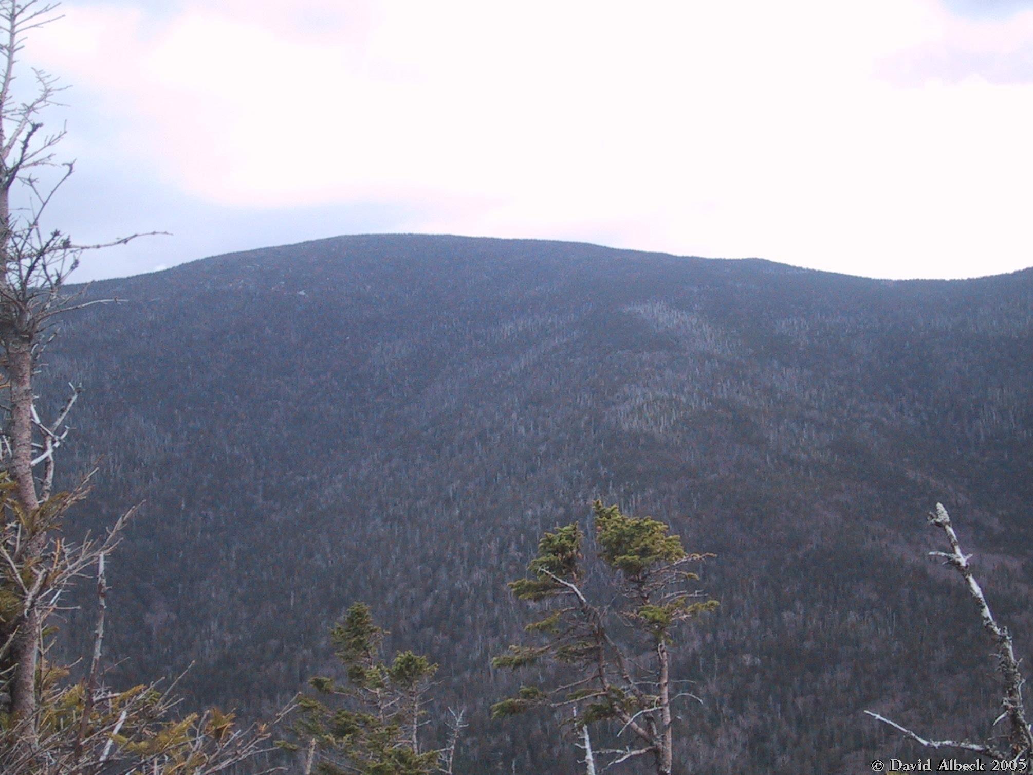
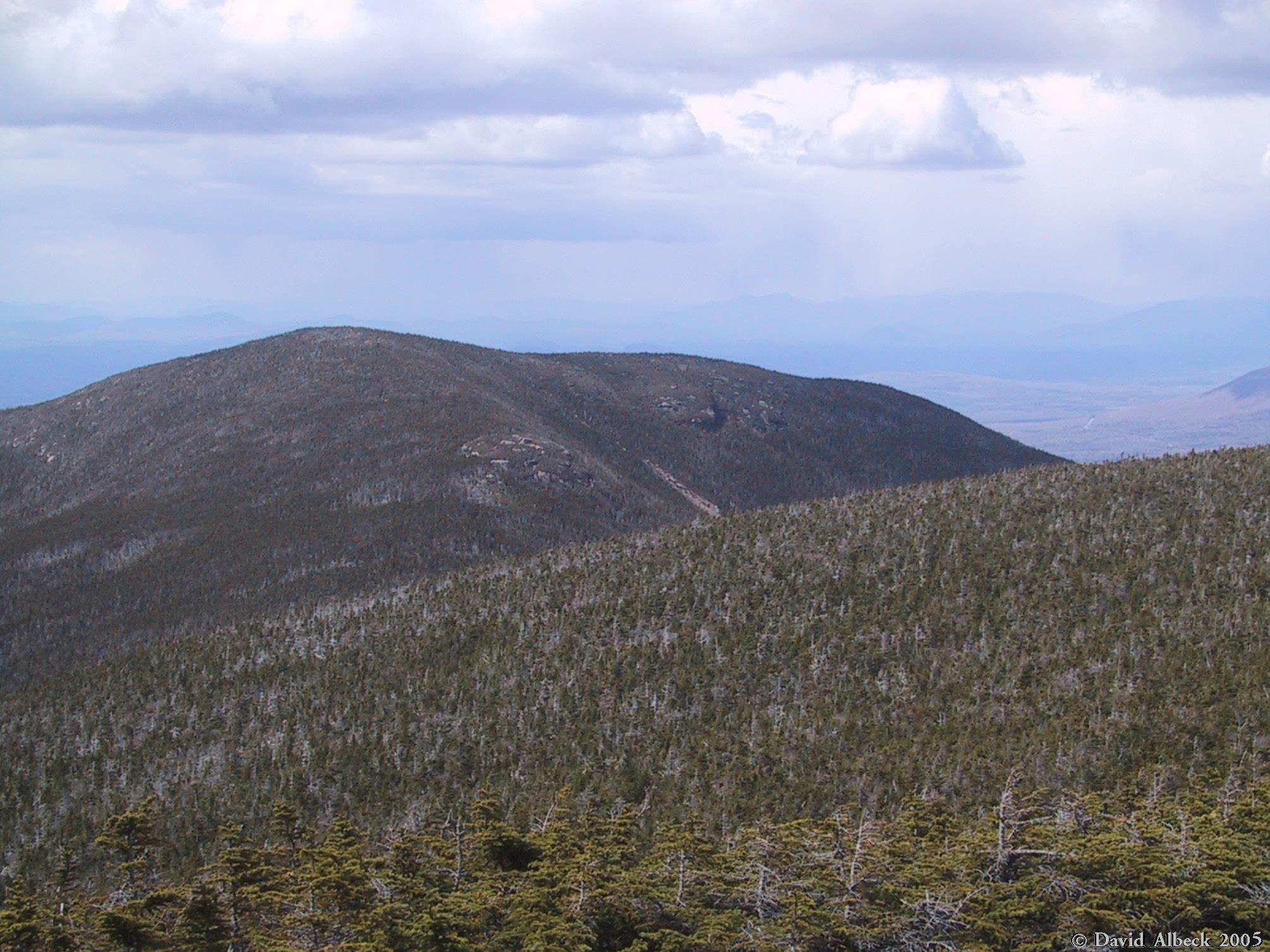
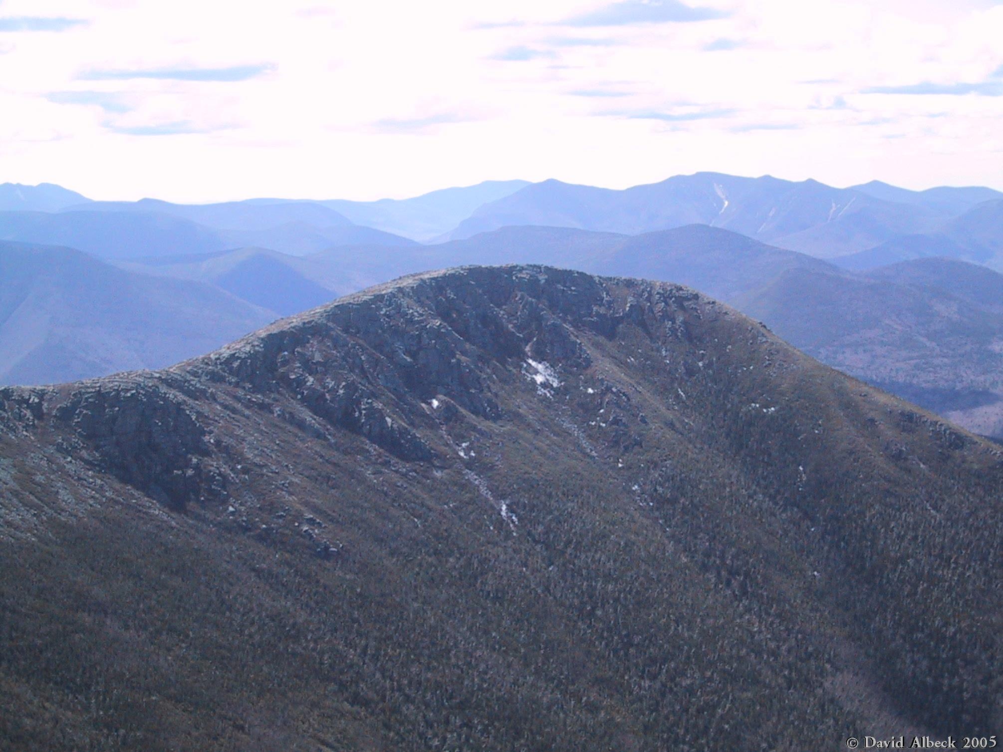
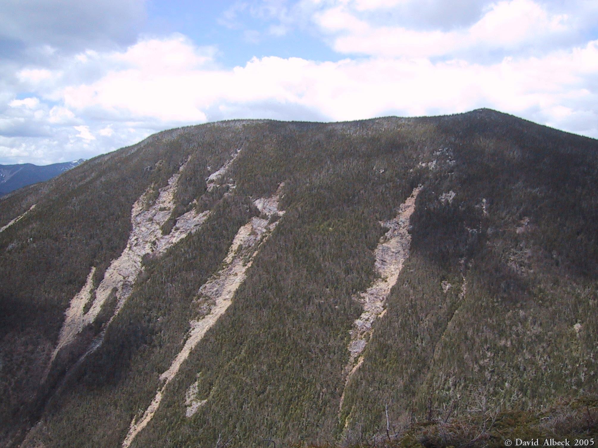
Owl Head (middle distance) has an interesting shape, but it doesn't look like an owl to me. |
|
|
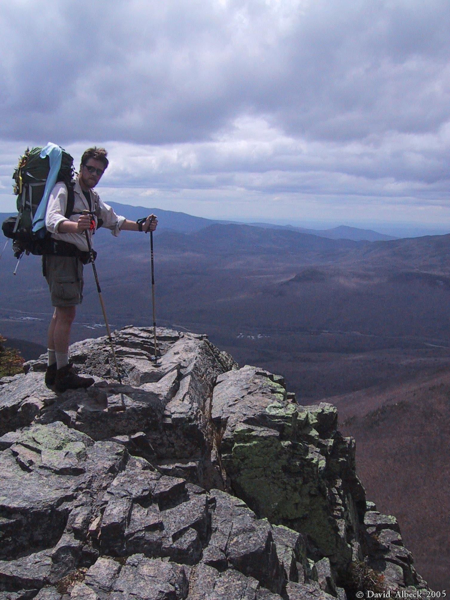
McRat poses on the ledge just below the summit of Mt Flume. |
|
|
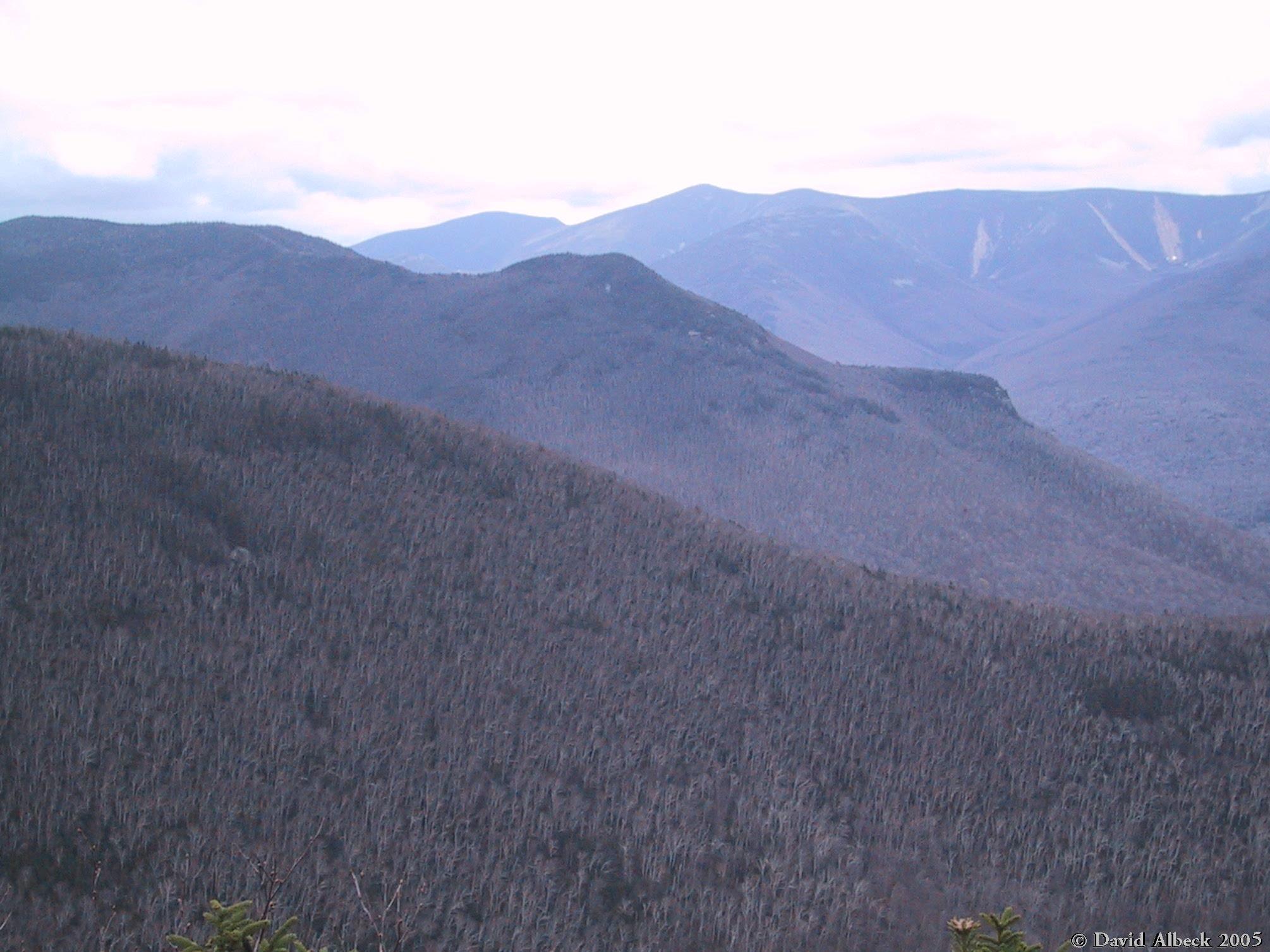
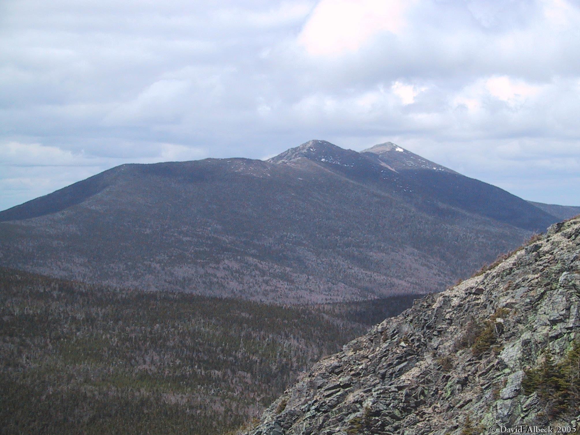
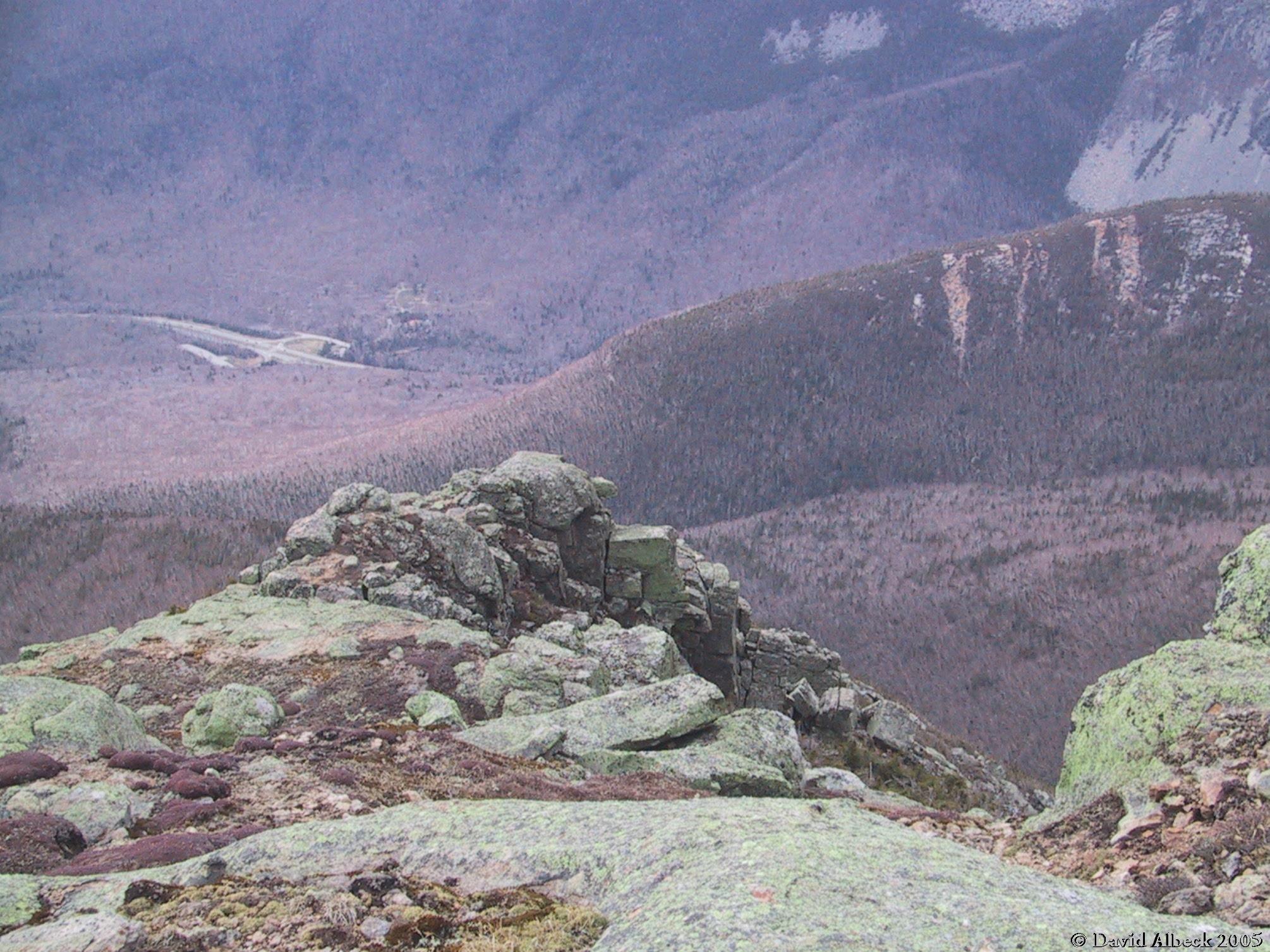
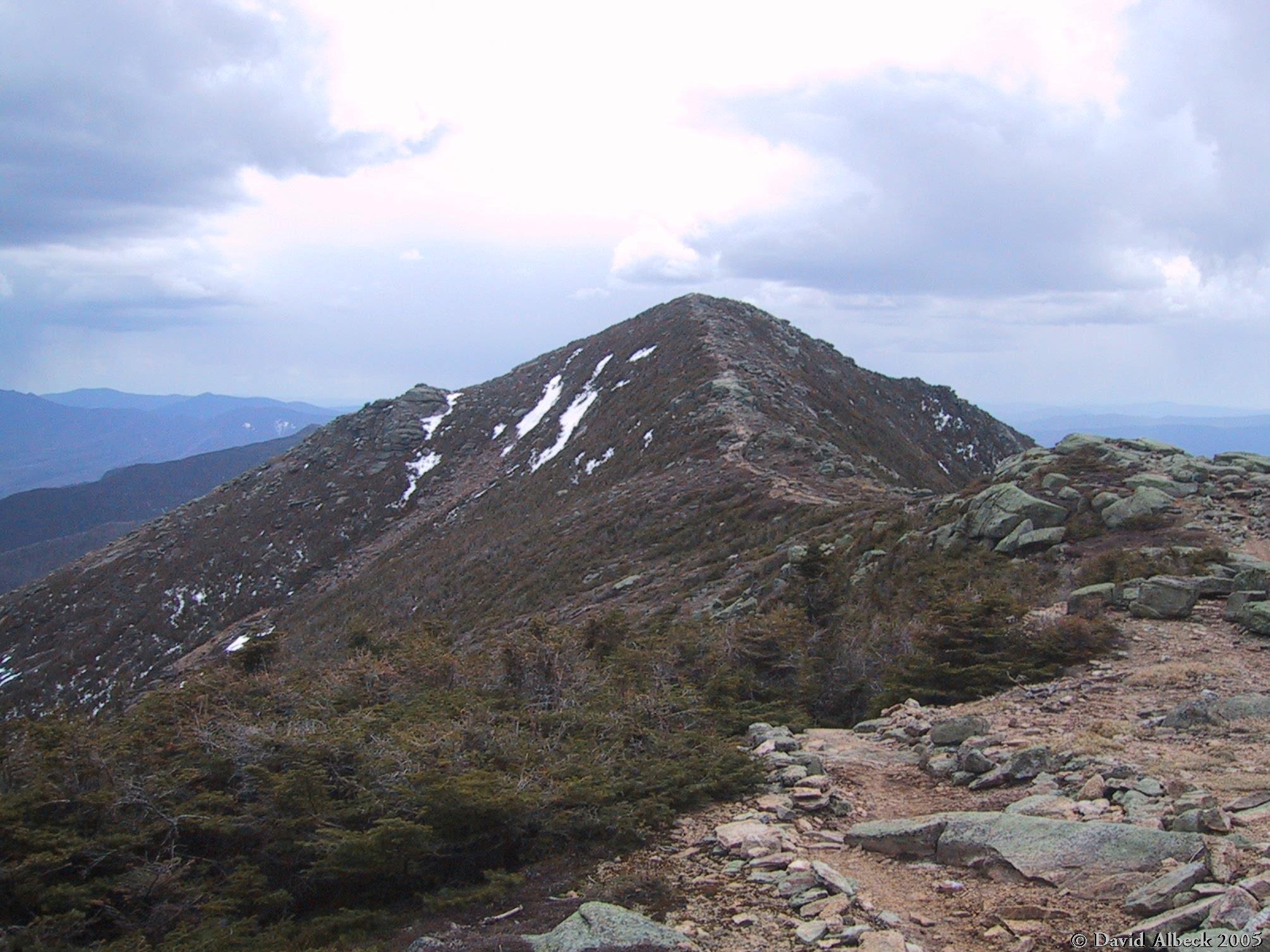
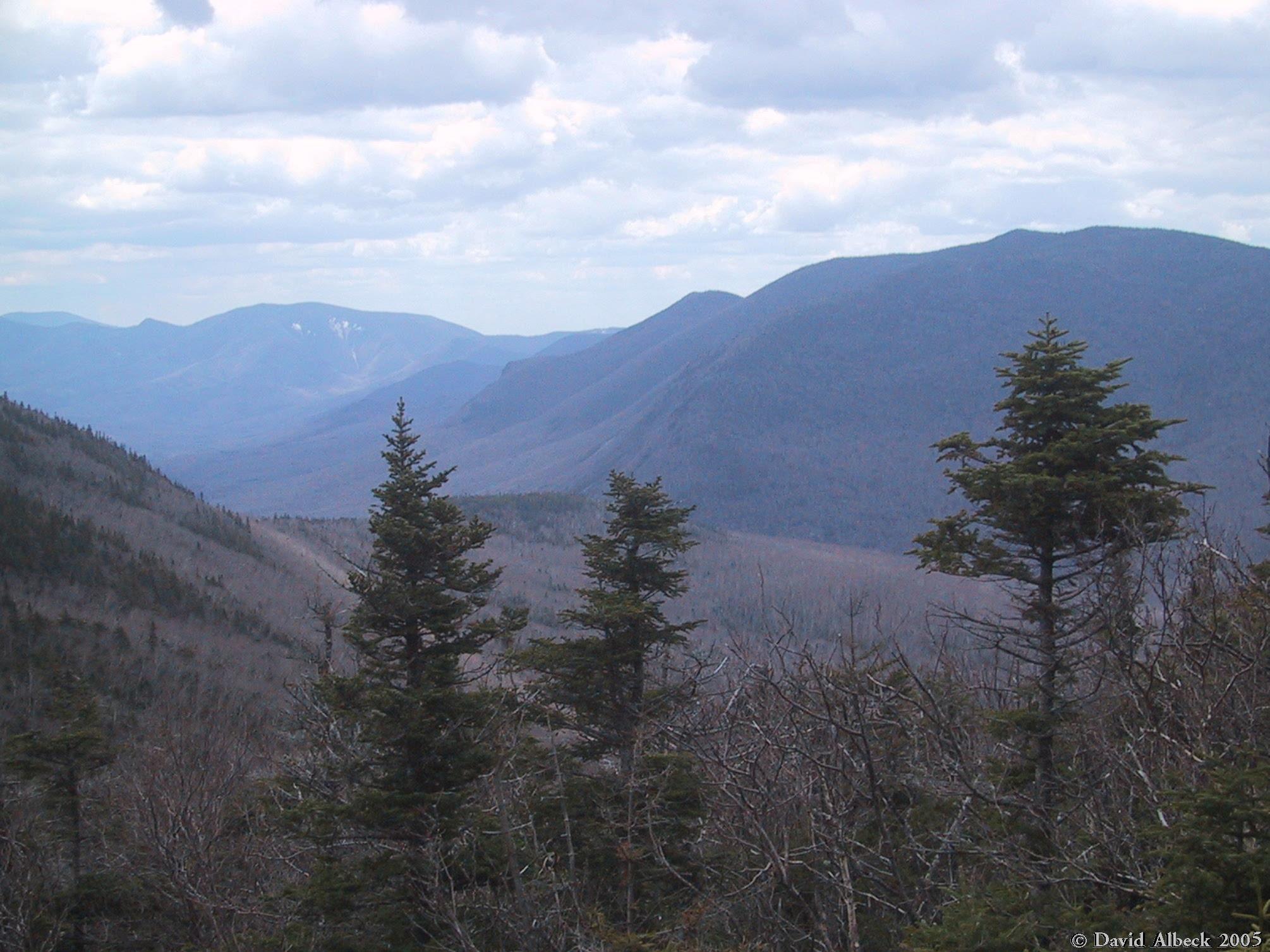
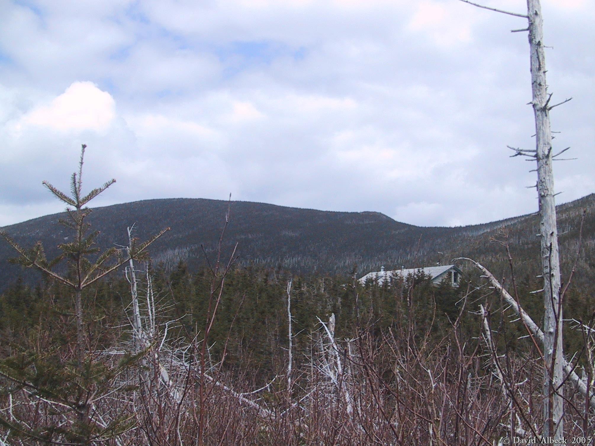
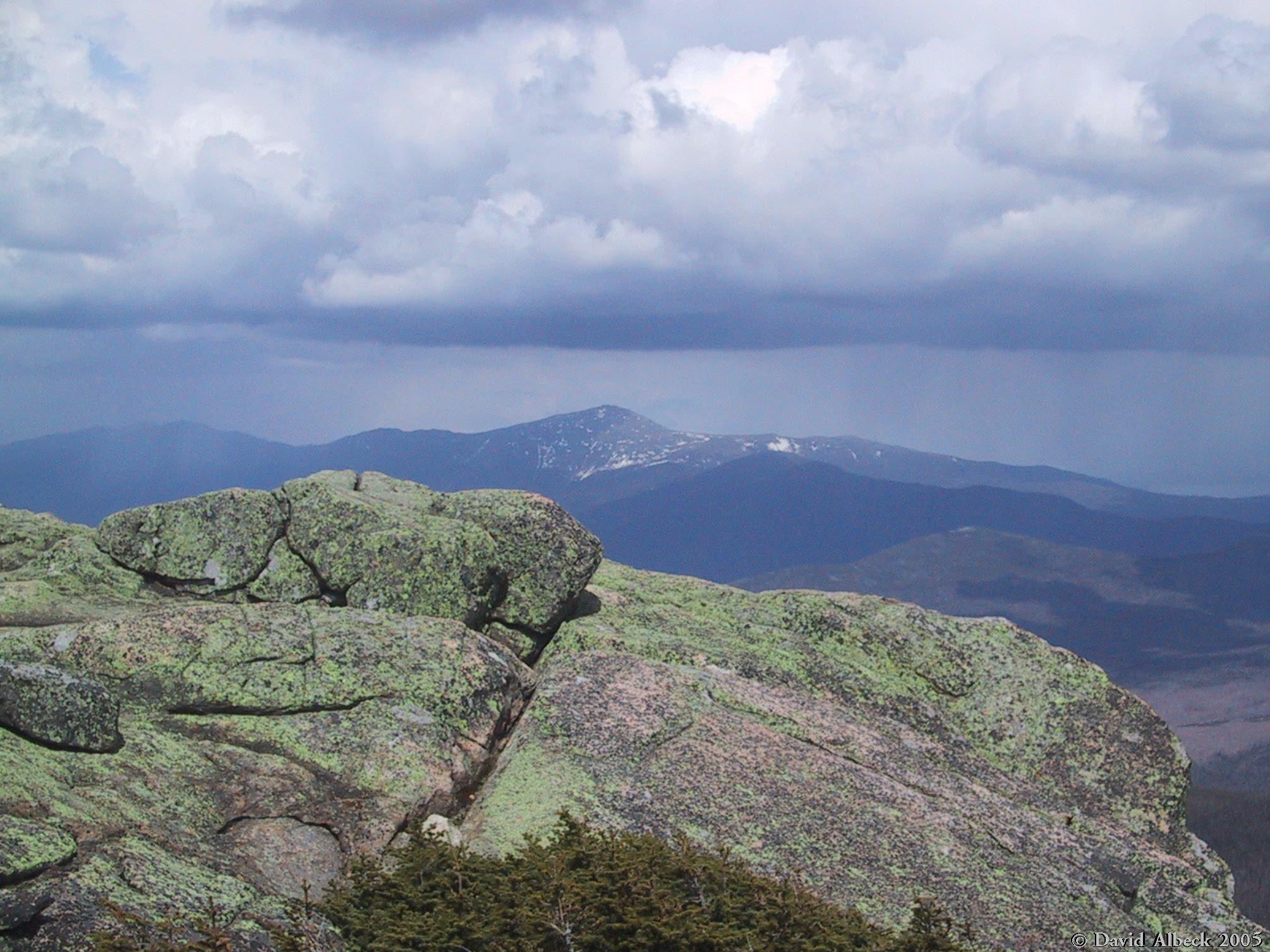
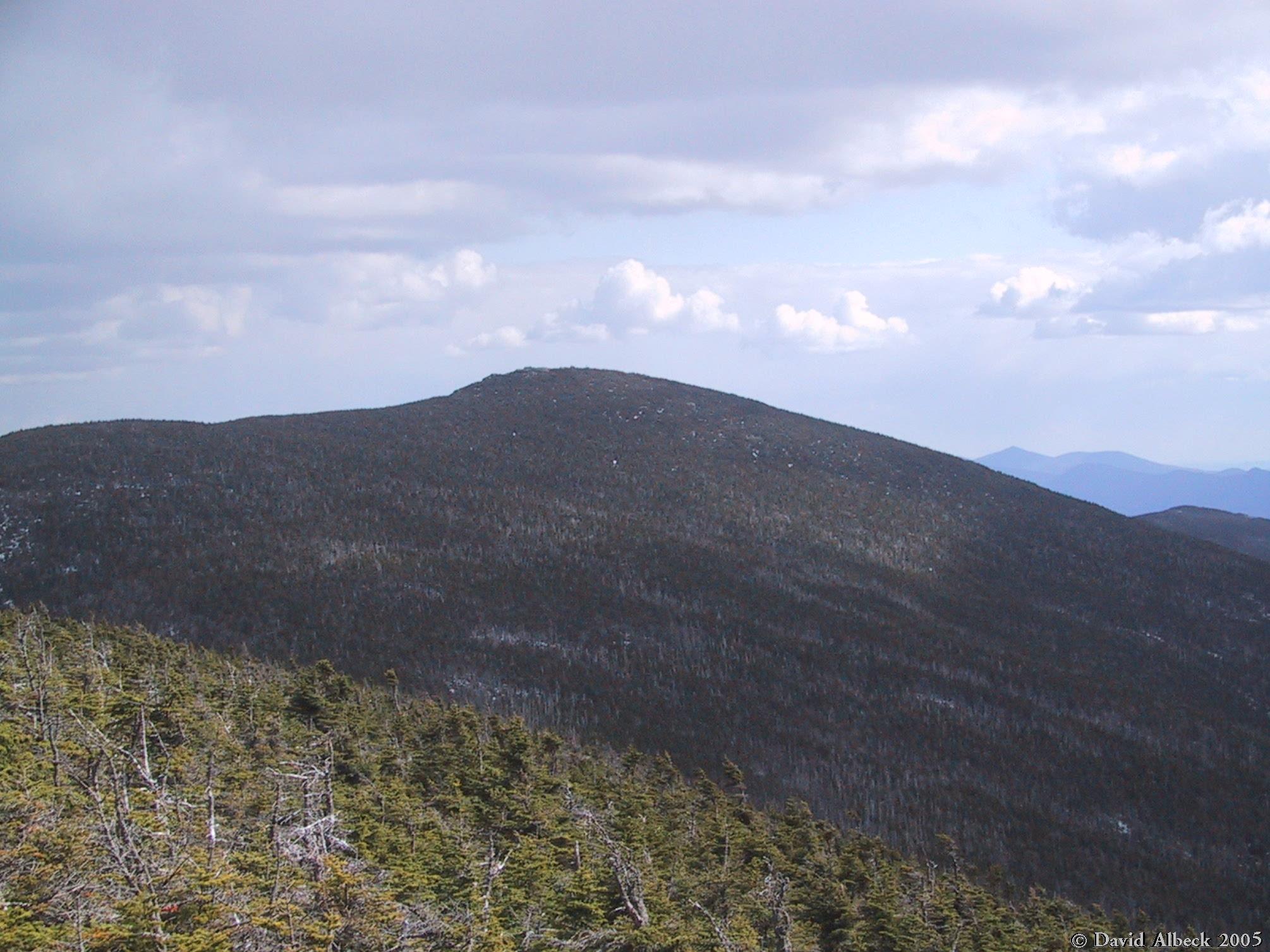
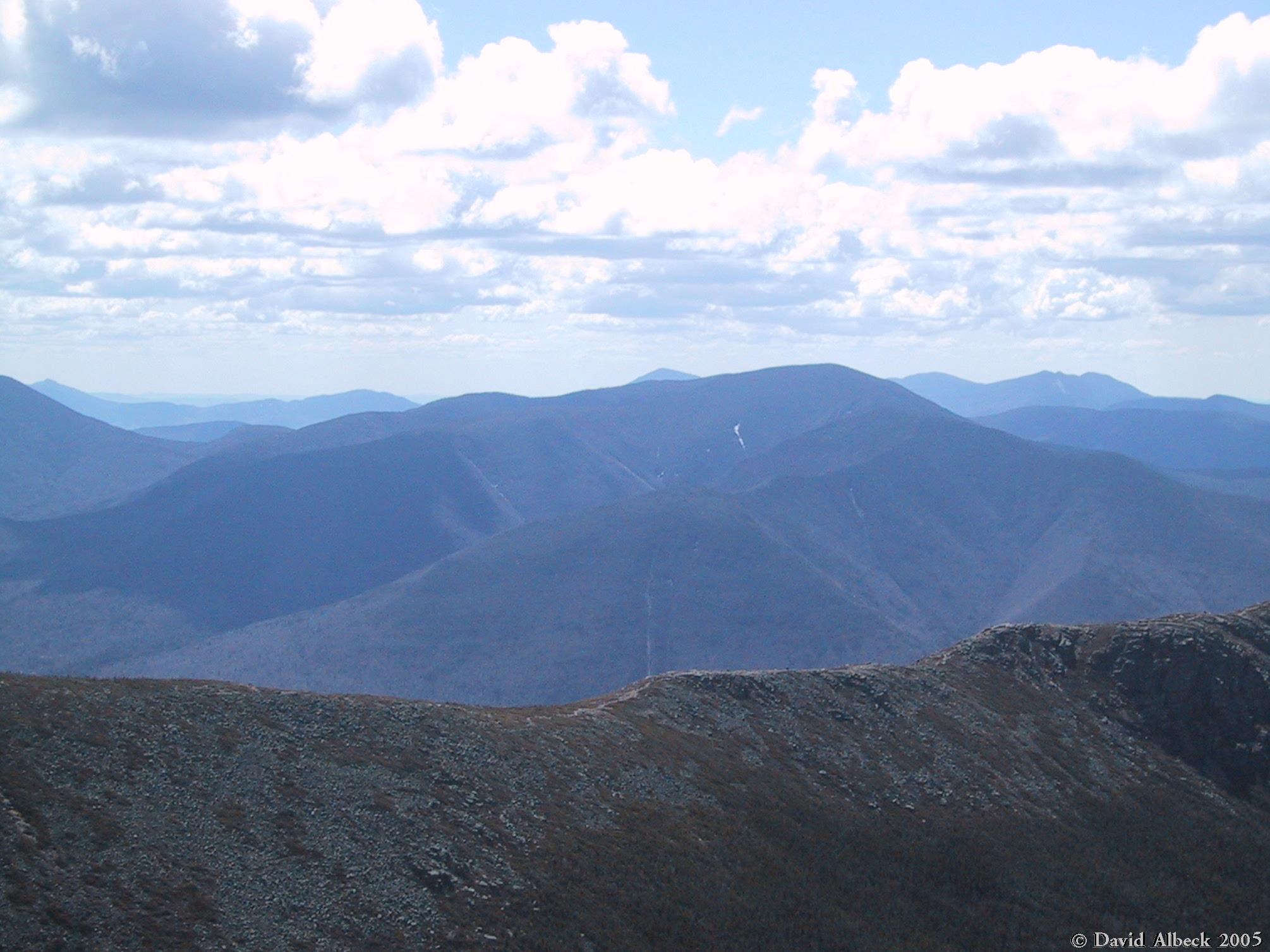
From the same ledge, view north to Mt Liberty. |
|
|
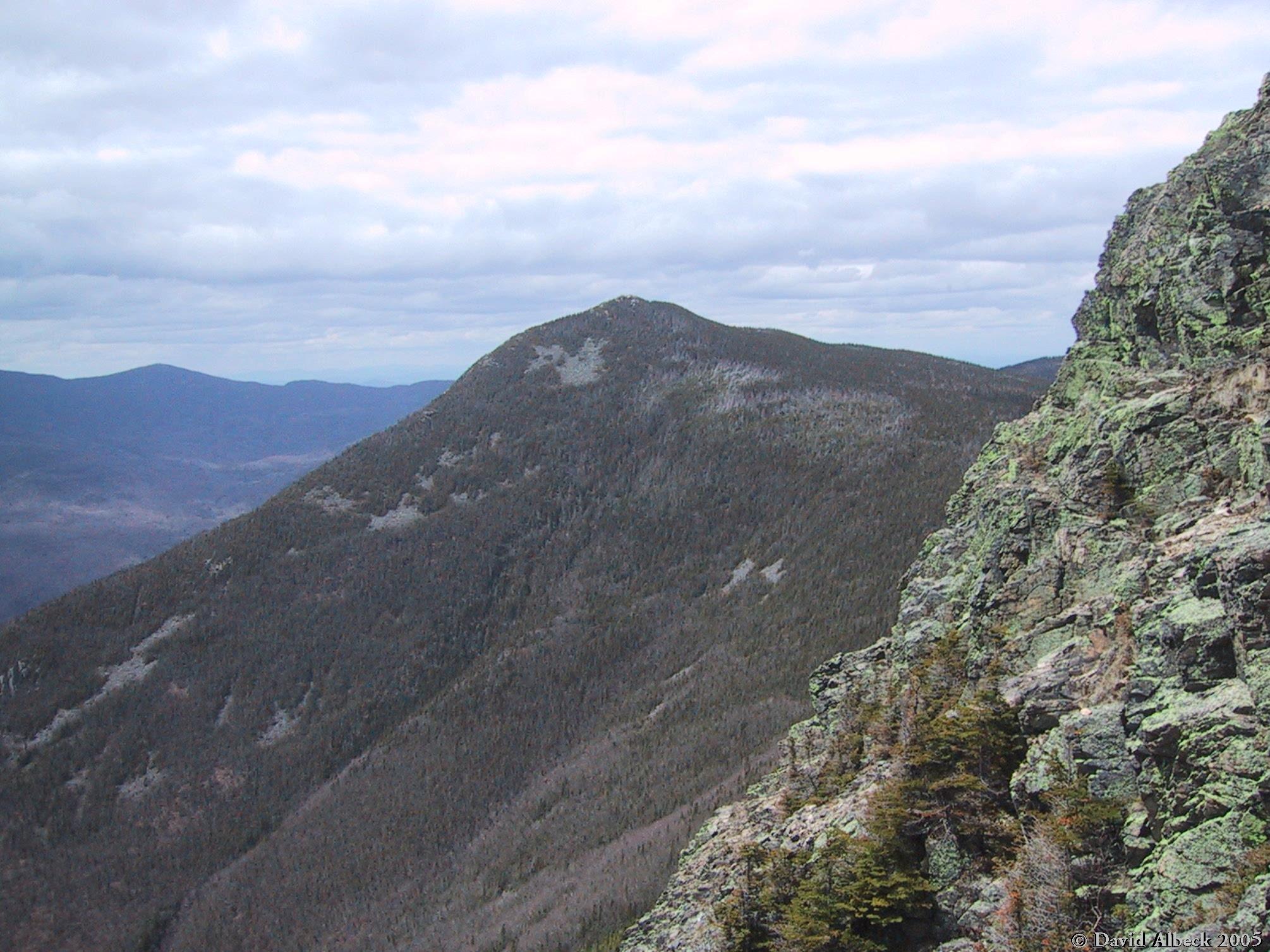
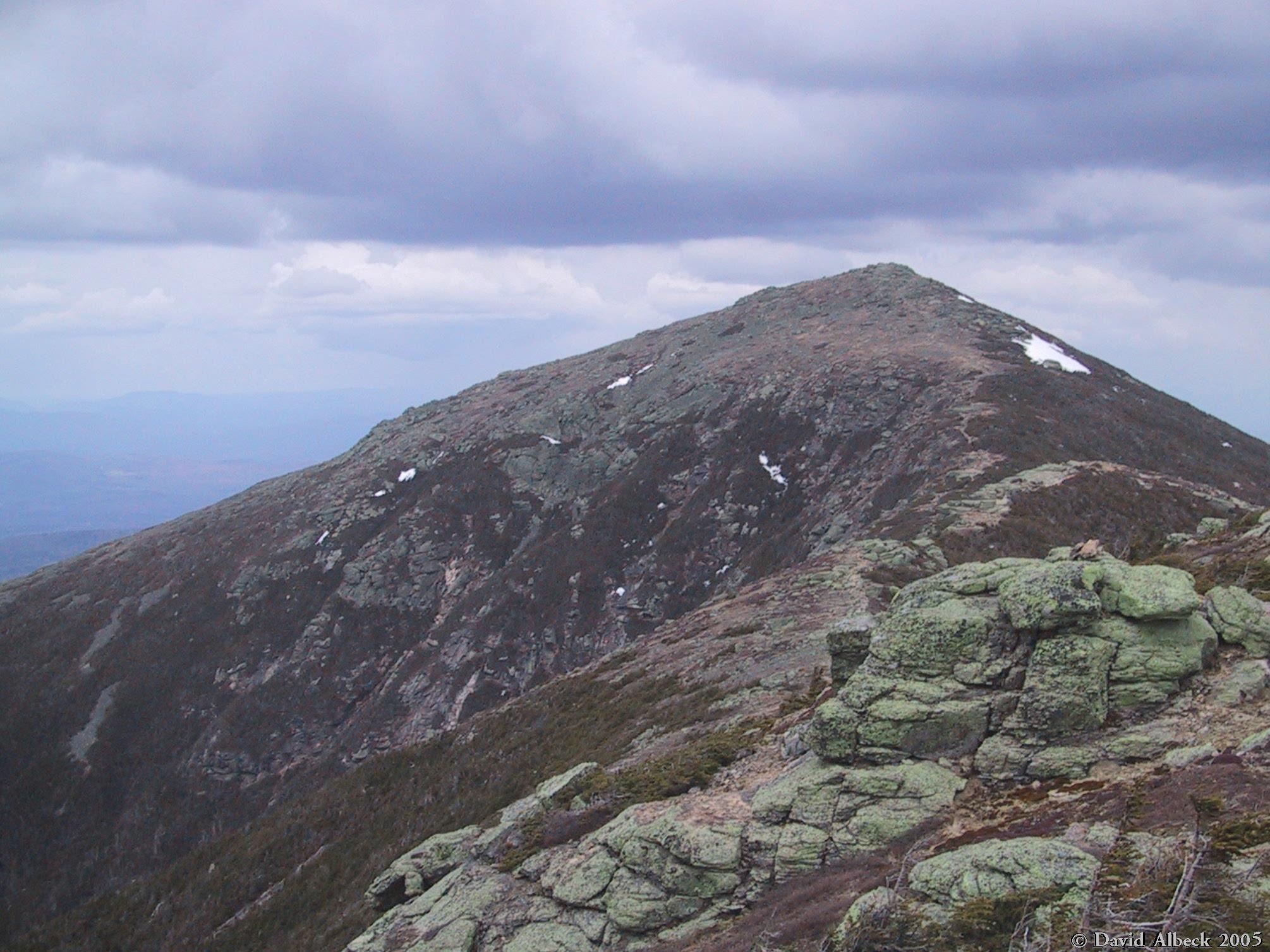
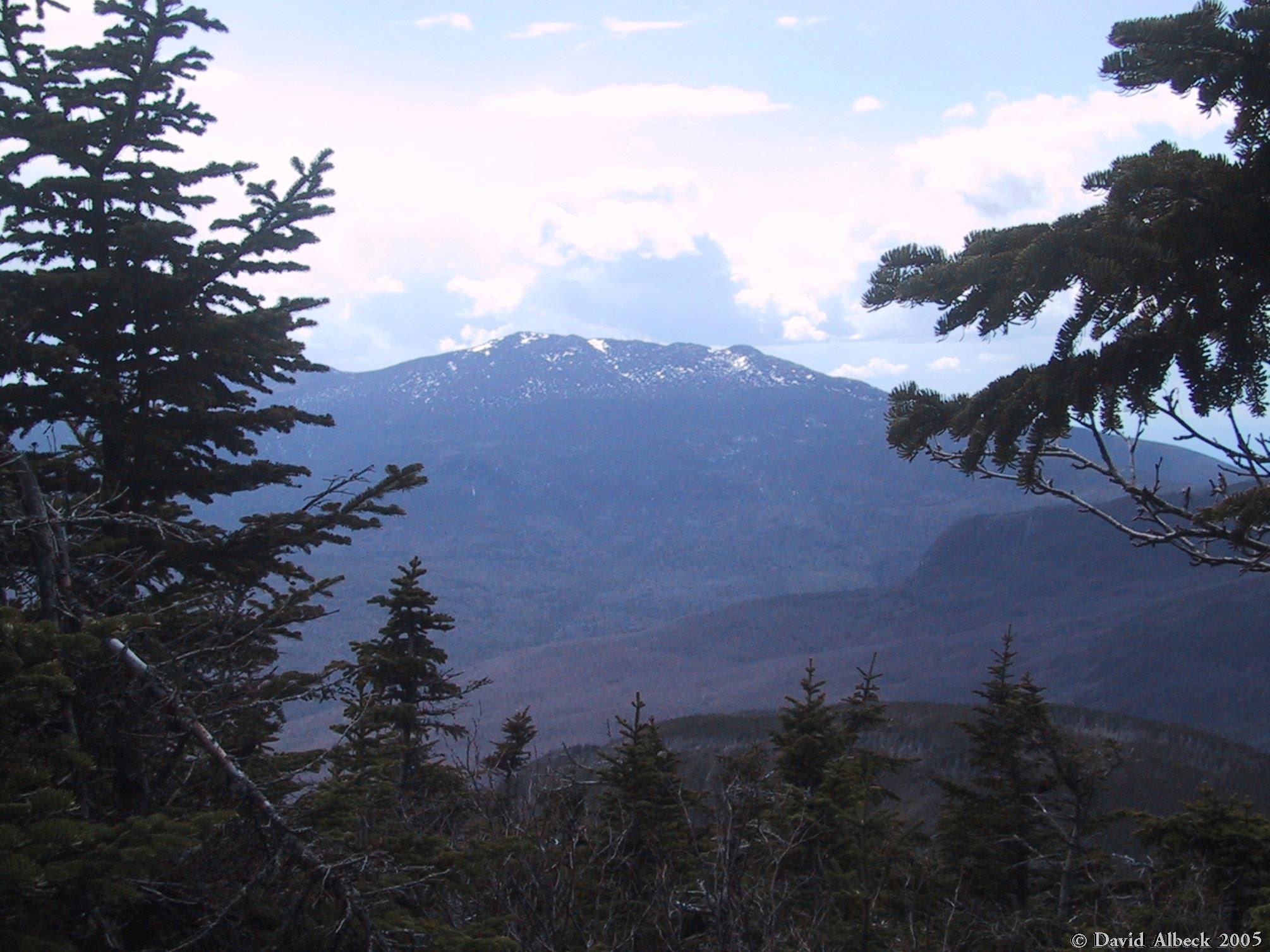
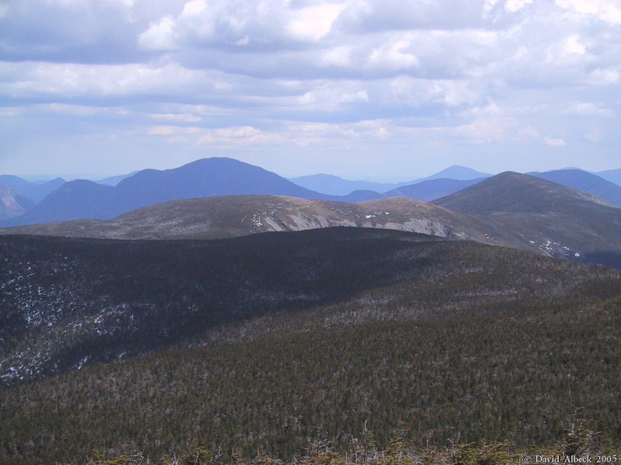
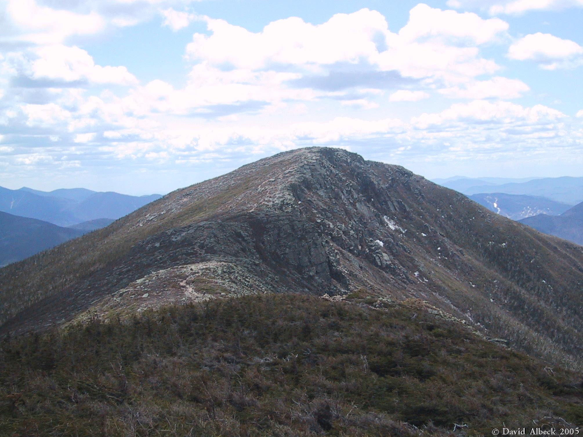
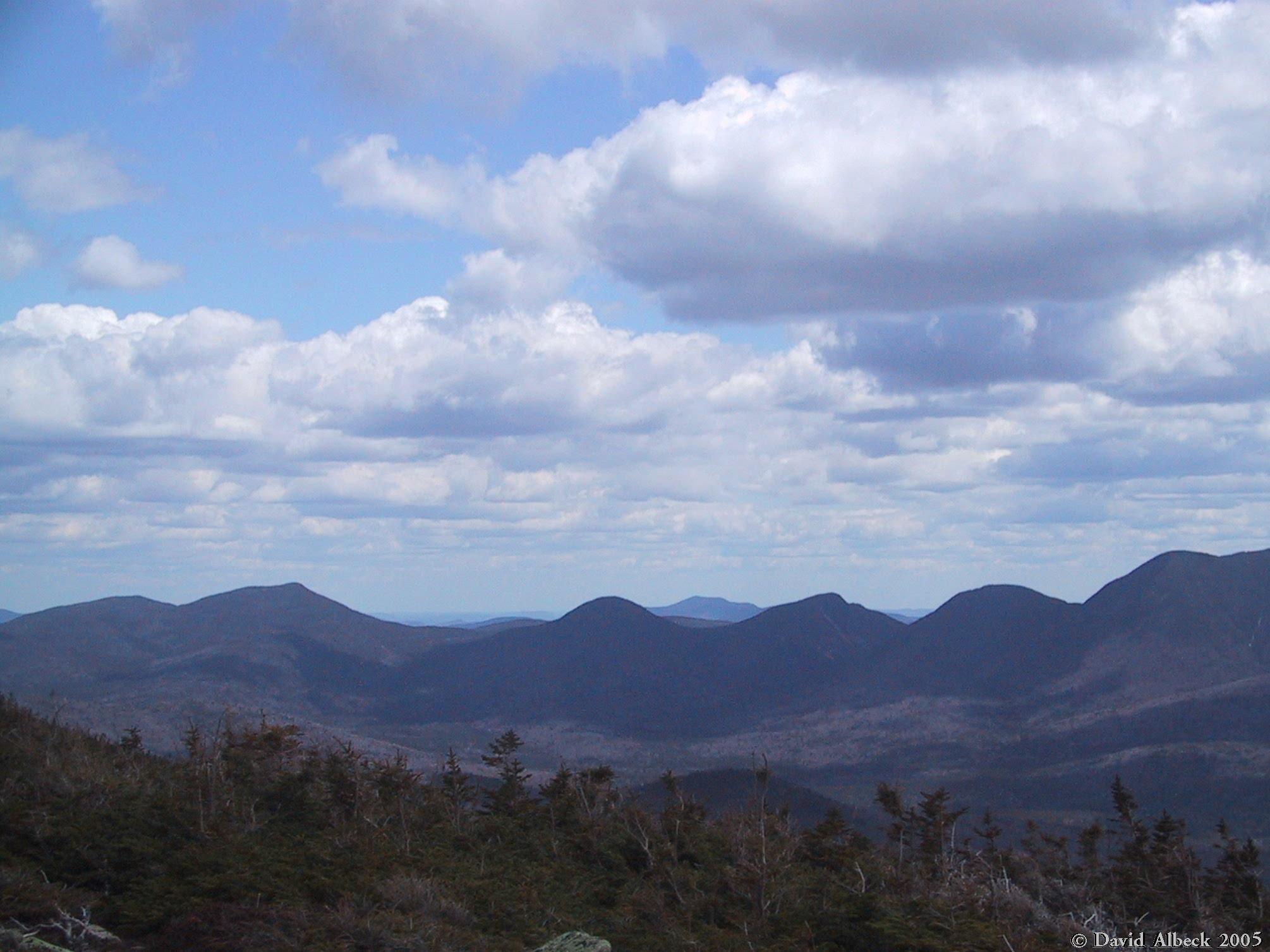
From Mt Liberty, view north to Little Haystack, Lincoln, and Lafayette. |
|
|
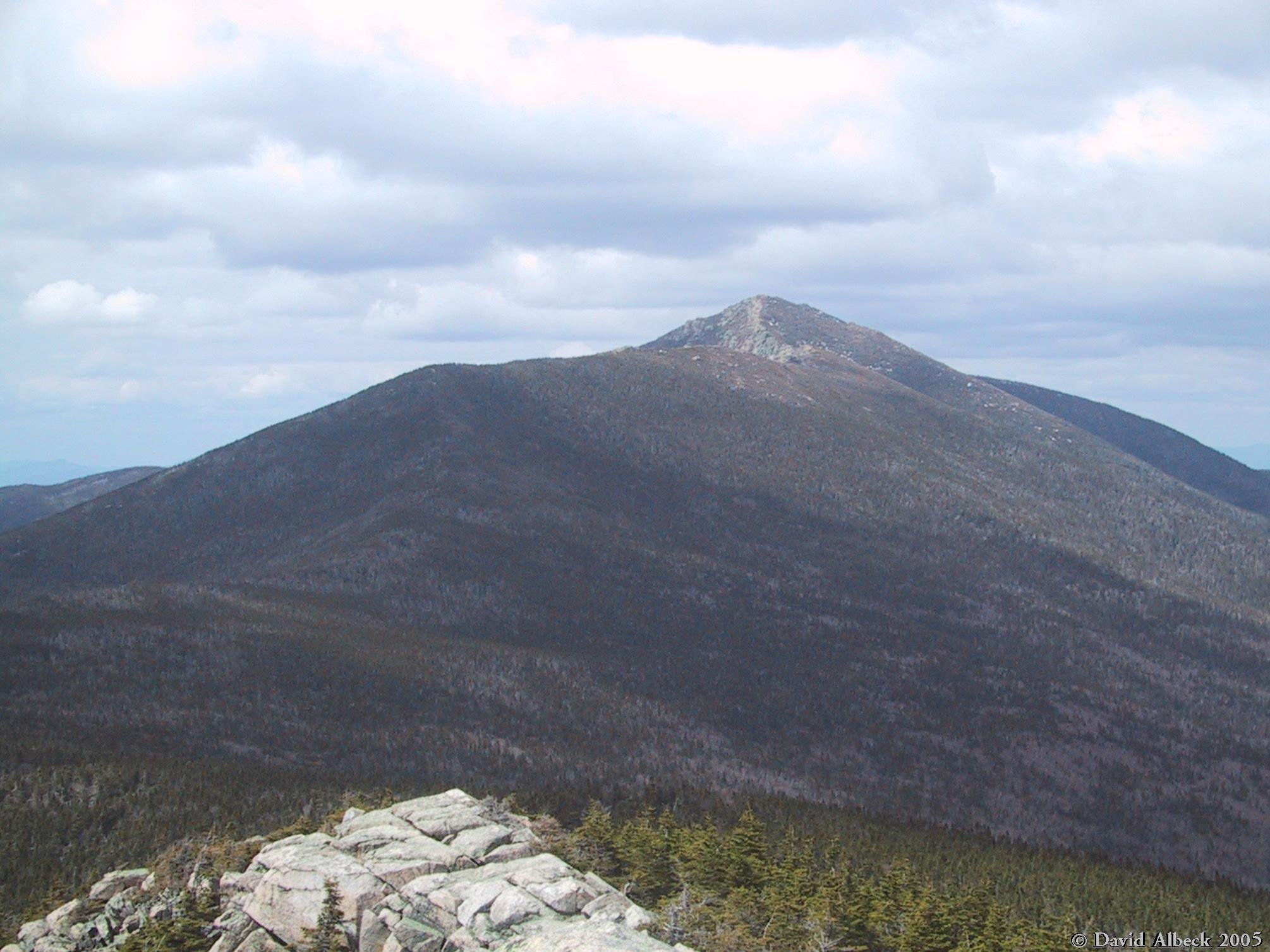
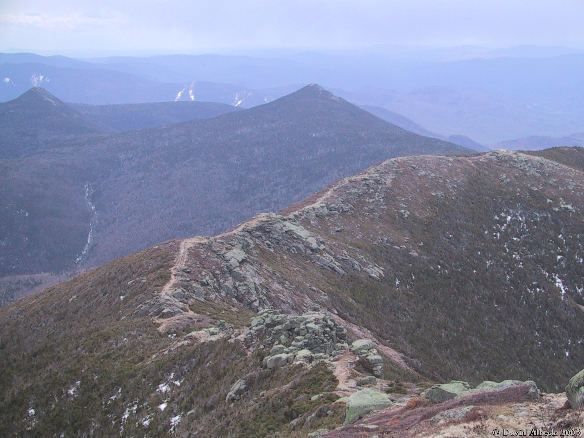
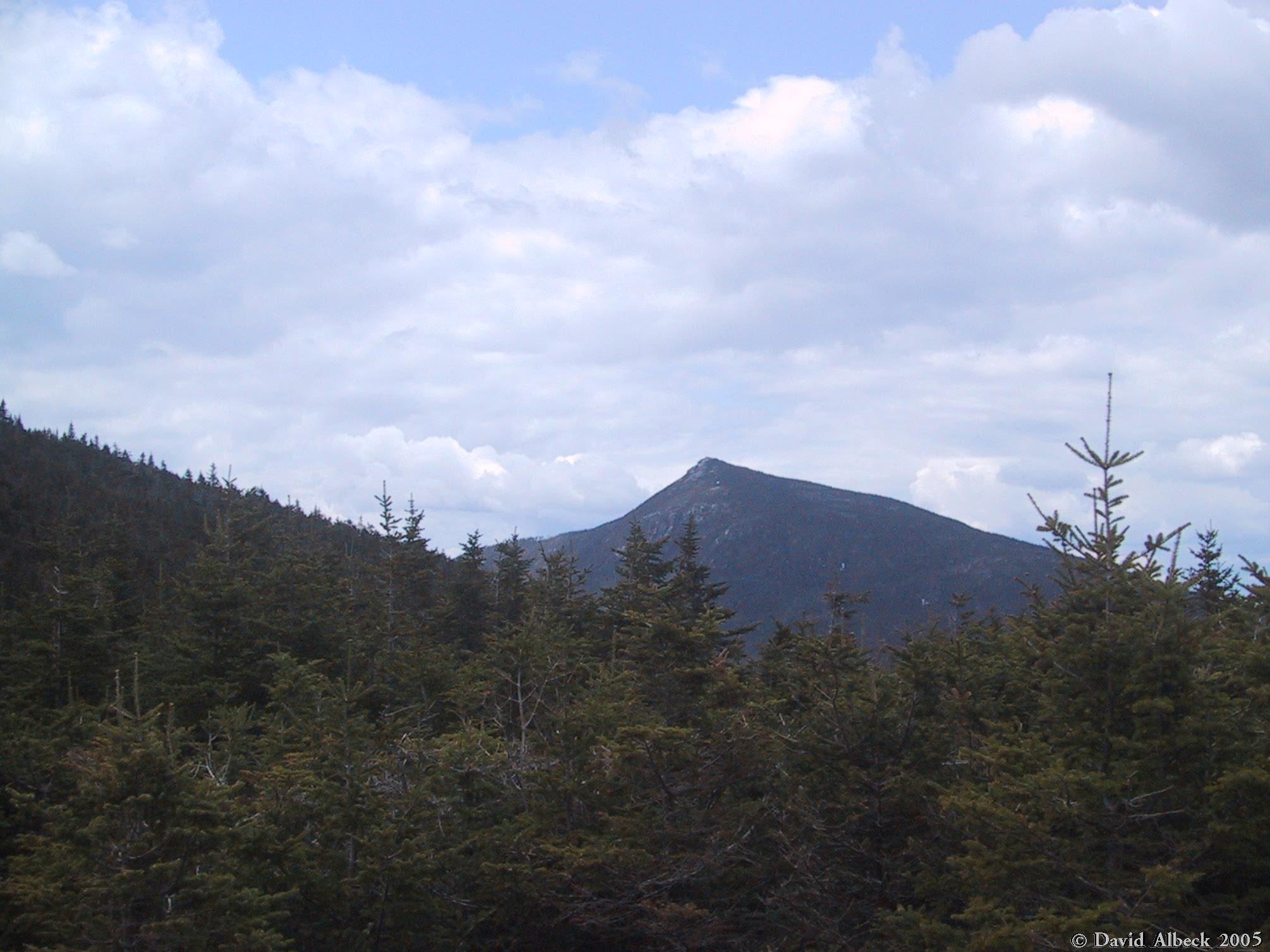
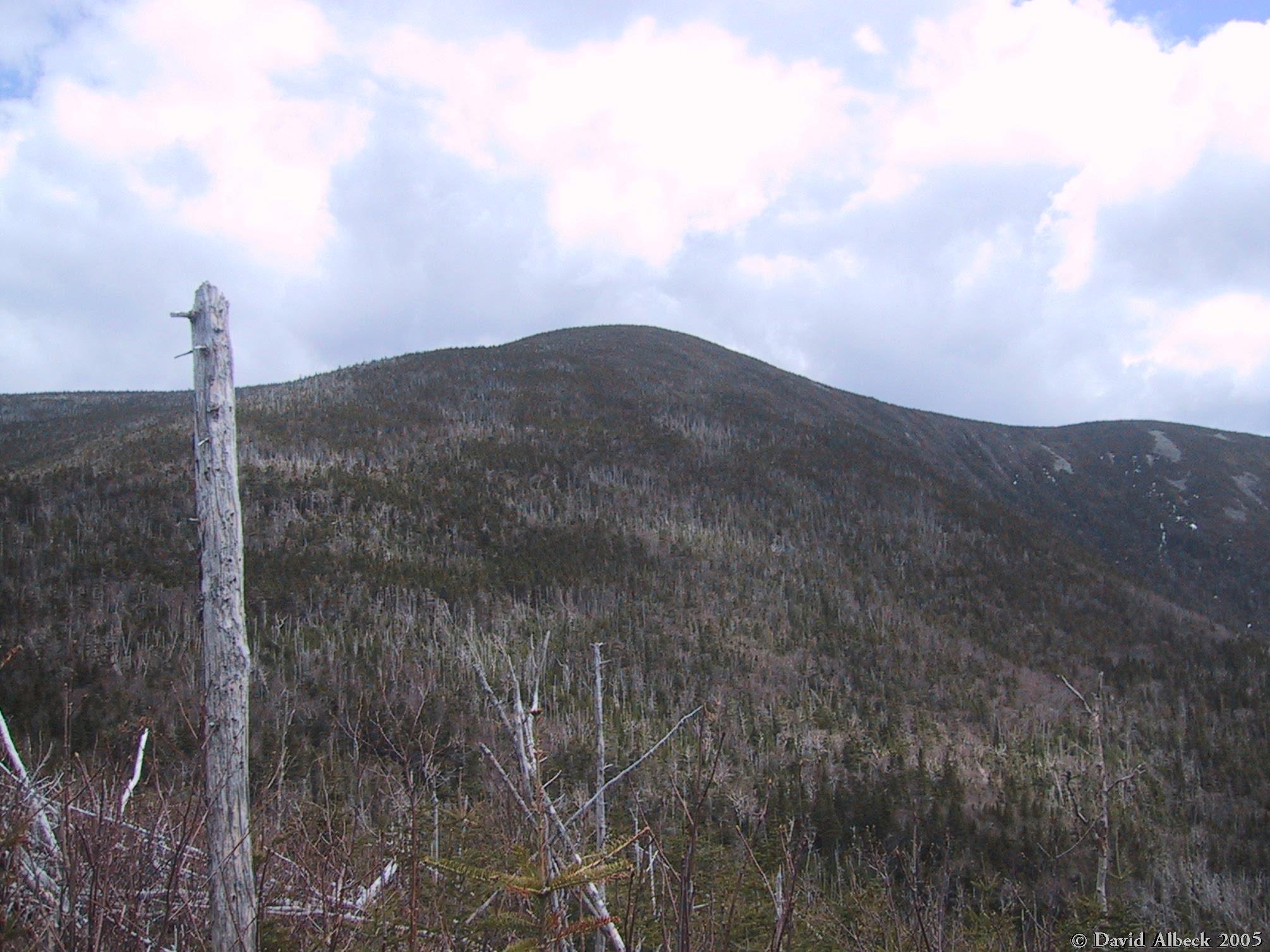
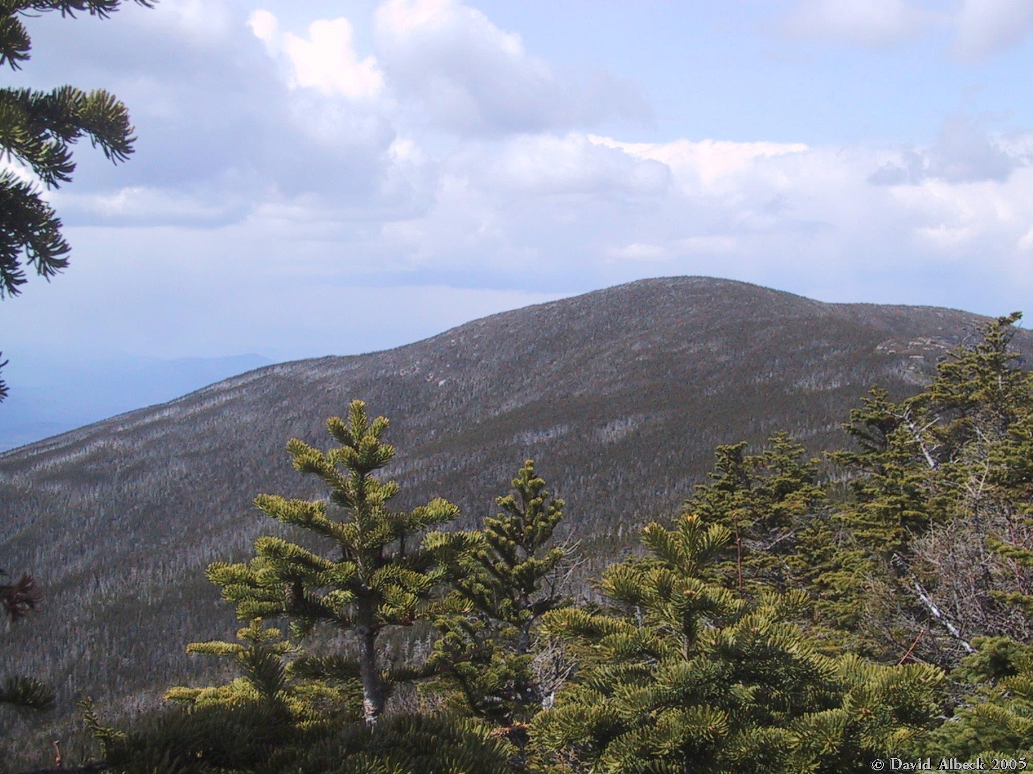
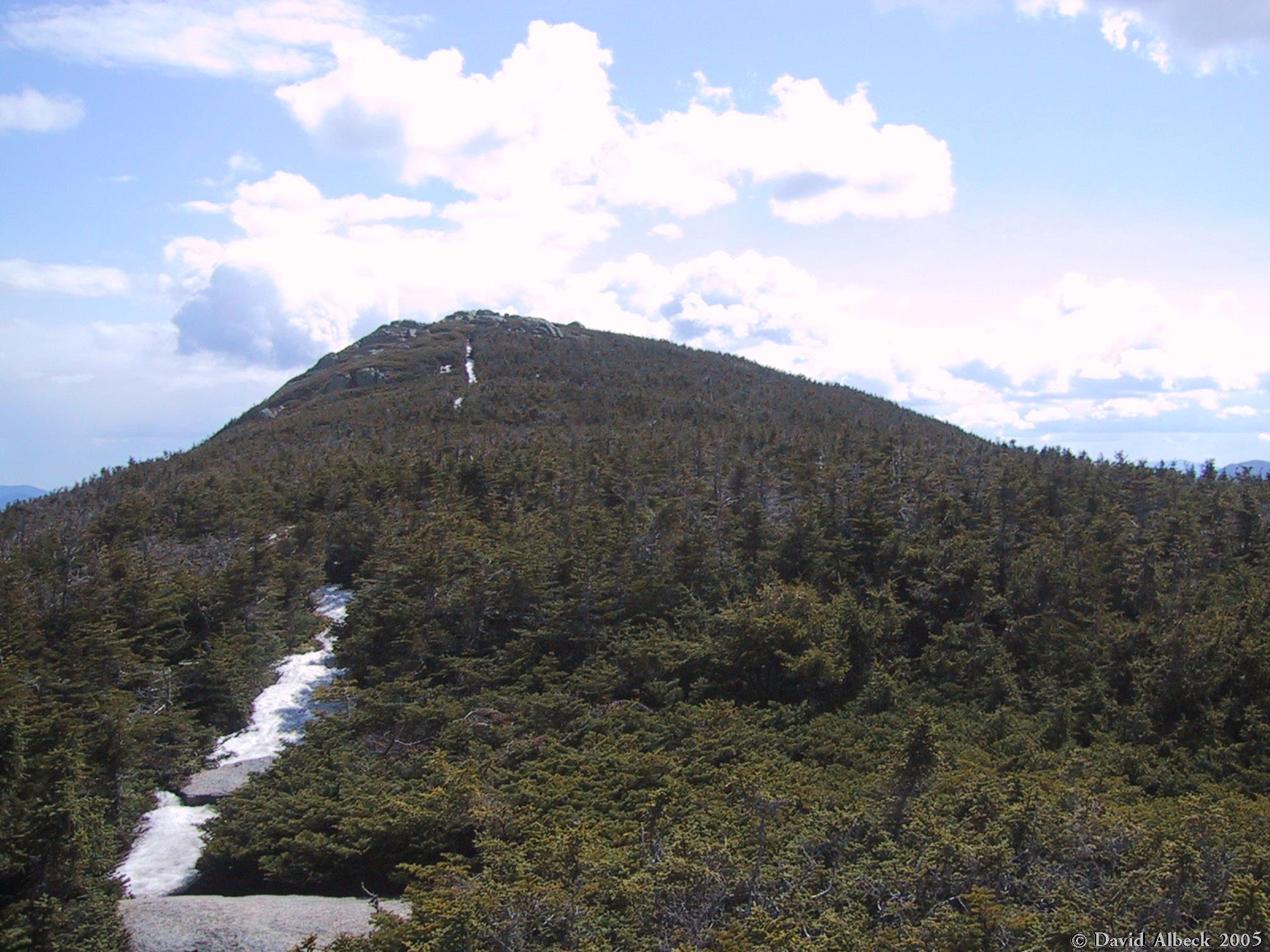
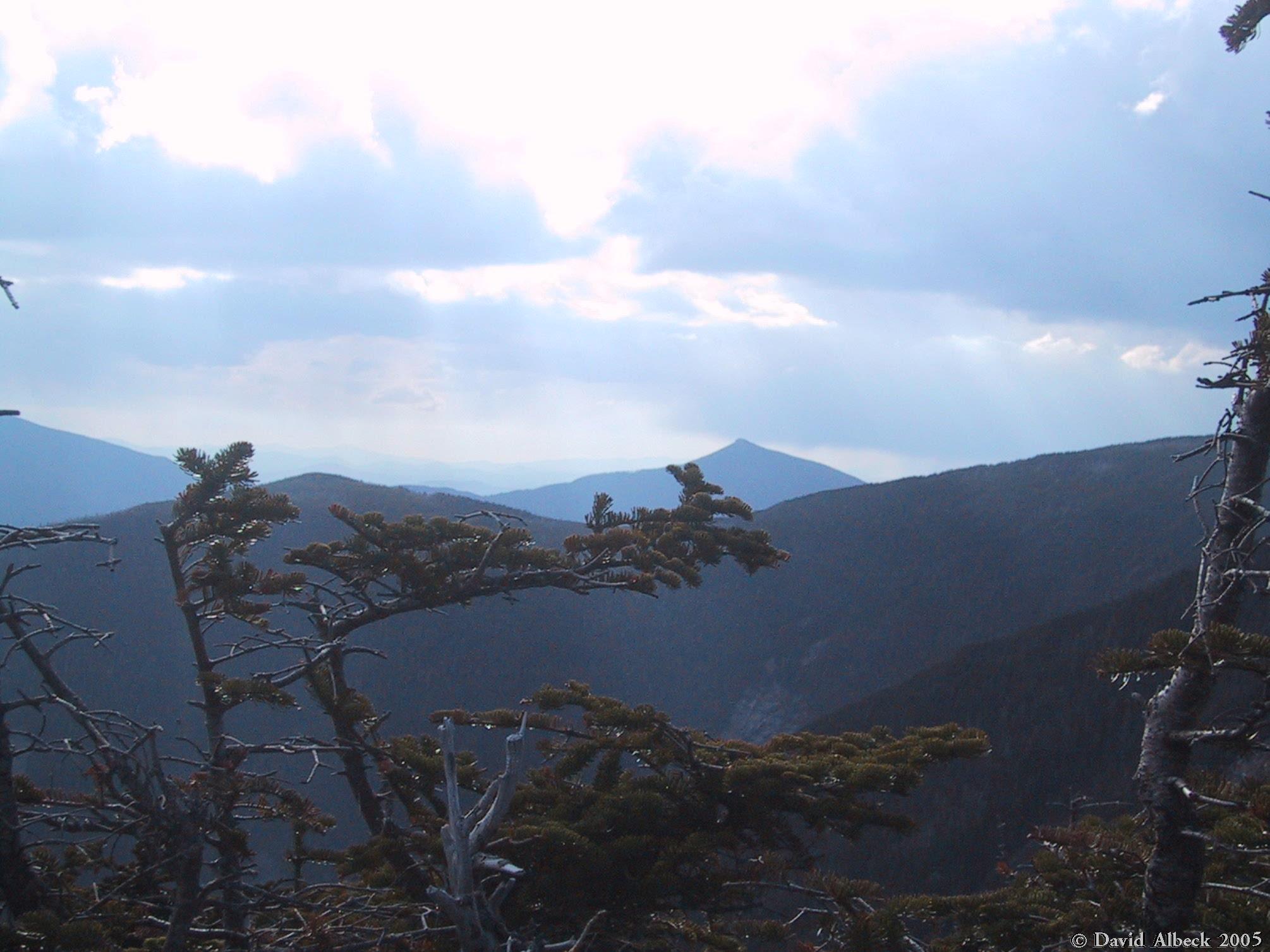
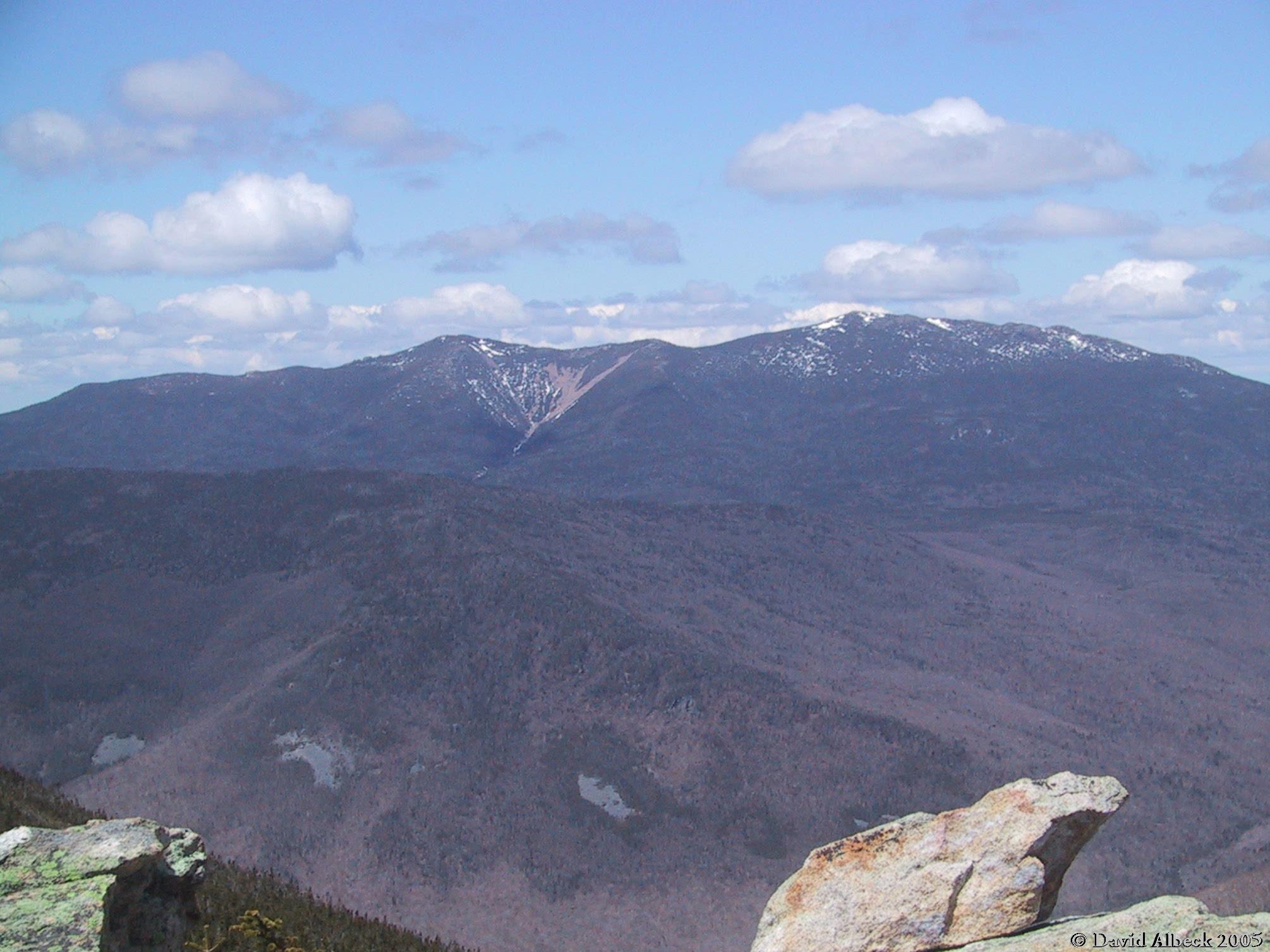
From Mt Liberty, view back to Mt Flume. |
|
|
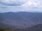
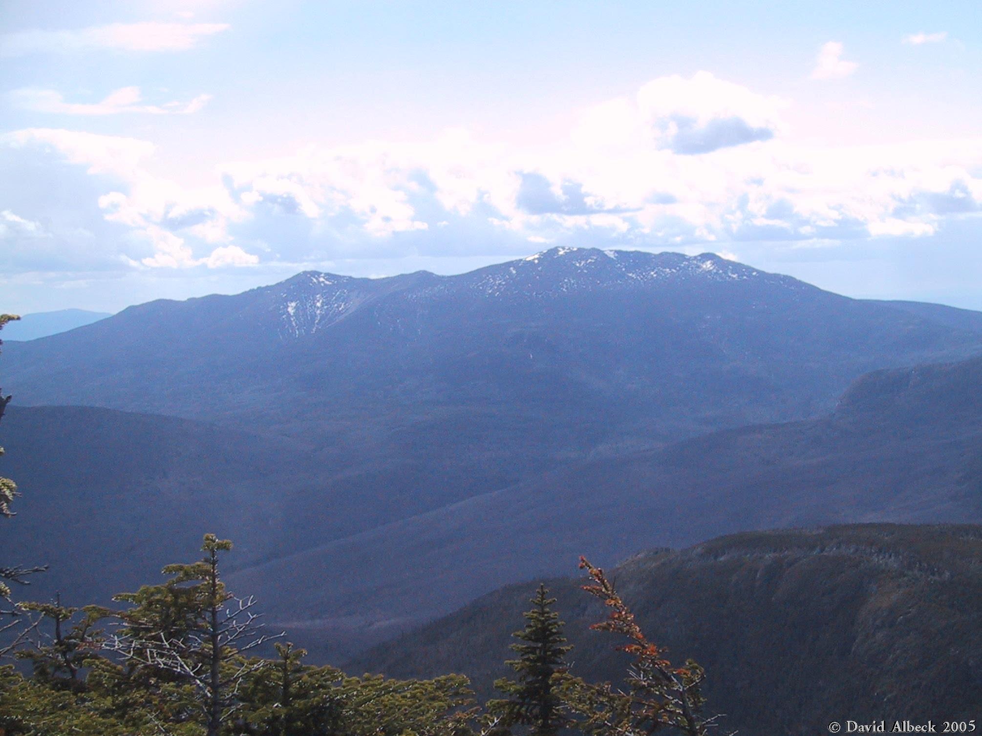
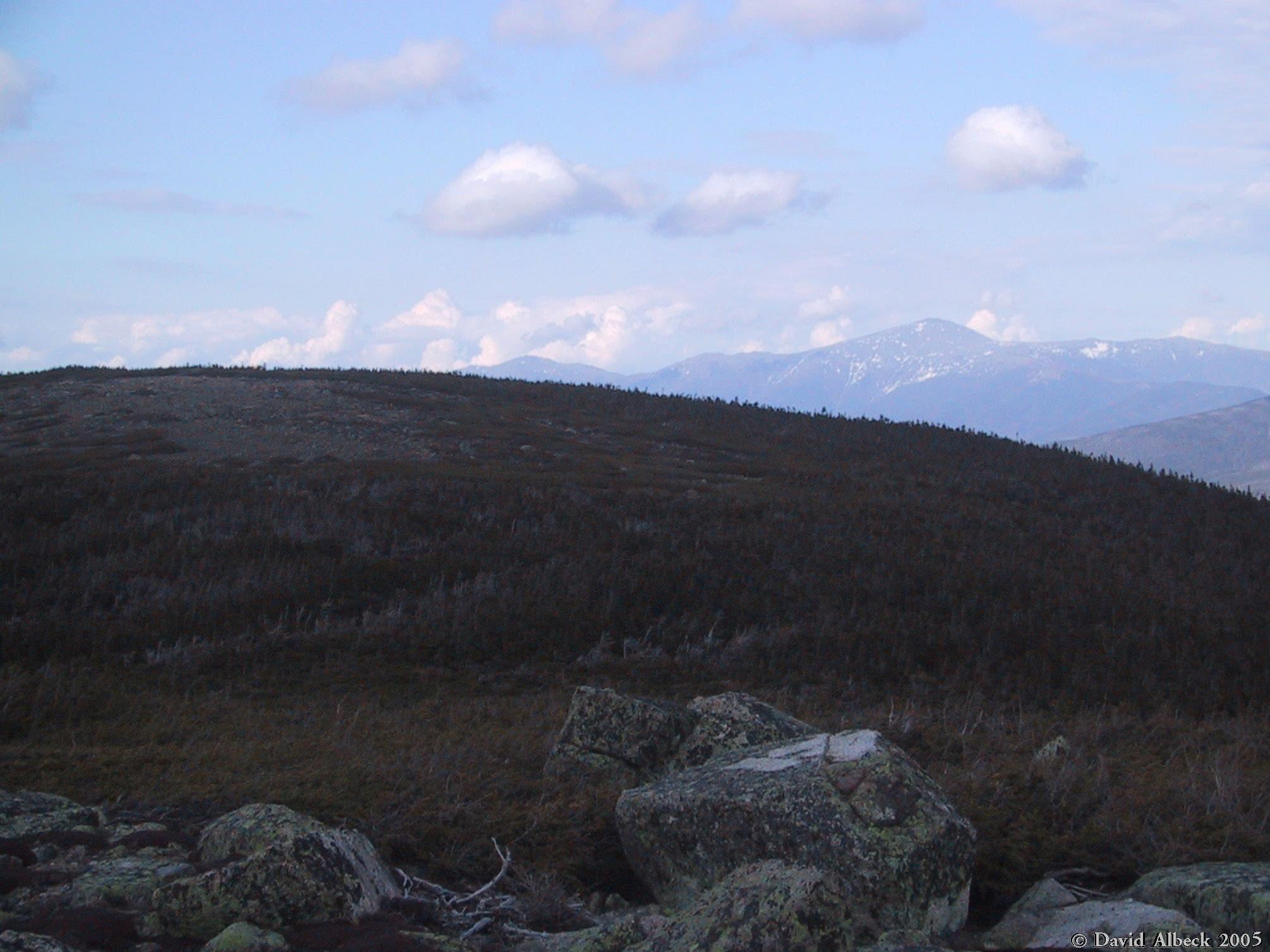
Another shot northward to Little Haystack and Mt Lincoln, this time from just north of the summit of Liberty. |
After a night at Liberty Spring Campsite, we continued North along the Franconia Ridge Trail, passing over Little Haystack, Mt Lincoln, and Mt Lafayette before following the Garfield Ridge Trail over Mt Garfield to the Garfield Ridge Campsite.
|
As we emerge from the trees on Little Haystack, we get a good view of Mt Liberty behind us. | |
|
This is the summit of Little Haystack (on the right), with Mt Lincoln behind it (on the left). | |
|
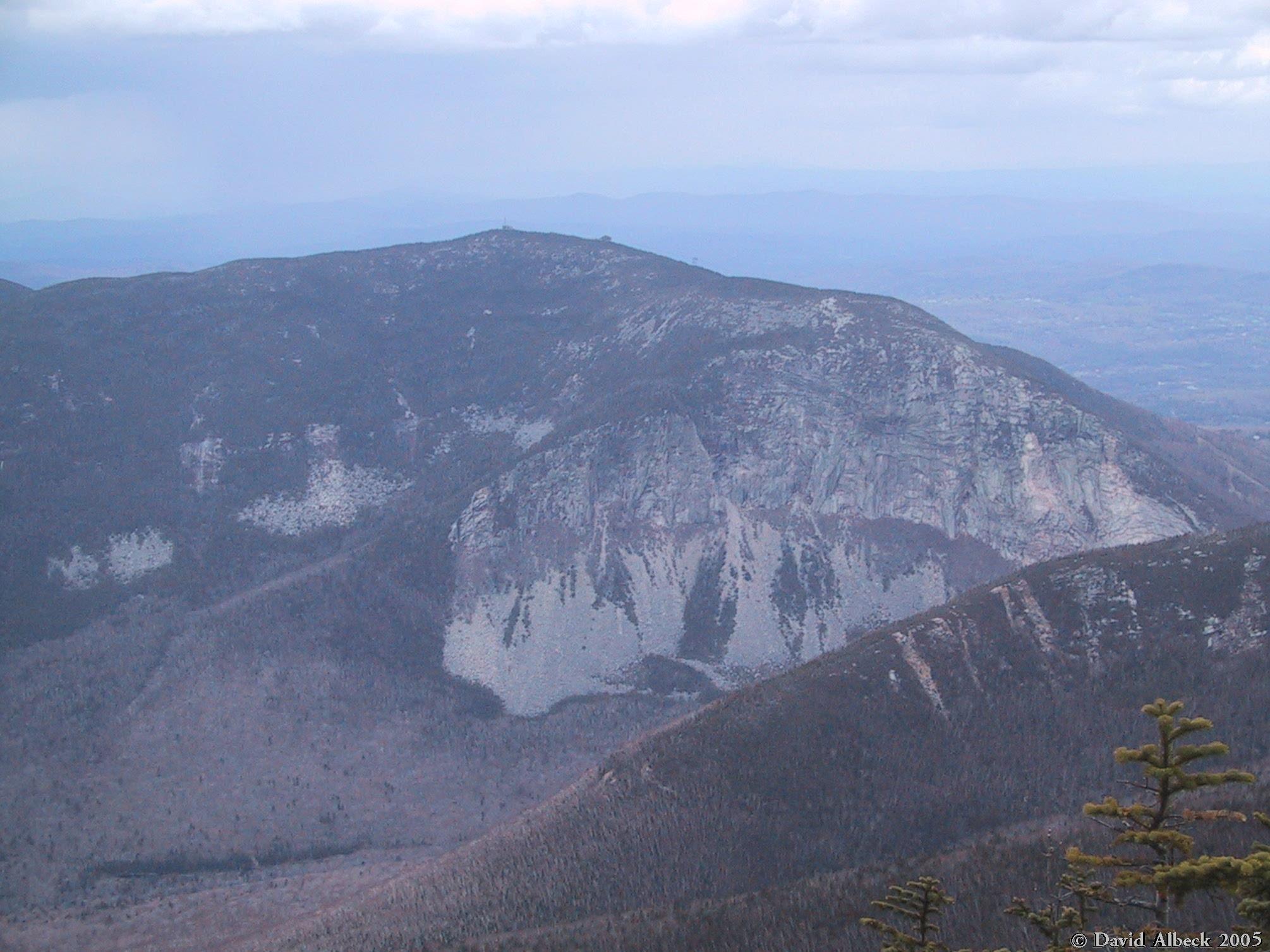
From up on Franconia Ridge we've got good views of the cliffs on Cannon Mountain. | |
|
Also we can see Mt Kinsman and Lonesome Lake across Franconia Notch. | |
|
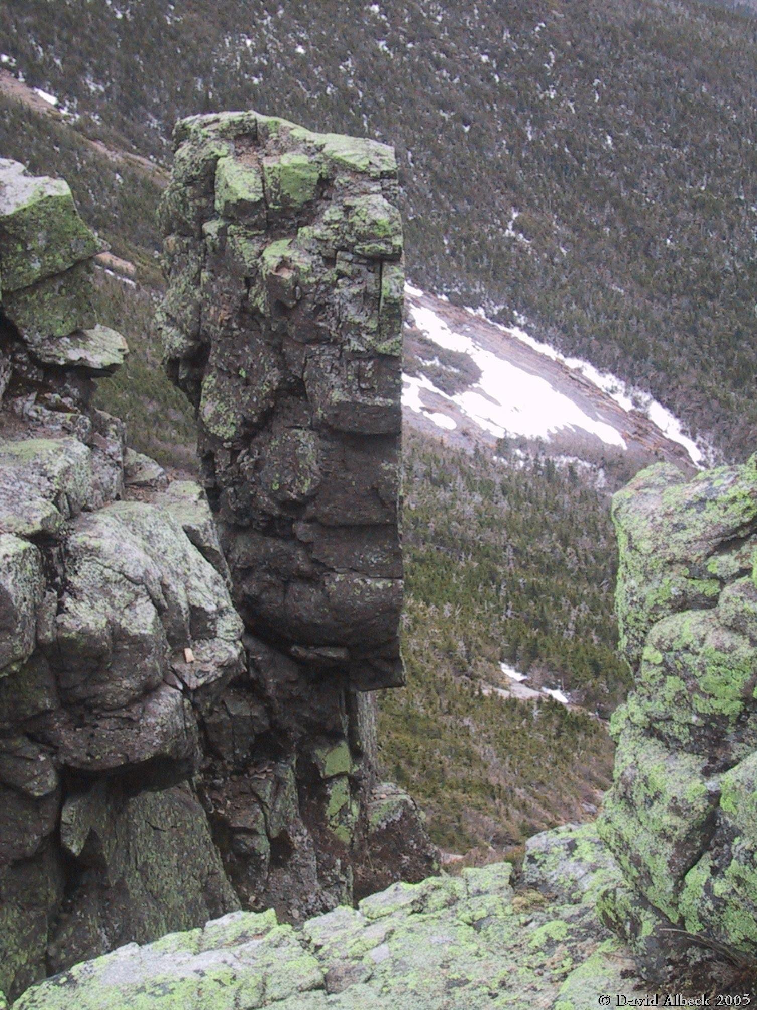
I thought about climbing to the top of this slab, but then thought better of it. | |
|
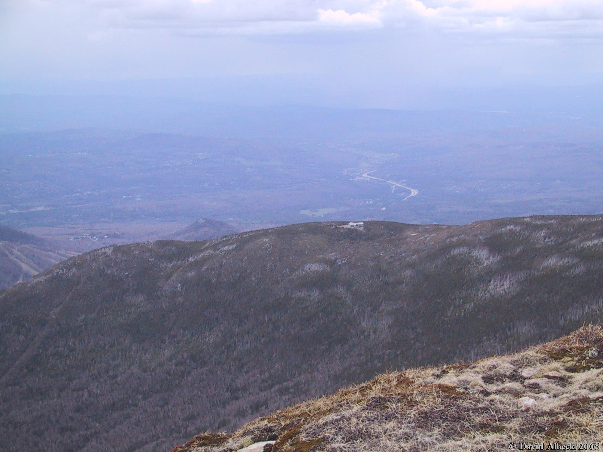
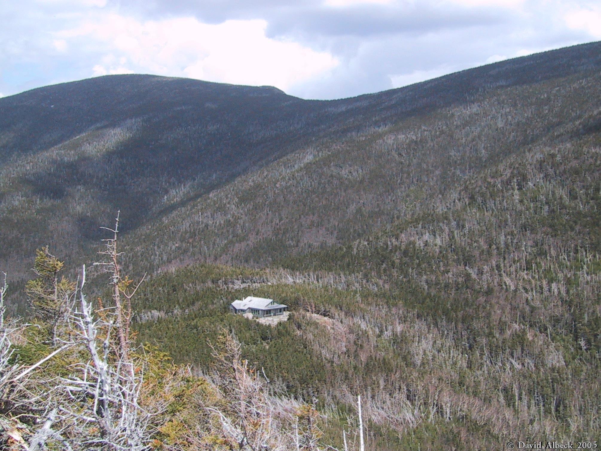
From Mt Lincoln, we can see Greenleaf Hut sitting on a shoulder of Mt Lafayette. I liked the way the highway snakes away in the background. | |
|
Here's the highway again: that exit is the trailhead for the classic Lincoln-Lafayette loop hike, part of which goes along the top of the ridge at right. | |
|
Here's Mt lafayette from up close. I was trying to take this shot from about the same
spot as
|
View eastward. In the distance is the Presidential Range. The dark ridge across the middle of the photo is the Twin Range, which is where we're going next. If you look very closely you can distinguish Galehead Mountain at the exact center of the photo, lower than and in front of the Twins. |
|
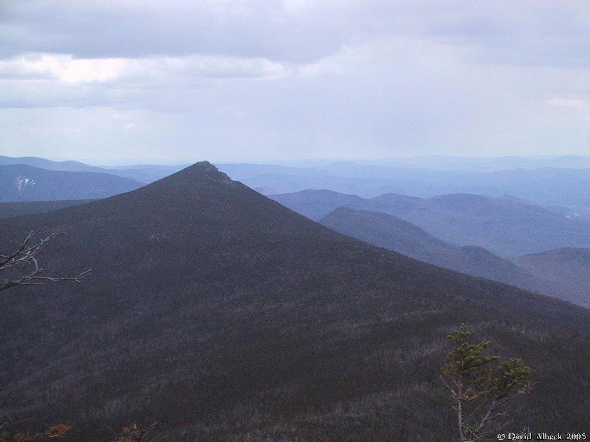
From Mt Lincoln, view down the Franconia Ridge Trail toward Mts Liberty and Flume. | |
|
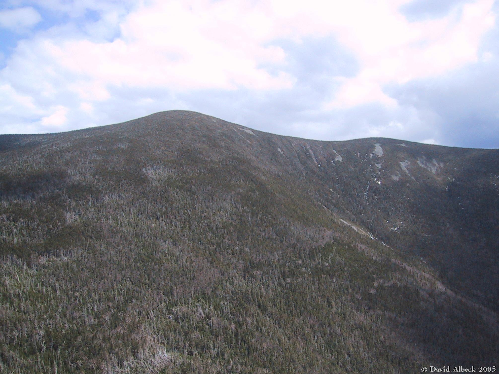
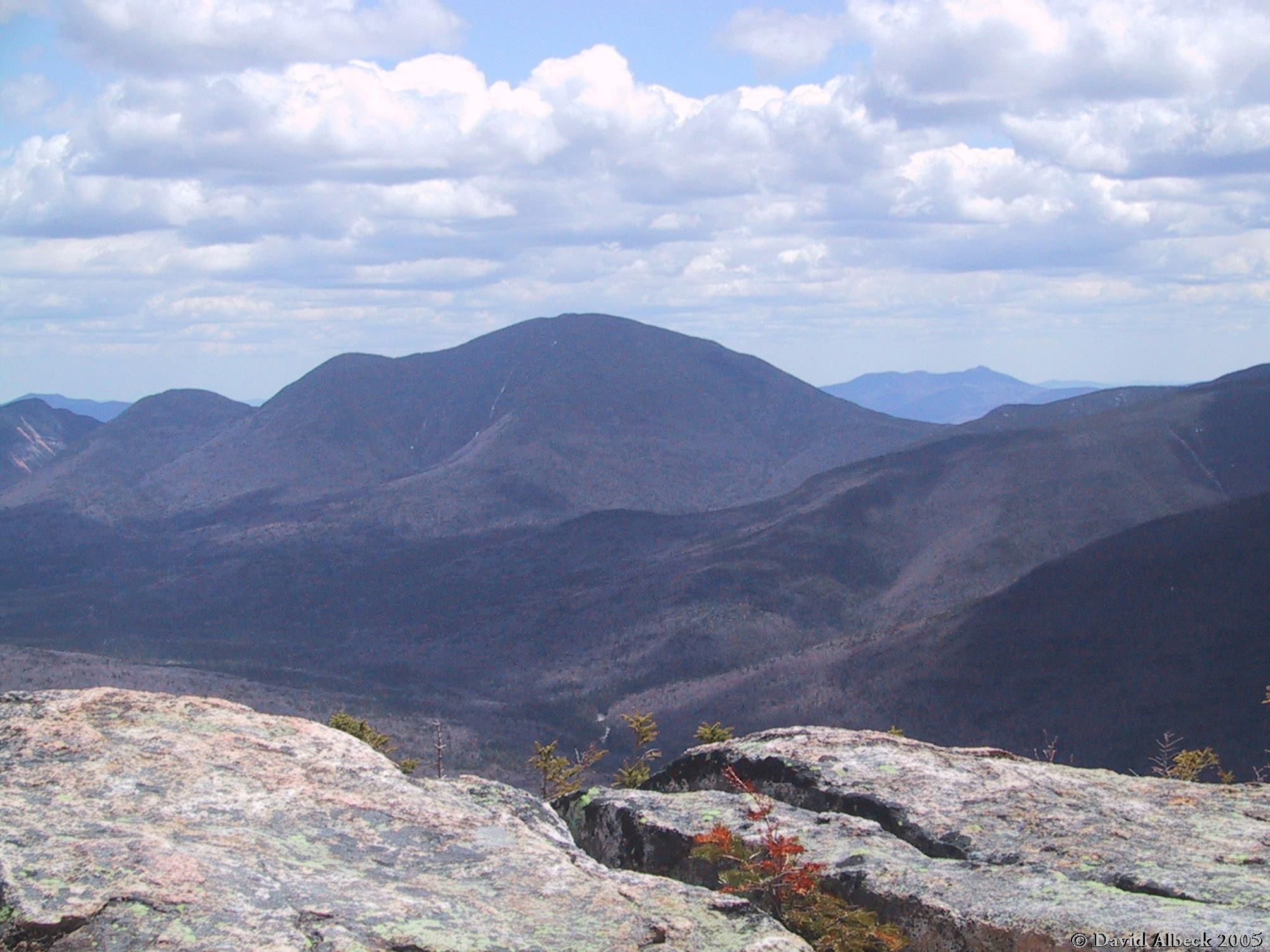
From Mt Lafayette, view south to Mt Lincoln. | |
|
A view toward Cannon and Kinsman from the northern shoulder of Mt Lafayette. | |
|
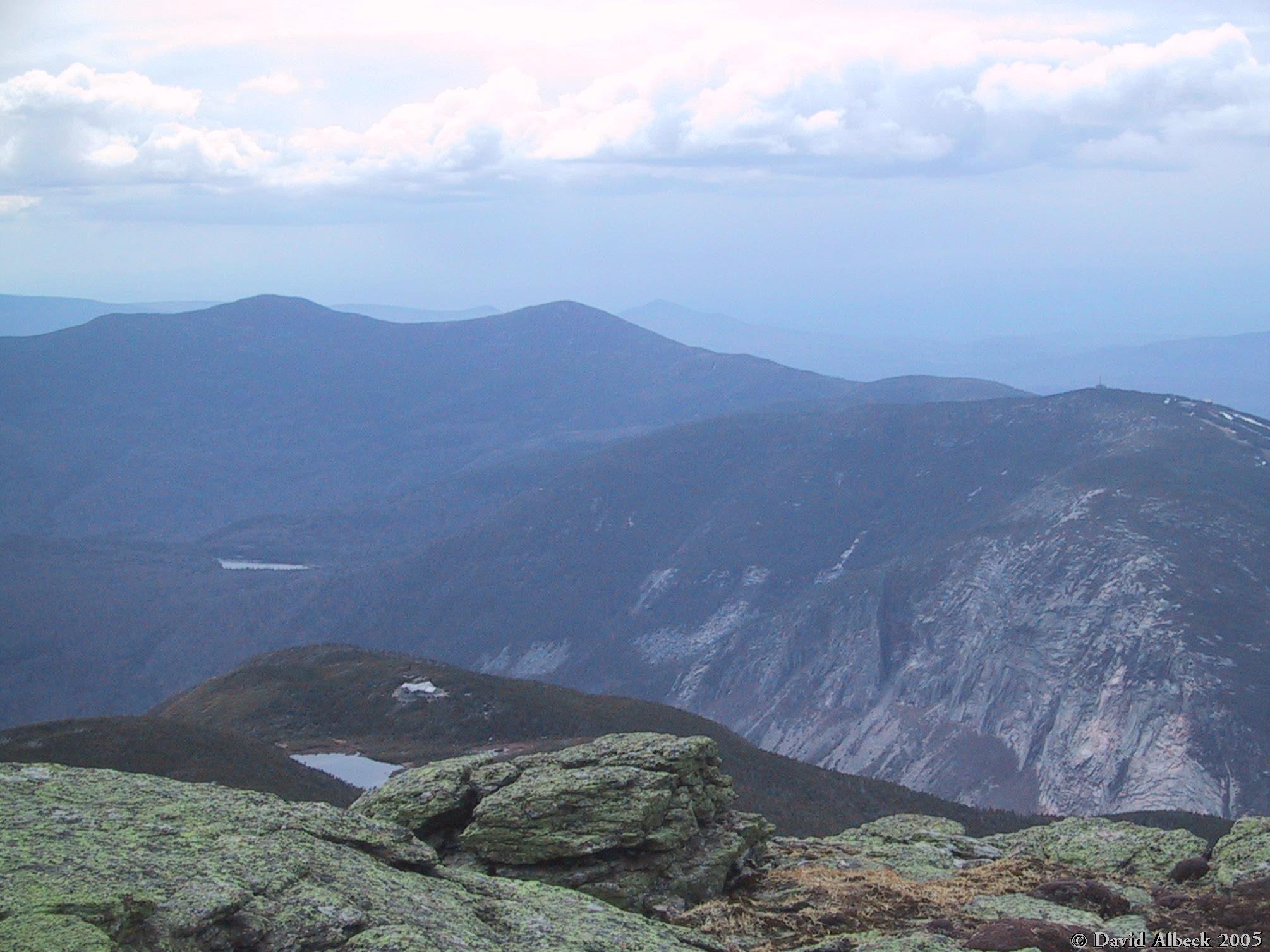
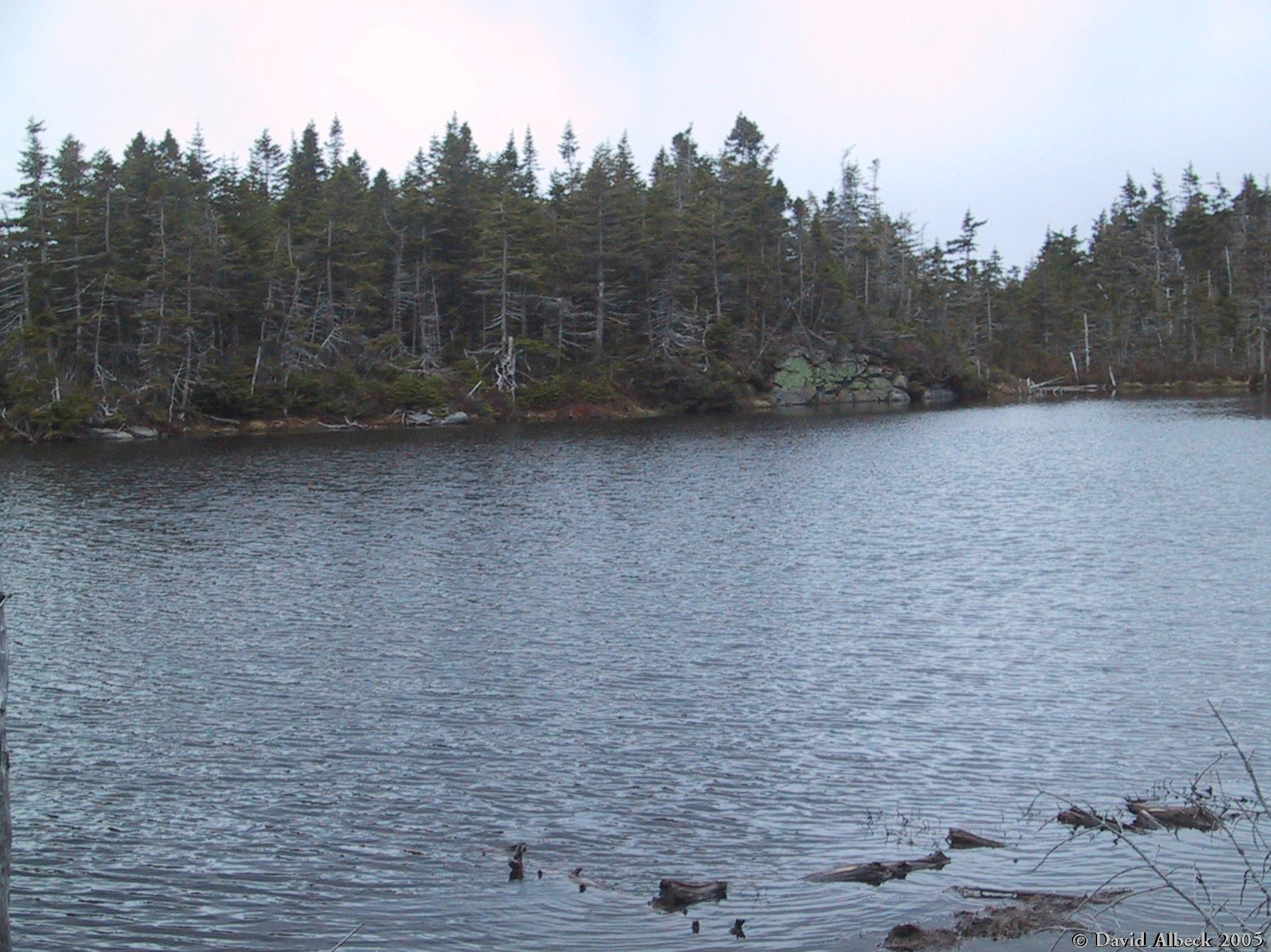
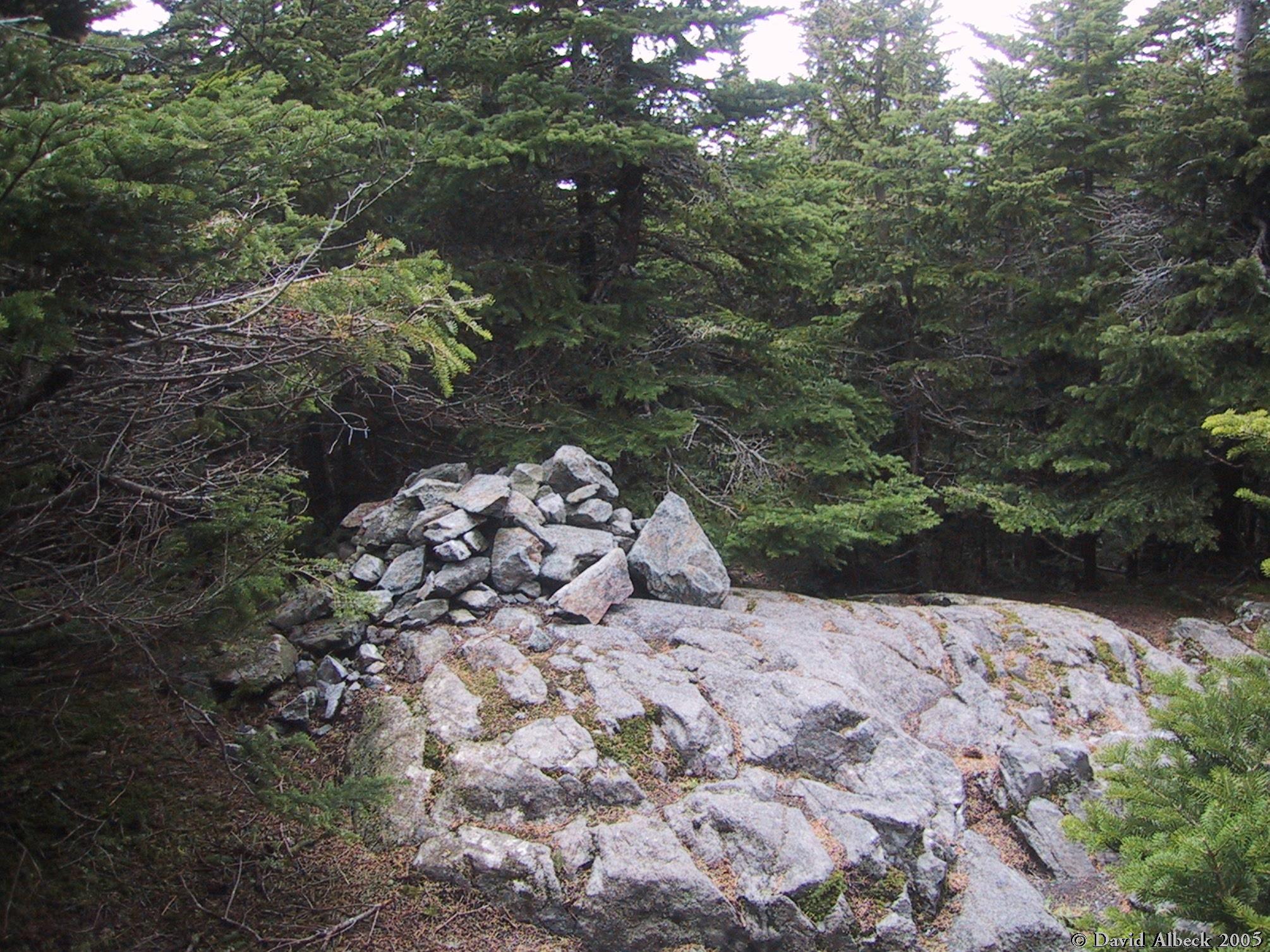
Garfield Pond. | |
|
More of Garfield Pond. | |
|
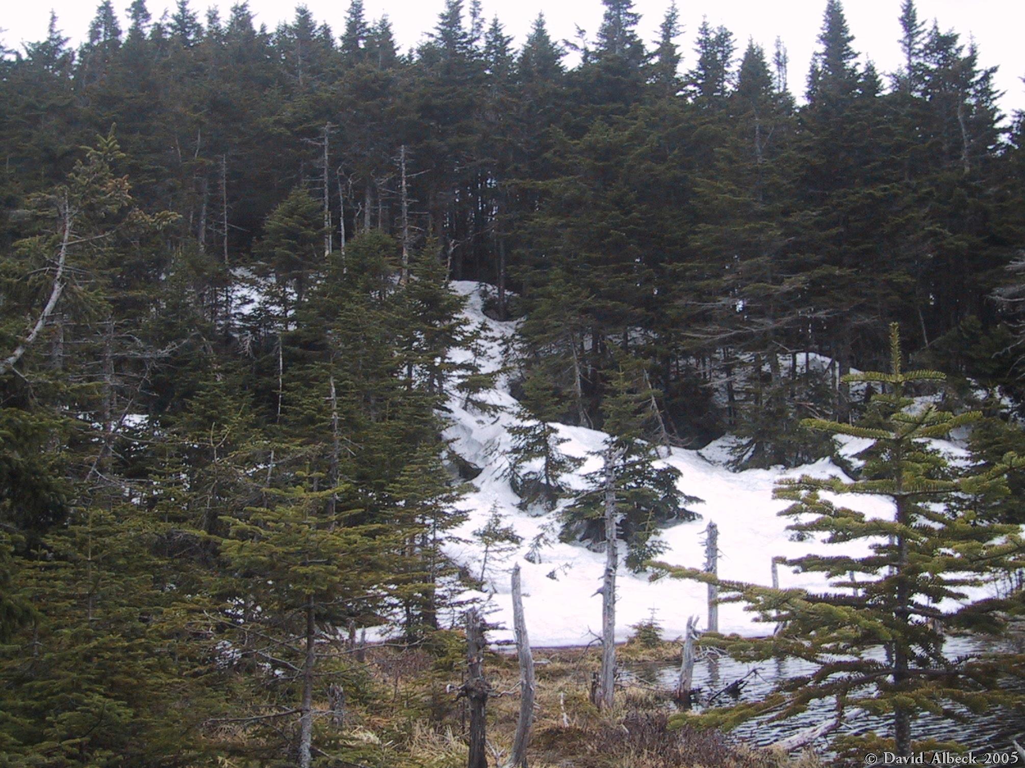
I didn't bother taking photos of snow-covered trails, so this photo is here to prove that there was deep snow in the areas below treeline. | |
|
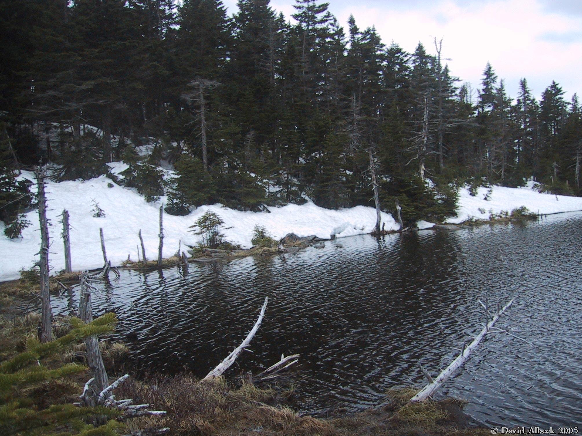
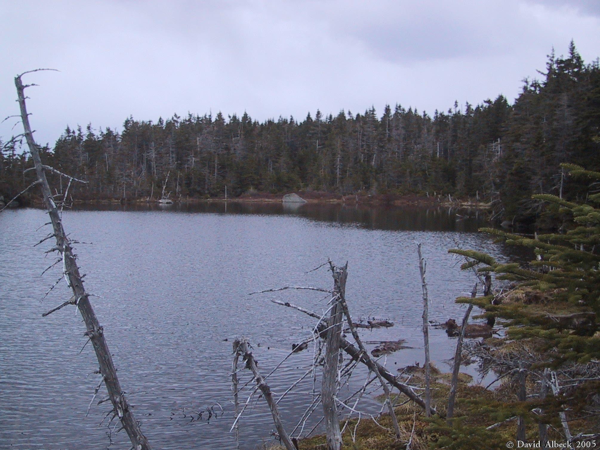
I can't seem to resist a good water shot... | |
|
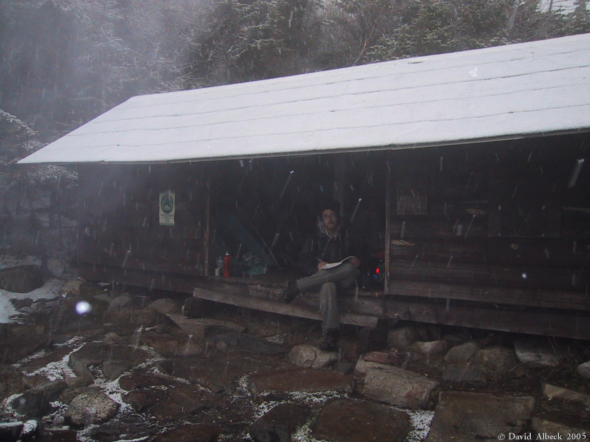
McRat signs the visitors' log at Garfield Shelter as the snow streams down. |
After spending a restful night with our tents tucked warmly inside Garfield Shelter, we continued east along Garfield Ridge to the Galehead Hut, where we briefly left our packs to climb Galehead Mountain, then attacked the west face of South Twin. I left my pack at the top and made a detour to North Twin, then backtracked. We then proceeded southeast along the Twinway to Mount Guyot, then south to the Guyot Campsite.
|
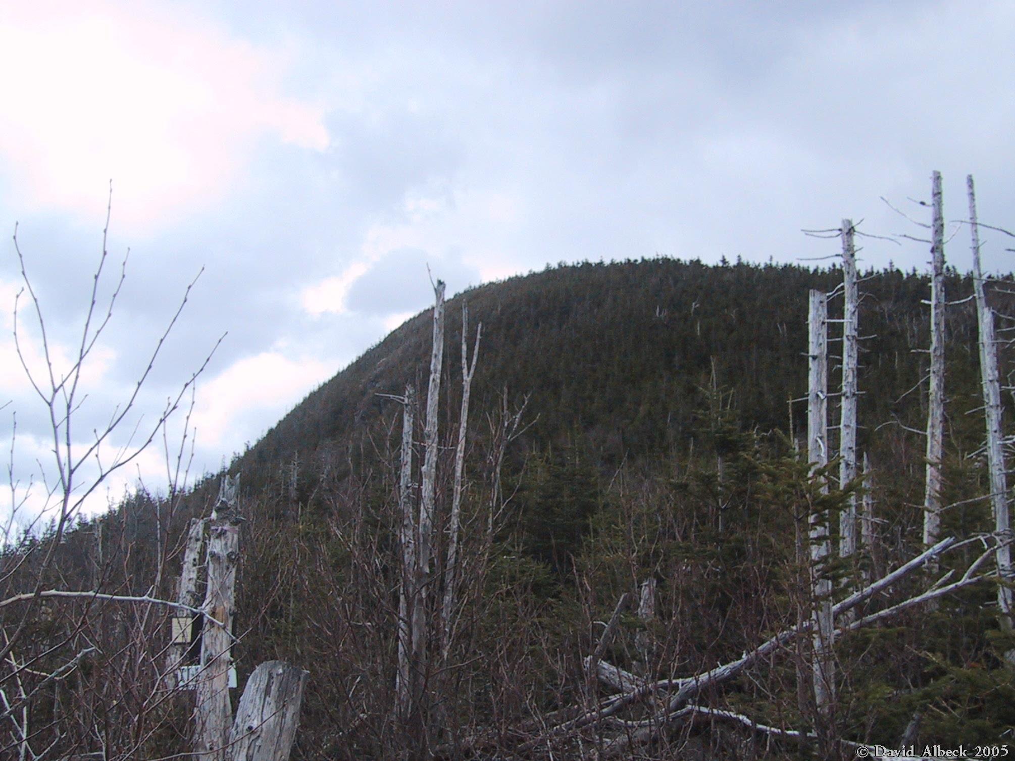
Galehead Mountain from just below it to the west. |
|
Galehead Hut on the col between Galehead Mountain and South Twin Mountain. |
|
North Twin Mountain. |
|
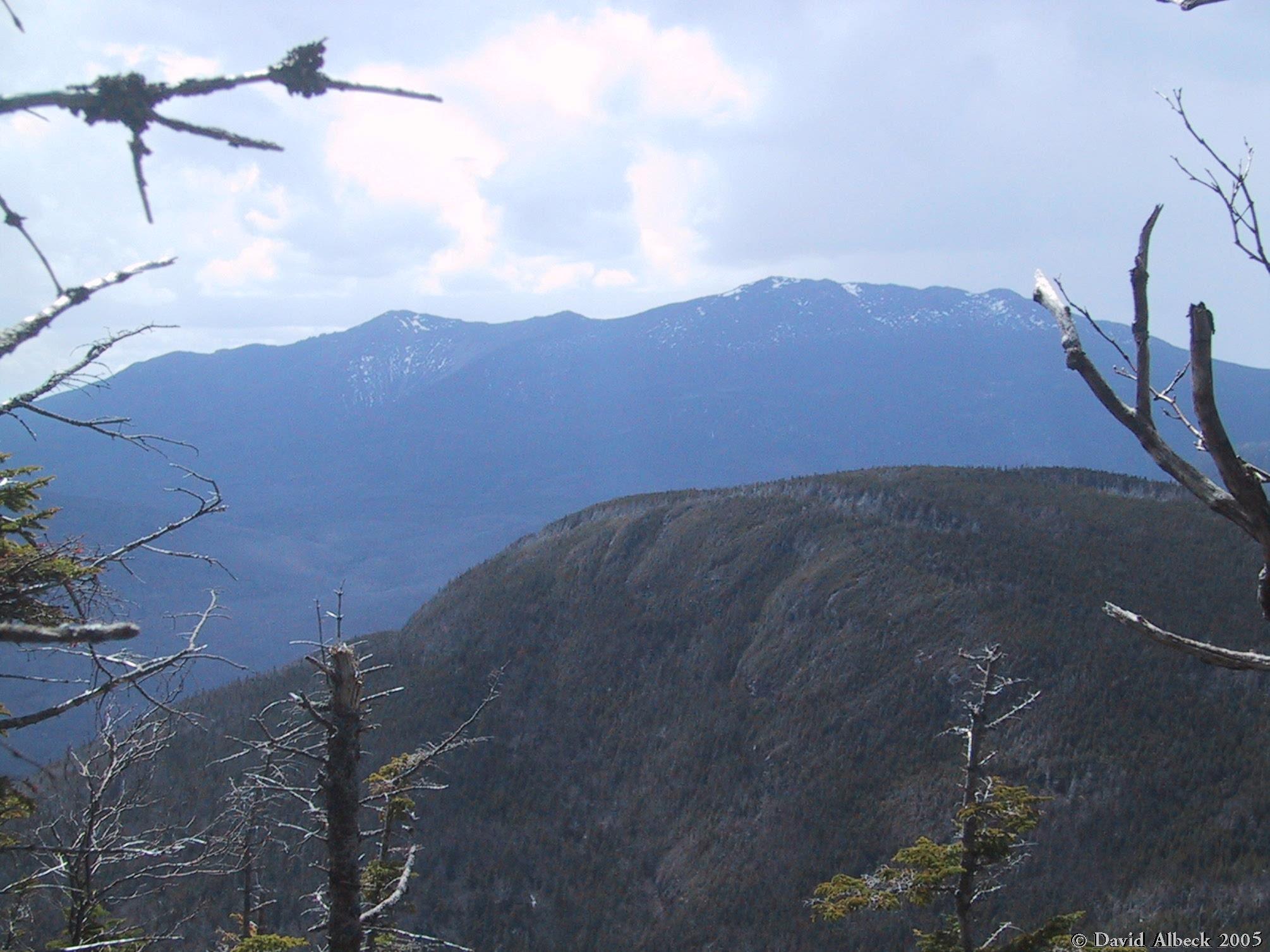
From the Garfield Ridge just below Galehead Mountain, a view southward along the western face of Owl Head. Mt Hancock in the distance. |
|
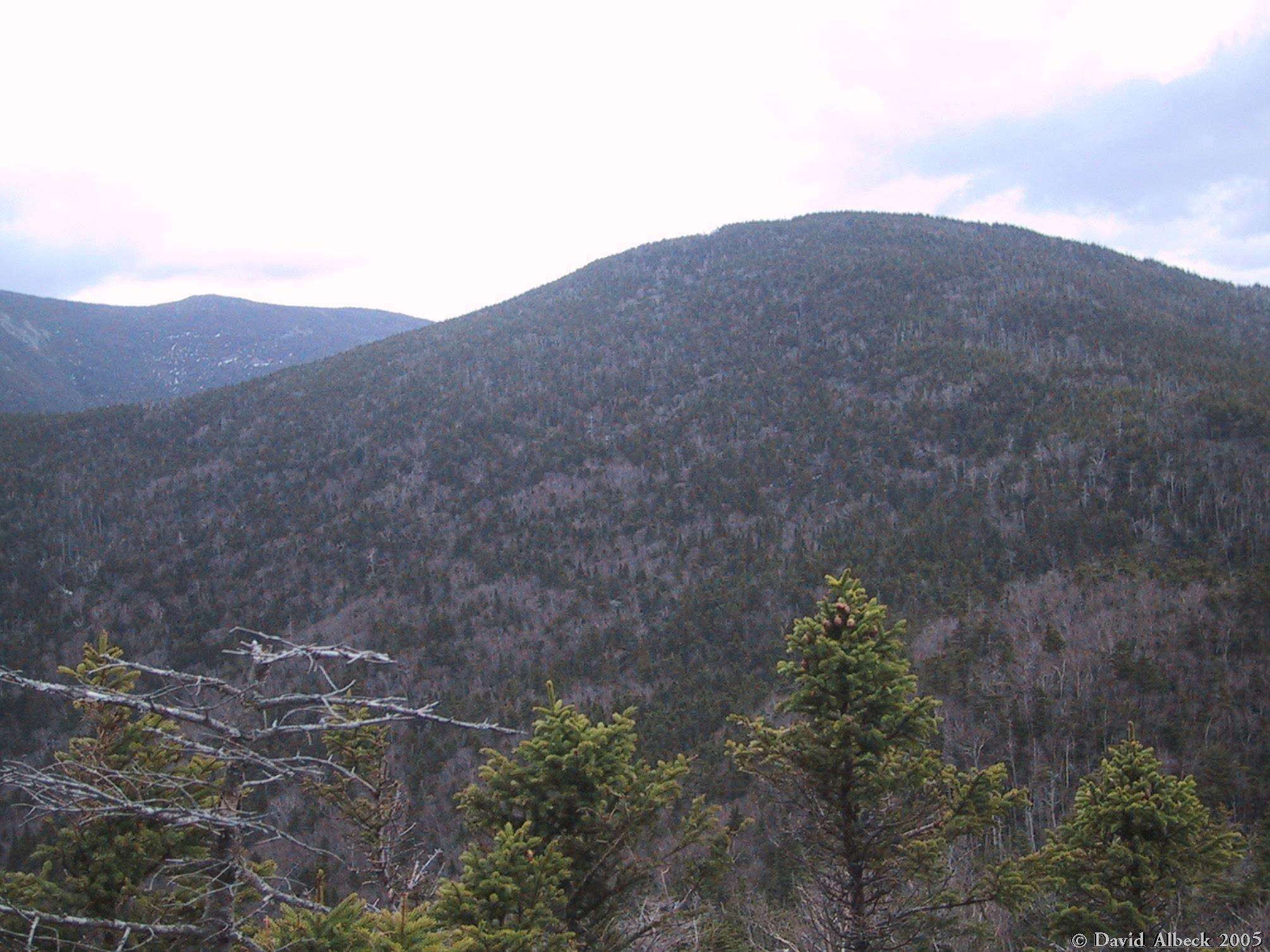
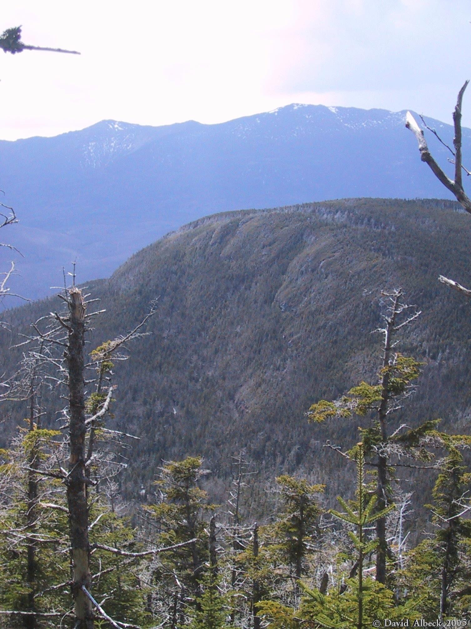
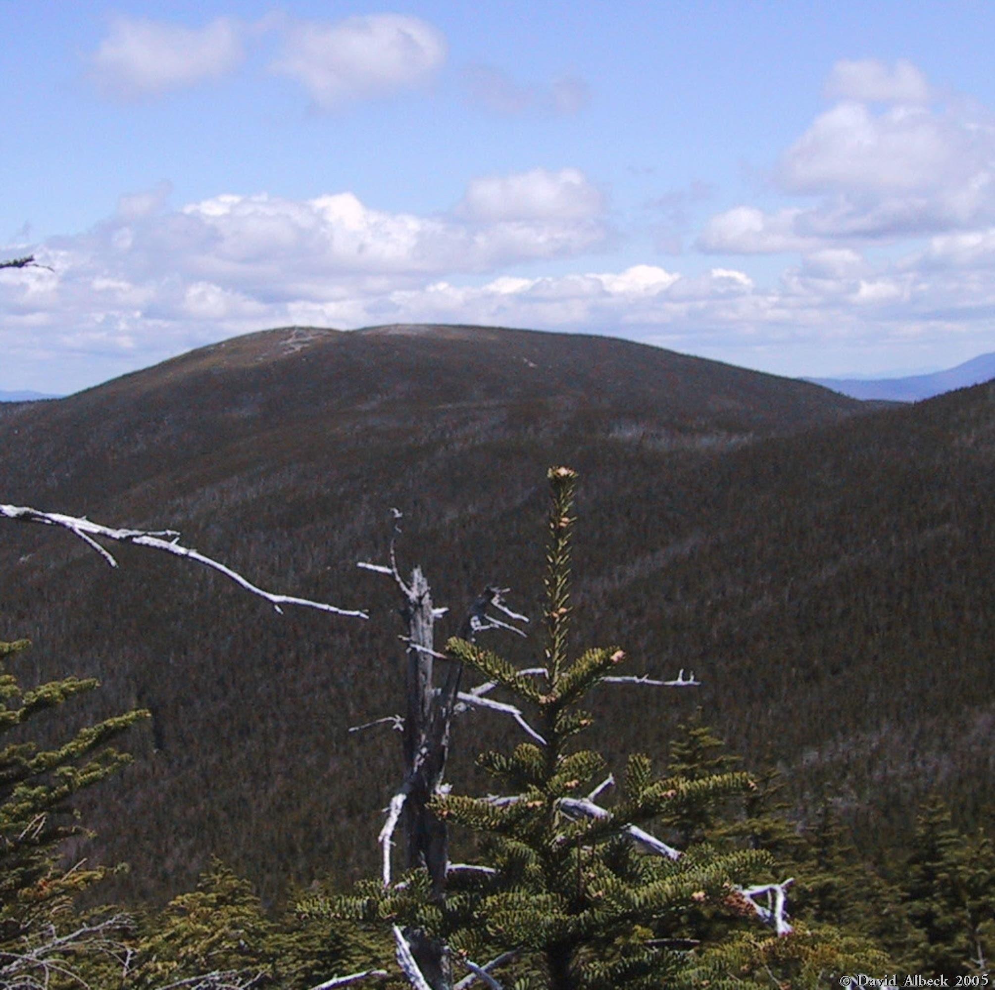
A view back west to Mt Garfield. |
|
North Twin Mountain from just outside the Galehead Hut. |
|
South Twin Mountain from the same spot. |
|
From the overlook on Galehead Mountain, view back to Galehead Hut (North Twin in the background). |
|
South Twin from the Galehead overlook. |
|
This is the summit of Galehead Mountain. |
|
View of Galehead Mountain from near Galehead Hut. |
|
From the west slope of South Twin, view back to Galehead Mountain. Franconia Ridge in the background. |
|
Same shot, different camera orientation. |
|
View back to Mt Garfield as I climb higher on South Twin. |
|
Mt Lafayette seen from South Twin. |
|
Proceeding higher up South Twin, the view opens up to include the Franconia Range from Little Haystack north to Mt Lafayette. |
|
North Twin Mountain, from near the top of South Twin. |
|
More of North Twin. |
|
Summit of South Twin, with Mt Washington in the distance. |
|
From the top of South Twin, view south-southeast along the Twinway. Guyot sunlit at center, Bond at right, Carrigain distant and shadowed just left of center. Passaconaway faint on the horizon at right. |

|
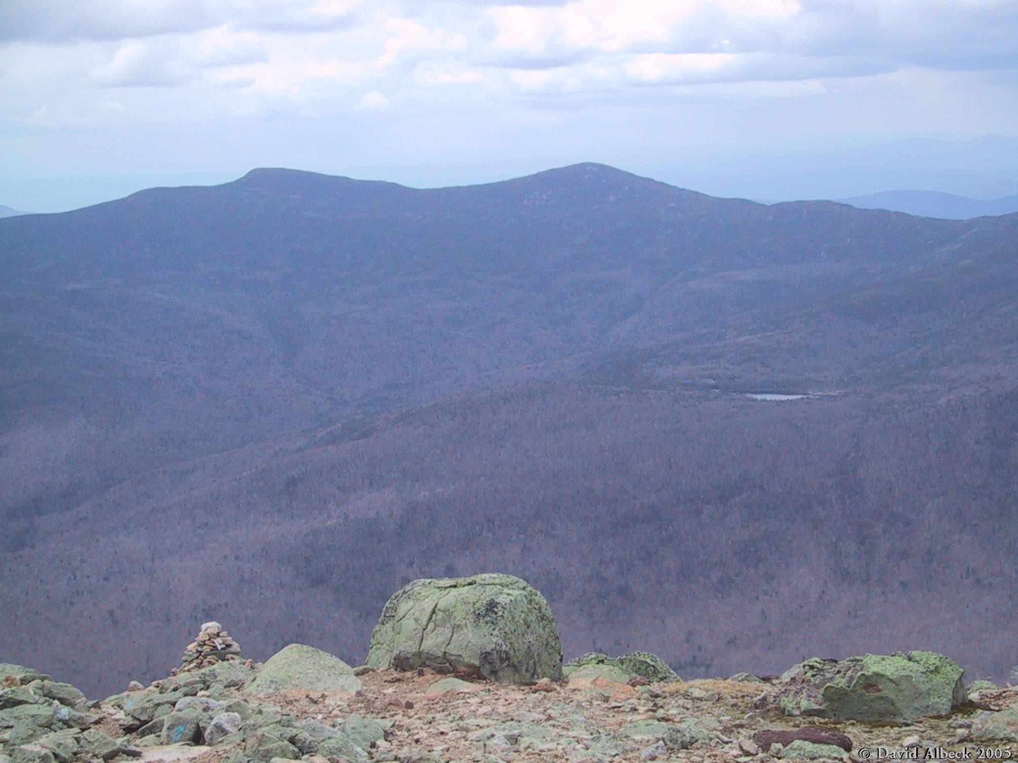
View due south from South Twin. West Bond at middle left. |
|
South Twin from just below it on the North Twin Spur Trail. |
|
View down to Galehead Mountain from the North Twin Spur Trail. You can see the Galehead Hut in the center, and Mts Liberty and Flume in the distance. |
|
South Twin seen from North Twin. |
|
View west to Garfield from the Twinway south of South Twin. |
|
Mount Guyot, with the Presidential Range in the background. Seen from Guyot's south peak. |
|
View east to the Willey Range, from Guyot. |
|
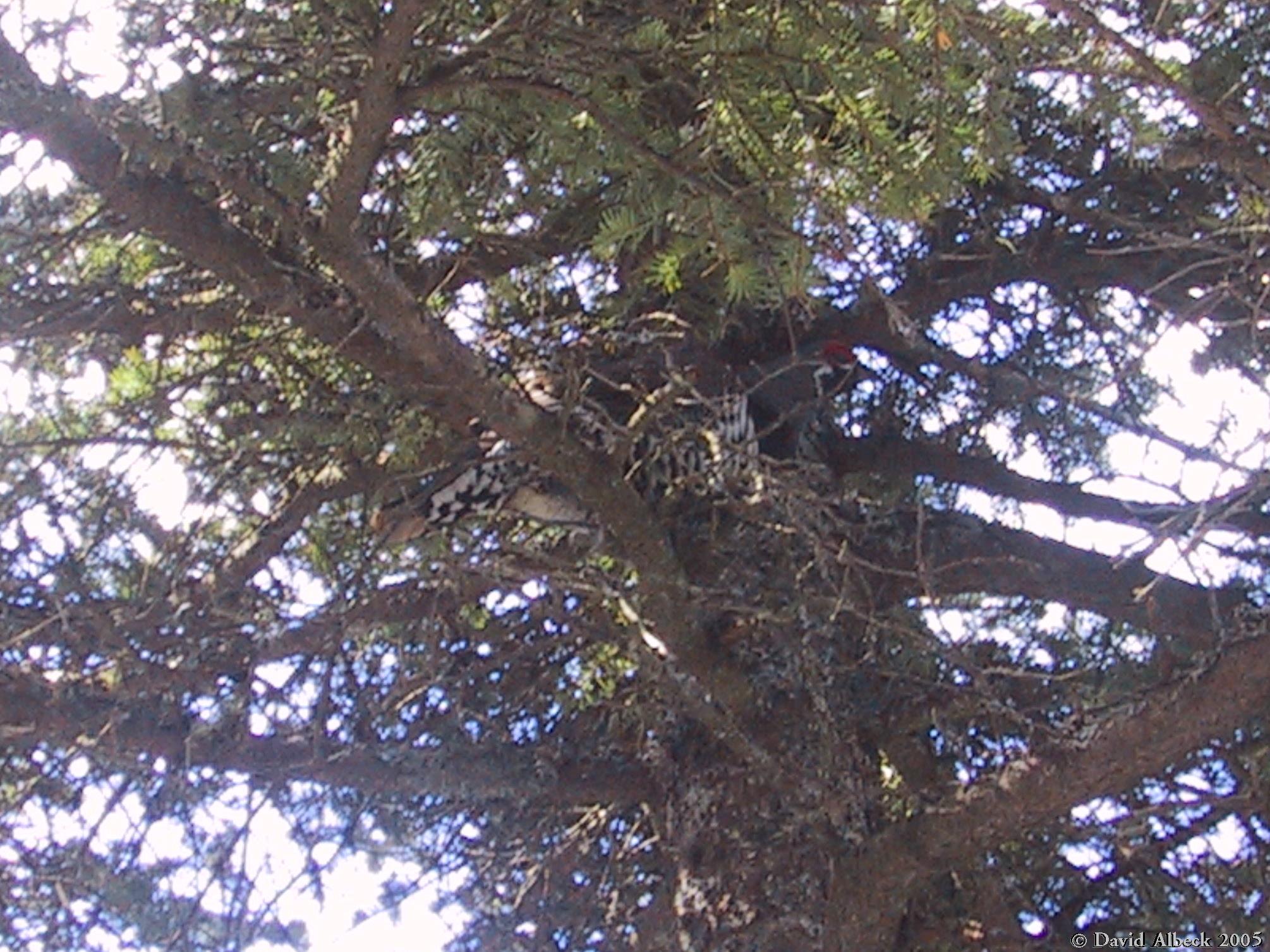
This was the third grouse we'd seen, but the first one I'd gotten close enough to get a photo of. |
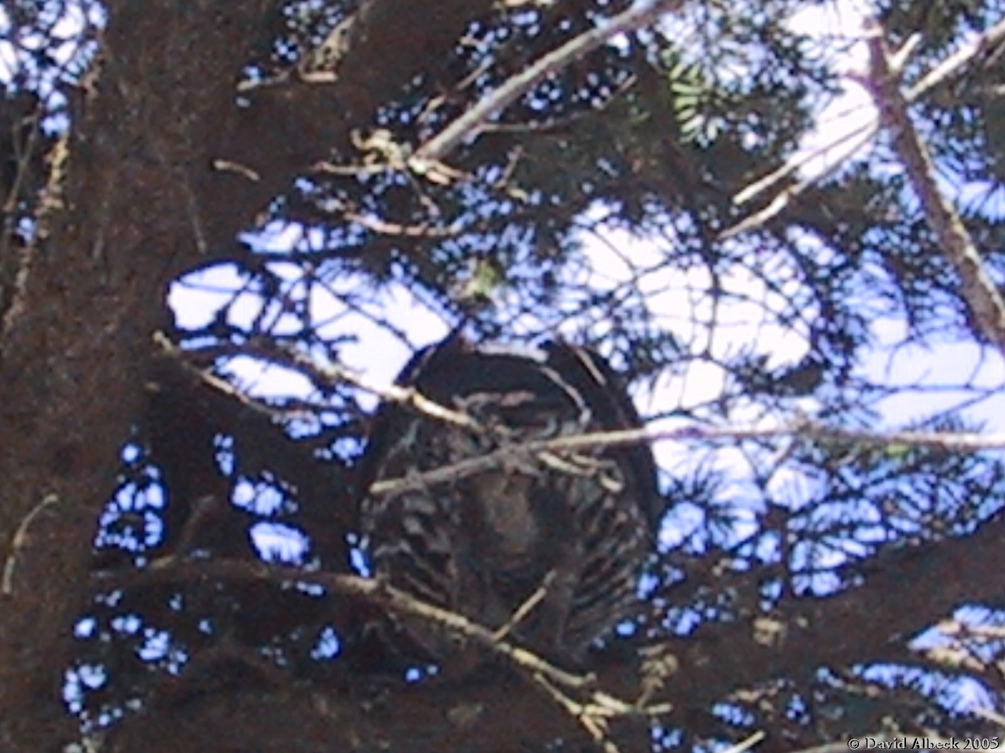
|
This grouse was showing me no respect! |
After a warm night in Guyot Shelter, we enjoyed fine weather for the hike over West Bond, Bond, and Bondcliff then out to the car via the Wilderness Trail.
|
Mount Guyot, from West Bond. |
|
Bondcliff, from West Bond. |
|
Mt Hancock beyond the Bondcliff Trail, seen from West Bond. |
|
View over Owl Head to Little Haystack, Mt Lincoln, and Mt Lafayette, from West Bond. |
|
Bondcliff, from Bond. |
|
West Bond, from Bond. |
|
Mounts Nancy, Anderson, and Lowell, and Vose Spur, from the Bondcliff Trail. |

|
Mount Bond, from the Bondcliff Trail. |
|
Mount Carrigain, from Bondcliff. Chocorua visible on the right horizon. |
|
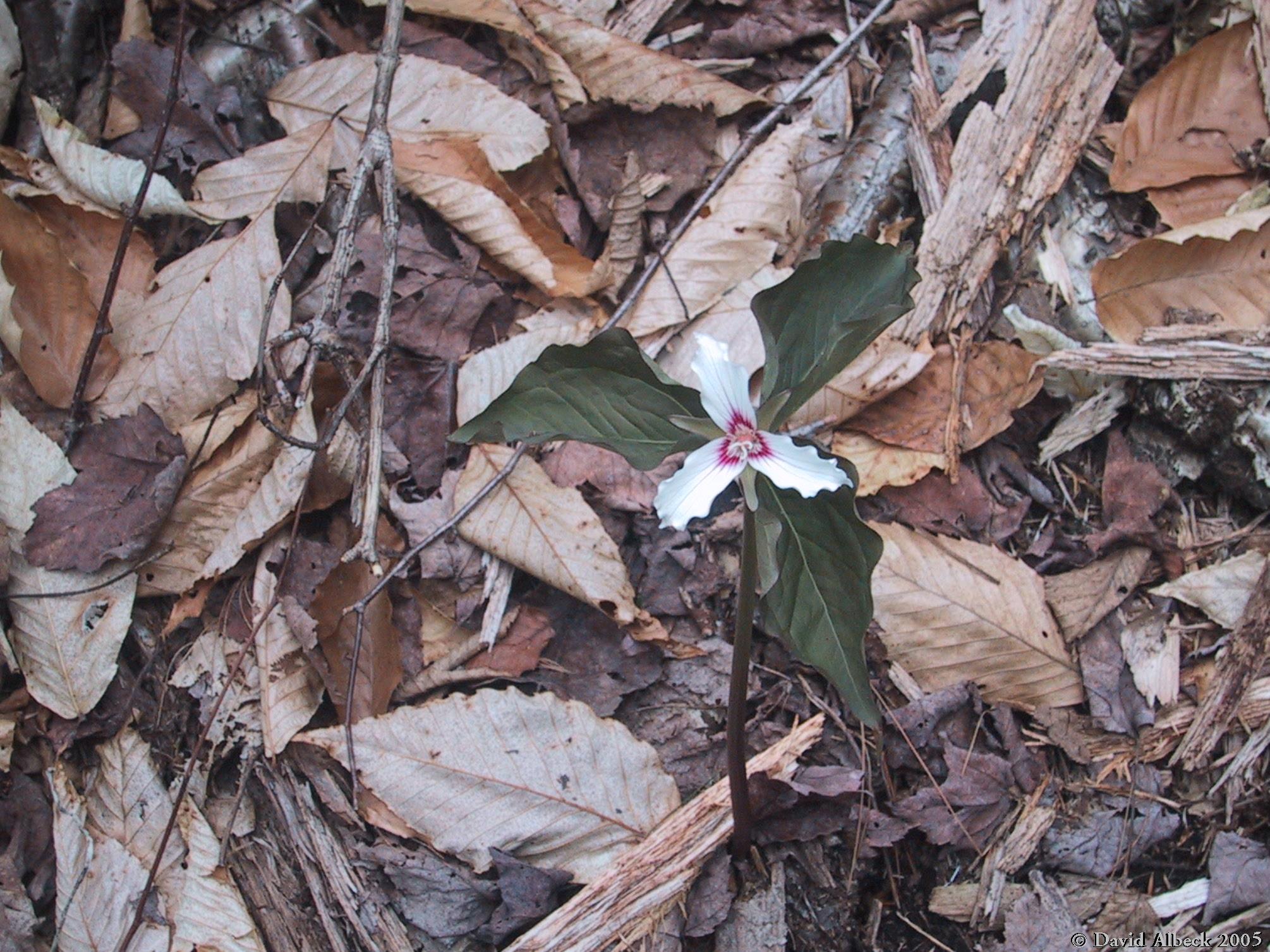
A trillium blooming on the Wilderness Trail. |