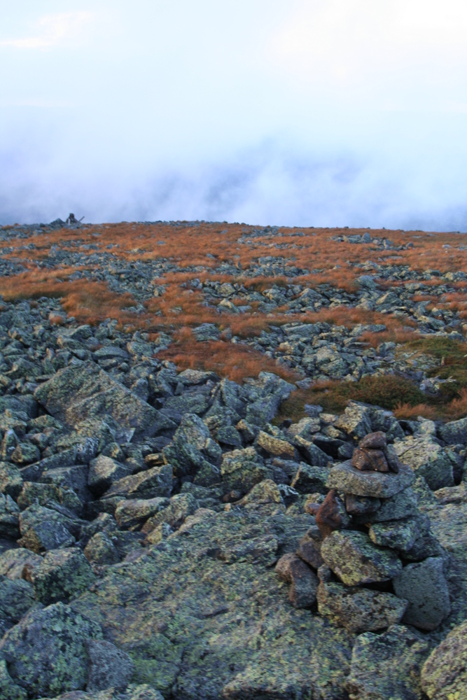
alpine zone
After parking at Lowe's store and exchanging a few pleasantries with the folks inside (the employee who showed me her photos of the recent helicopter rescue and regaled me with tales of other recent evacuations; an elderly couple with Maine license plates whose grandson was finishing his 48 on Garfield), I stepped onto the trail at precisely the crack of noon.
|
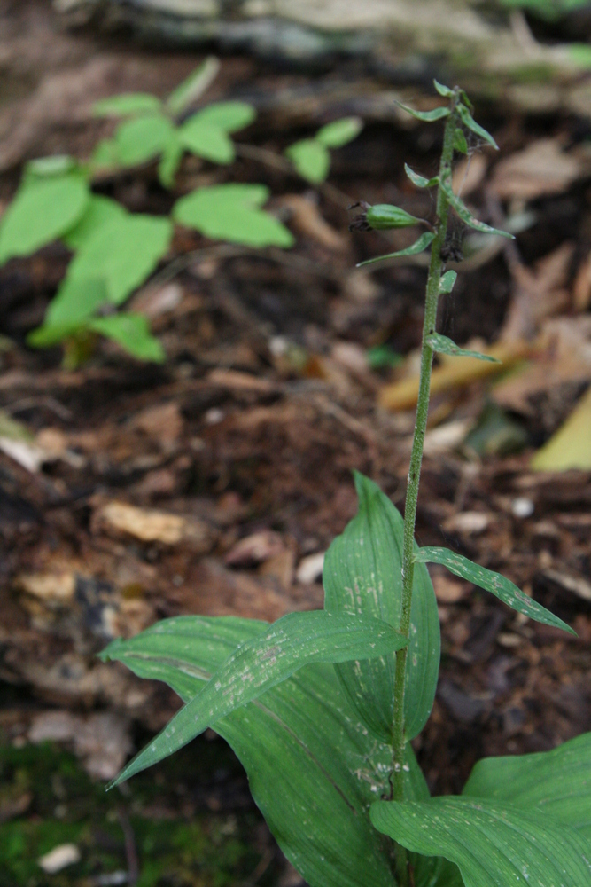
Orchid on the trail: helleborine with one fruit. |
When hiking solo on an easy trail, I allow my mind to wander. To my chagrin I found I had a song stuck in my head: "Airplanes".
Can we pretend that airplanes in the night sky
Are like shooting stars?
I could really use a wish right now
If Hayley Williams had been hiking beside me, I'd ask her what she meant by "pretend". Aren't airplanes already just like shooting stars, as far as wish-granting capabilities are concerned? As a matter of fact, aren't airplanes more effective than shooting stars at granting wishes that involve people travelling long distances? On the other hand, if you're wishing that a chunk of rock or metal would burn up in the atmosphere, then shooting stars are a lot more reliable.
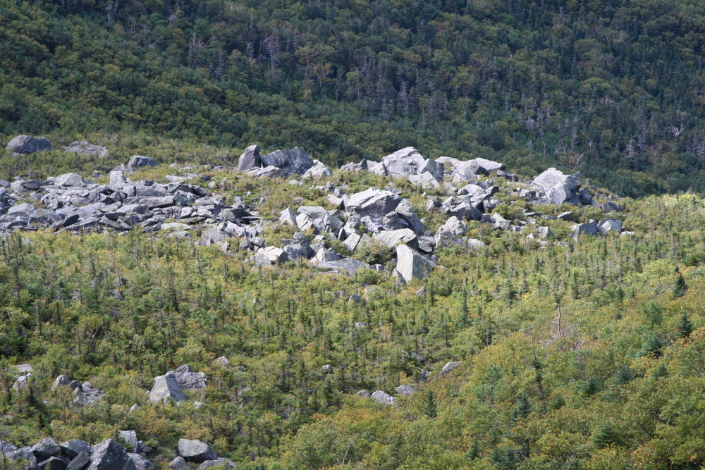
From Lowe's Path I took a left turn onto King Ravine trail. Passing over a slight bulge while still west of Spur Brook at 2900 feet, I was intrigued to see that all the trees were very small. I couldn't figure out what happened to the older trees. It's an unlikely spot for an avalanche, and there was no evidence of logging (there were some large stumps, but they were broken, not cut).
|
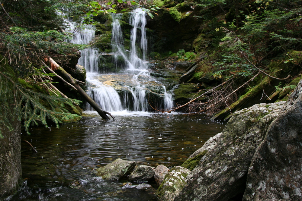
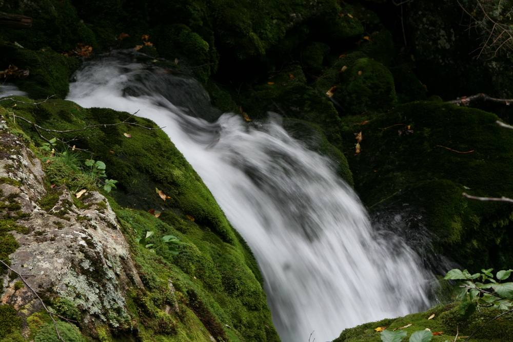
Remaining on the King Ravine Trail, I crossed Spur Brook... |
|
which became increasingly frothy... |
|
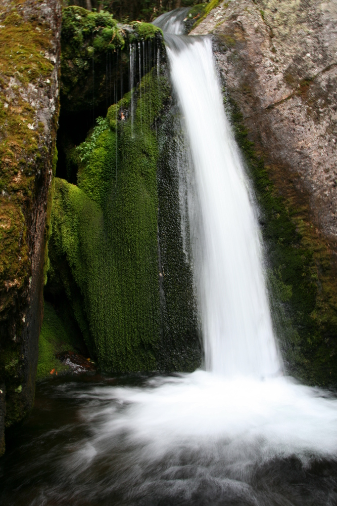
culminating at Mossy Fall. |
|
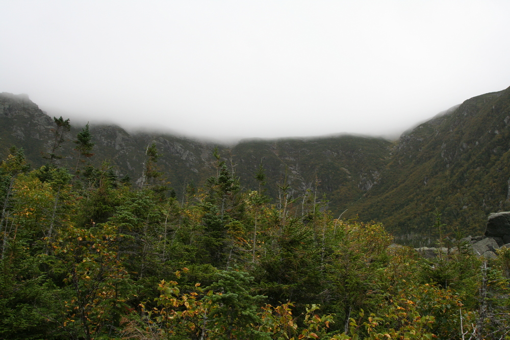
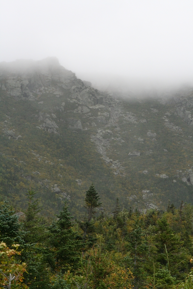
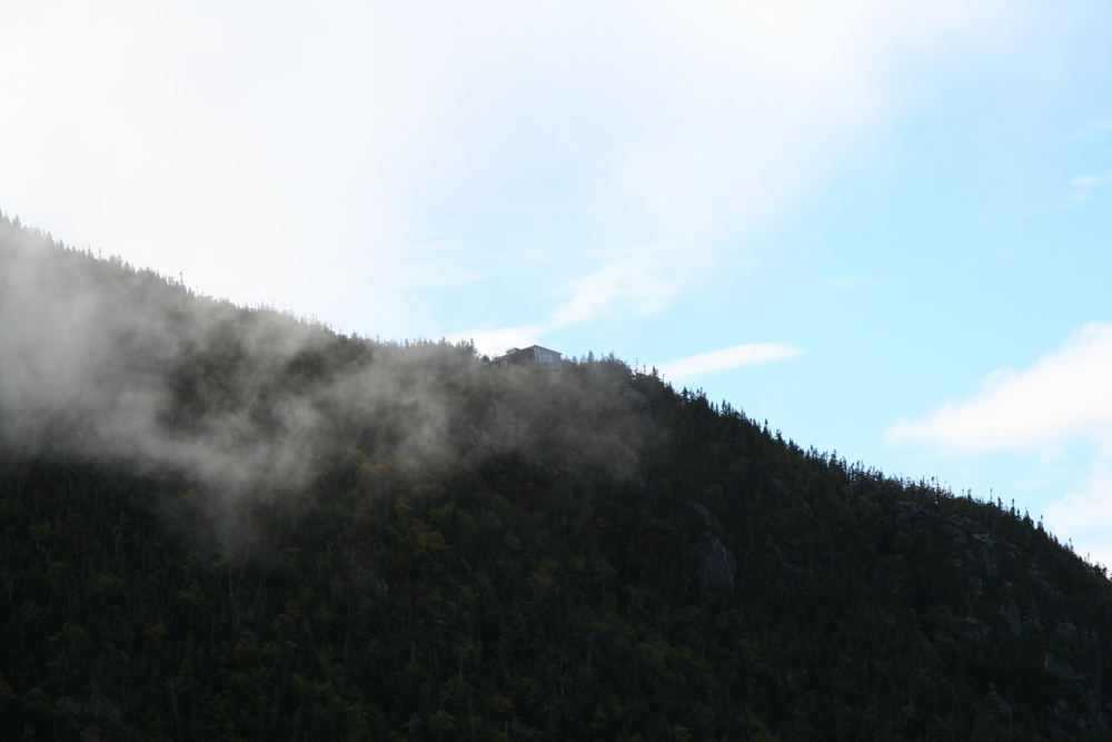
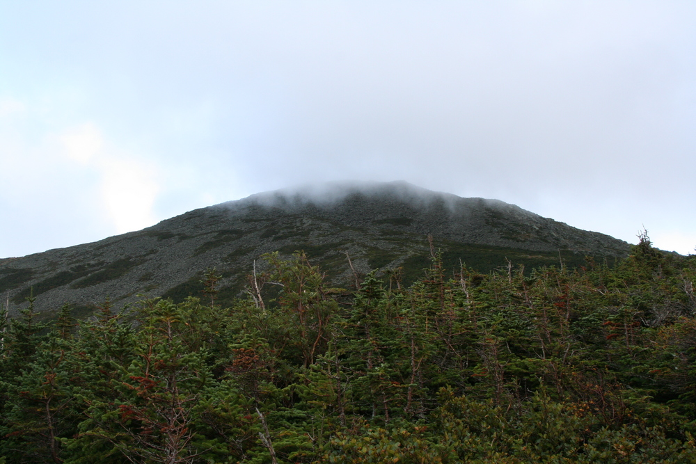
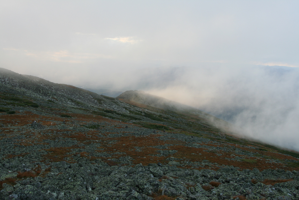
Shortly I had a view ahead. The clouds were low, but the weather seemed stable. |
|
I left my pack by the trail while I climbed out onto some giant boulders to get a better view, and that's when it started raining. Then it started pouring. |
|
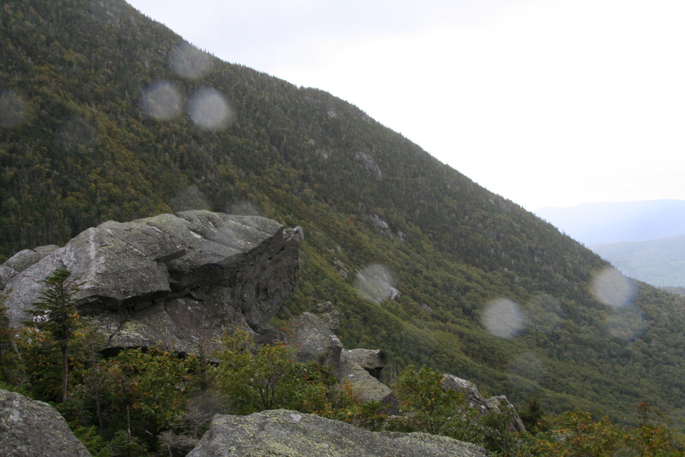
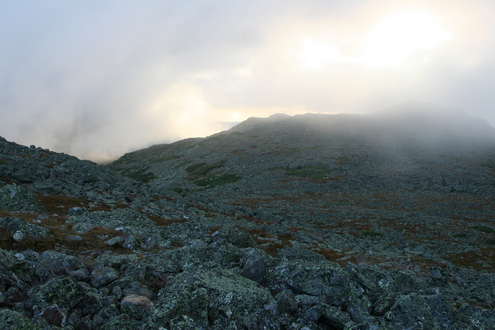
Soon I was at the Upper Jumble, and I had a decent view of the Chemin des Dames, and Durand Ridge at its top which was out of the clouds. |
|
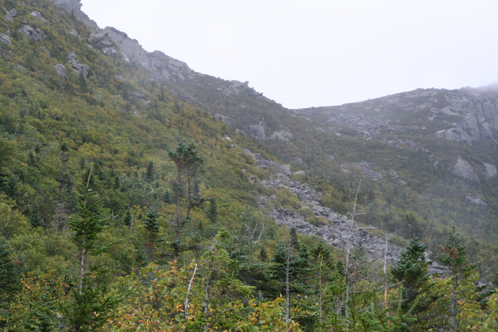
I could only see part of the King Ravine Trail, due to heavy clouds which probably indicated wet rock. It's the Chemin des Dames for me. |
|
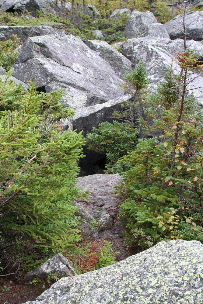
But first I took a short detour to the entrance to the Subway. It looked like fun (and the interior was still dry), but I was anxious to make upward progress before the rain returned. |
|
The sky to the north seemed to be clearing, but I didn't know how long that would last or what clouds might be hiden behind Norwell Ridge. |
|
Once I'd started climbing up Chemin des Dames, the sun broke out. |
|
Here's a photo of the Lower Jumble in sunlight. |
|
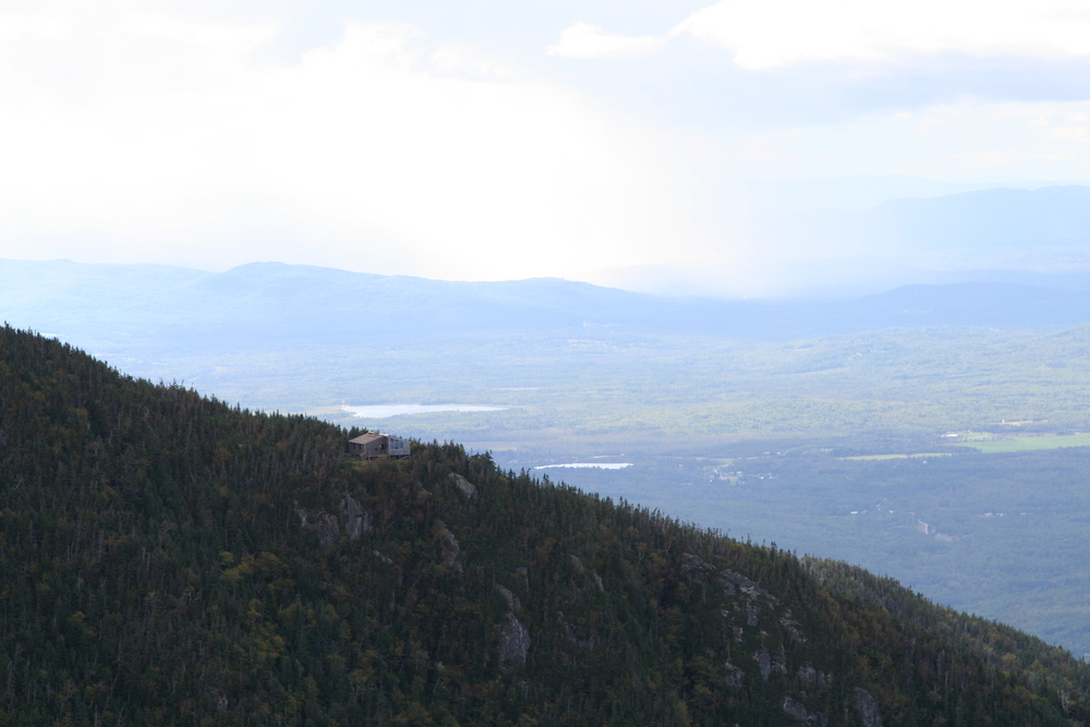
Soon the clouds were lifting far enough that I could see Crag Camp. |
The rocks weren't quite dry, though, and anyway my hiking stick is a plain wooden broomstick, with no rubber or metal tip to give it any grip on rock. I was leaning on the stick with my right hand when it slid out from under me, pitching me to the right. I caught myself on a boulder with my right hand, pushed off in almost a one-handed pushup, grabbed my hiking stick before it vanished downhill, tossed it ahead to safety, and caught myself with my right hand again. Thinking about it immediately afterward, I thought it must have looked pretty cool. But then I remembered the strange noise that had escaped my lips during this process - kind of a yelp, squeal, grunt, and moan all at once. I told myself that maybe, someday, the noise would be cool too. Maybe it would even be adopted as the kiyai of some esoteric school of kung fu.
Close-up of a length of heavy chain, loosely held in a burly fist. Pan at waist height while slowly zooming out, to reveal an assortment of clubs, knives, and similar weapons, held in a casually threatening manner by a gang of ruffians dressed mostly in black. As the camera retreats we see that the gang has cornered a slim young man dressed in white. The man in white drops into a martial arts stance. The gang members all laugh and raise their weapons. Then the young man gives a high-pitched, squealing, moaning, cry. Cut to weapons clattering on empty pavement as the gang members take to their heels - all except one rather thick-looking fellow. One of the other gangsters pauses his flight long enough to yell to him: "He knows Broomstick Style! RUN!"
|
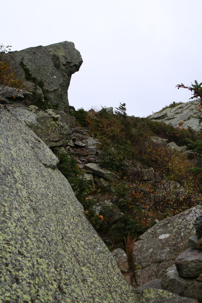
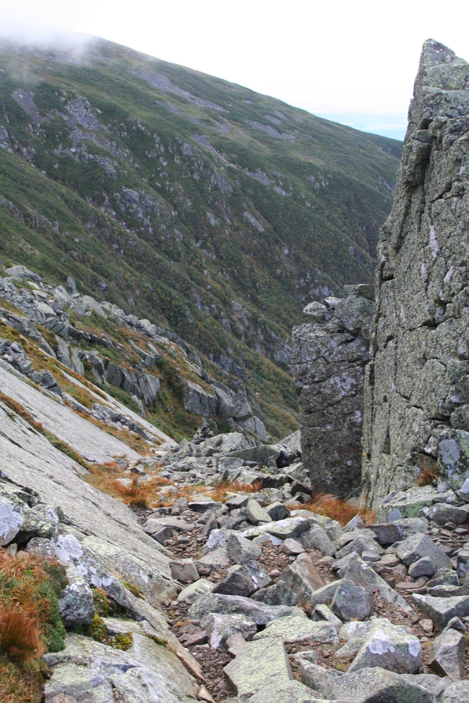
Anyway, the Chemin des Dames was a fun scramble. Near the top there was a little keyhole to squeeze through, followed by a miniature catwalk; and then I could see the top of the trail. |
|
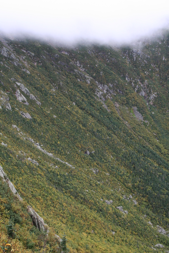
A view of the King Ravine headwall from the top of Chemin des Dames. |
|
The longer I delayed, the more the sky cleared. Mt Madison became visible for the first time. |
|
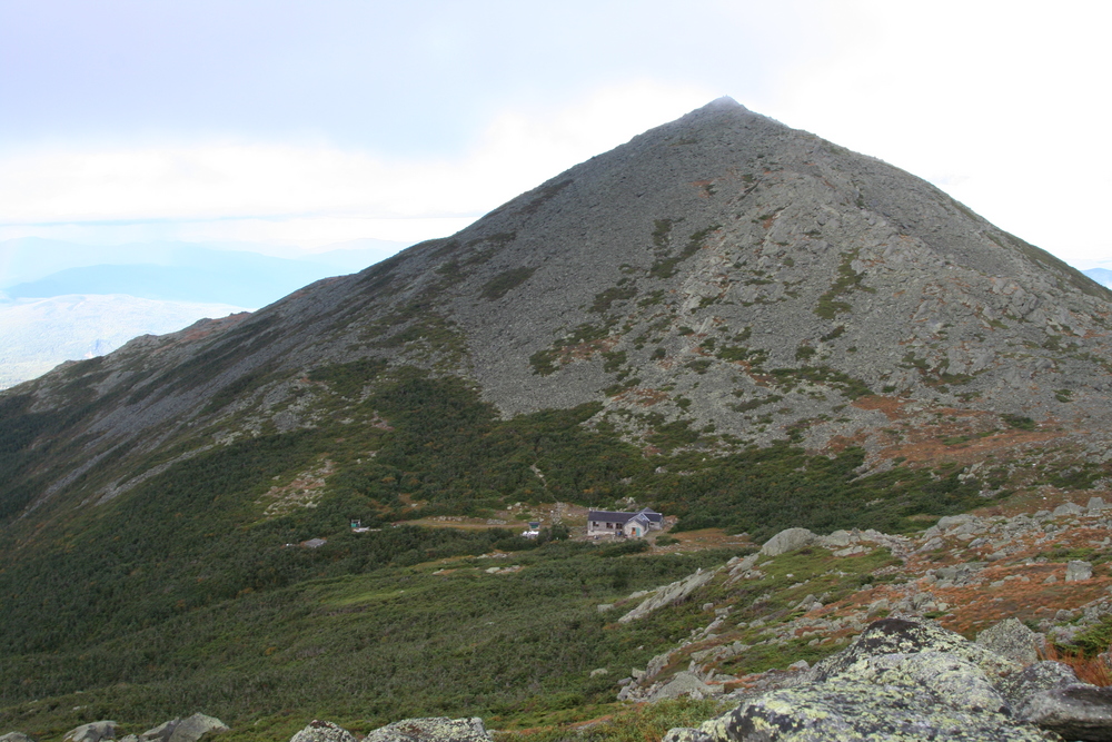
I had a good view of Crag Camp. |
|
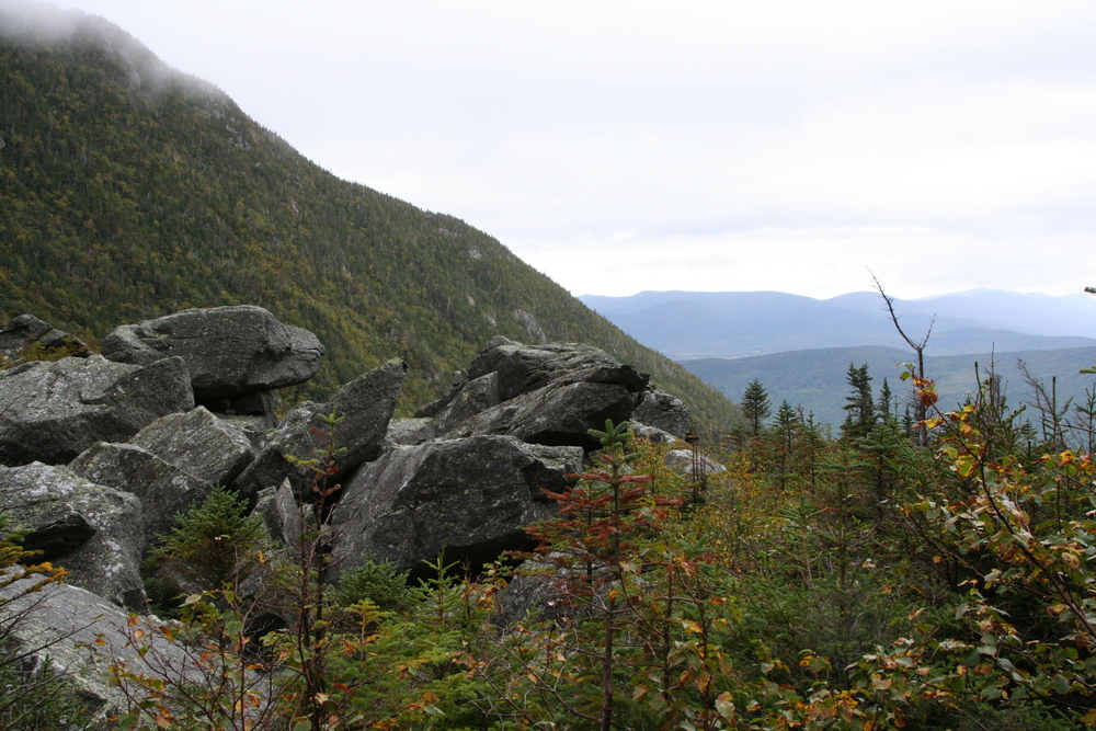
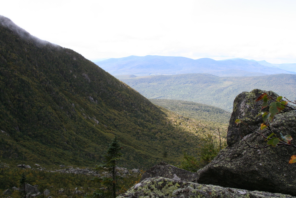
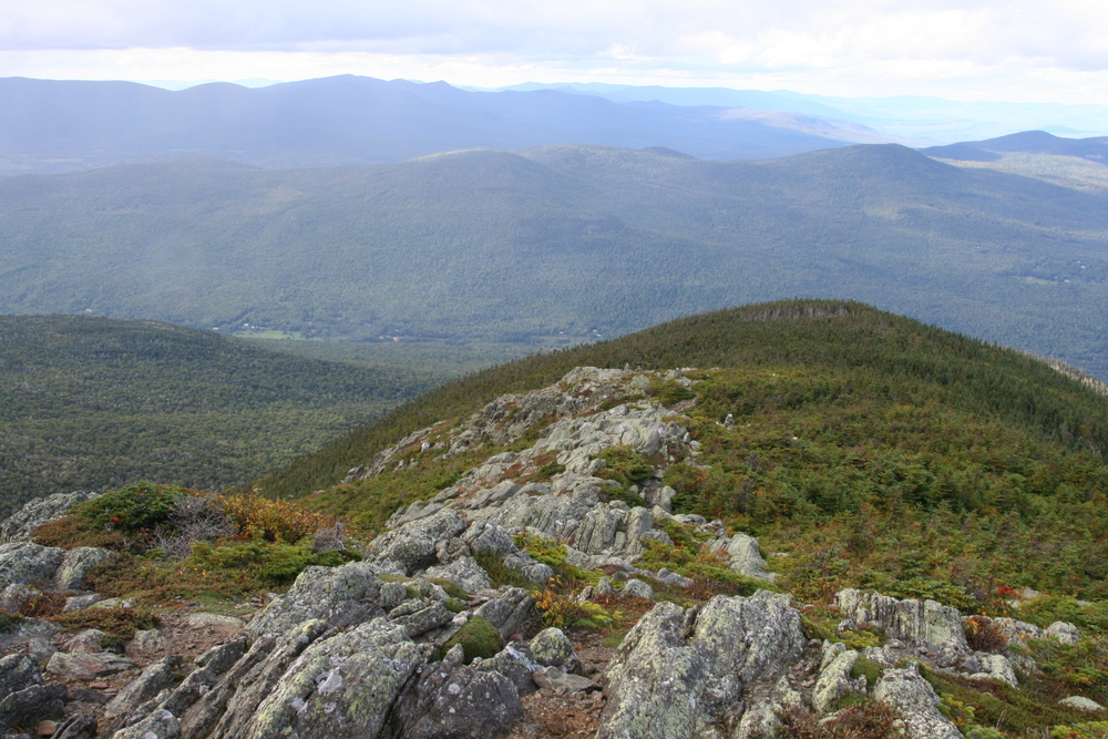
And of course a view down Durand Ridge toward the Crescent and Pliny Ranges. |
|
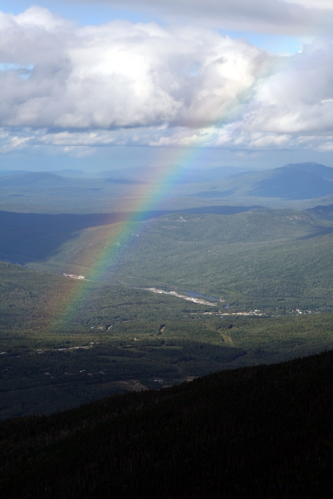
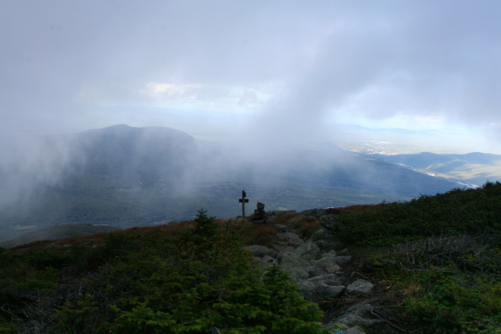
Passing showers made a rainbow over Gorham. |
|
As I climbed, the wind remained strong but not dangerous (it was blowing me away from the ravine), and the clouds continued to lift until Mt Madison was almost completely sunlit. |
|
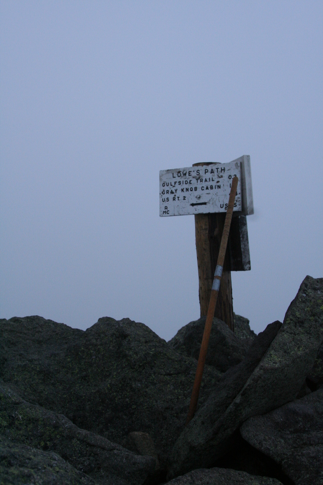
When I passed the top of the King Ravine trail it was in the sun, and nearly dry. |
|
Once I crossed the Gulfside trail, however, I was heading into the clouds. |
|
For a while I could still see the clear air below me. |
|
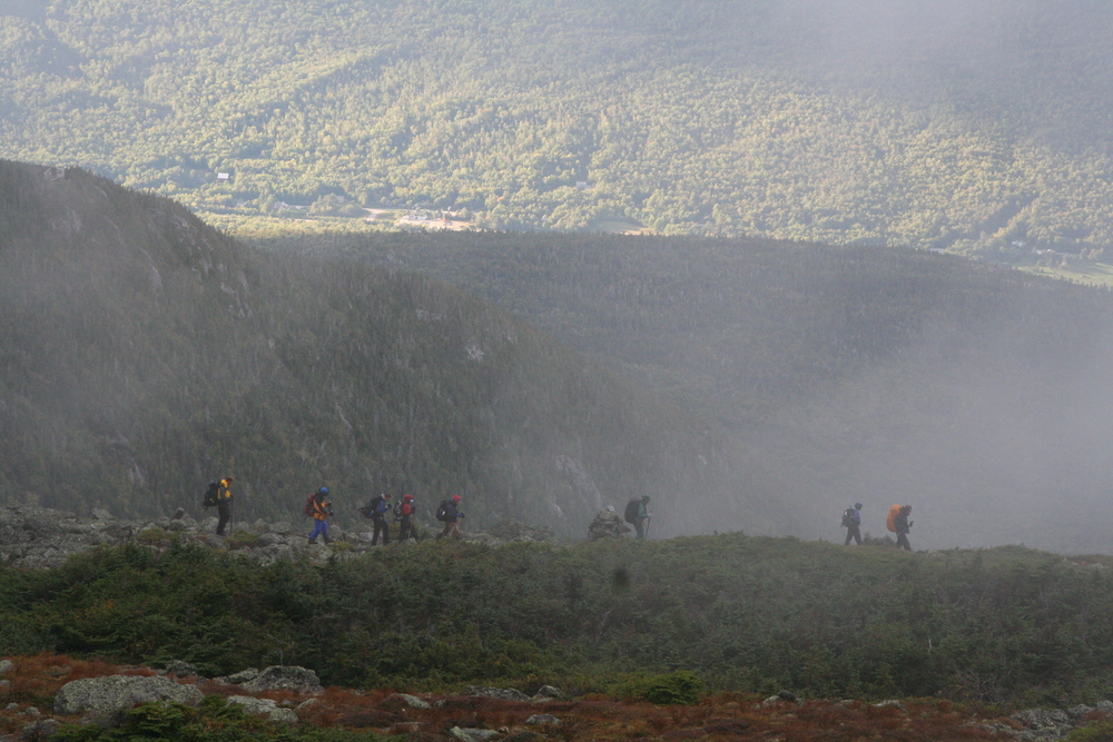
A group of hikers passed below without seeing me. |
|
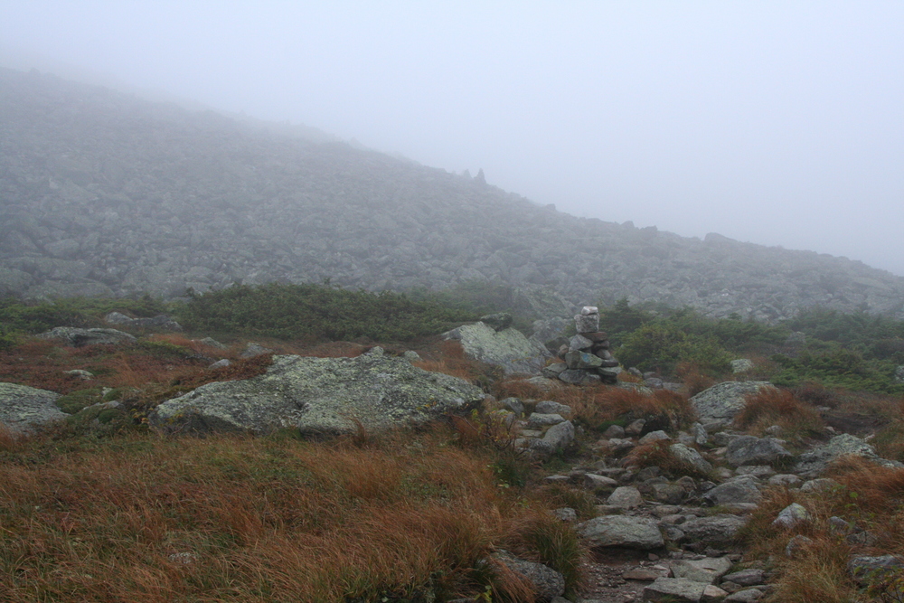
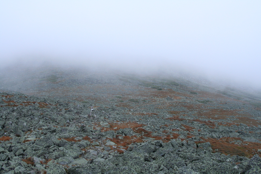
The summit was completely fogged in, and had the fiercest wind yet |
|
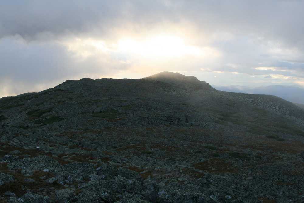
Beginning my descent. Luckily the wind began to diminish. |
|
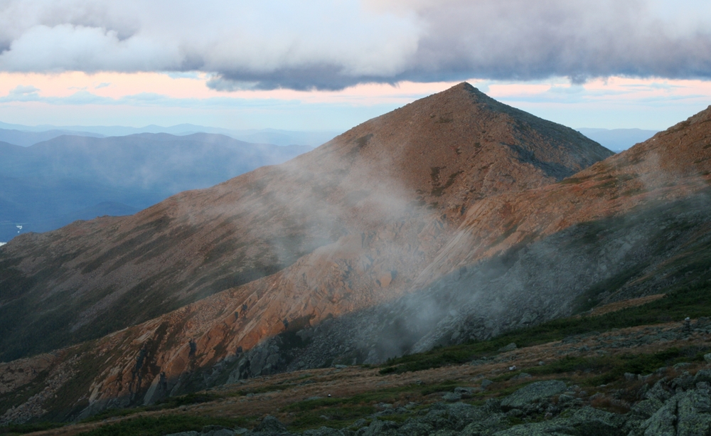
Sunshine breaking through over Sam Adams peak. |
|
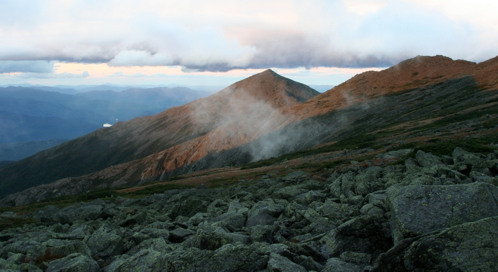
My route: down to Adams 4 peak. |
|
More sunlit clouds over Sam Adams. |
|
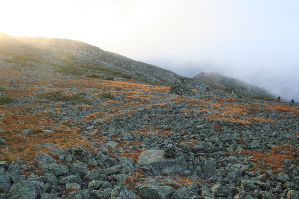
Golden light at Thunderstorm Junction. |
|
|
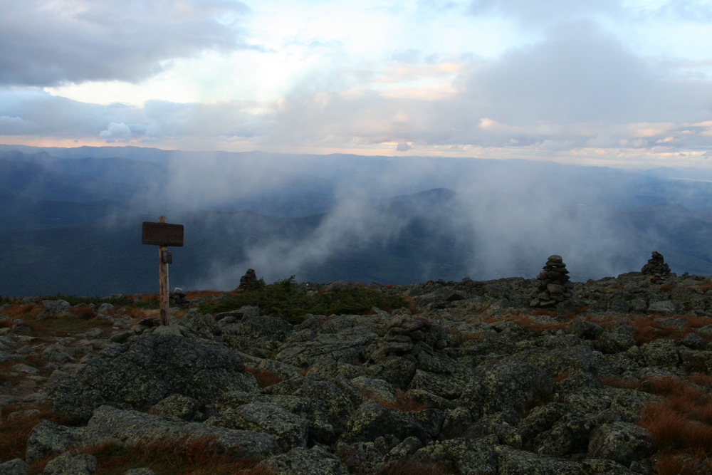
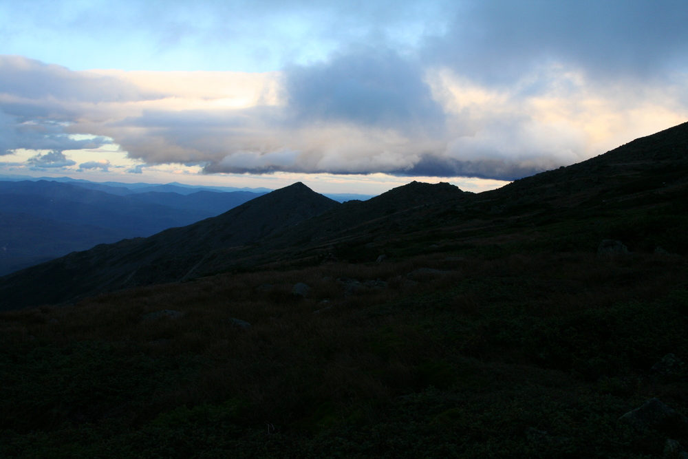
I love the alpine zone in the evening! |
|
The light was beginnning to fade... |

|
View to Mt Madison and J. Q. Adams peak. |
|
Madison as silhouette. |
|
I did pause long enough to shoot Mt Madison in sunset light. |
|
Madison and J.Q. Adams in the last of the direct sunlight. |
I reached treeline just as it got dark, about 8:30. Congratulating myself on my timing, I put on my headlamp and headed down the trail. I'd forgotten that Lowe's Path is annoyingly damp and slabby from treeline down to about 3000 feet. After a few slips, I had to slow down, barely managing one mile per hour over this section of the trail, and cursing my choice of footwear once again. I made up only a little time in the lower stretches and reached the trailhead about 11 PM, the end of a great day in the mountains.