A slight change of format: photos (linked to from the thumbnails) are provided at full resolution but presented within < IMG height=100% > tags so they should scale automatically to fit your browser window (while preserving aspect ratio).
Photos are organized by date, with a bit of narrative for each day.
If you're in a hurry, see my short list of thirteen of my favorite photos from this trip.
See also Michal's photos of this trip.
|
|
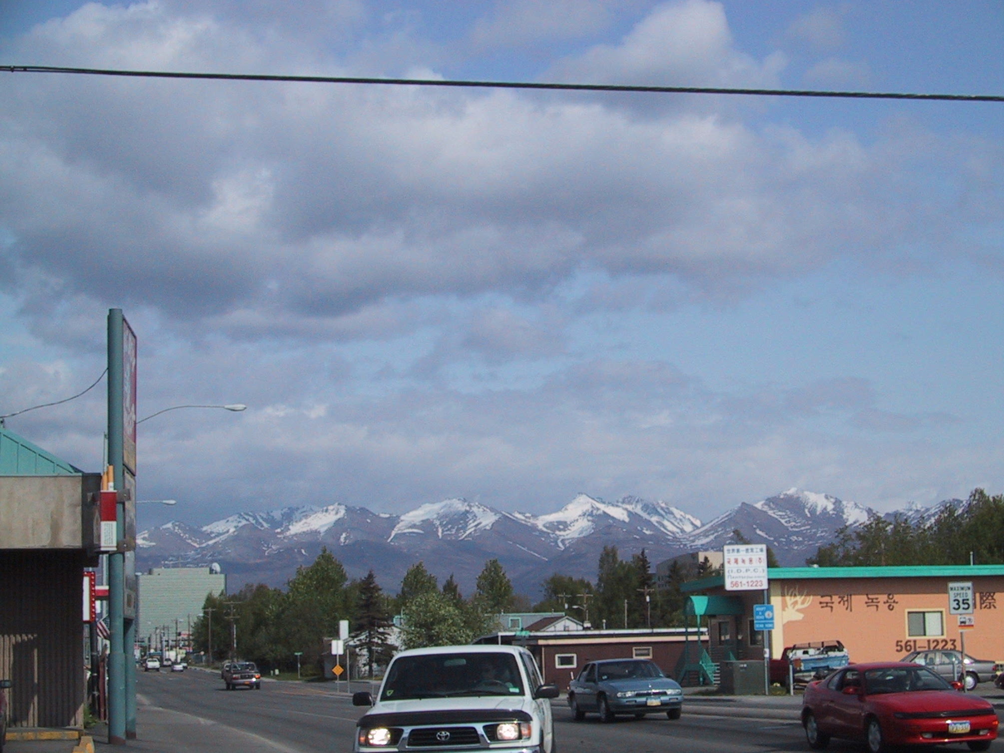
Downtown Anchorage, with view of the Chugach Mountains. These mountains come right down to the coastline (except for the peninsula on which Anchorage sits); the view from the airplane is dramatic. |
|
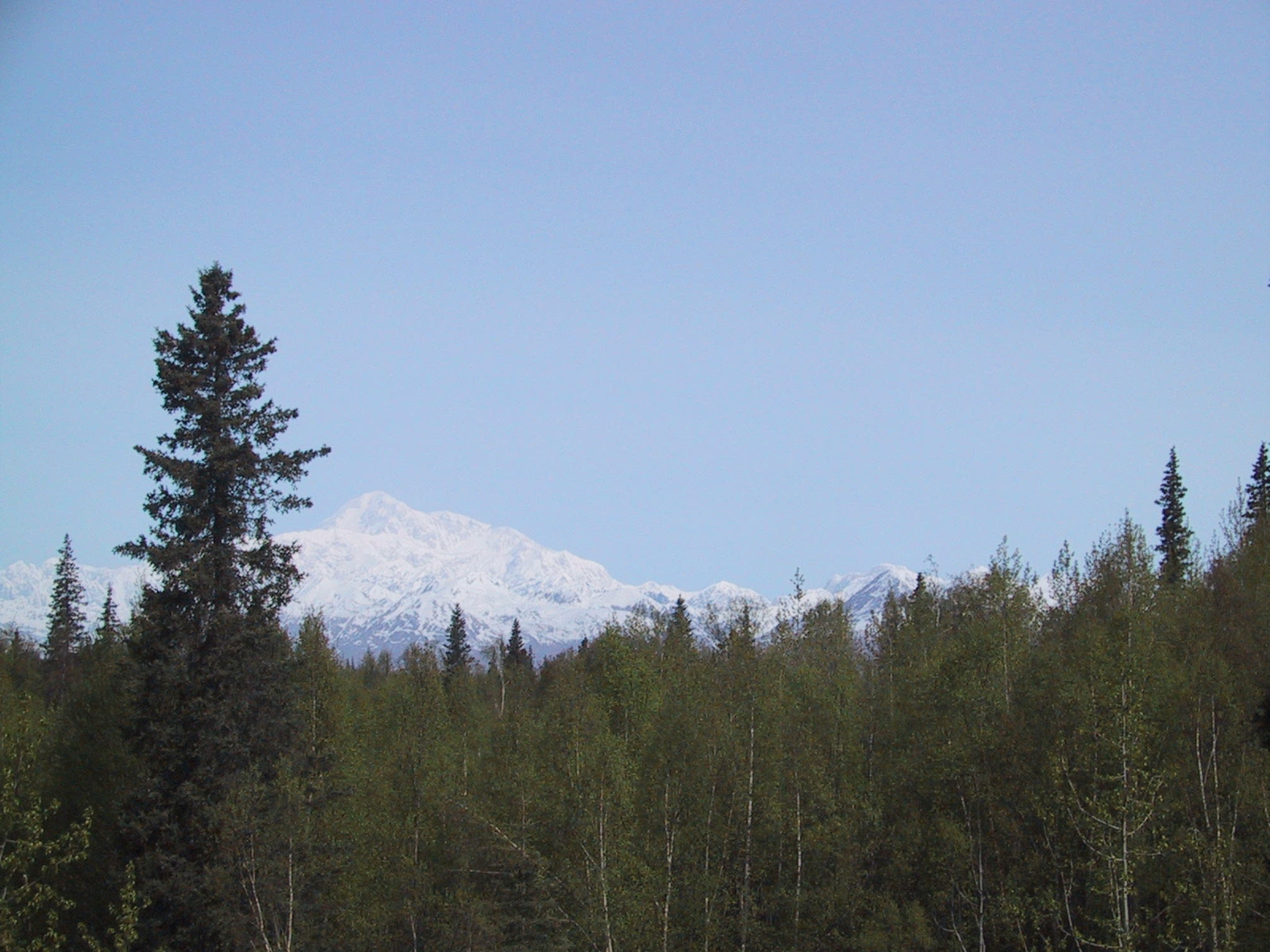
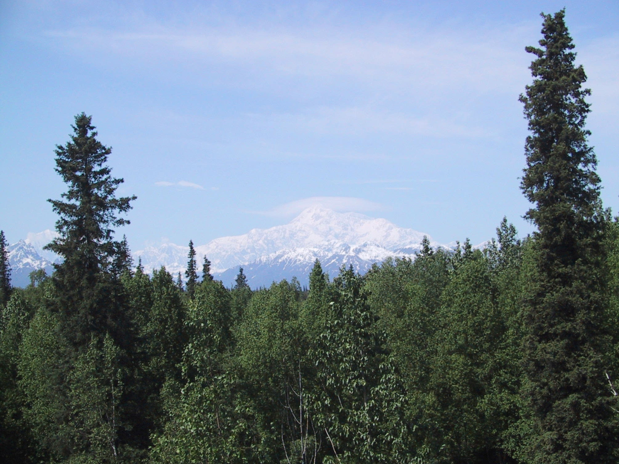
First view of Mt Denali. Taken from Mary's Restaurant along the highway. |
|
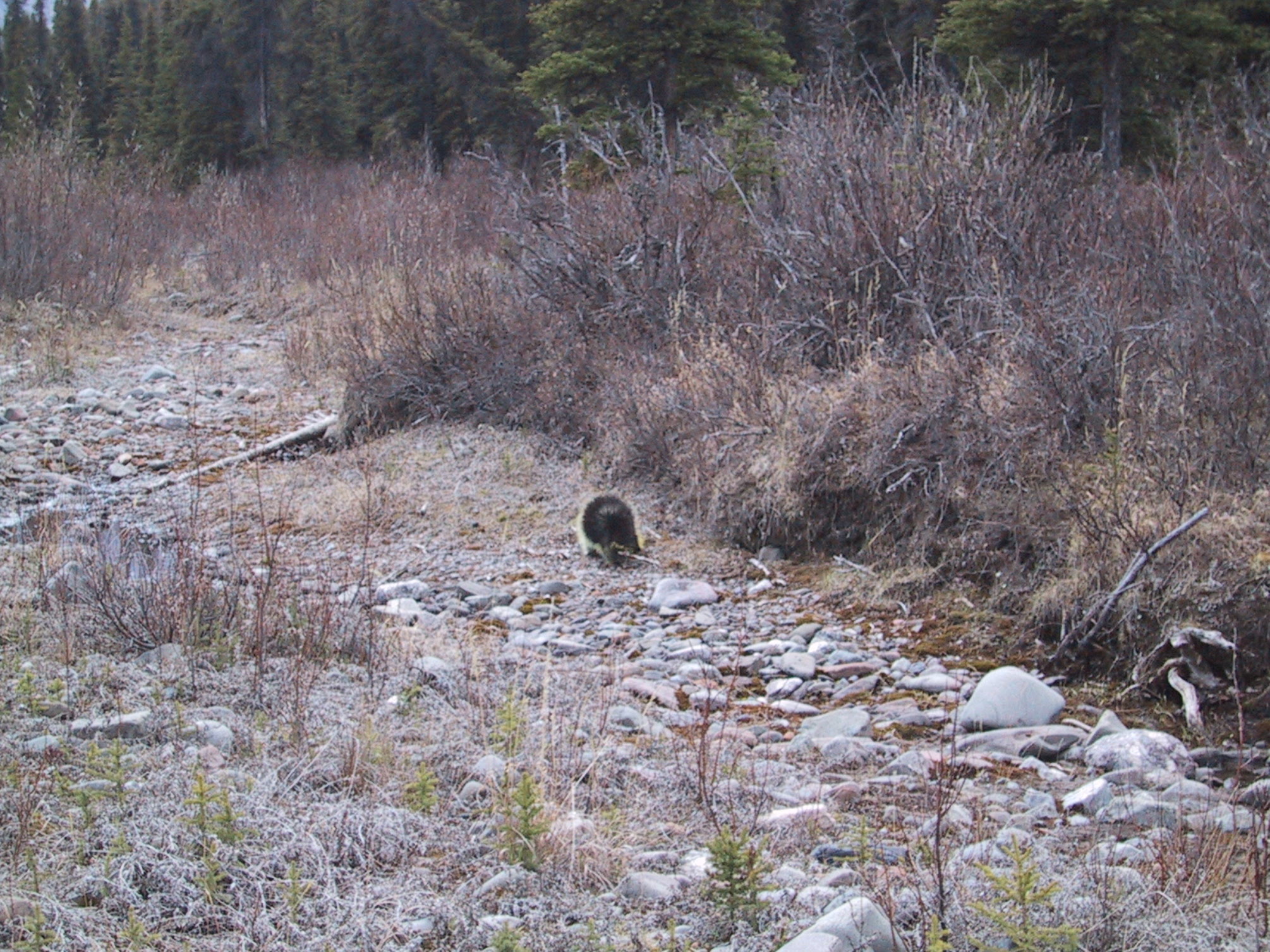
This is as close as I was willing to get to a wild porcupine's rear. As you can see, wildlife photography without a zoom lens is somewhat difficult. If my fairy godmother is reading this, I'd like a new digital camera (at least 4 megapixels, of course) with a full-size zoom. (Also, call me for details about my new laptop computer.) Anyway, despite having sighted just about every type of mammal and bird in the park, [eg, six porcupines in the first five days] there won't be a lot of photos of them here. |
|
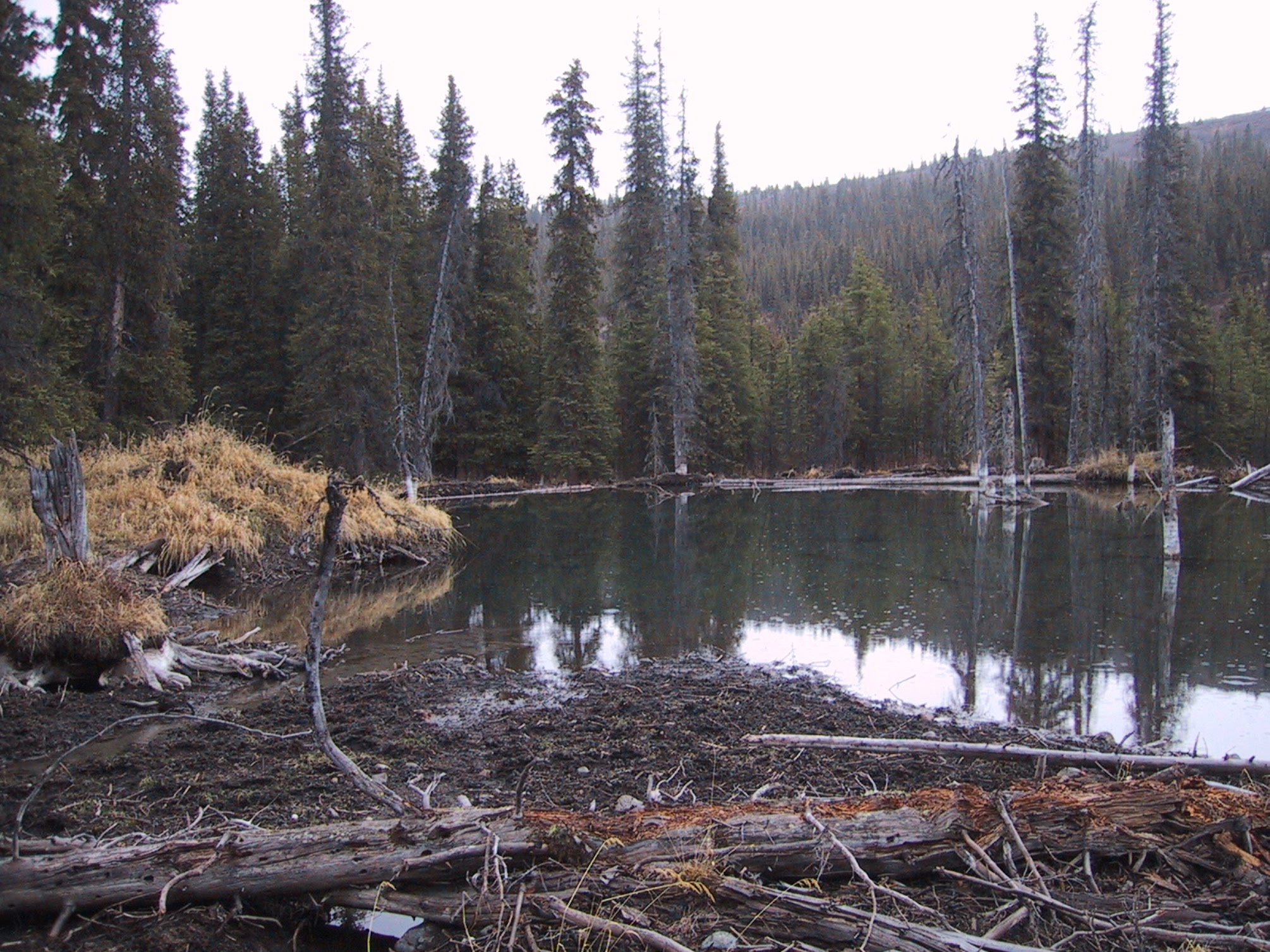
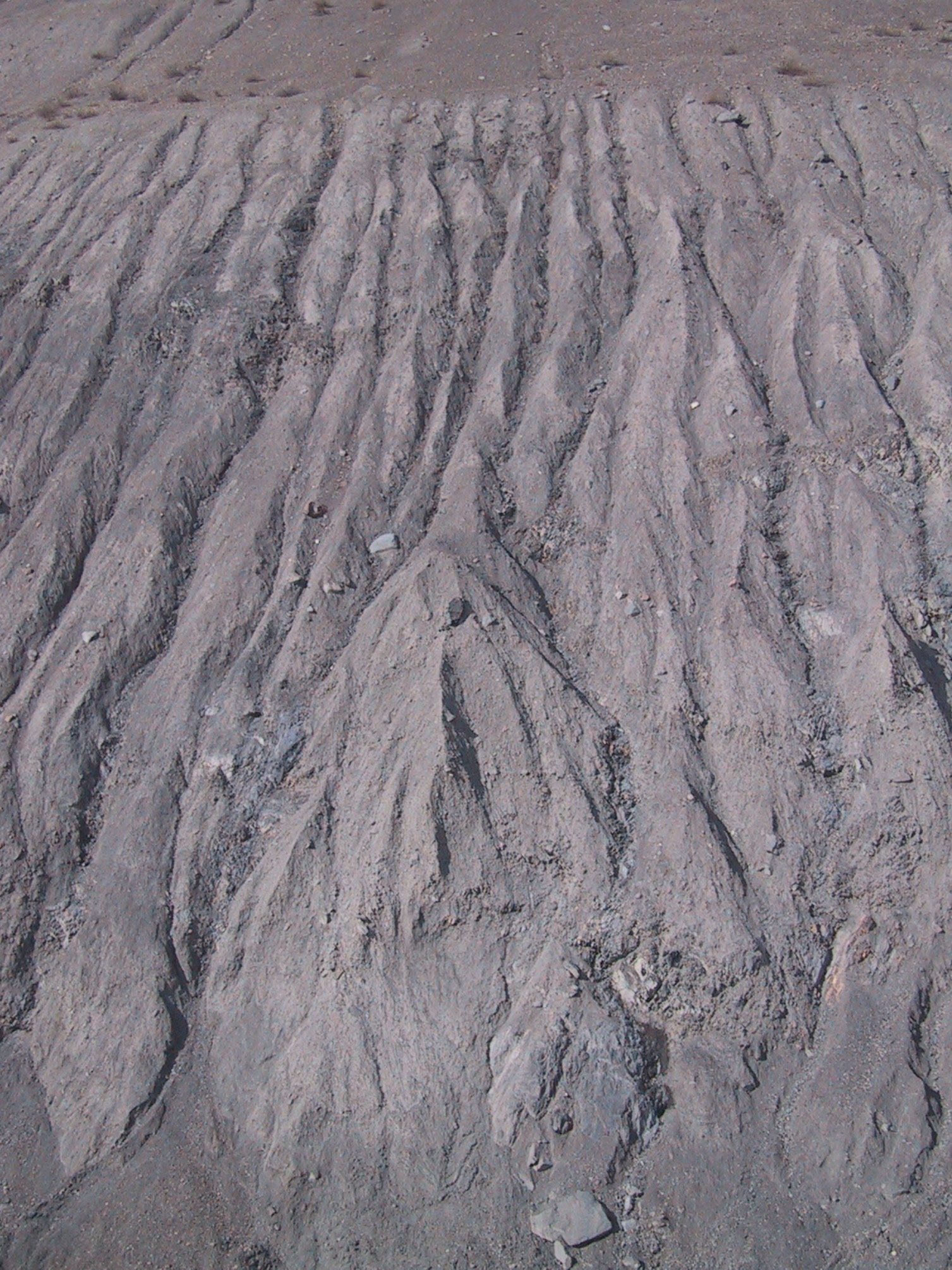
This was the major obstacle to hiking alongside Riley Creek: beaver ponds. |
|
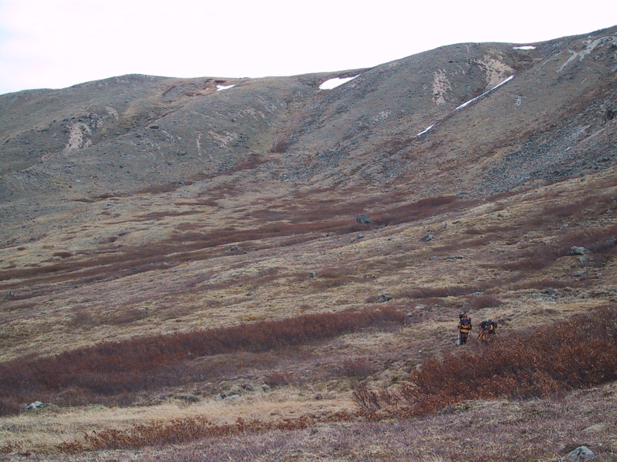
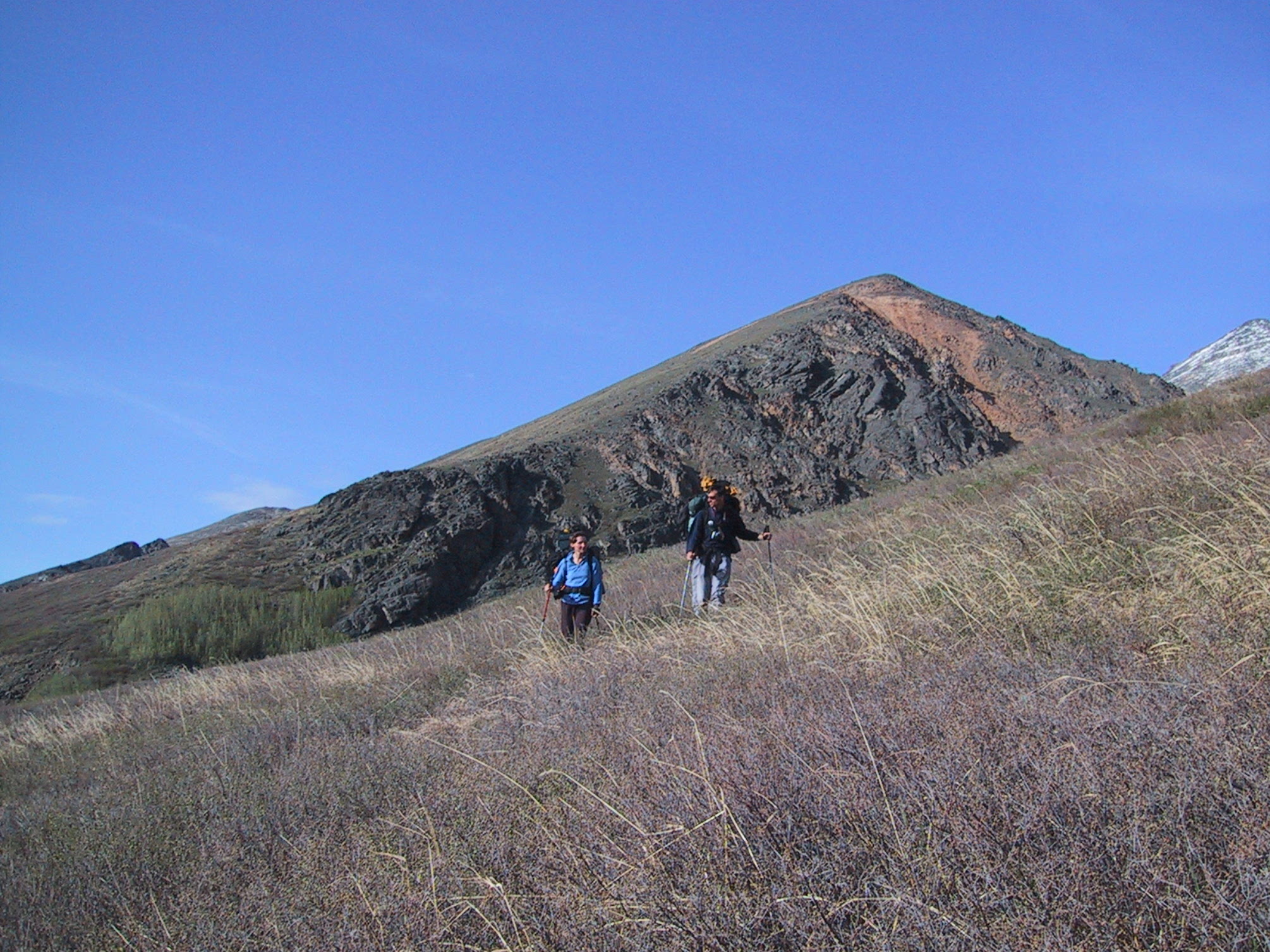
As we emerge onto higher ground and the landscape begins shifting to tundra, we discover proof of the existence of Dall's Sheep. |
|
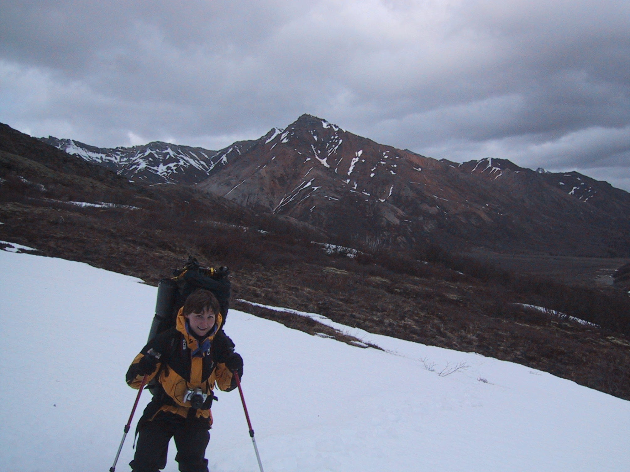
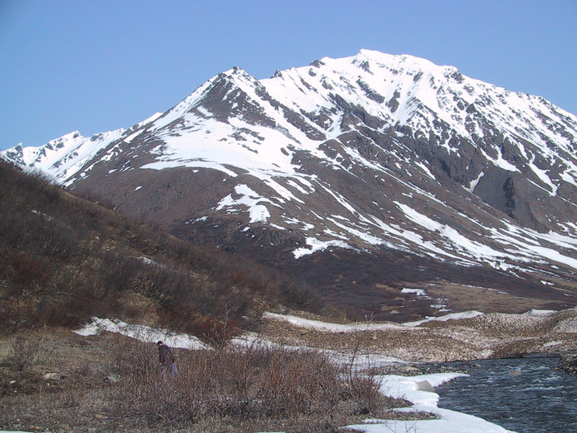
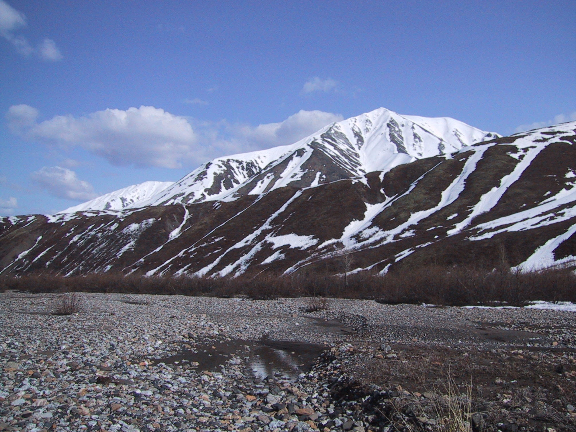
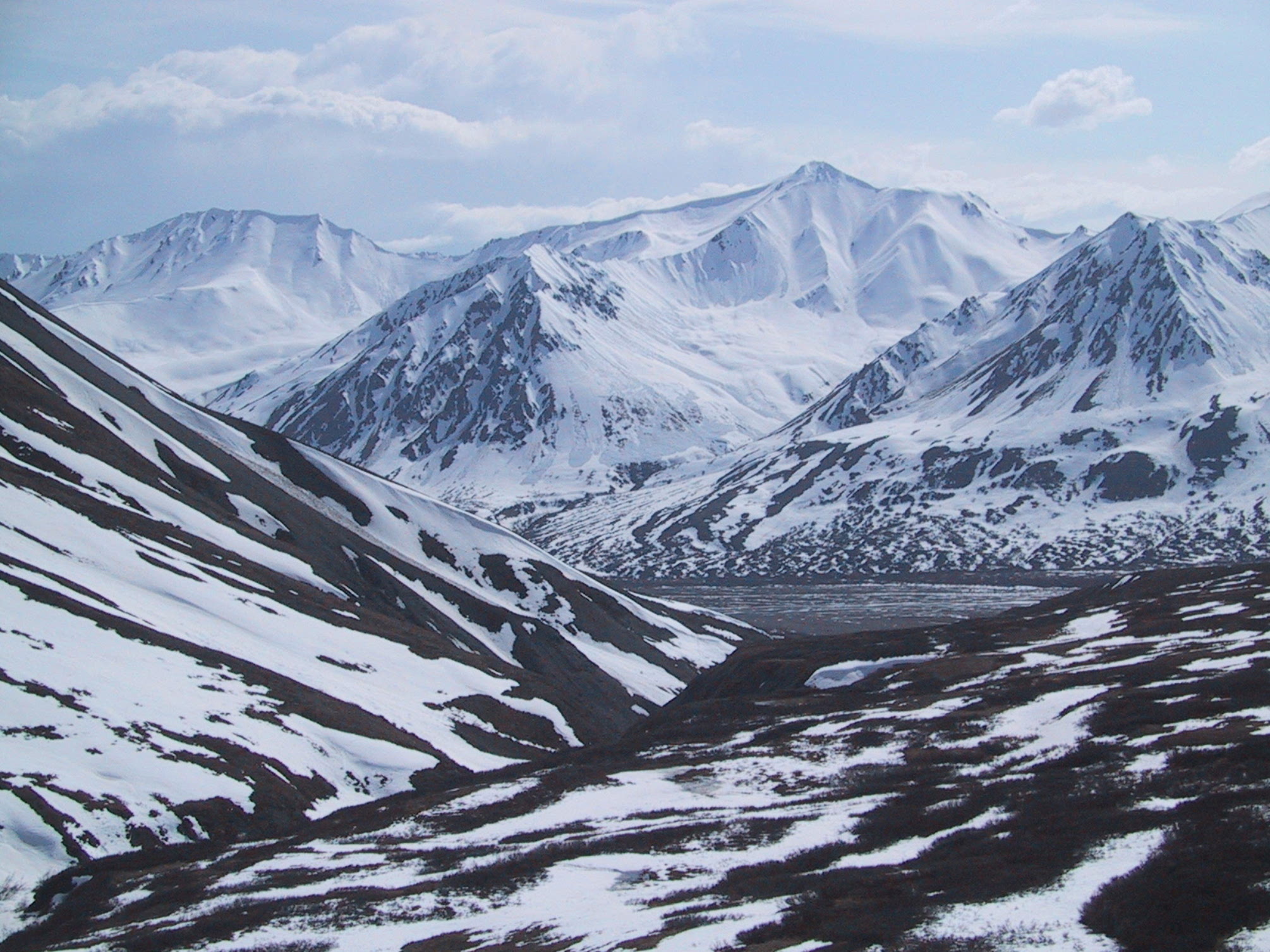
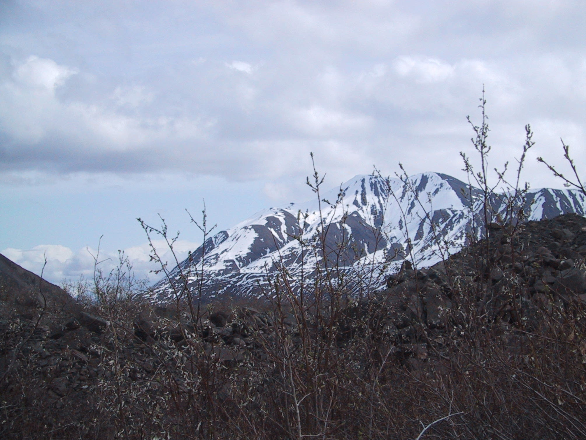
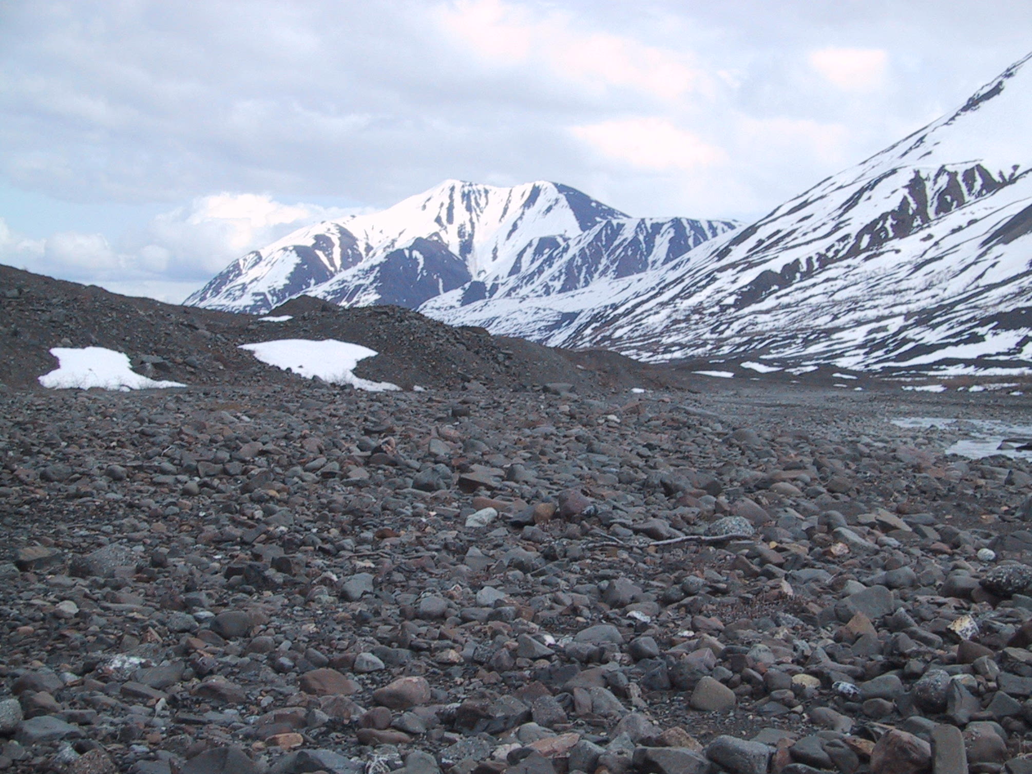
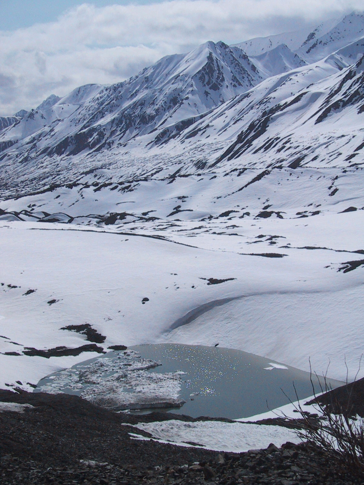
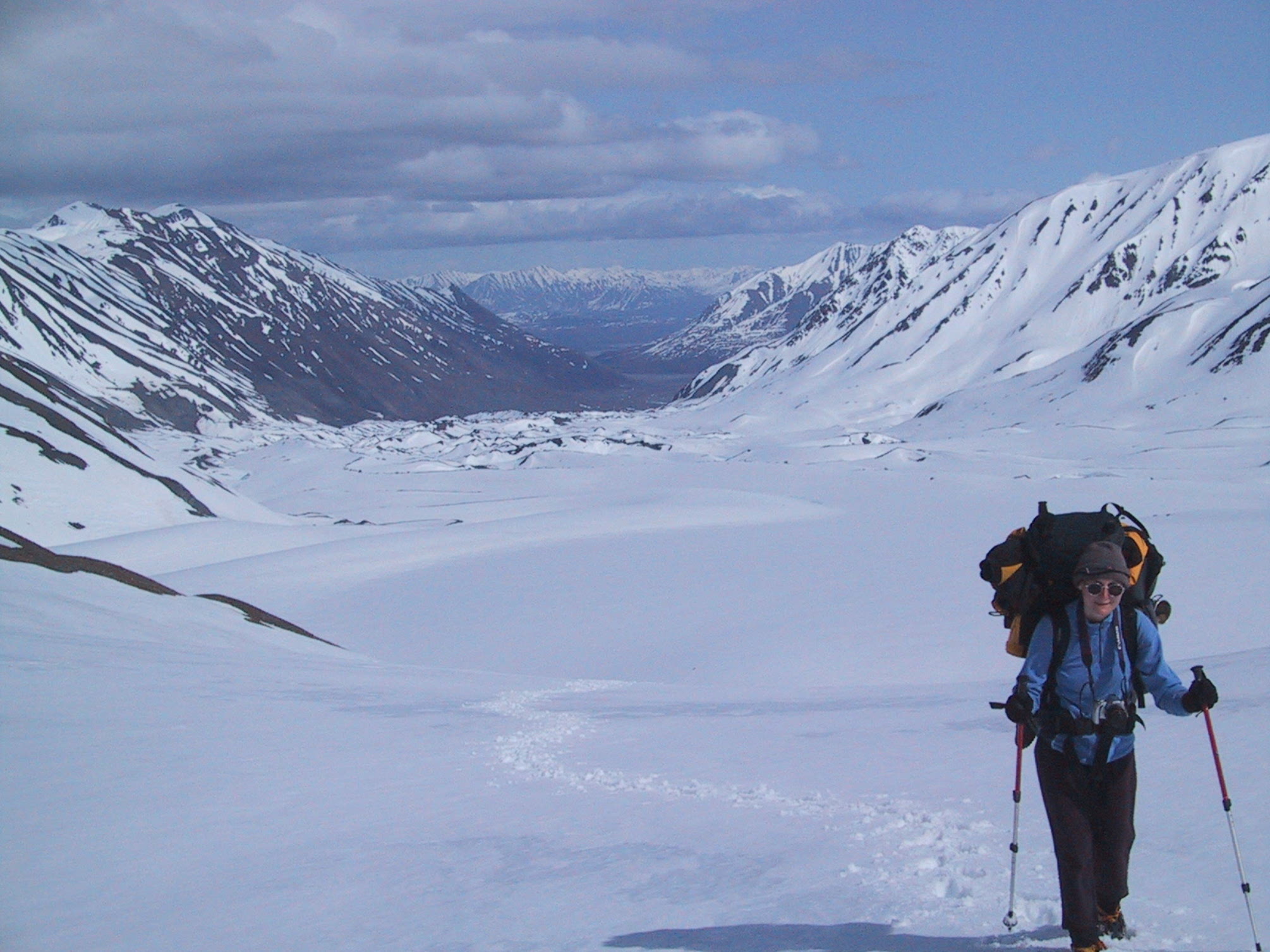
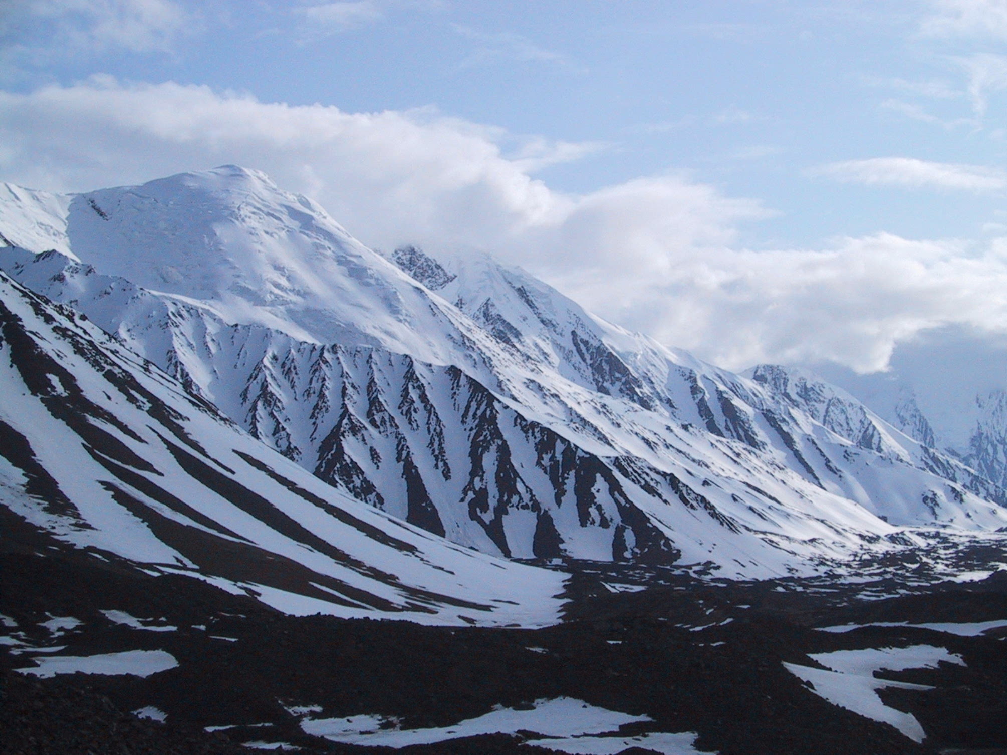
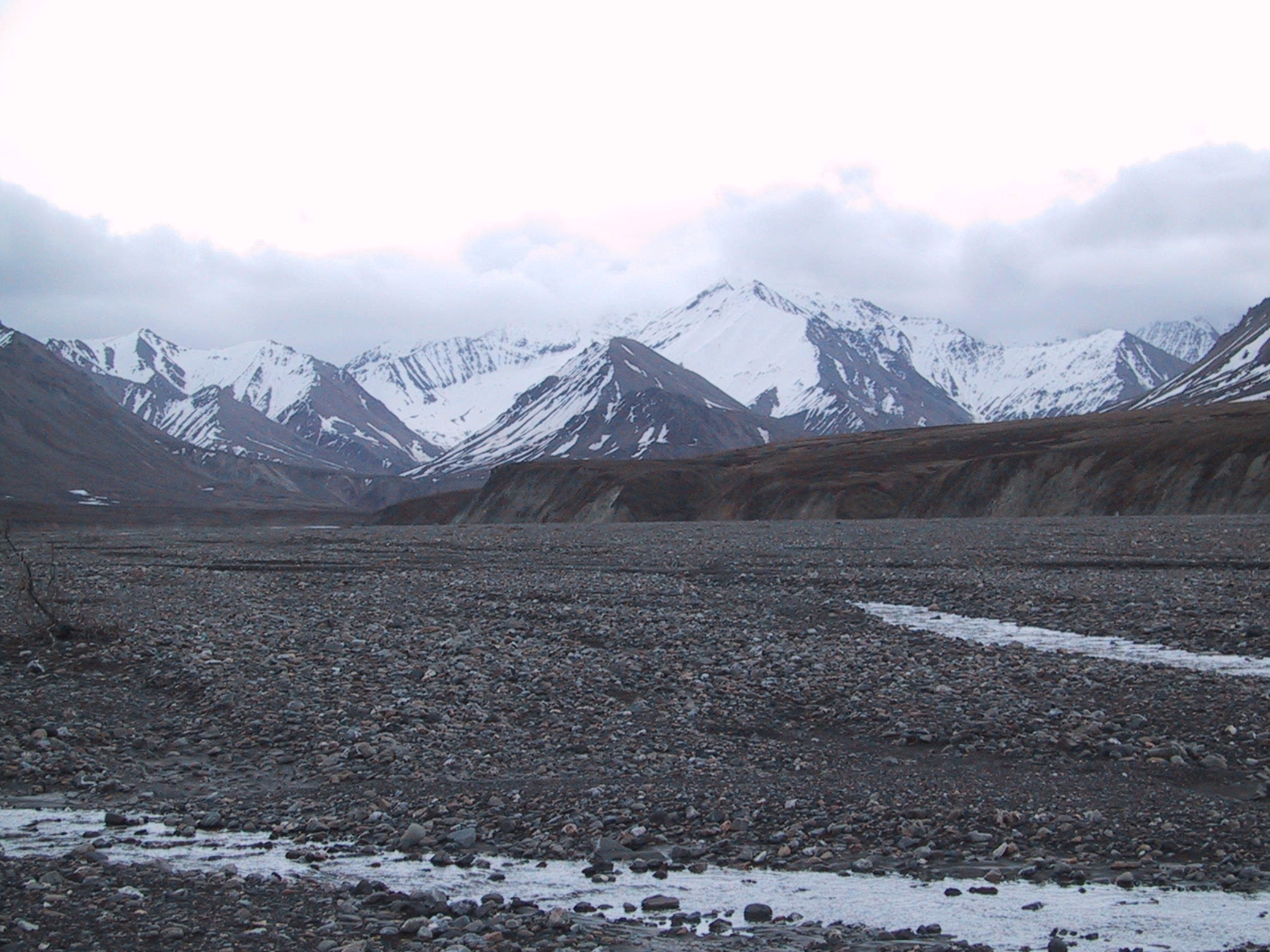
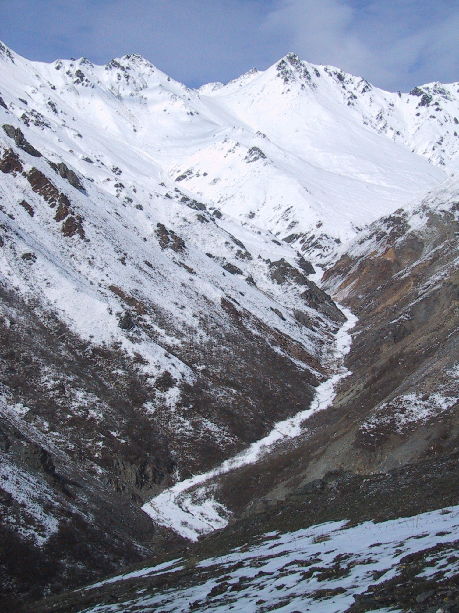
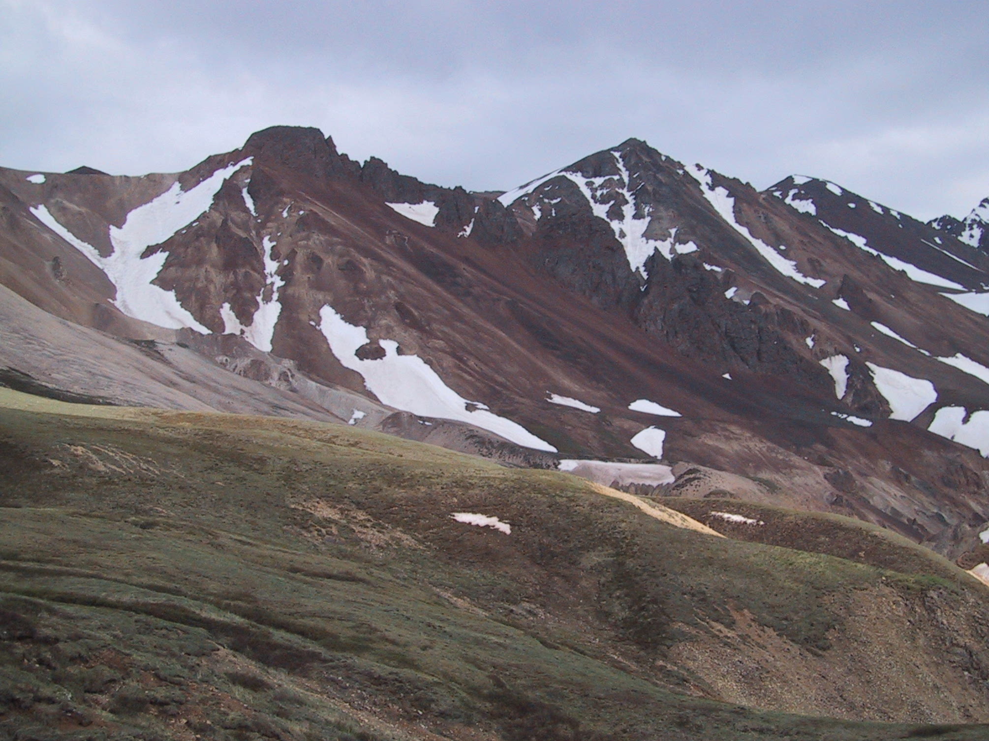
They say this year saw a near-record low amount of snow. This photo taken below three thousand feet of elevation. |
|
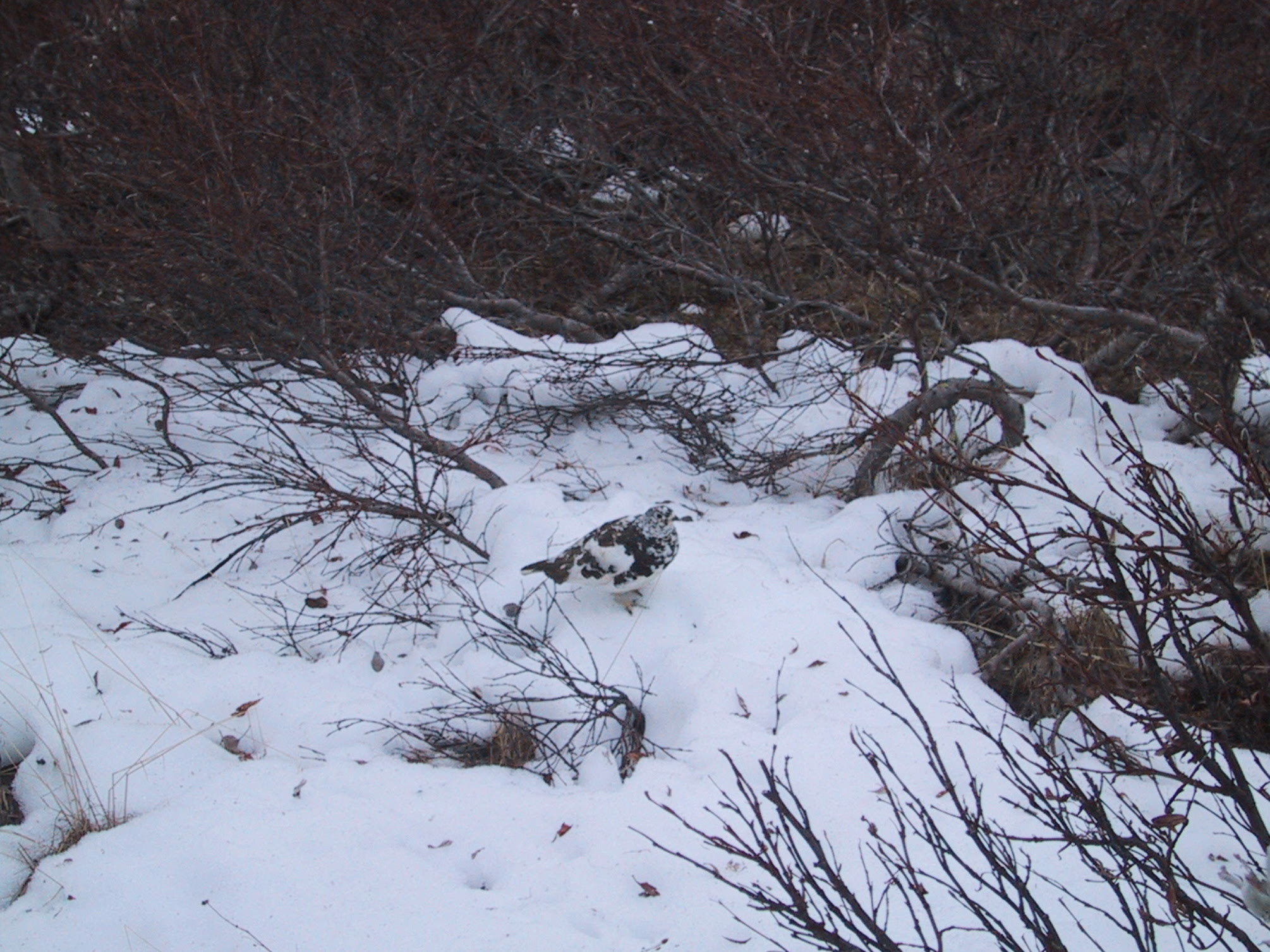
It's late May, and there's no sign of leaves on the willows, and the ptarmigans still have their winter plumage. |
|
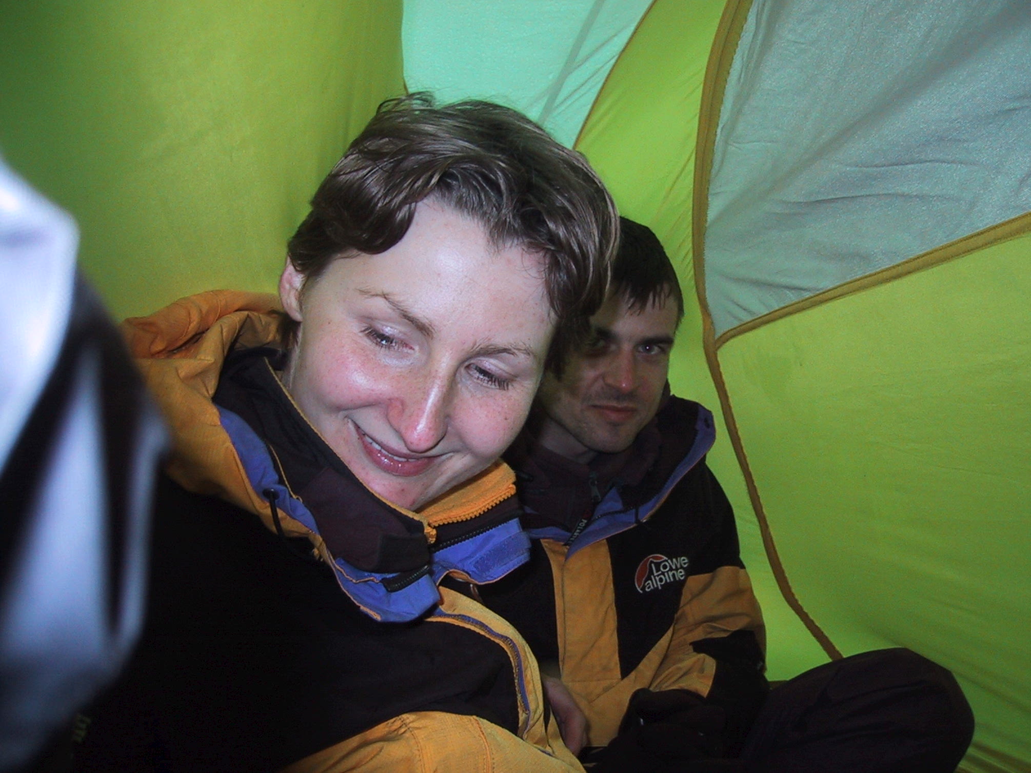
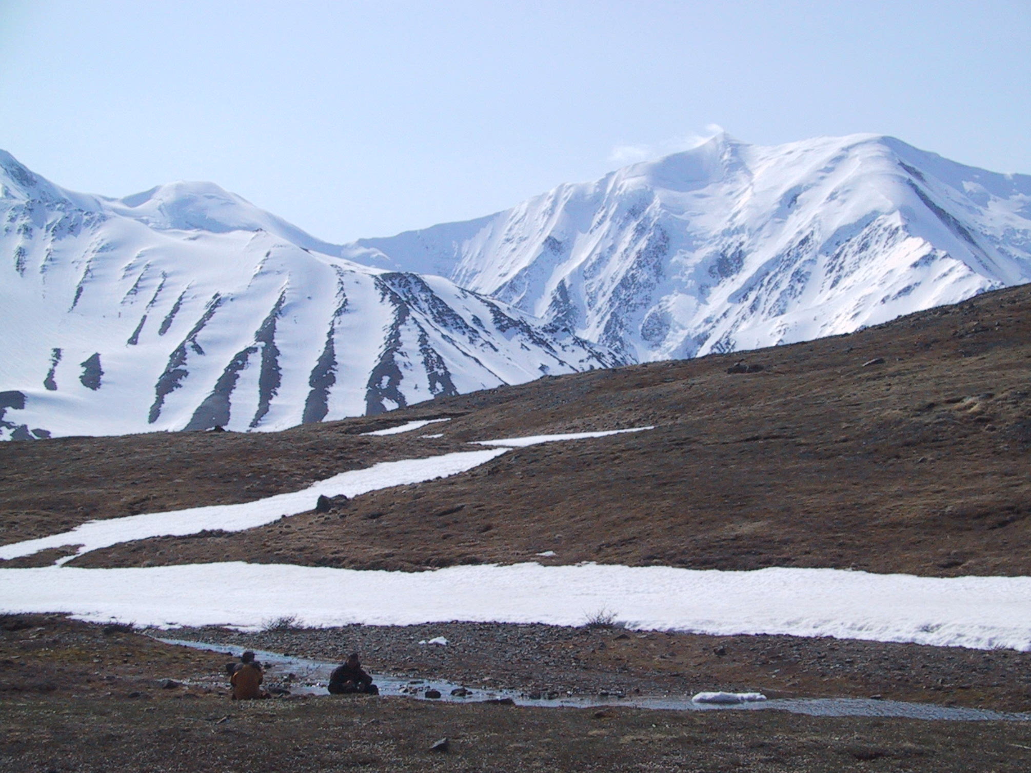
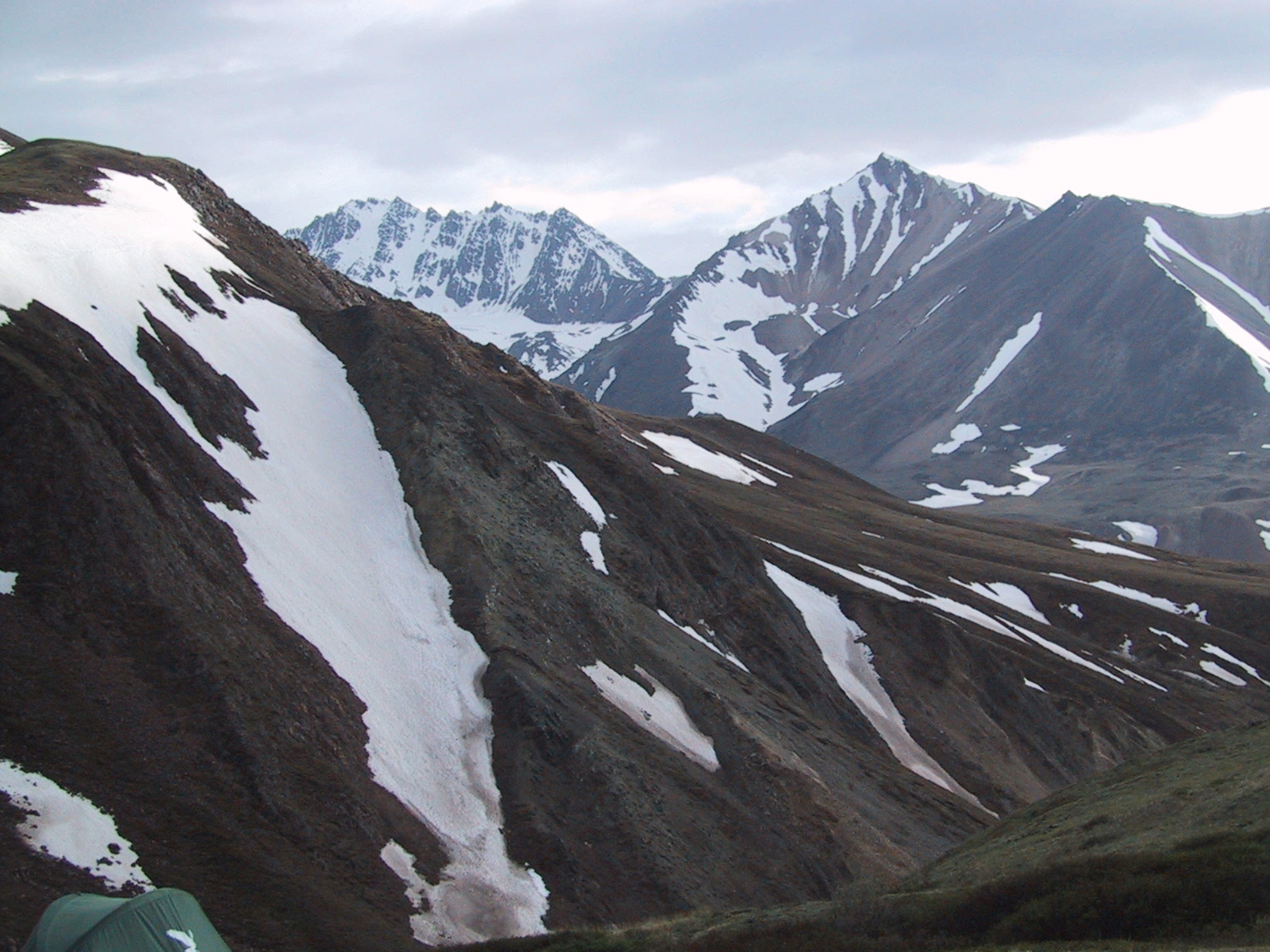
Not surprisingly, given the amount of snow on the ground and the fact that we're camped by the very aptly named Windy Pass, it's cold out here. We huddle in the bigger tent while we wait for water to boil for dinner. |
|
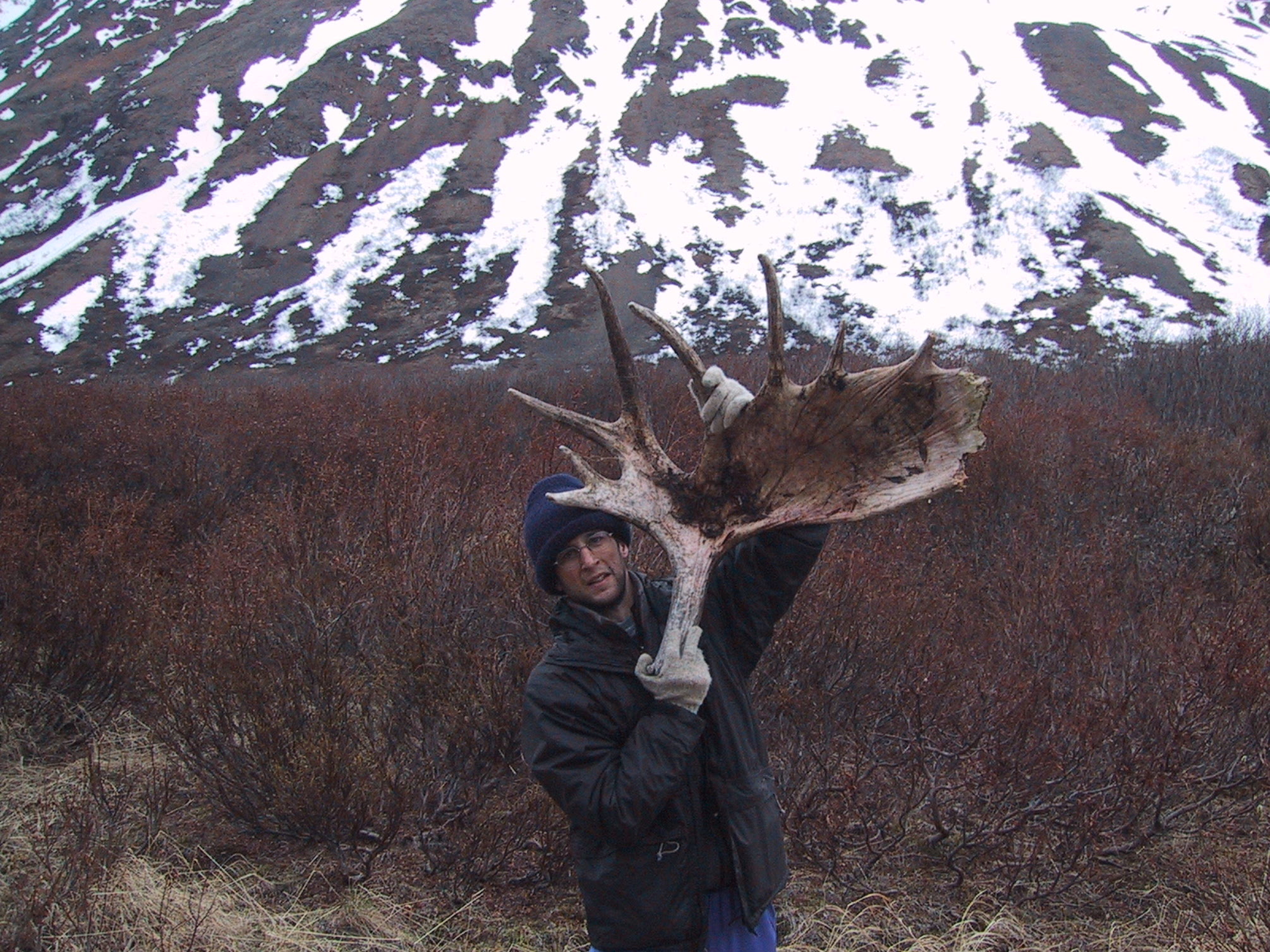
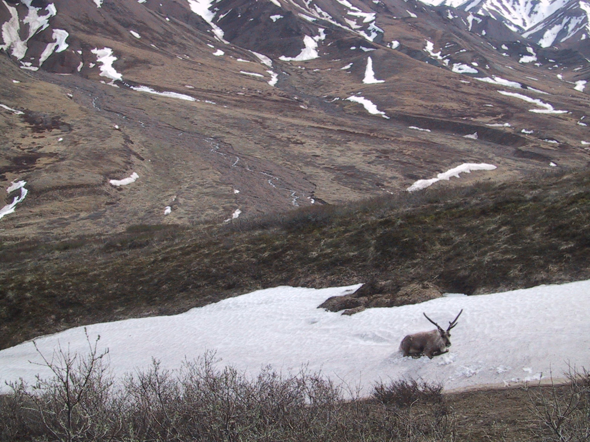
Proof of the existence of moose. [Mooses? Meese?] |
|
Morning at our campsite. Note that "morning" is used in a purely chronological sense; the sun technically sets around 11:30 PM and rises around 4AM, but it never really gets dark. This shot was taken a bit before 10 AM. |
|
Same time & place, view in opposite direction. |
|
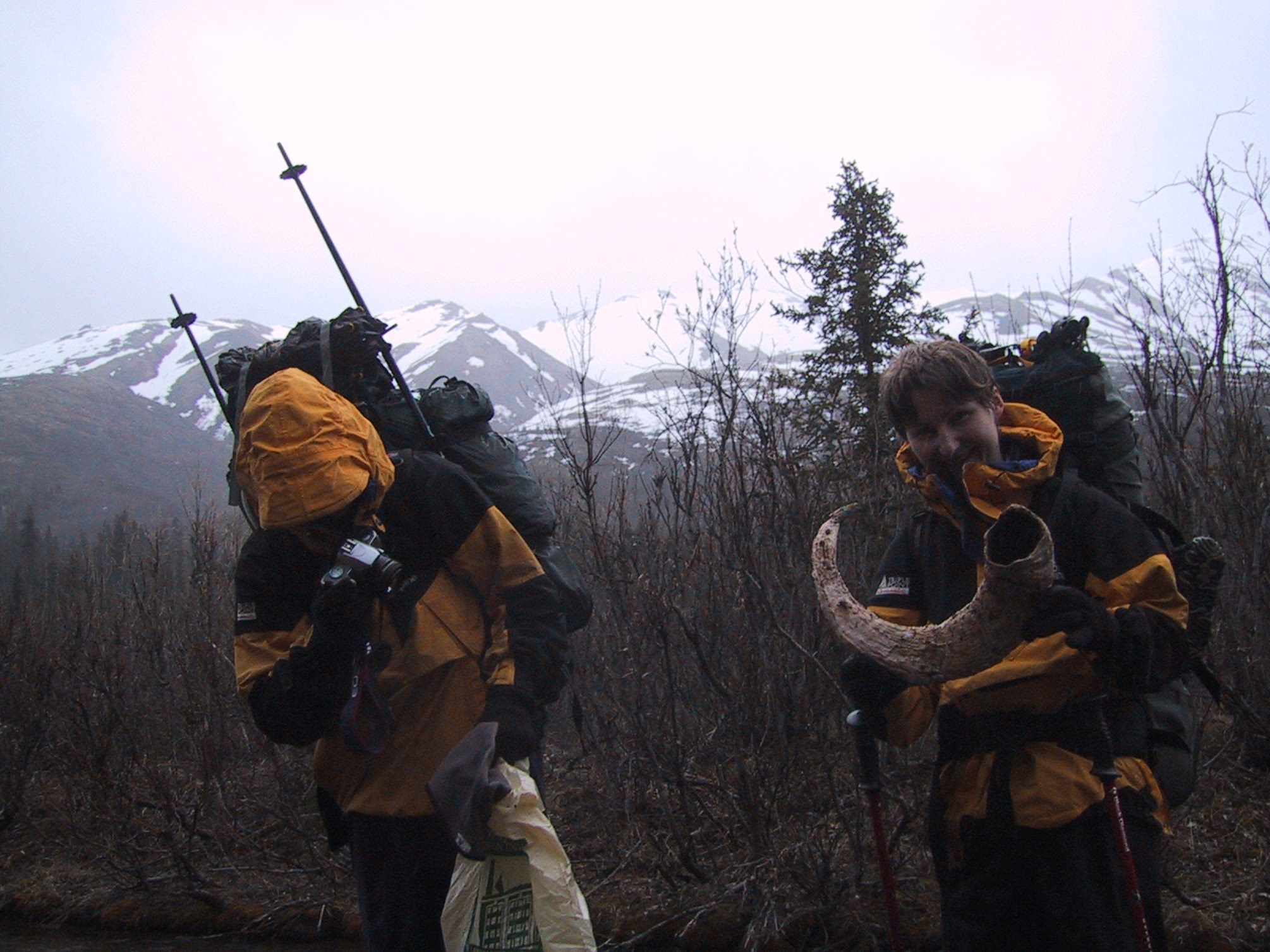
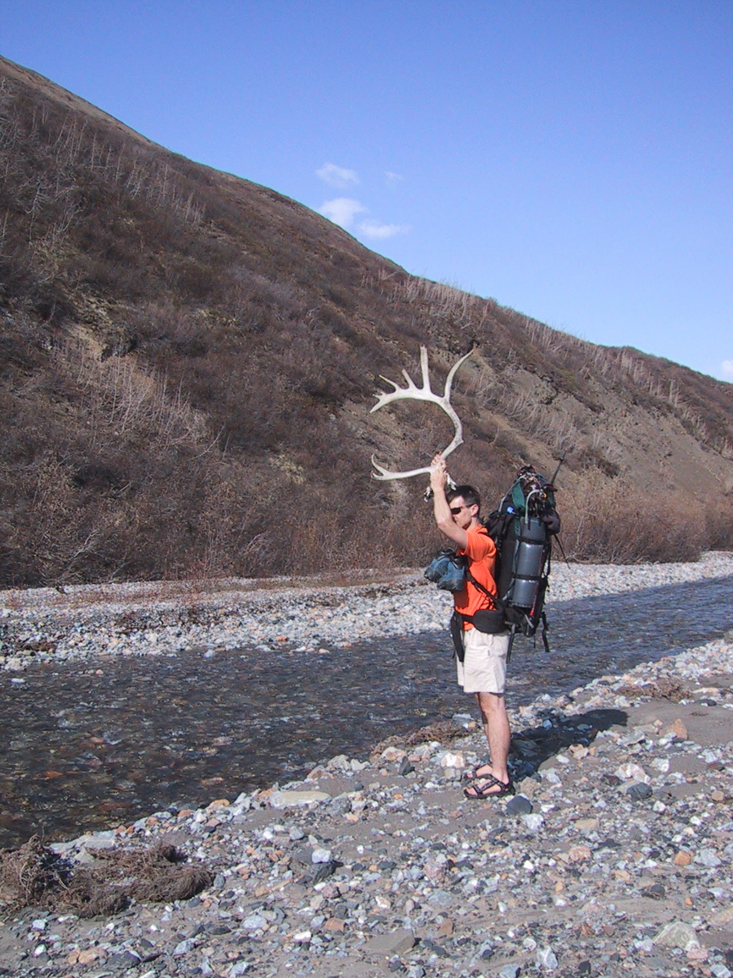
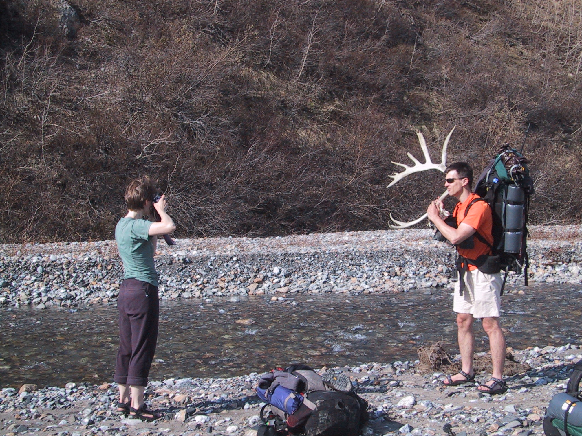
The very elusive Cariboumera (half caribou, half hiker). |
|
Again, once I've got my camera out, I'll take a shot of the scenery in each direction. |
|
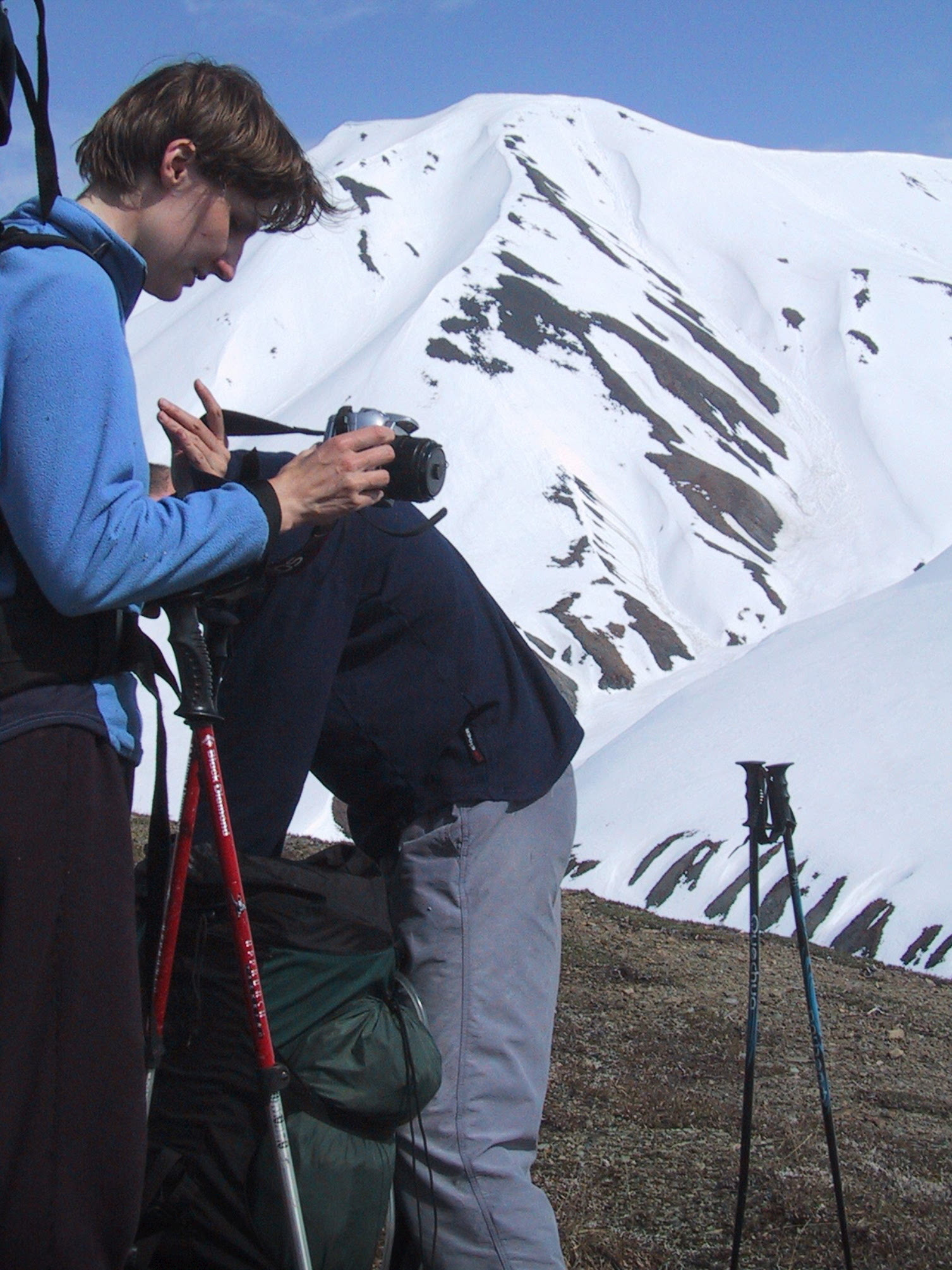
And sometimes I'll get bored waiting for certain persons to finish taking ten different exposures on their old-fashioned film camera. |
|
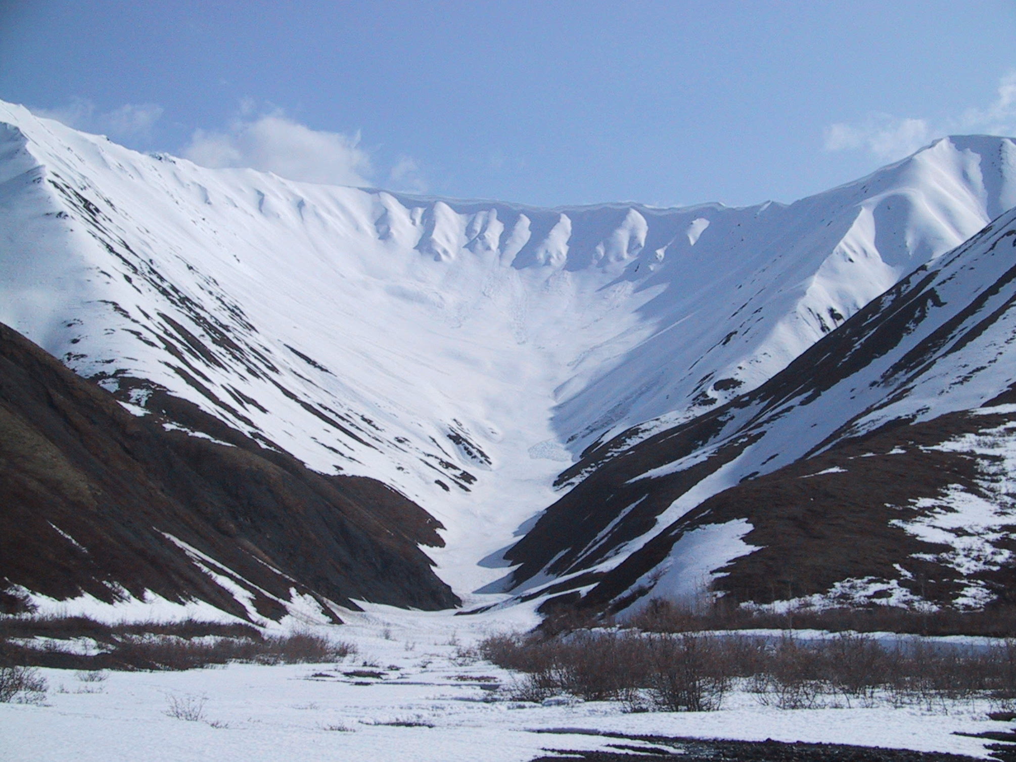
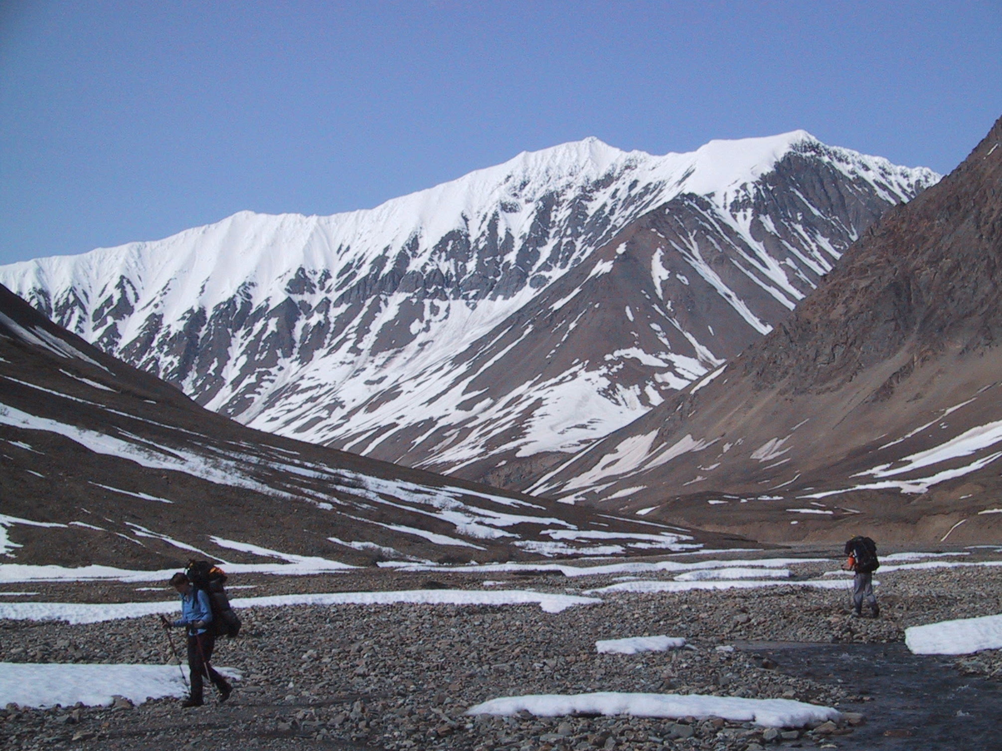
Just fifteen minutes later, the scenery got slightly more photogenic. |
|
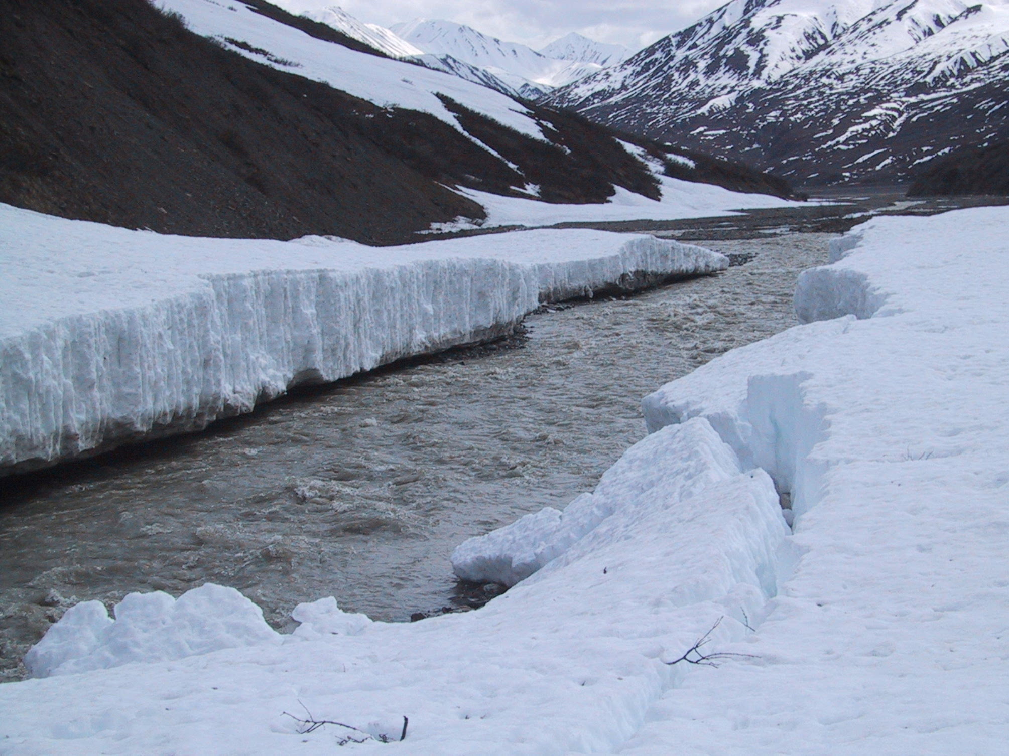
Crossing the Cantwell River didn't involve a whole lot of wading. |
|
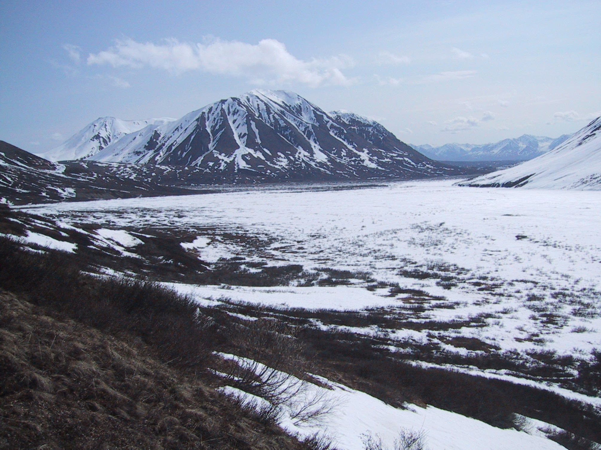
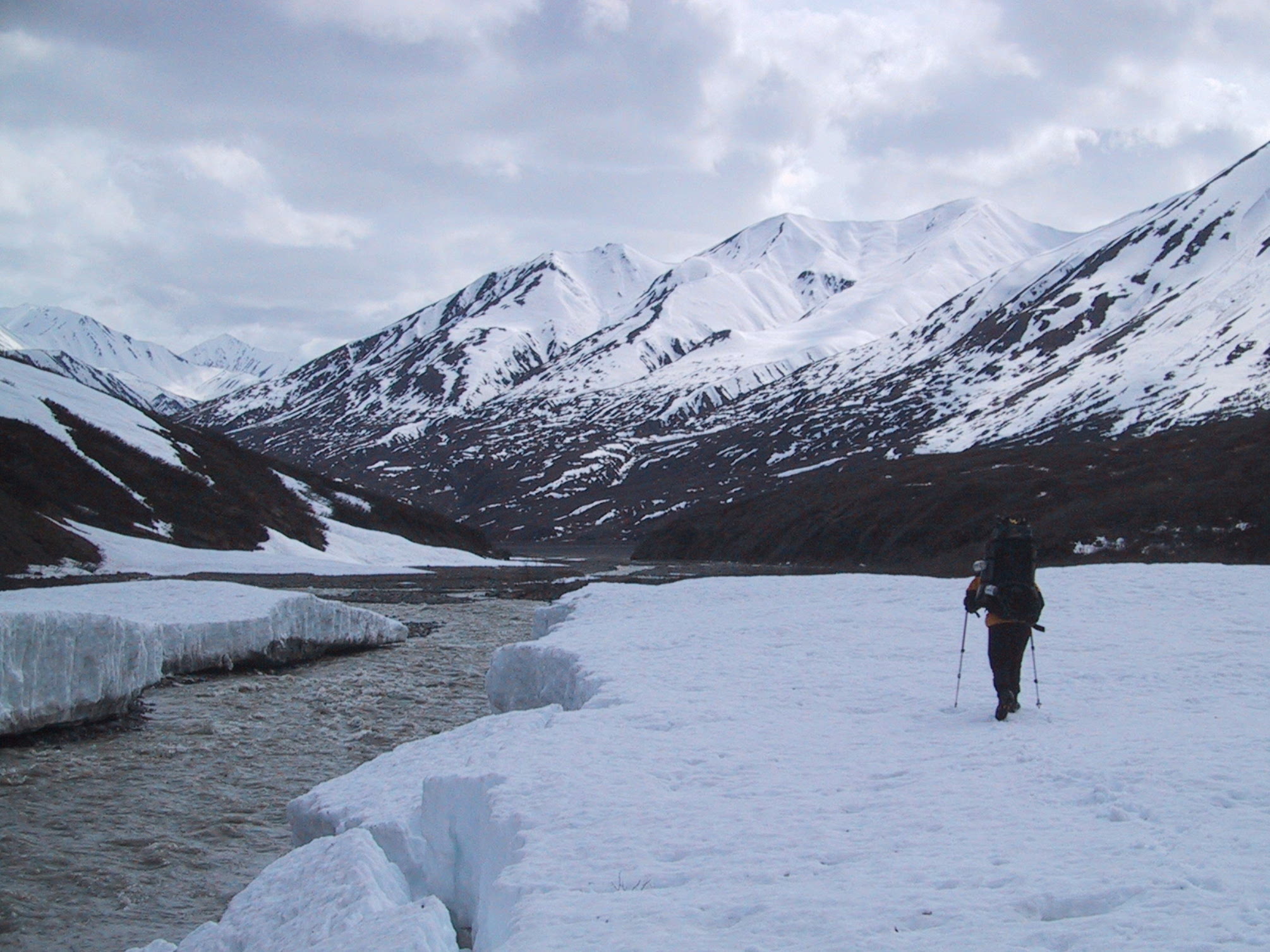
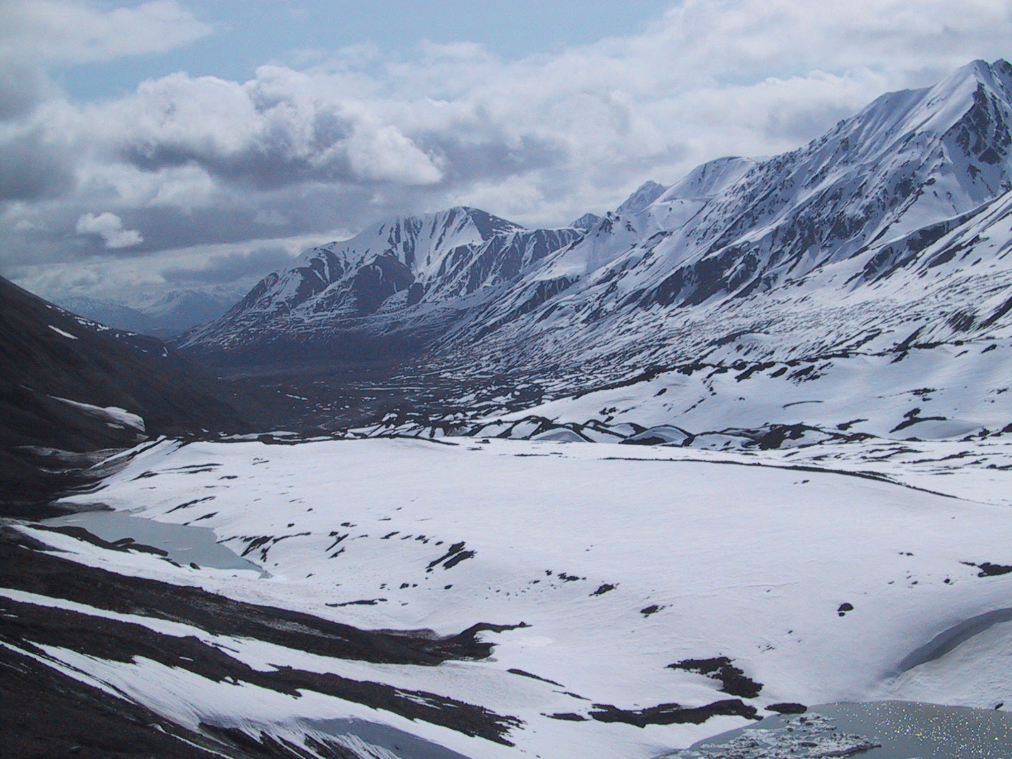
View northward along the Cantwell River; the Cantwell Glacier is visible in the distance flowing down a narrow valley on the left. |
|
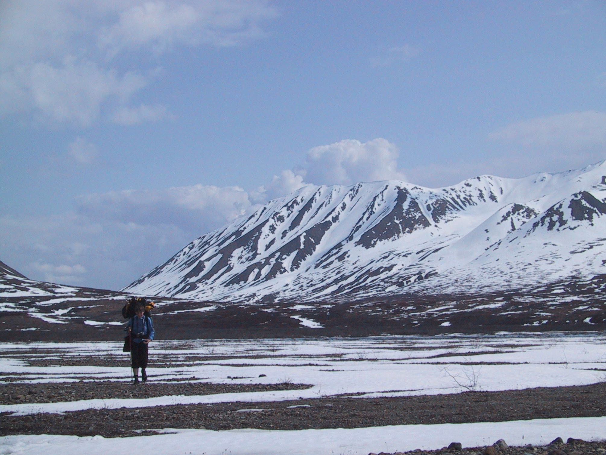
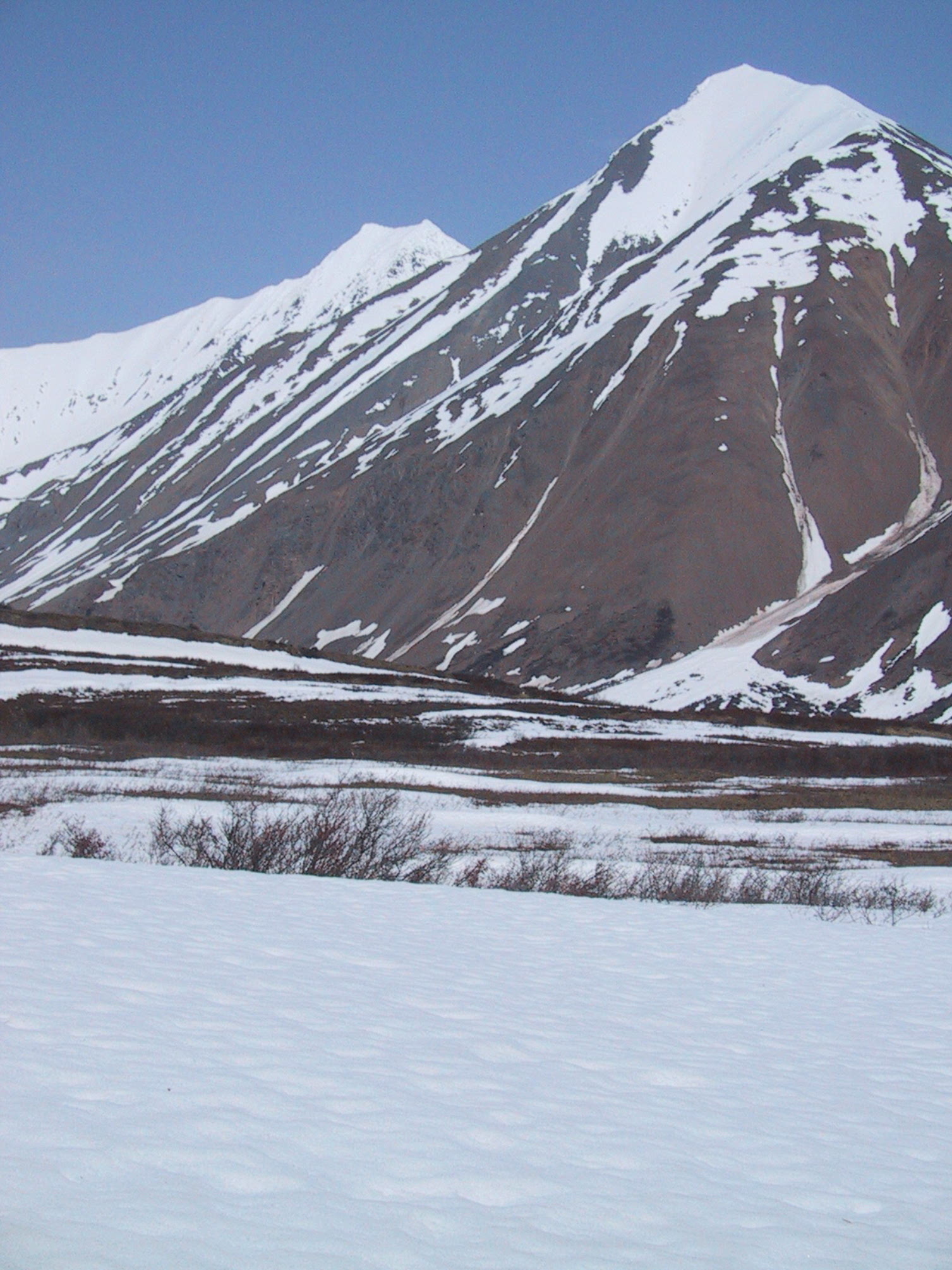
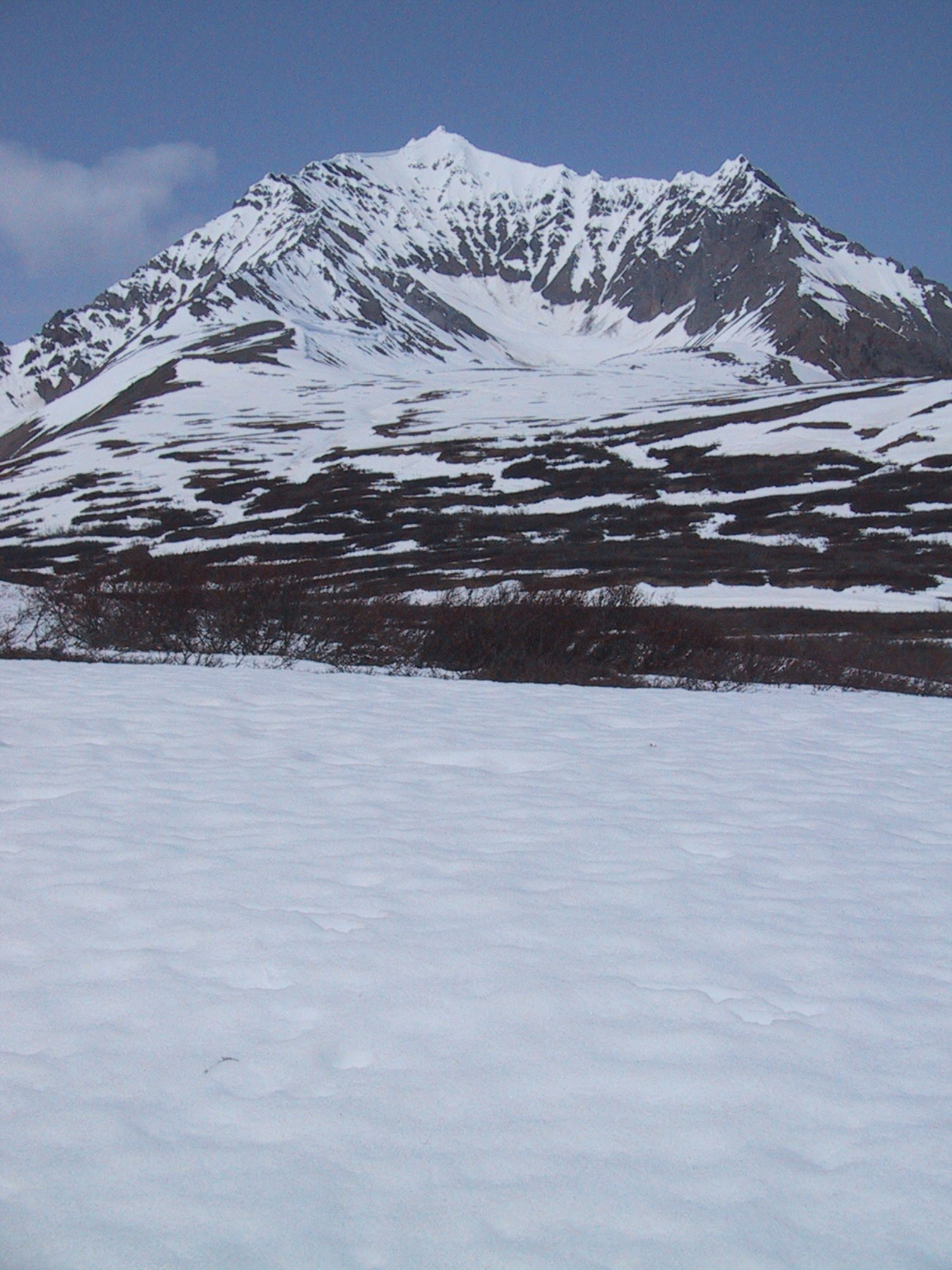
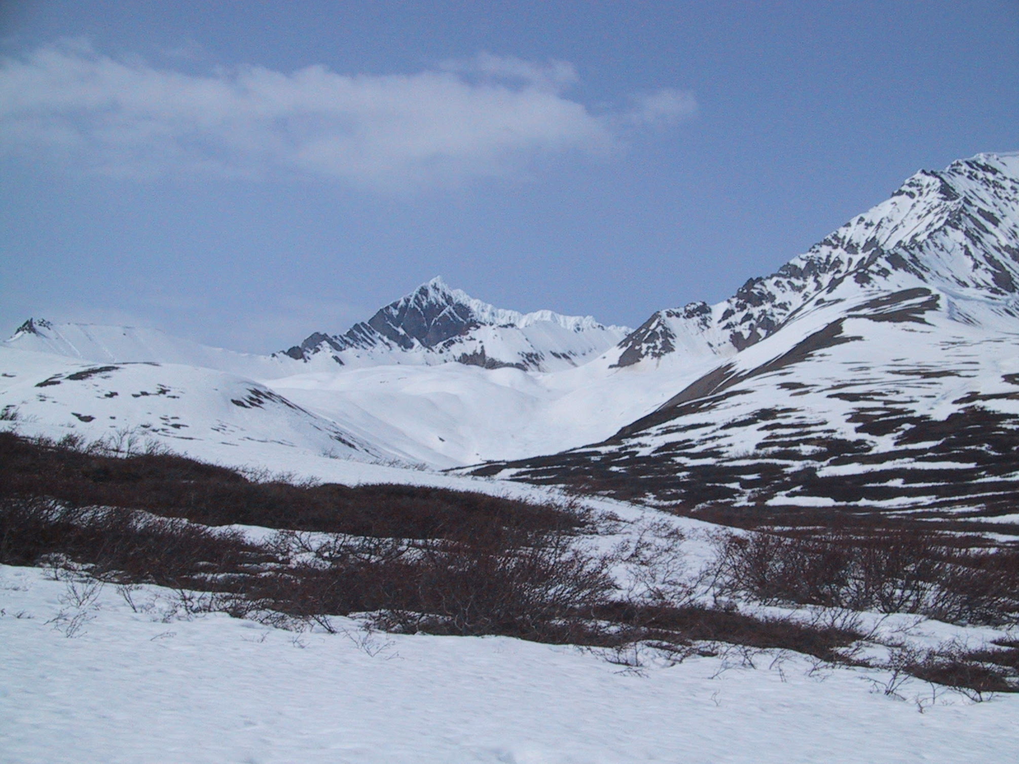
View from a point halfway between the Cantwell River and the pass (call it Noname Pass 1) we'd be climbing later that day. |
|
Same spot, view in different direction. |
|
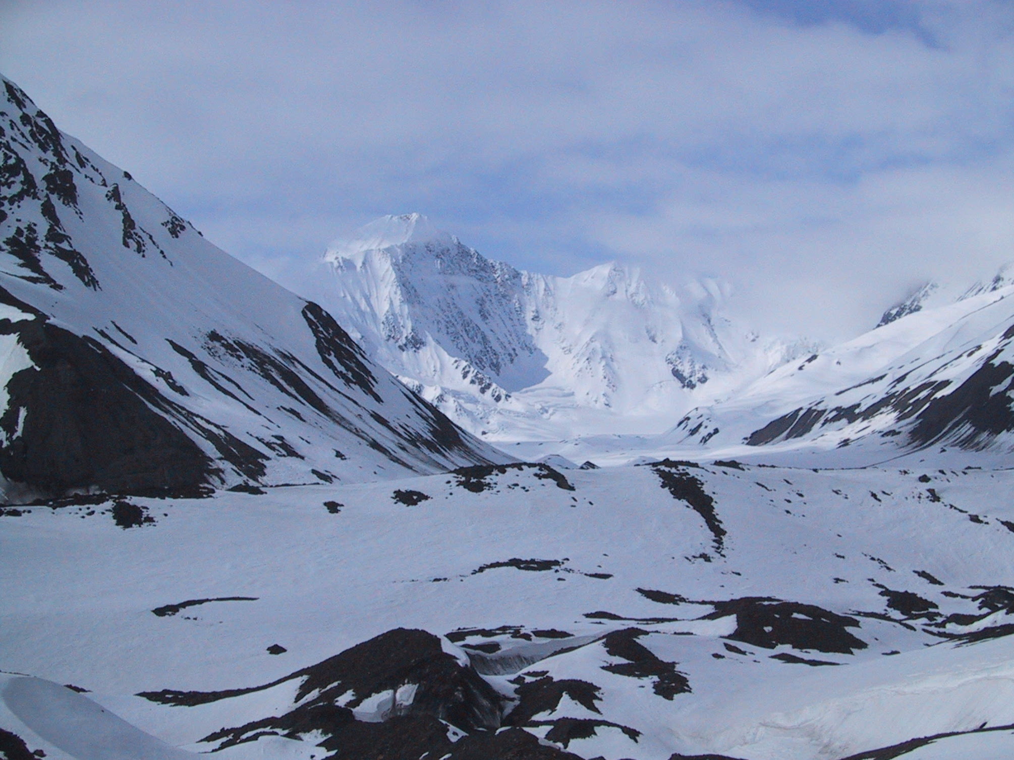
This is the pass we're aiming for. |
|
Cresting the pass. |
|
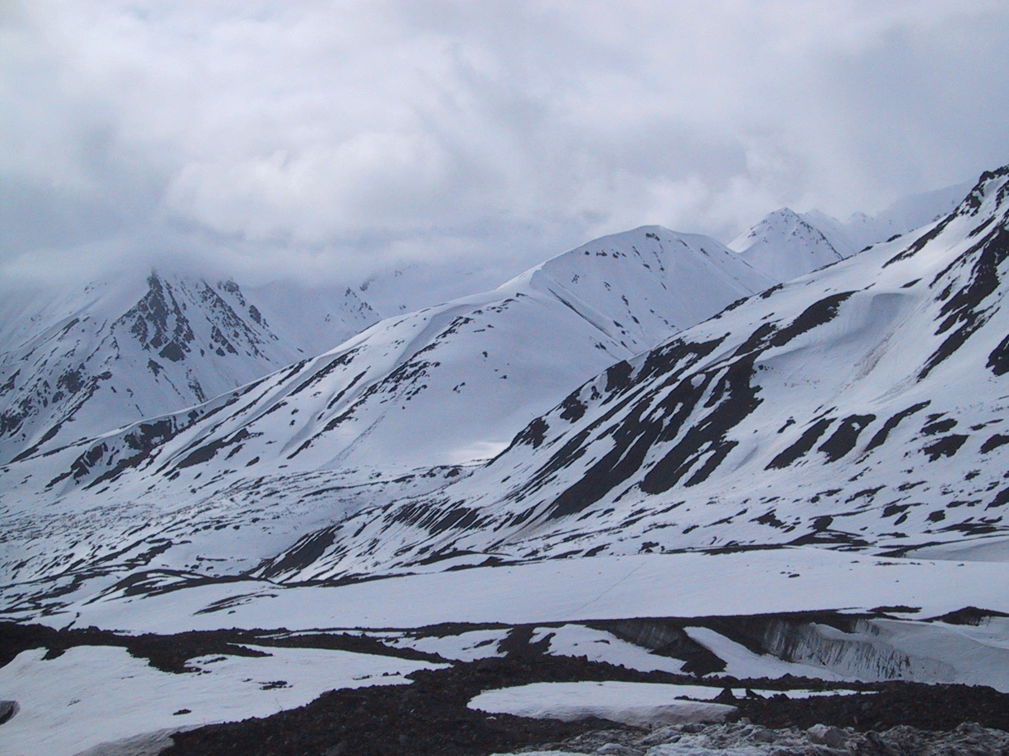
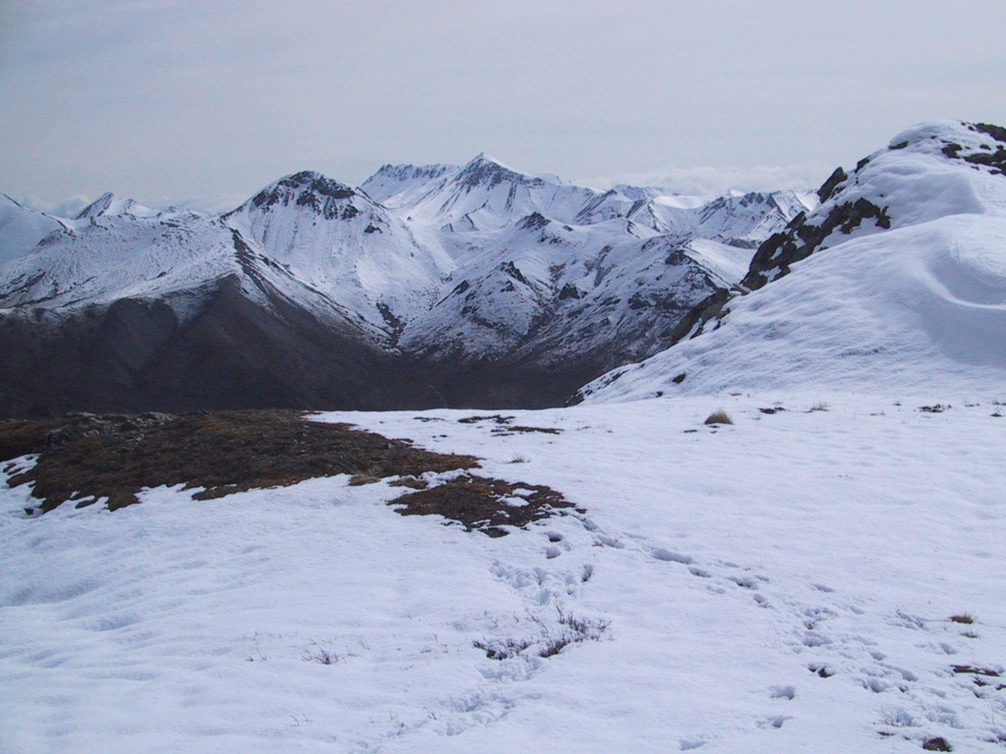
View from the pass. |
|
Another view from the pass. |
|
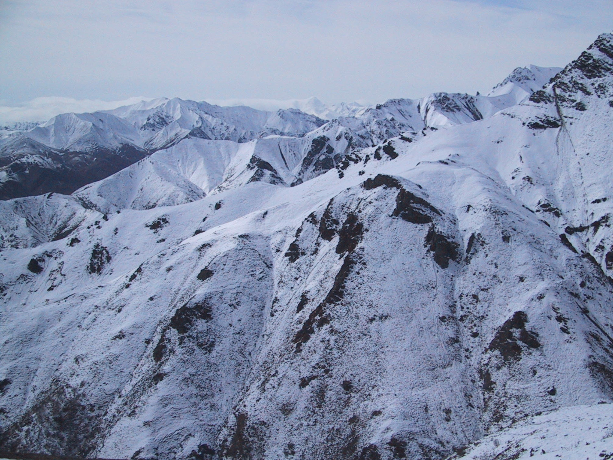
View eastward from Noname Pass 2. Noname Pass 1 is in the center. |
|
View westward from Noname Pass 2, showing the Bull River. |
|
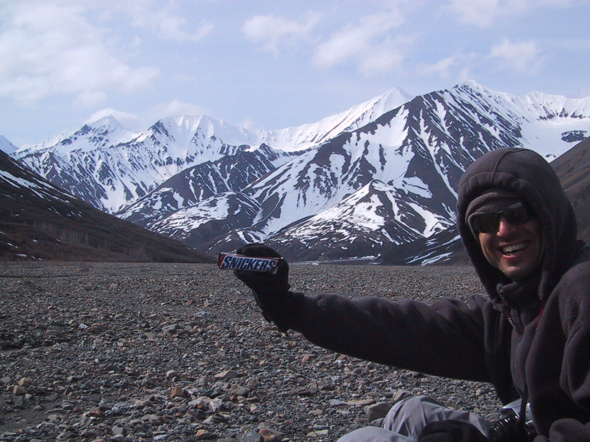
Cresting a pass requires a celebratory rest break, and of course a snapshot. |
|
Descending from the pass into the Bull River valley. Not shown: crossing the main branch of the river, which involved stepping through countless puddles of deep slush while the thin surface ice sliced our shins. |

|
Morning in the Bull River valley: fog on the mountains. |
|
a bit before noon: view eastward, down the Bull River valley toward the previous night's campsite. Noname Pass 2 is visible on the left. |
|
3 PM, a bit higher up Bull River. Michael checks our progress using his GPS receiver. |
|
5 PM: What would they have called this if the snow had been more than waist-deep? Moderately Challenging Pass? |
|
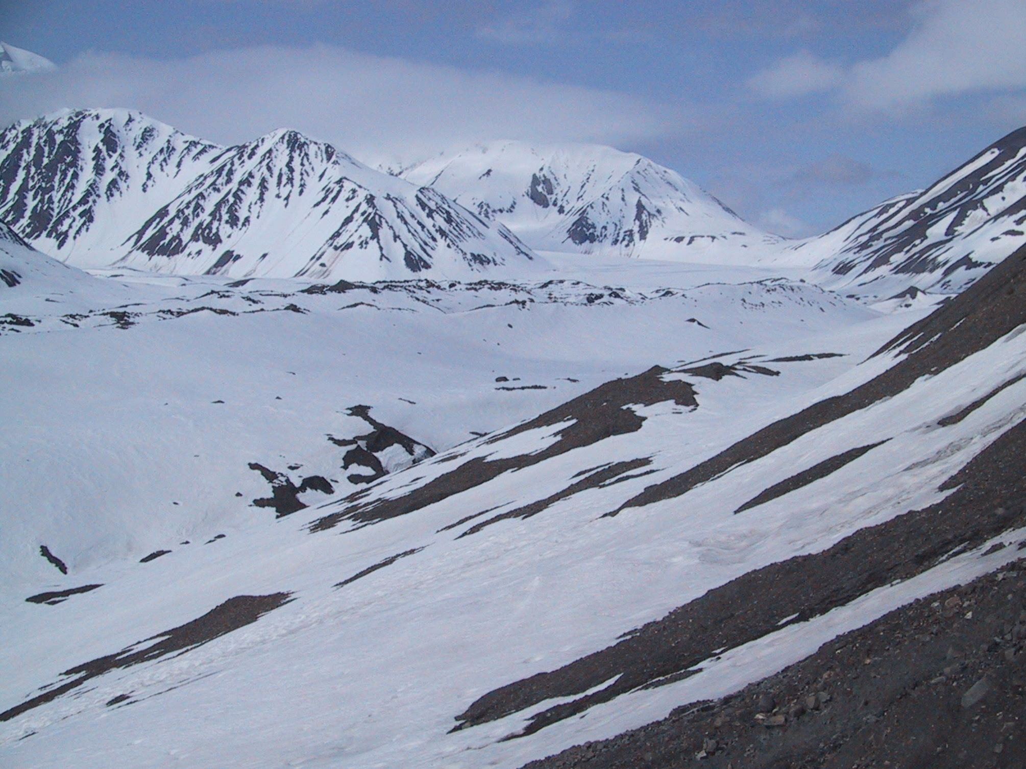
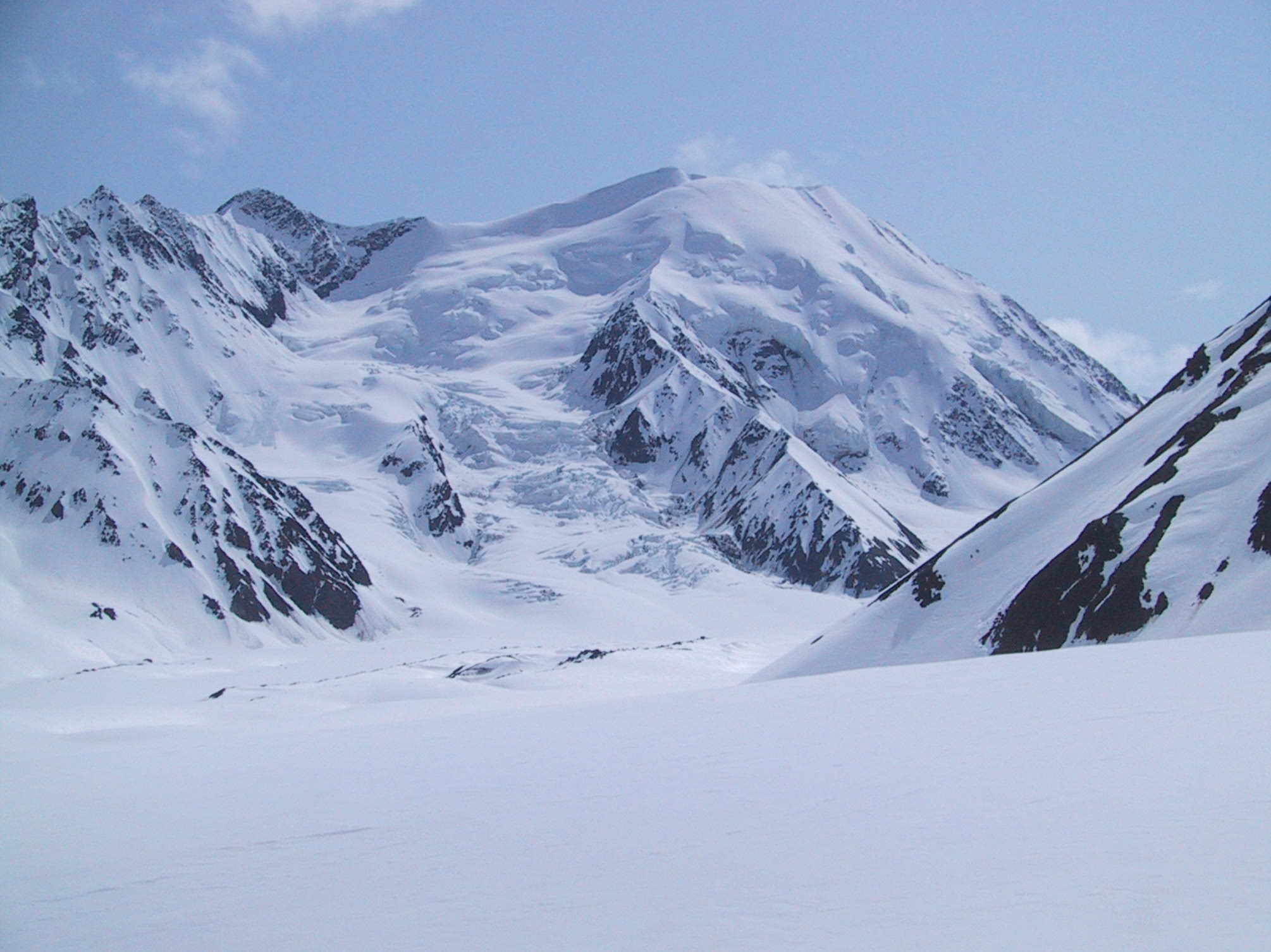
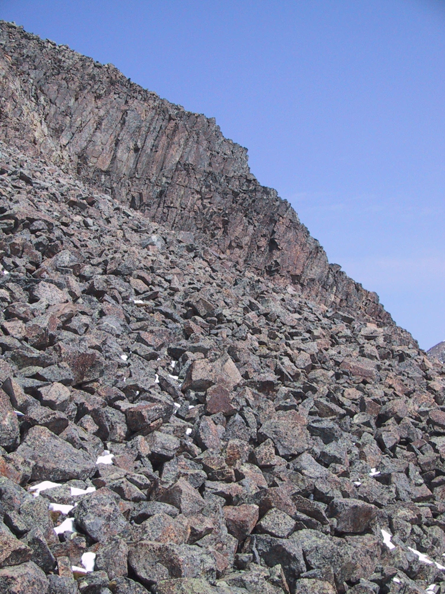
An unnamed glacier. |
|
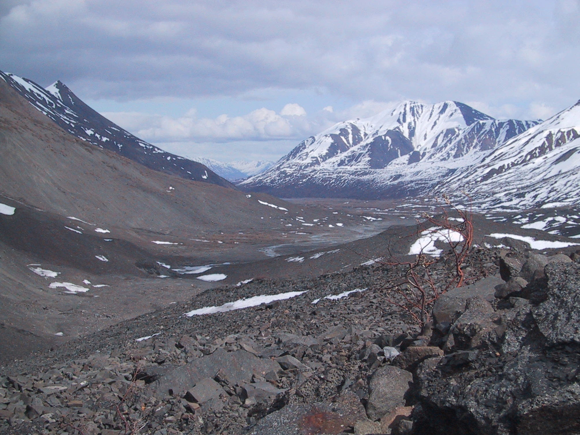
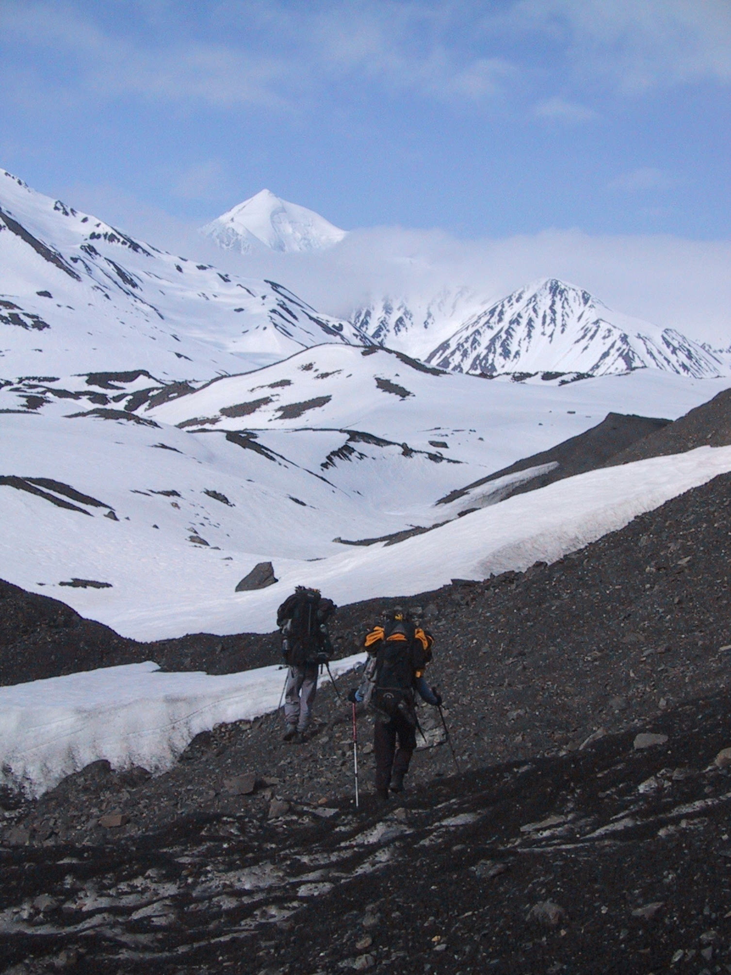
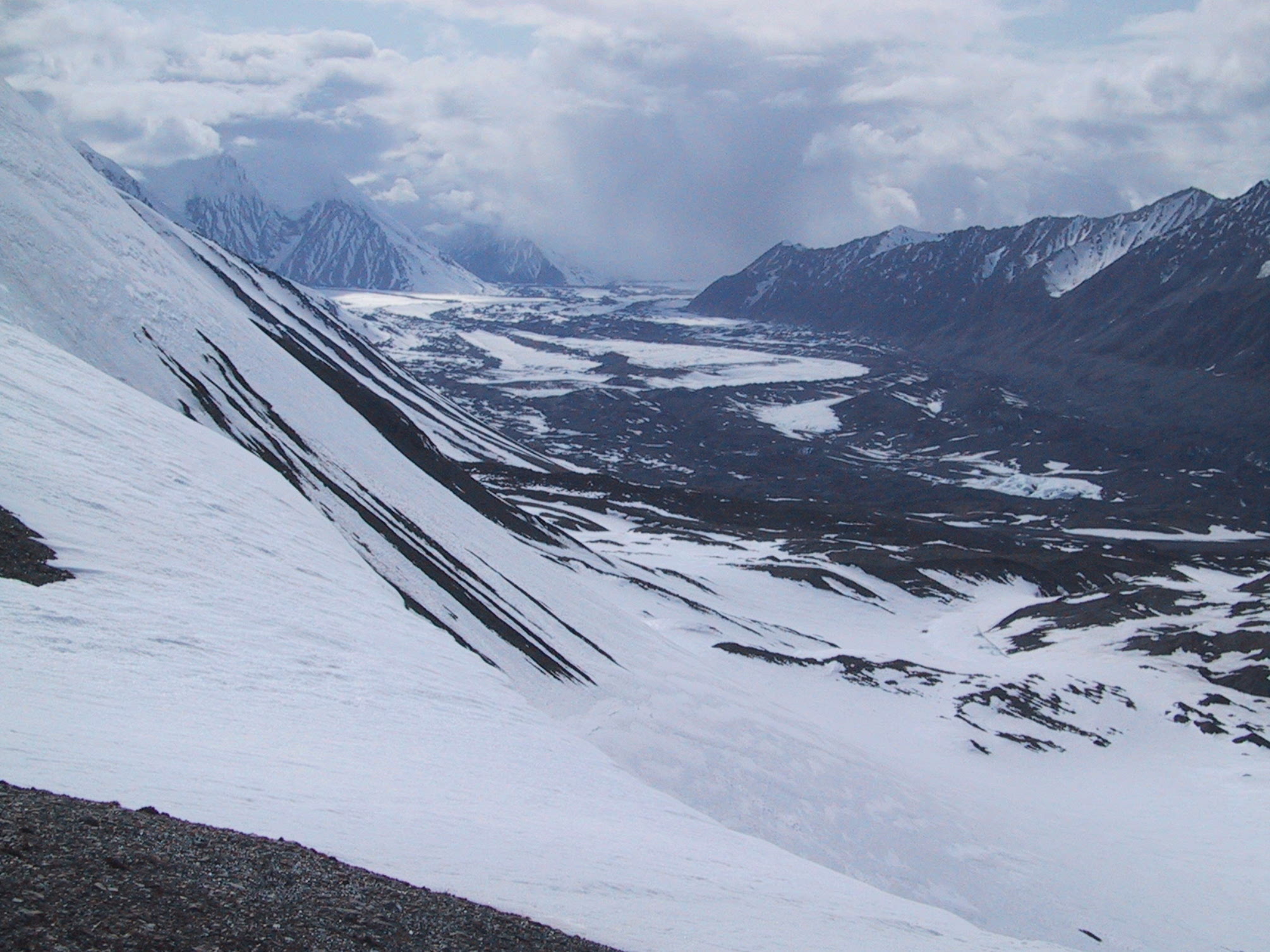
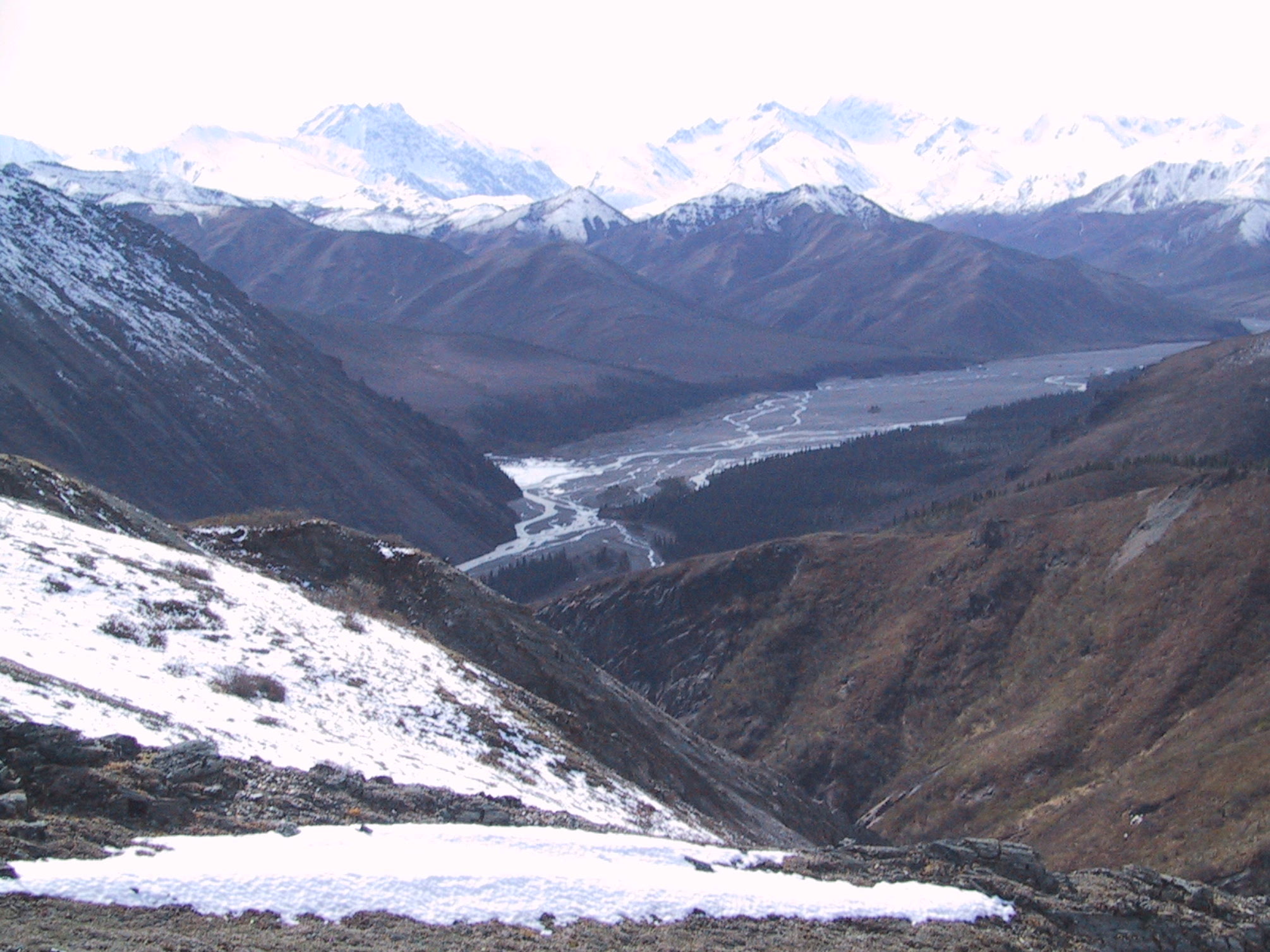
Descending into the Chulitna River valley - view east toward Easy Pass. |
|
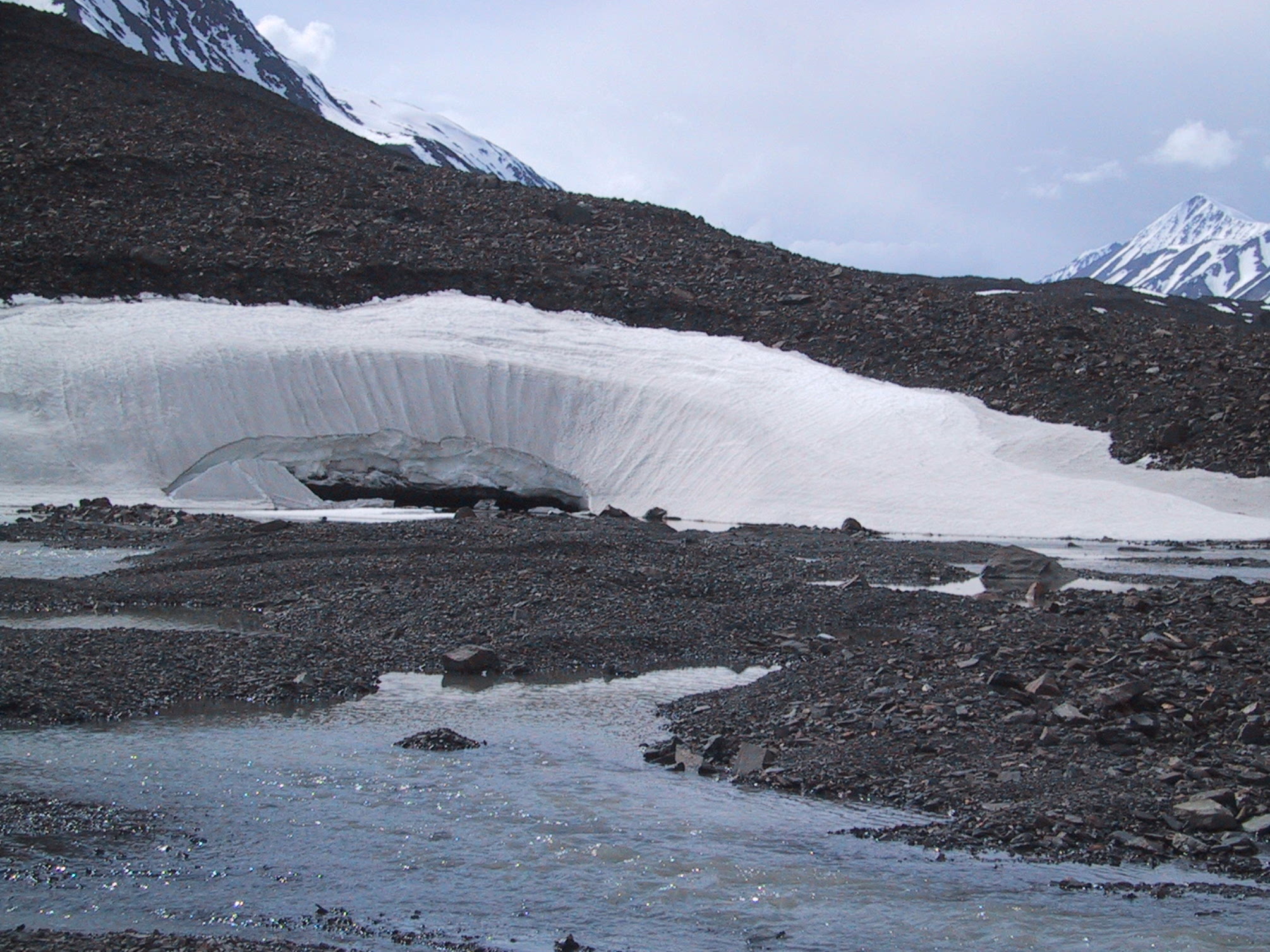
A few minutes later, the river cuts its way through some packed snow. |
|
OK, a lot of packed snow. |
|
We will return to hiking after this commercial interruption. |
|
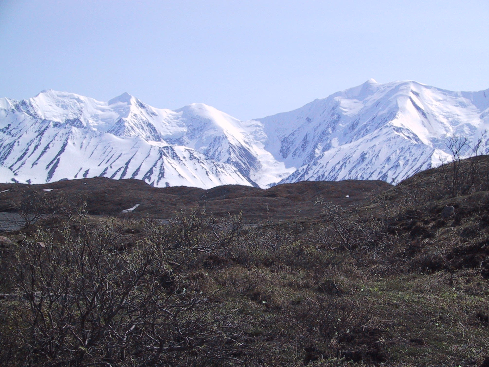
View southward from our campsite. We're back below 3000 feet, surrounded by wimpy tropical trees like fir and spruce. There's even some birch. |
|
The willows are budding as we take a break on the moraine. There are just piles of boulders everywhere - very slow going. |
|
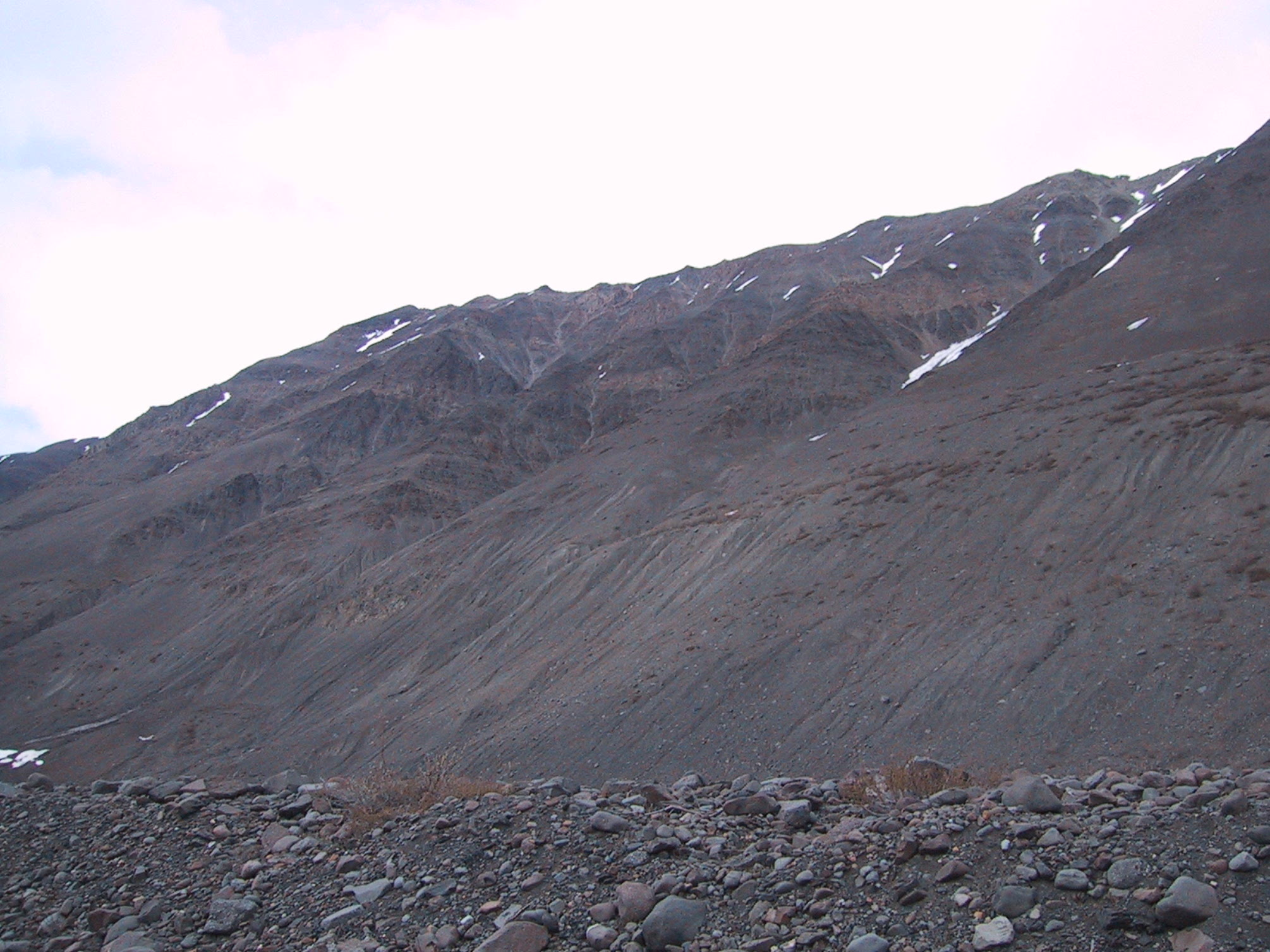
More of the sort of terrain I was talking about. |

|
At 3:45 we are within sight of the glacier itself. (Trust me, that's ice underneath the rocks and snow.) View westward toward Anderson Pass. |
|
Same time and place, view of north wall of valley - some of the bleakest terrain we'd yet seen. |
|
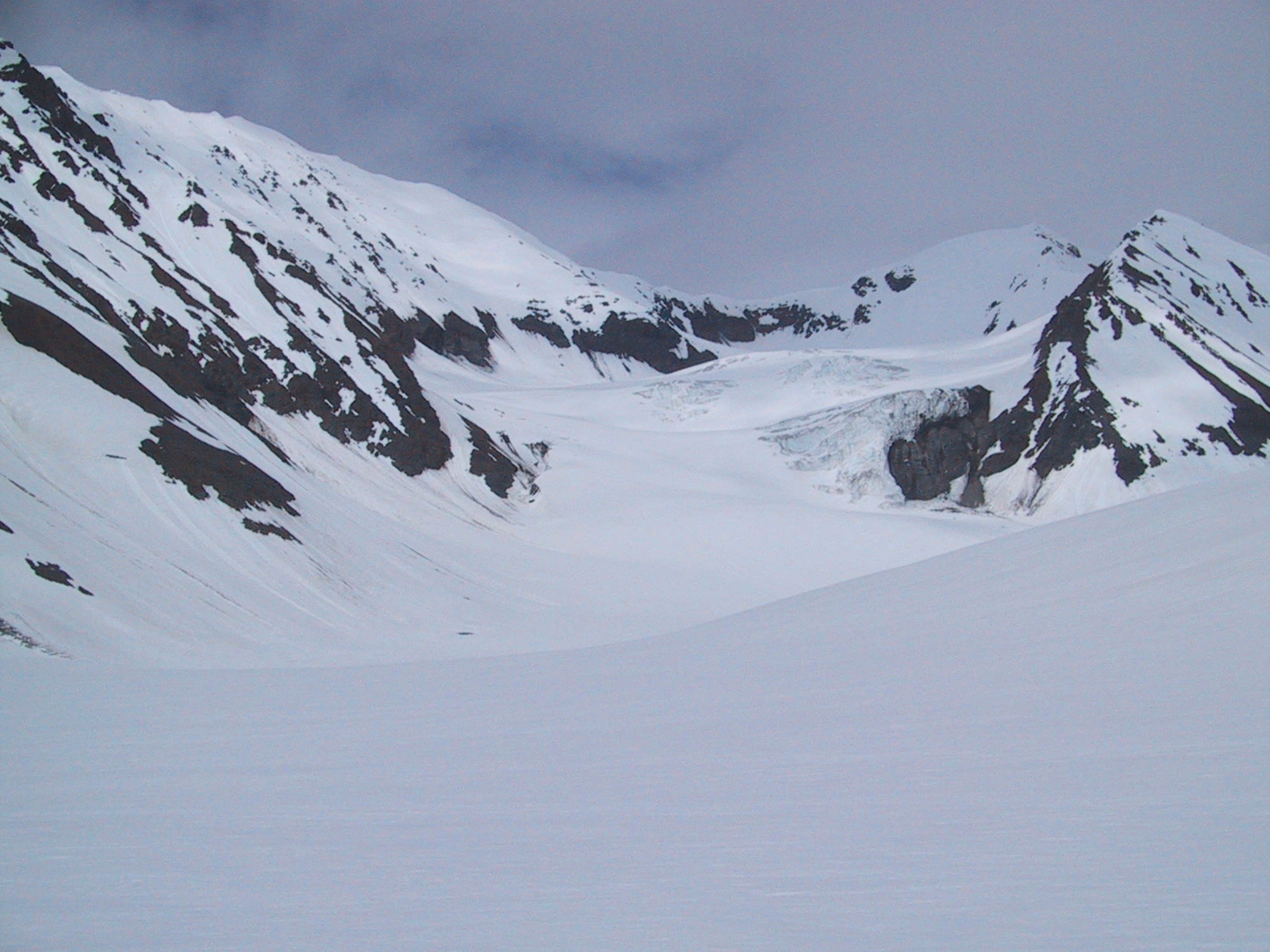
Another shot of the glacier's edge. |
|
Same spot, view back eastward. We'd camped at the foot of that saddle-shaped mountain the night before. |
|
Forty-five minutes later, we're actually at the glacier's edge. |
|
An hour's travel brings significant uphill progress... |
|
...which we figure should be rewarded with a nice picnic. |
|
Amazingly, the north side of the valley got even more desolate-looking than before. Several spots (none close enough for my puny lens) reminded us of those Mars Orbiter photos - dust-covered snow, gullies, then dust-covered ice. Here, a series of more Terran-looking gullies. You can't tell from the photo, but this face is nearly vertical. |
|
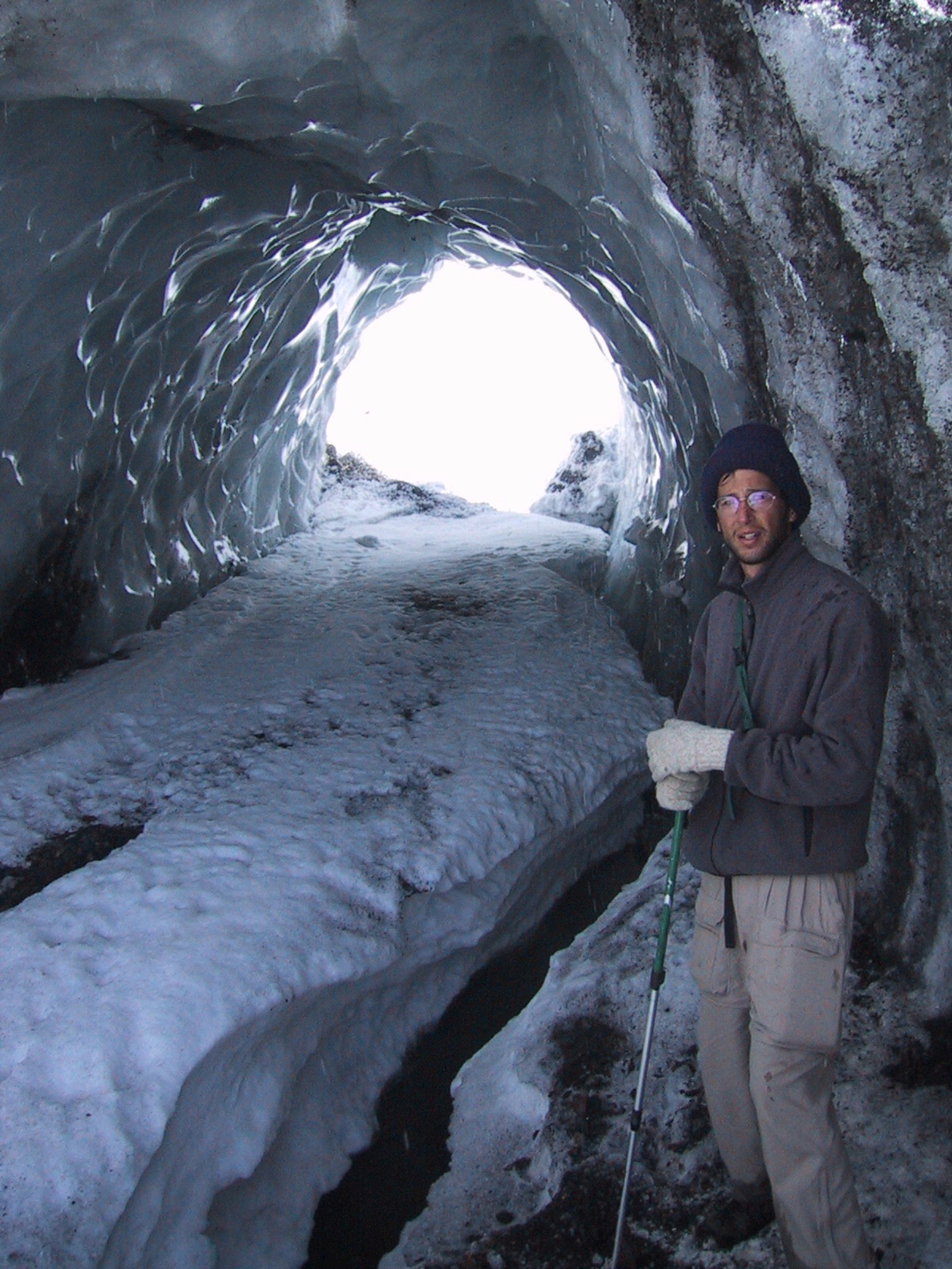
Midmorning as we approach Anderson Pass (out of sight to the right). We'd camped on the glacier itself the night before -- actually on a six-inch-deep bed of loose shale on top of the glacier. We basically pitched our tents on a bunch of stone knives. Somehow I didn't think to take a picture - but Michael did: the photo is here . |
|
Same time & place, view east by southeast. |
|
We continue to hike up the glacier as the clouds lift. |
|
A bit later, a pause to see how much glacier we've climbed already... |
|
...and how far we'd gotten from the river valley below. The campsite from two nights before is still visible. |
|
Ten minutes later, Anderson Pass is visible (on the right), though first we have to pass the junctions with two small glaciers (valleys on the left). |
|
See, I wasn't lying when I said there was ice under there! |
|
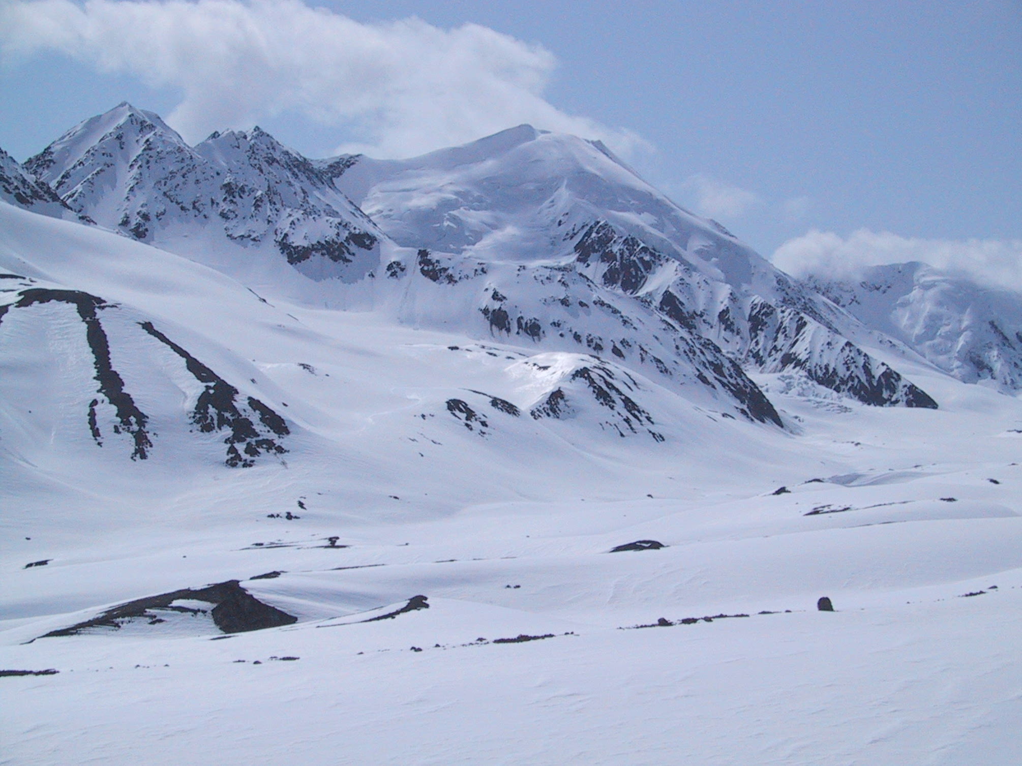
Around 2 PM, we're up in the middle of a bunch of glaciers. |
|
Glaciers are photogenic... |
|
Especially when light clouds make for slight changes in illumination... |
|
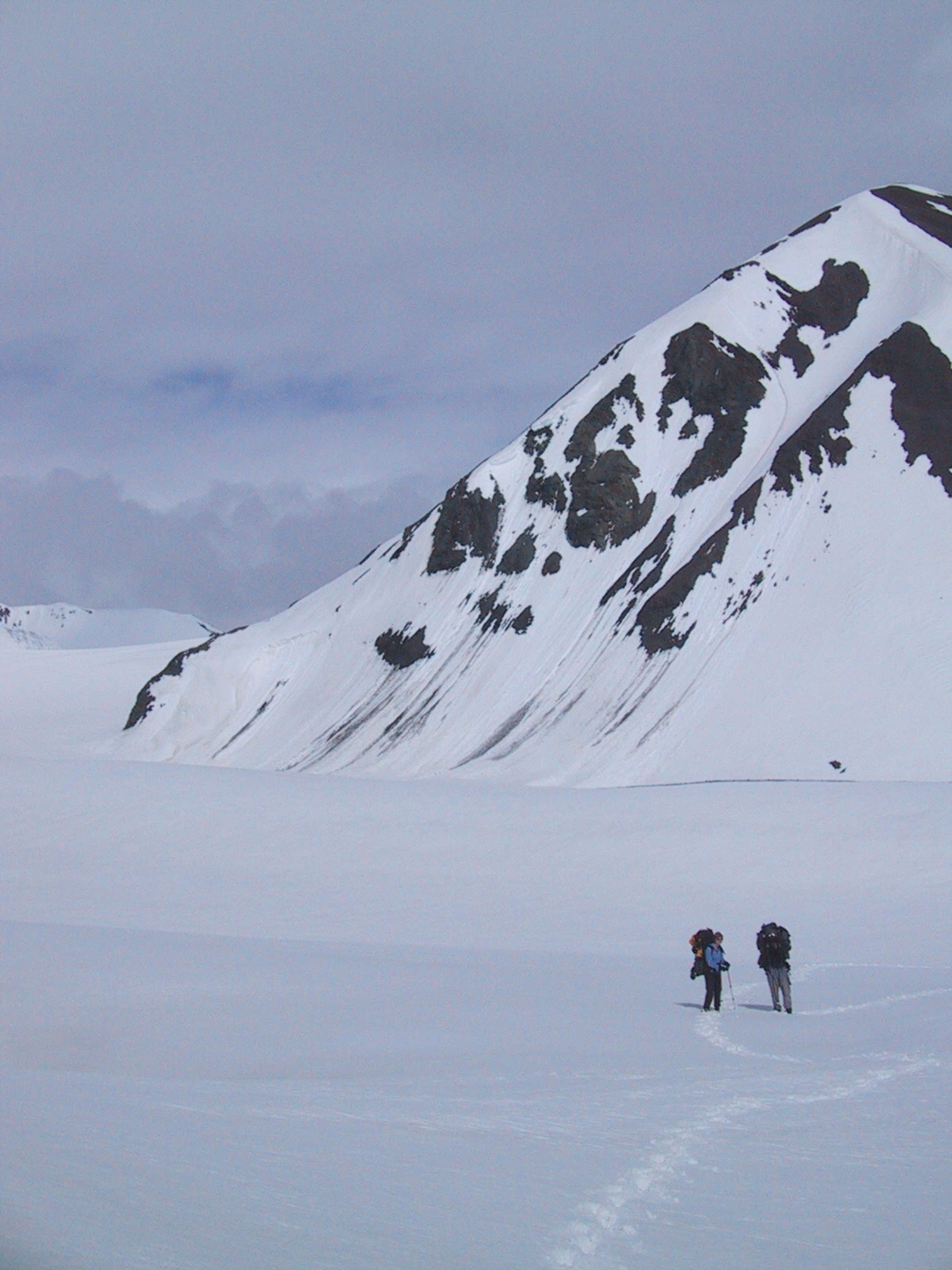
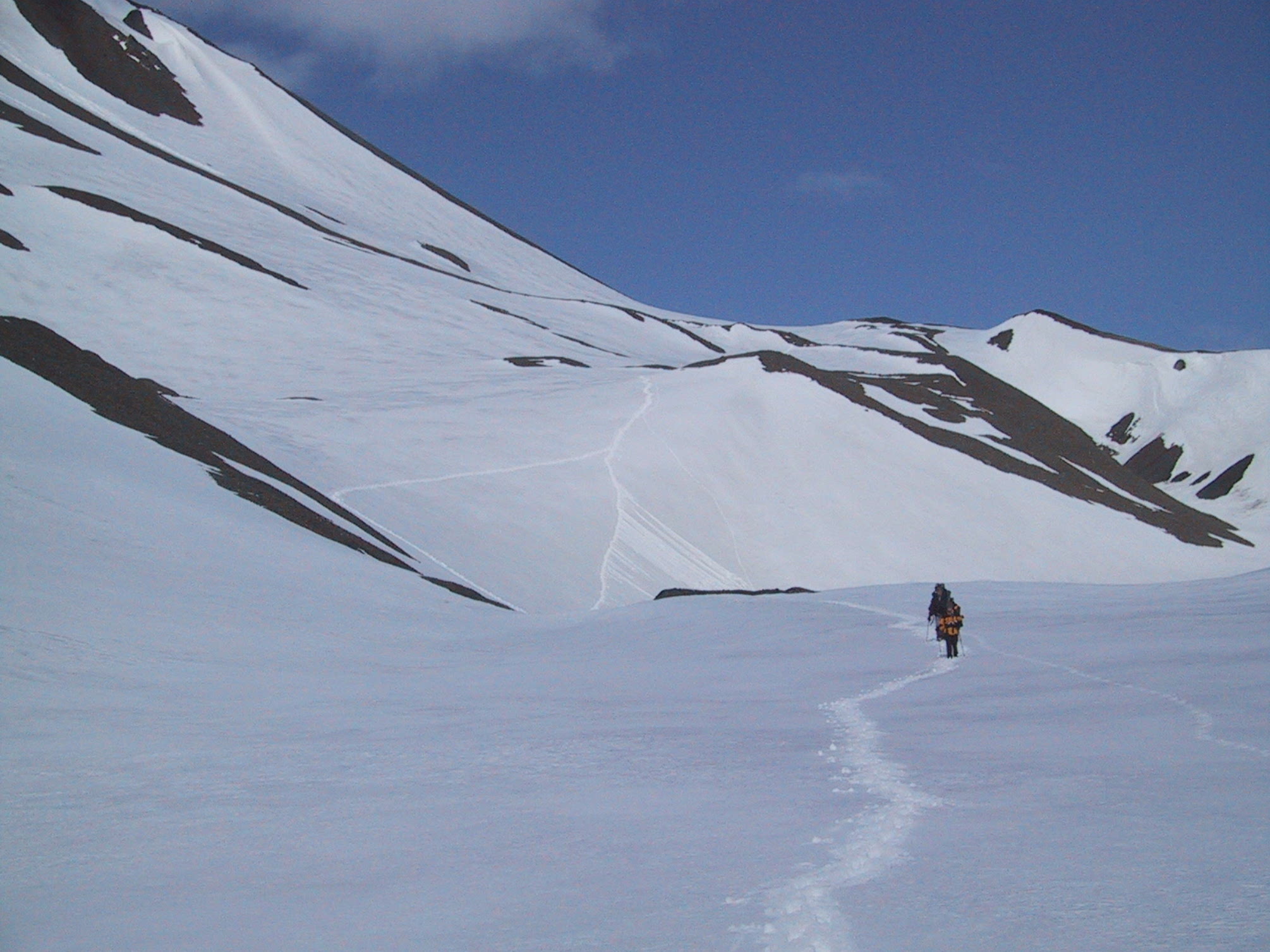
And walking a little while gives you slightly better angles. |
|
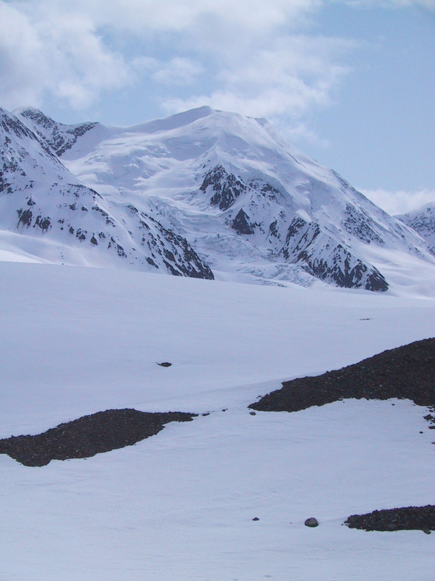
That saddle-shaped mountain is finally starting to look distant as we near the crest of the pass. |
|
But we still have to pass two more glaciers: one on the left... |
|
... and one on the right. |
|
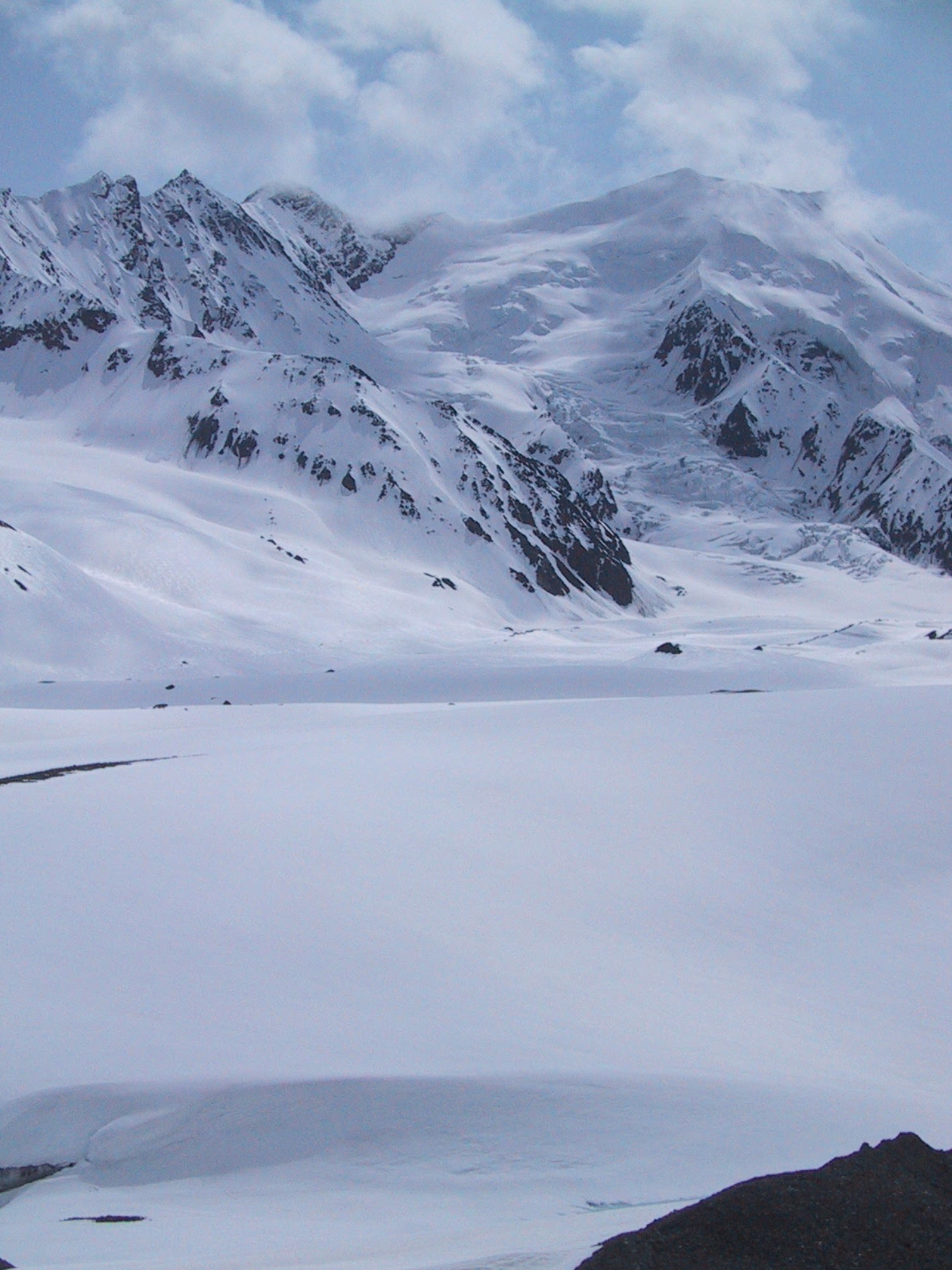
Almost there... |
|
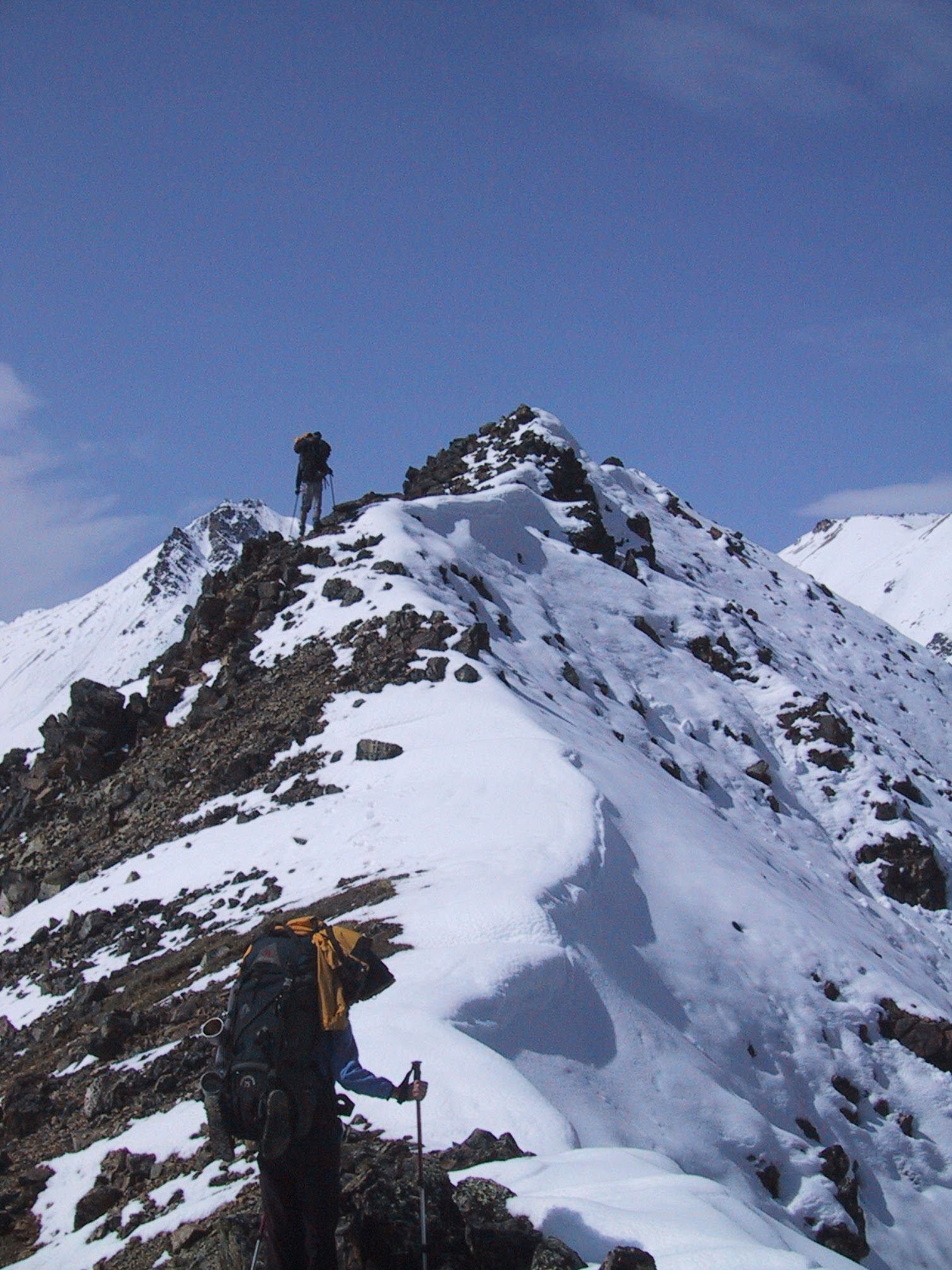
This is the top! |
|
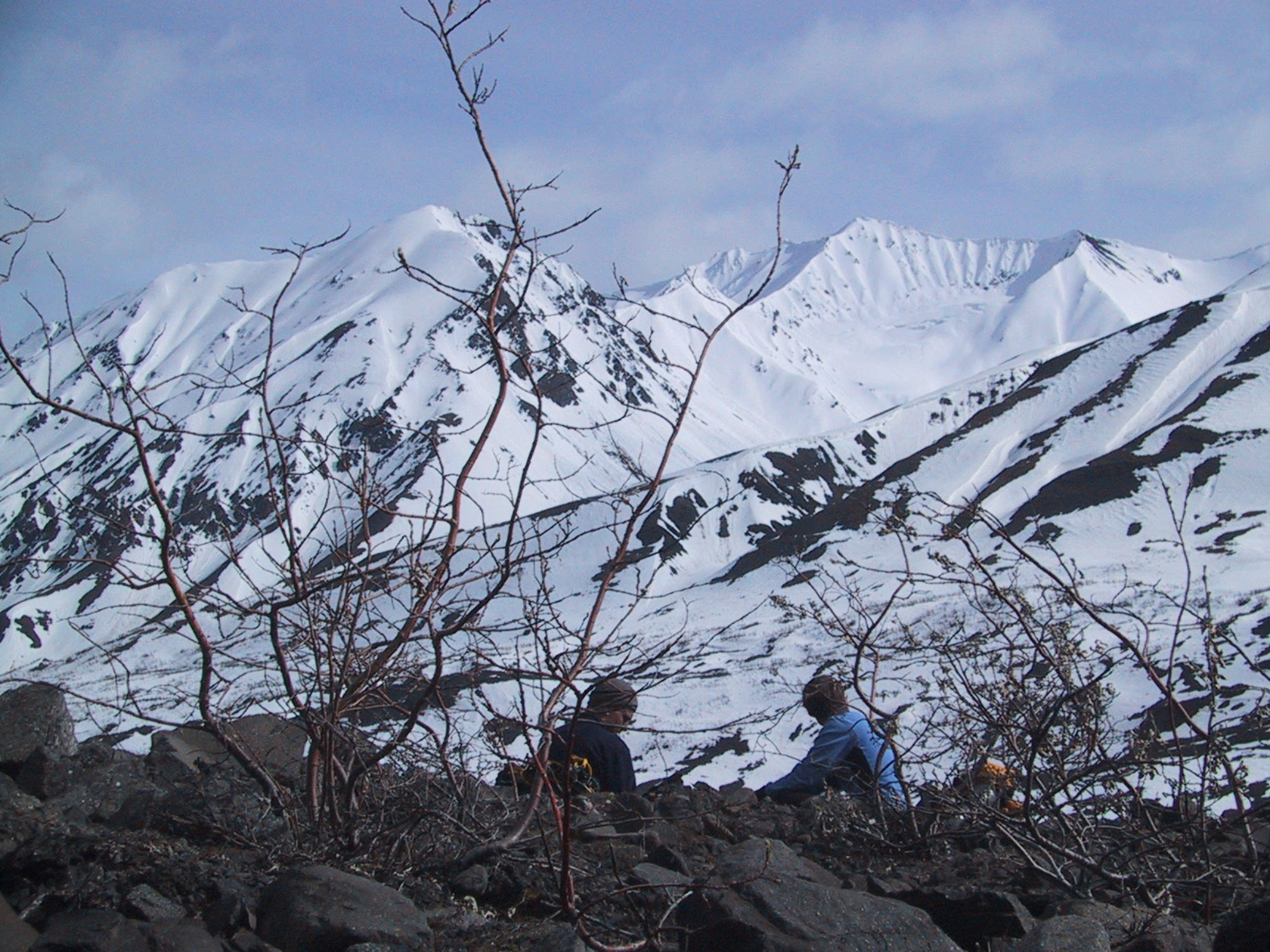
It's windy up here, but sometimes you just feel entitled to take a break... |
|
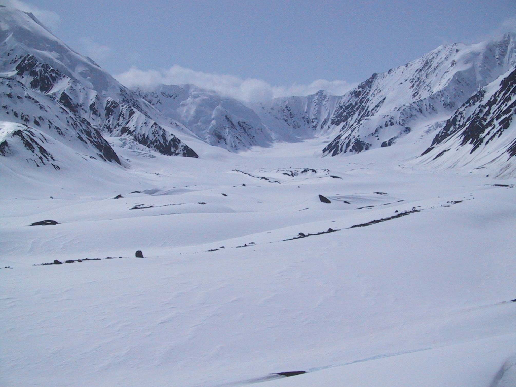
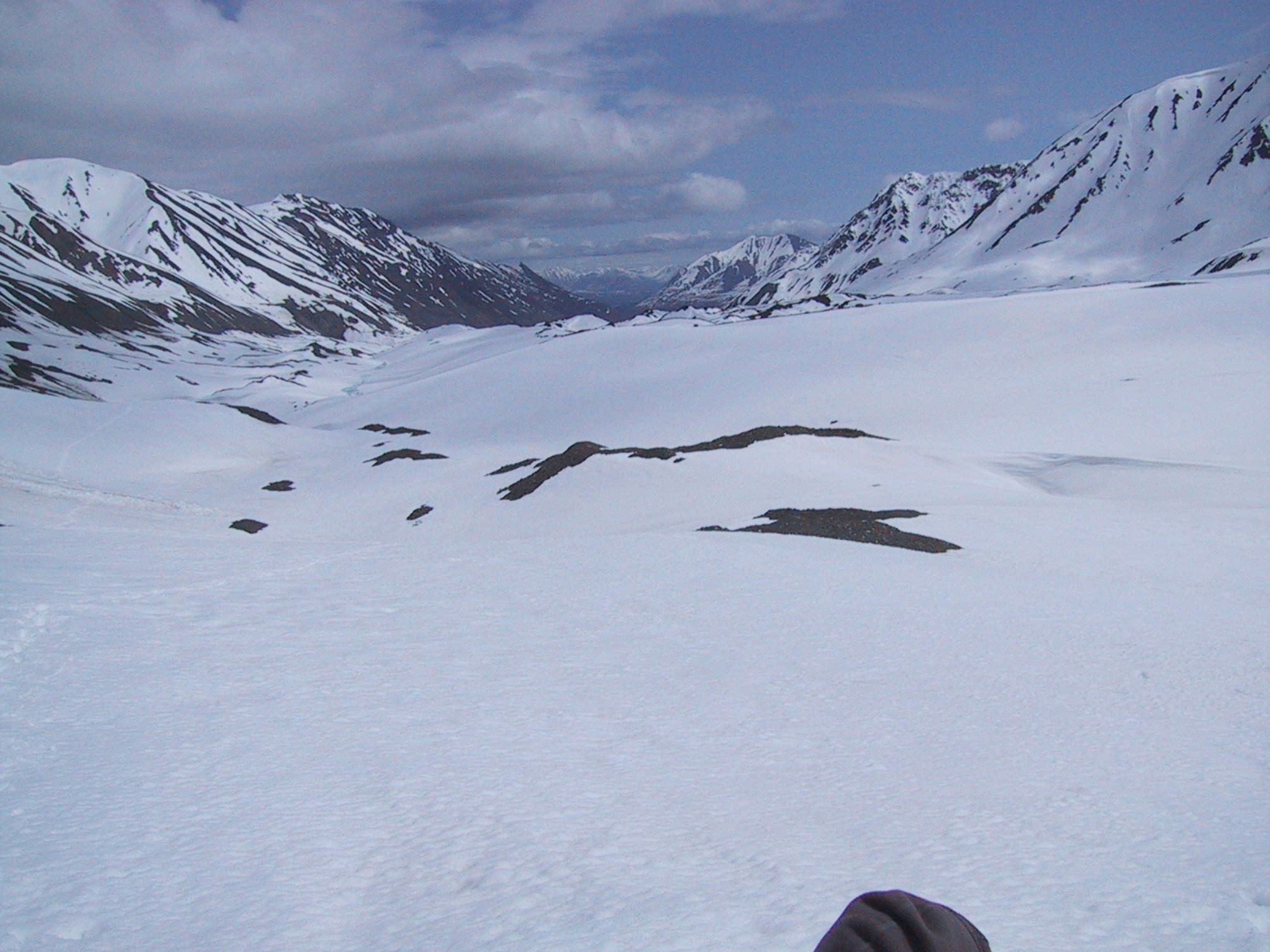
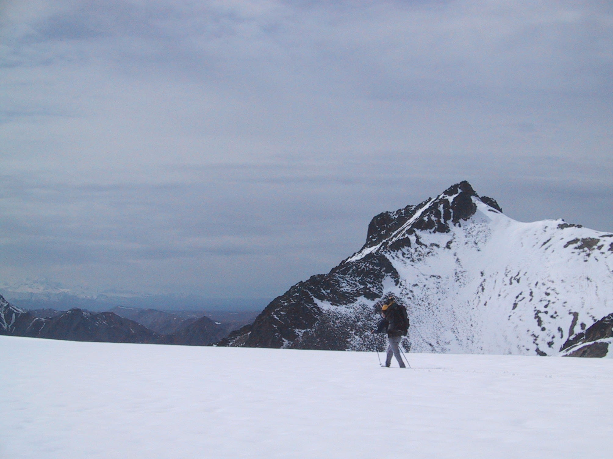
...and enjoy the view of the Muldrow Glacier. Mt Denali is behind those clouds somewhere. |
|
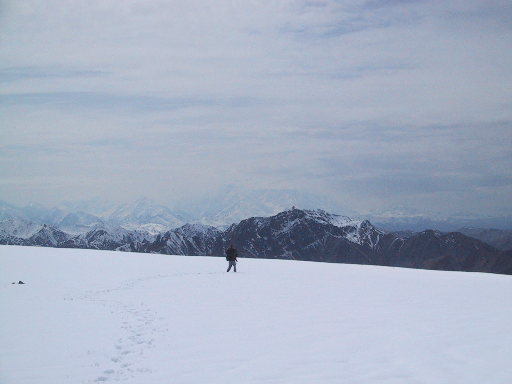
Coming down from Anderson pass. There are three sets of footprints in this photo. My prints are in the foreground, of course, and it's my trail that has all the snowslides in the middle distance. Justyna & Michal took the detour on your left. To the right of my trail is a fresh set of grizzly bear tracks. |
|
Judging by my map, those clouds are about 8700 feet above sea level. |
|
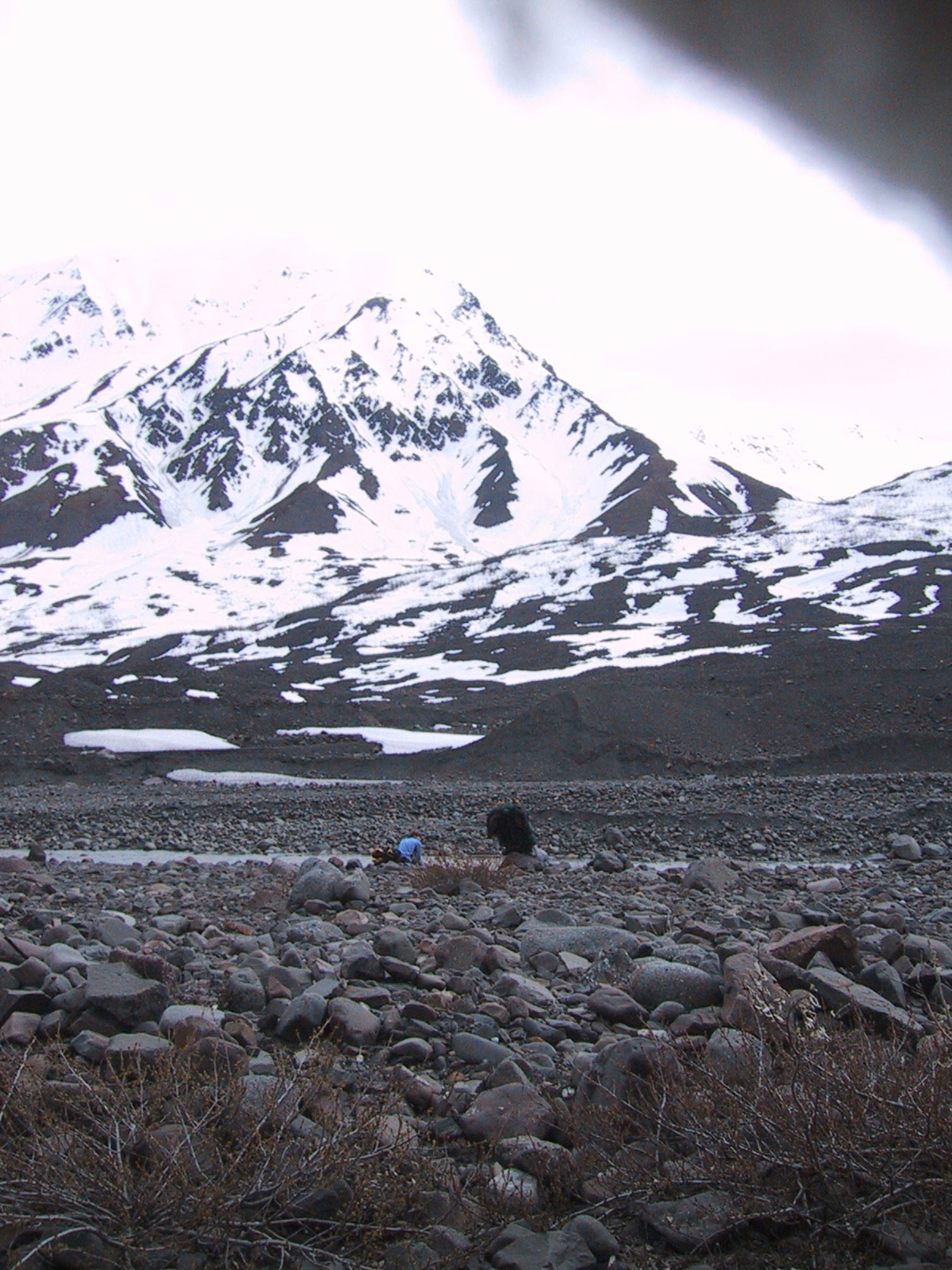
Around noon, the ground squirrels are chirping, the marmots are eyeing us warily, and Glacier Creek is flowing. Muldrow Glacier is buried several feet under that tundra. |
|
By 3:00, Glacier Creek starts looking awfully dry. |
|
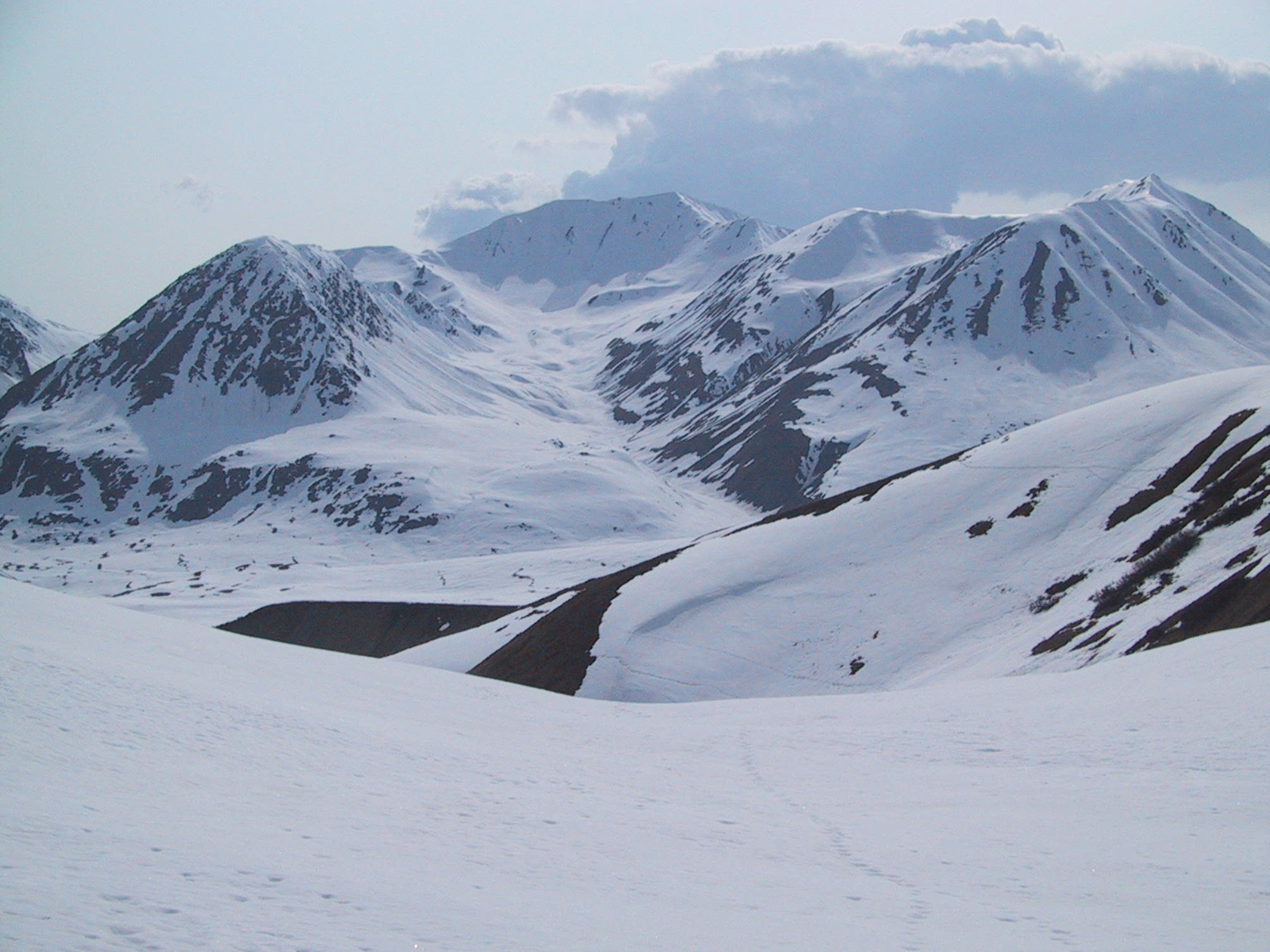
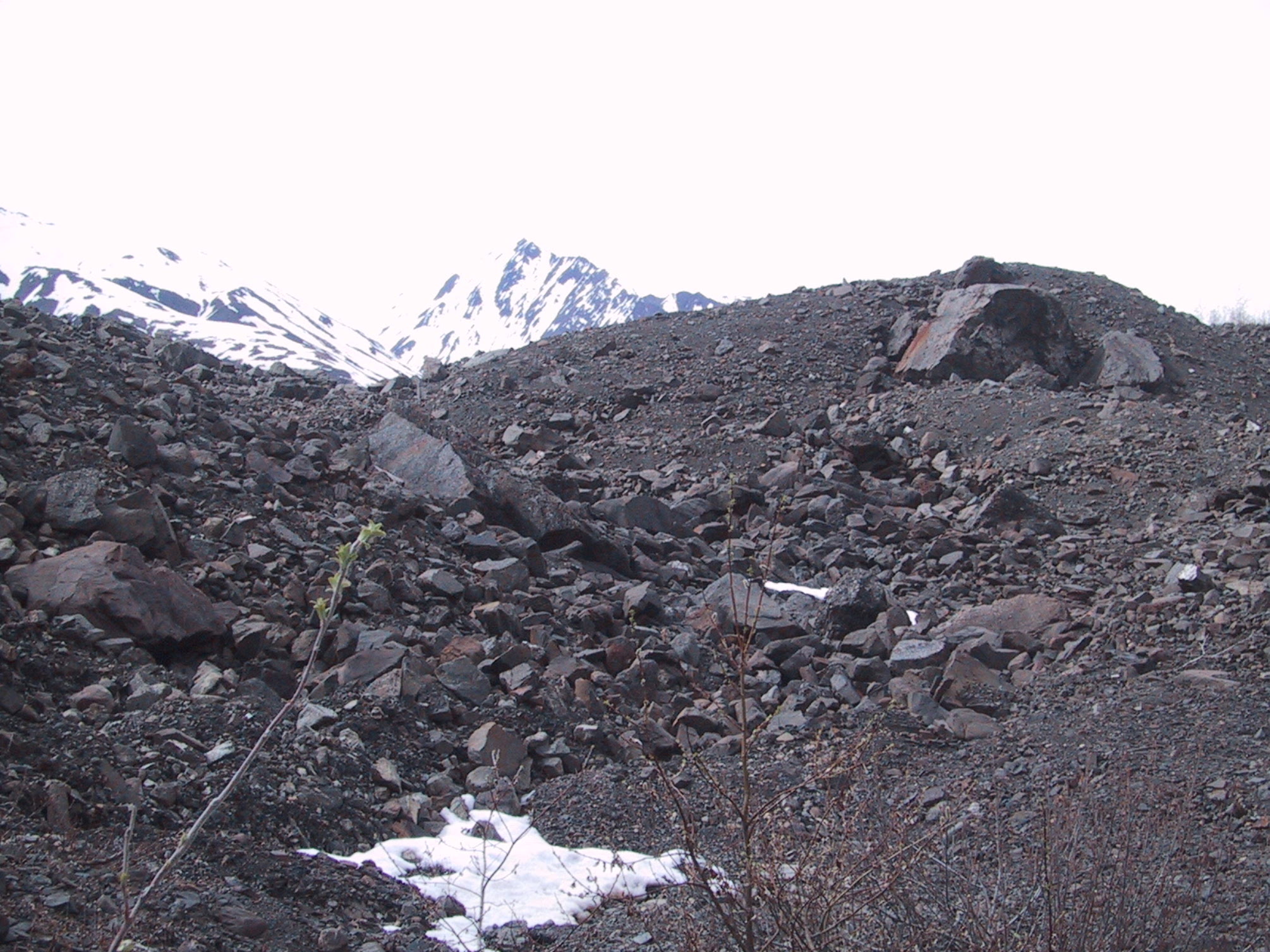
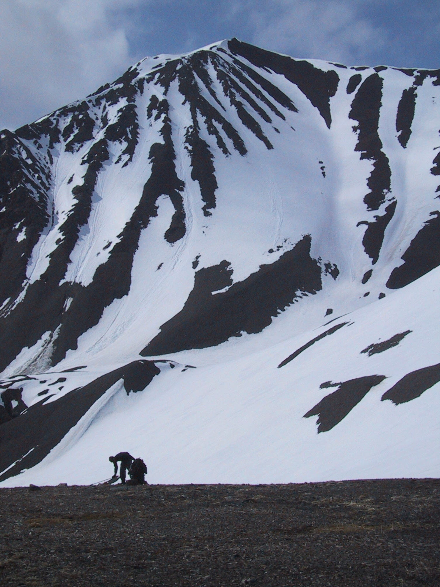
But at least the mountains are photogenic. |
|
Glacier Creek, with water flowing again. |
|
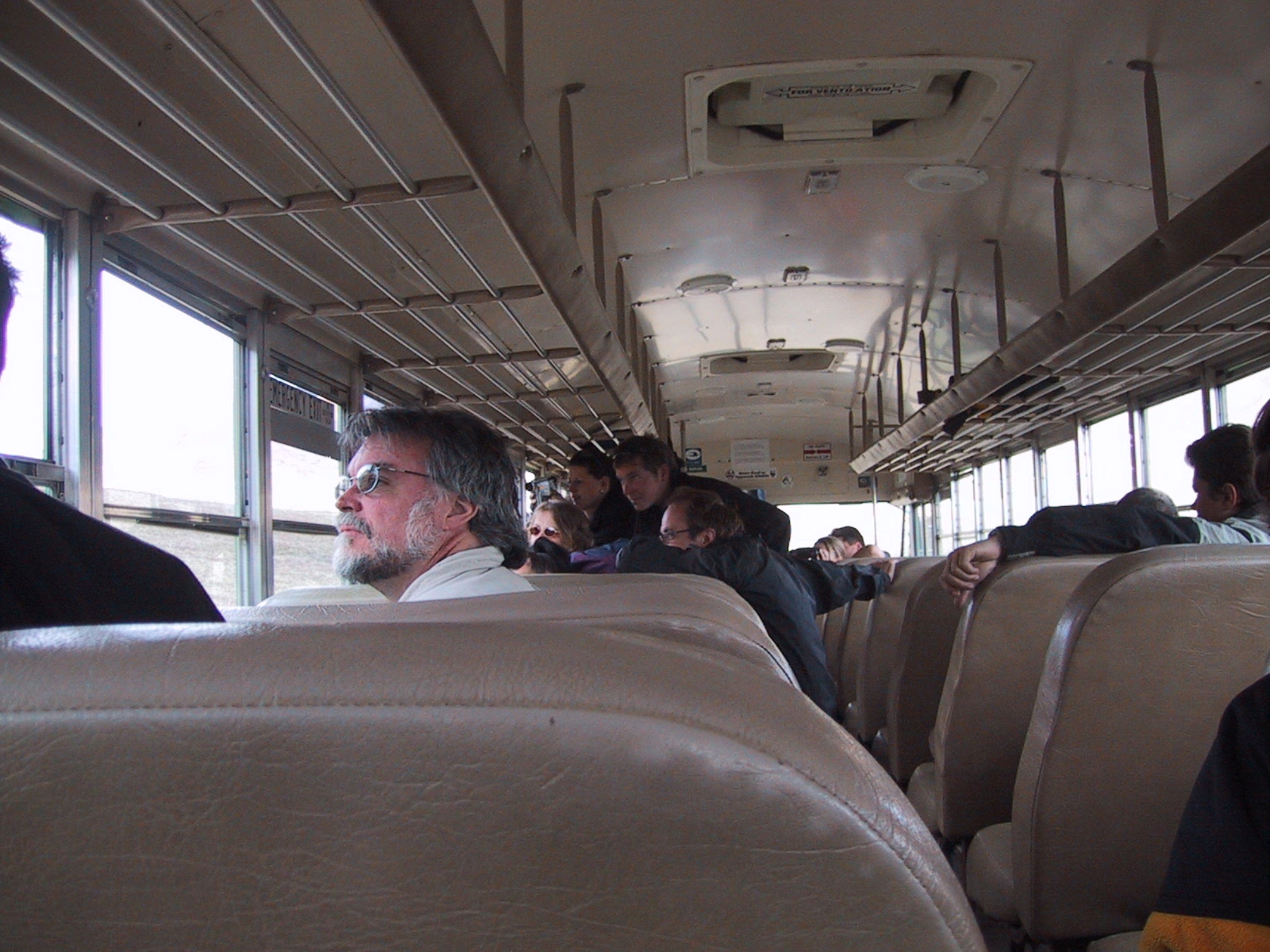
There's one road in Denali National Park, that's travelled by tour buses. We hitch a ride back to the park entrance for food, fuel, and a bit of rest. This is what the inside of the bus looks like when someone spots a bear out the window (too far away for my feeble camera lens, alas). |
|
The bus turns out to be a good means of getting close to caribou- they're accustomed to the buses going by all the time. |
|
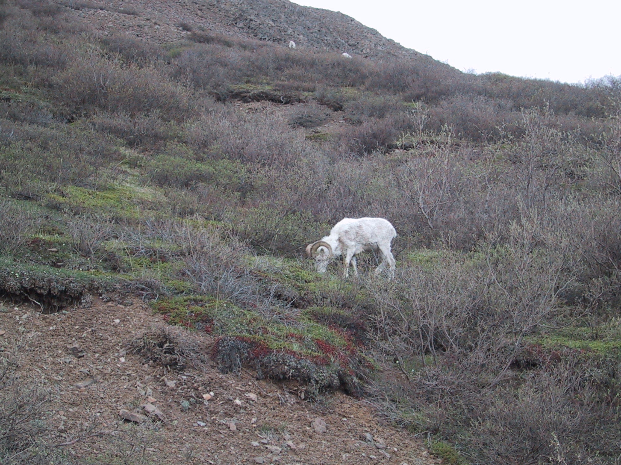
Ditto for the Dall's Sheep. |
Plus a bus ride out to the East Fork of the Toklat.
|
Morning view from our campsite on the east slope of the Wyoming Hills. |
|
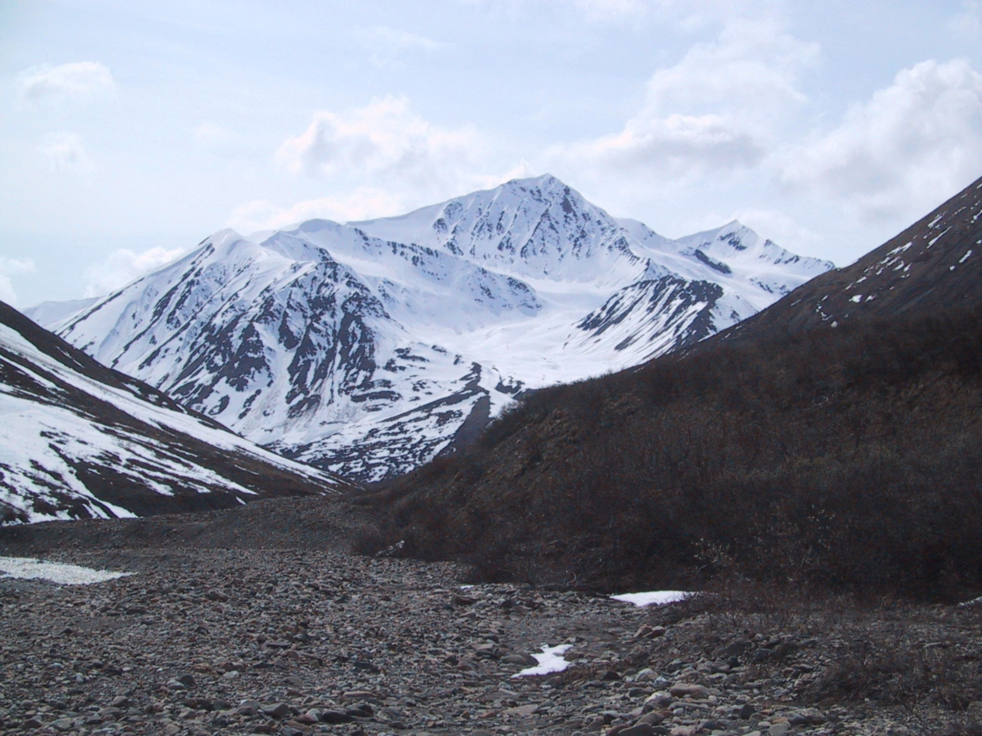
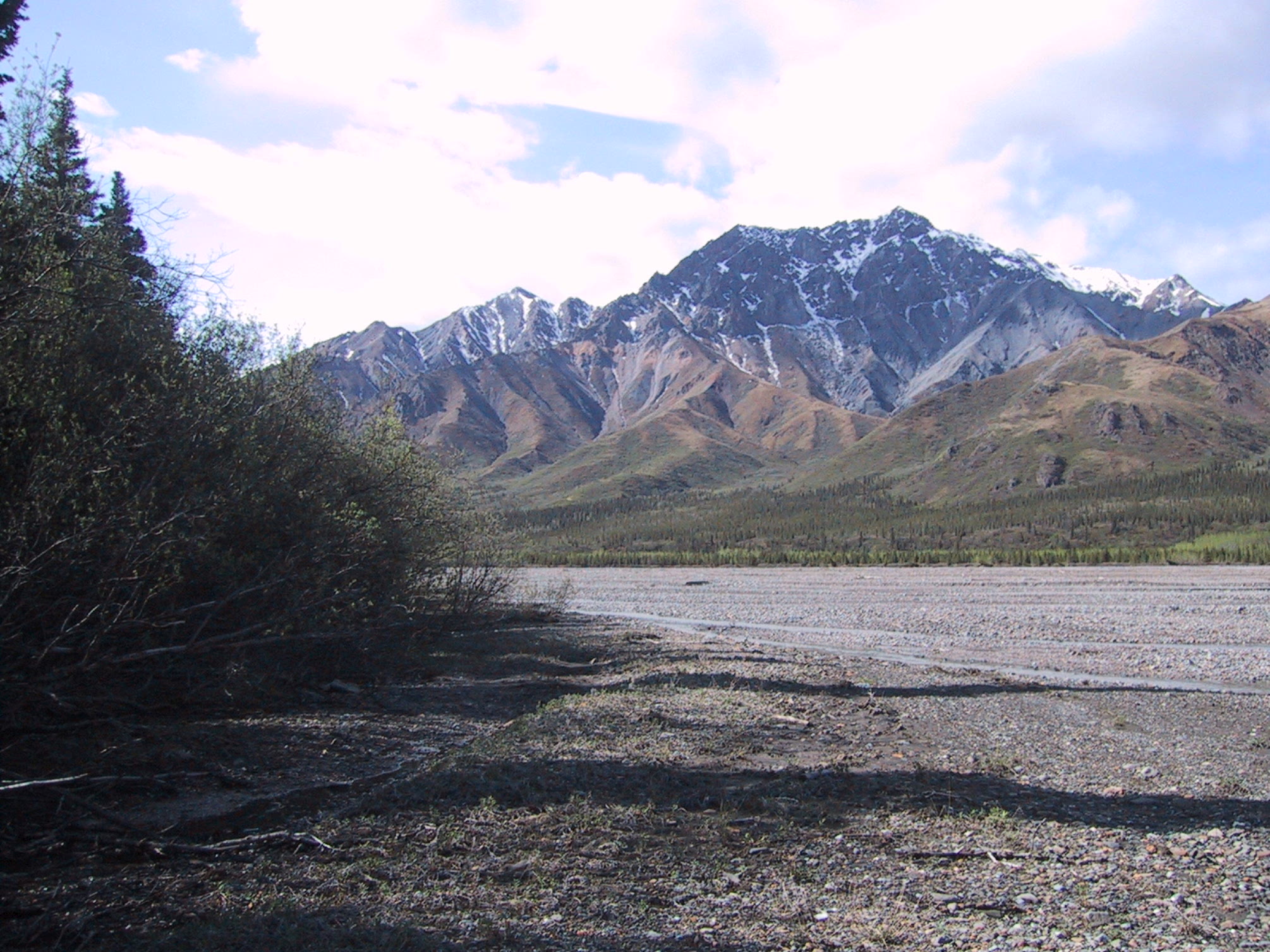
View southward along the Toklat River East Fork, taken not far from that campsite. |
|
As you can see, what was rain down in the river valley fell as snow up here. |
|
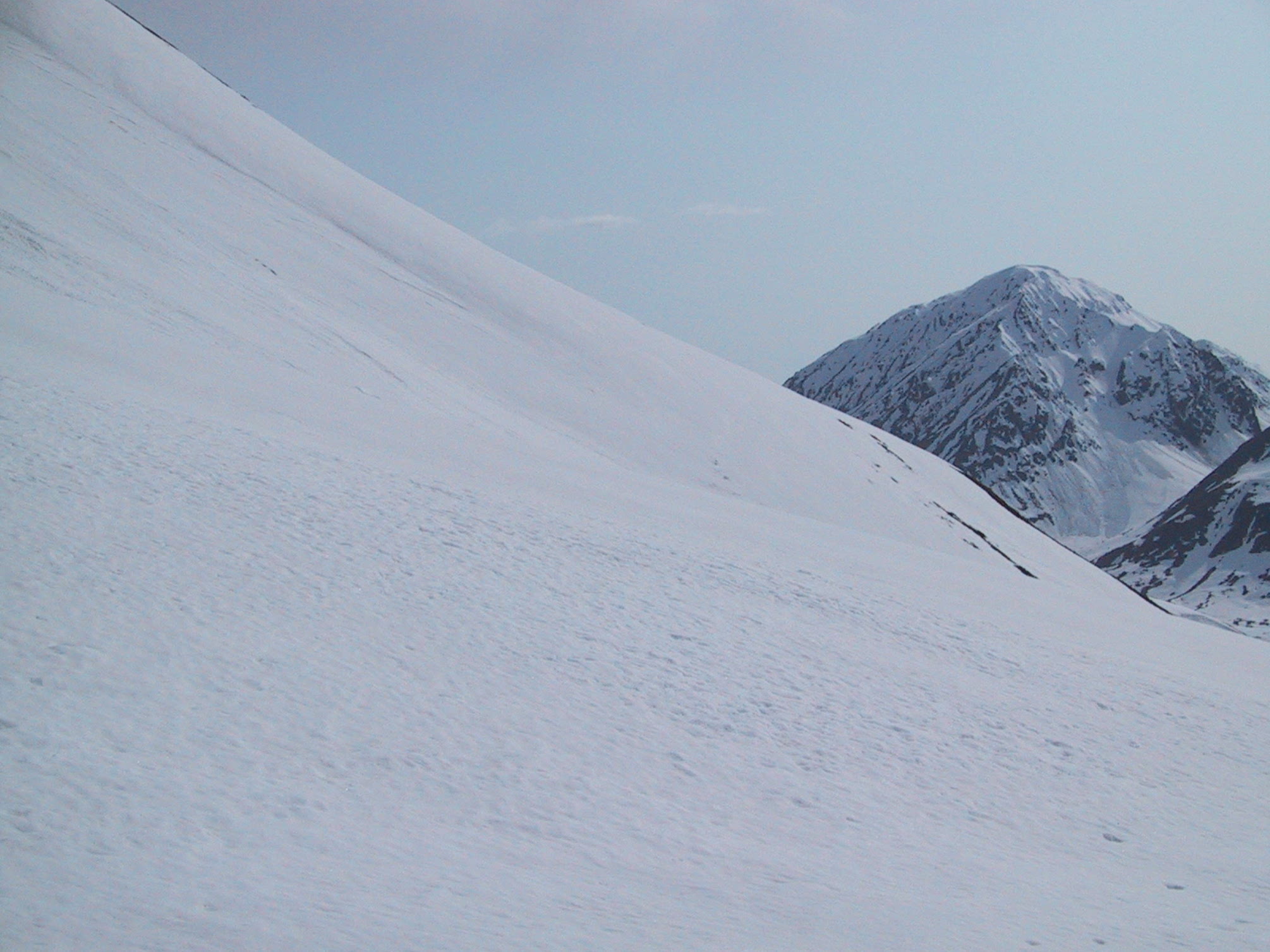
The higher you go, the better the view. We were headed up to about 5500 feet. |
|
Actually, here we were at about 5800 - we had to climb the ridge a bit to get around the fresh, deep snow. |
|
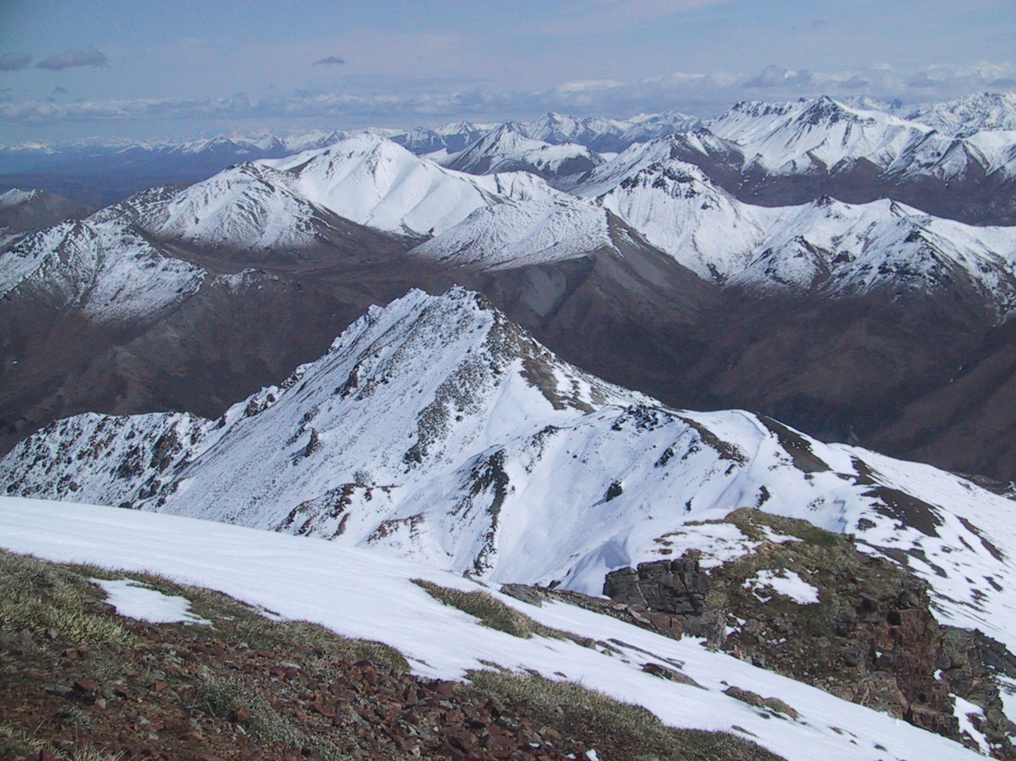
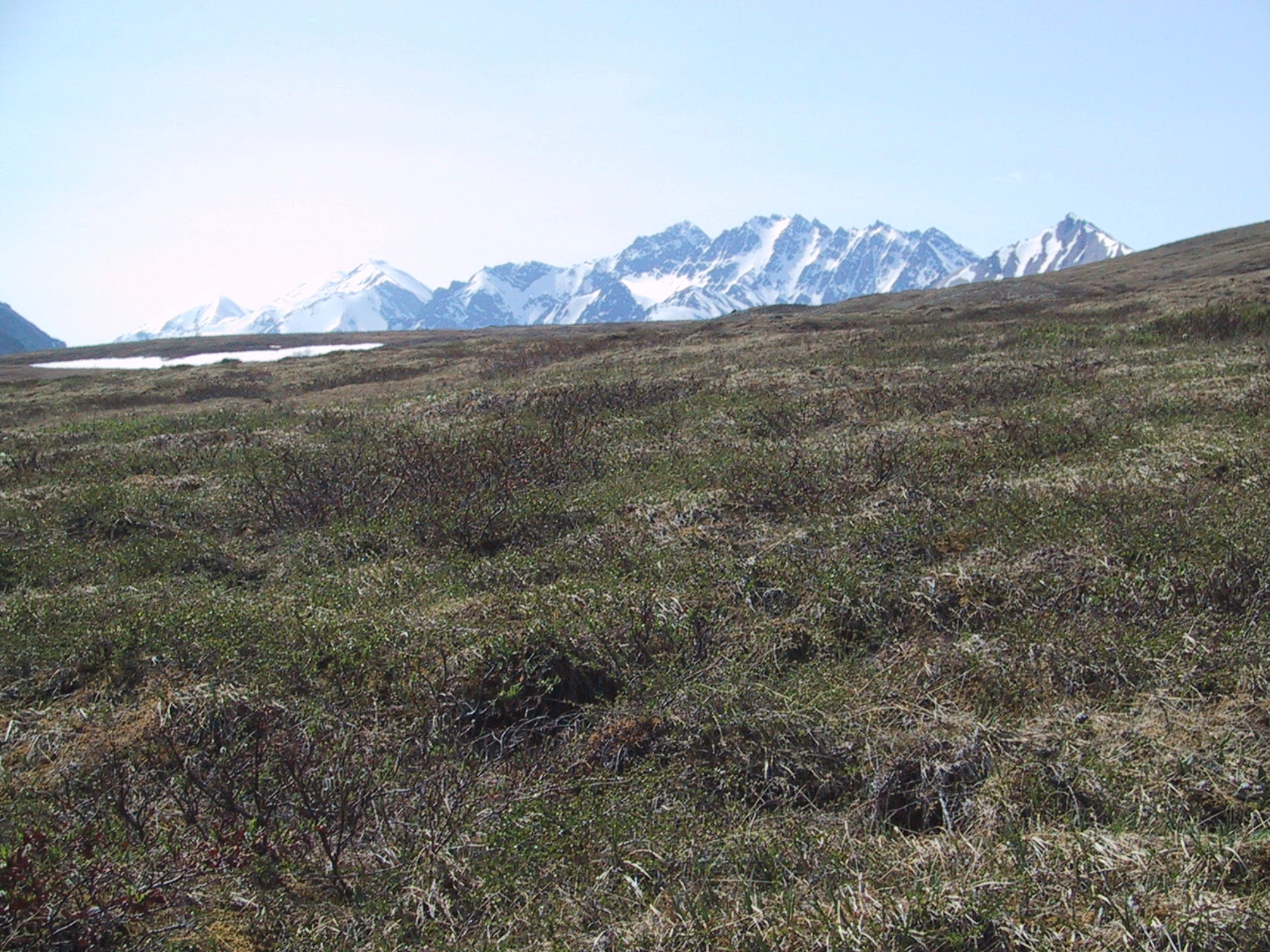
View east-northeast from the top of the Wyoming Hills. |
|
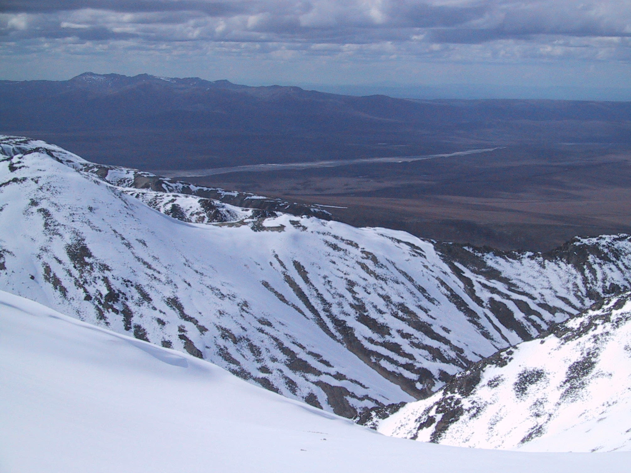
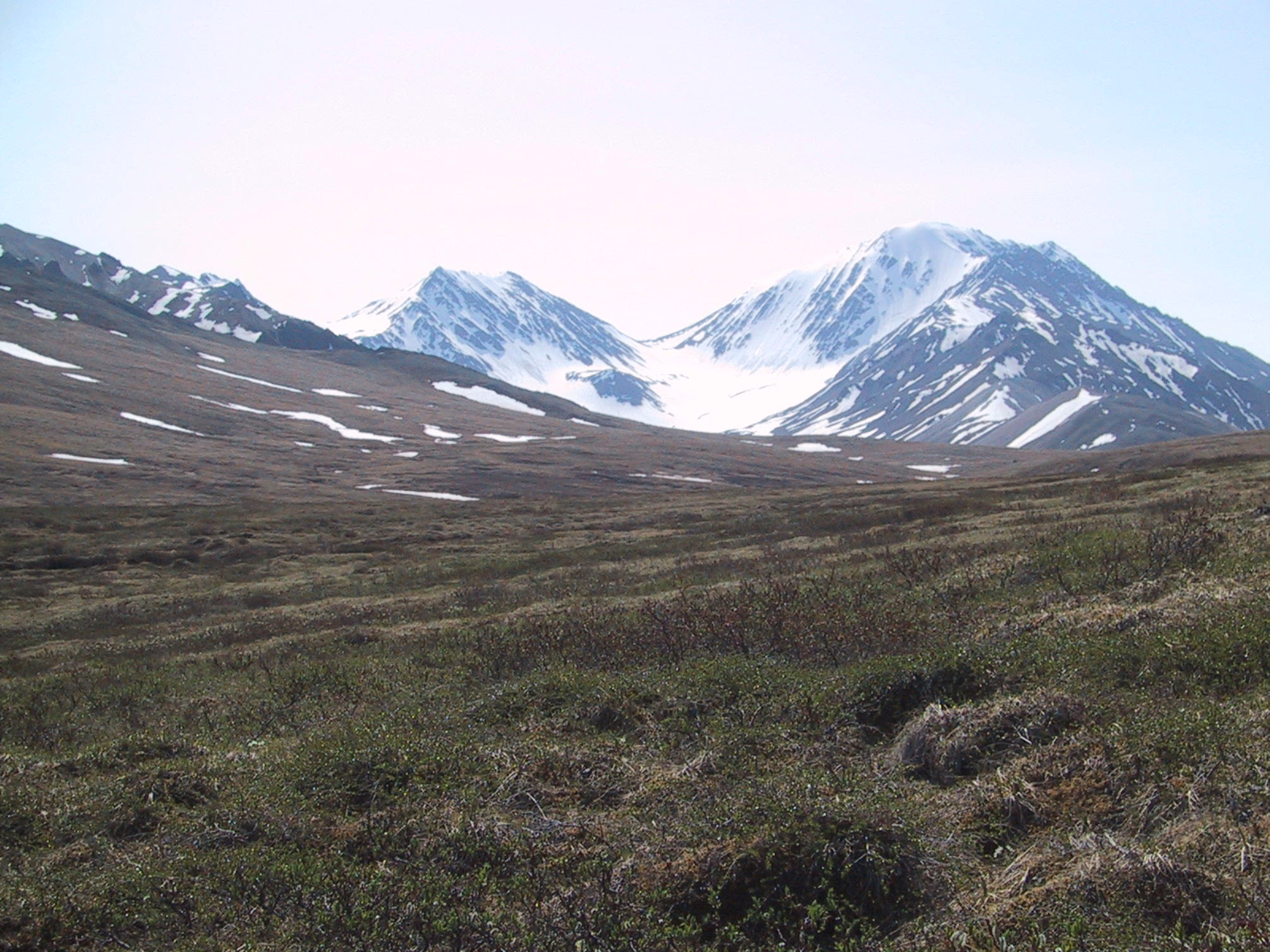
Starting to descend - view to northwest. That's the Toklat River (main branch) in the distance. |
|
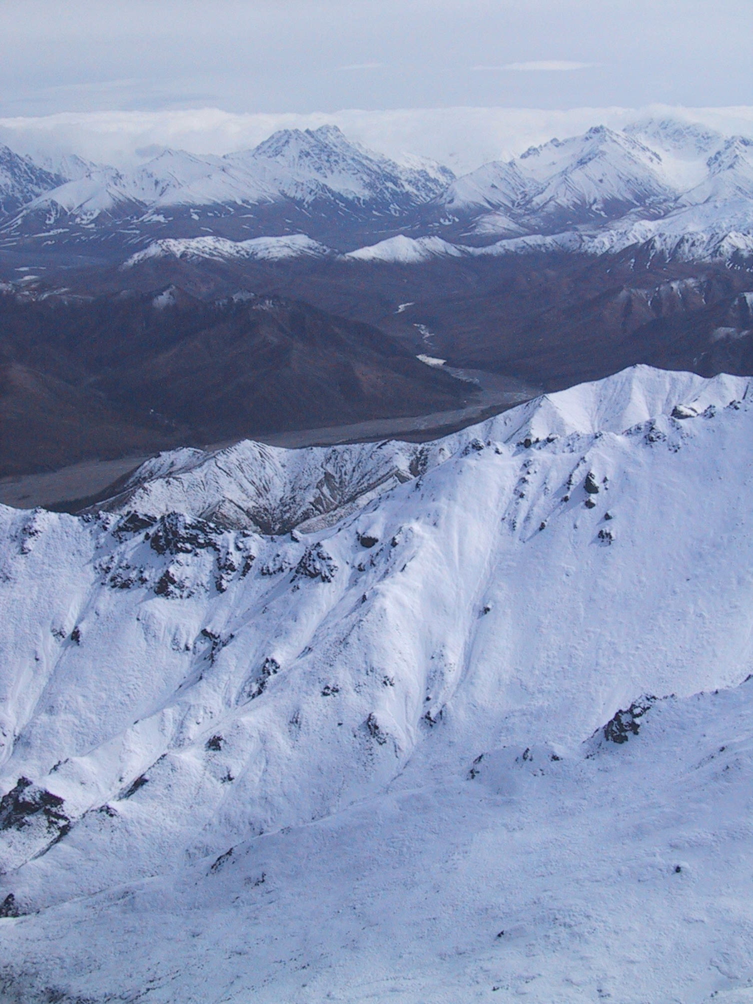
Same spot up on the ridge, view back South (Toklat River East Fork). |
|
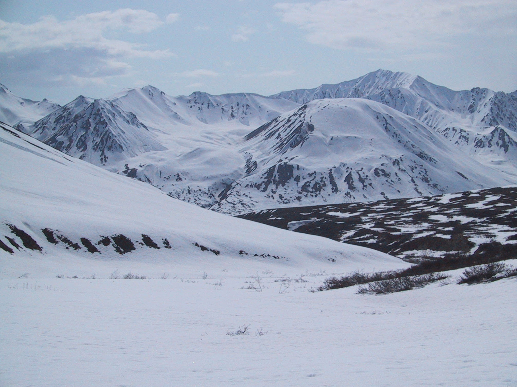
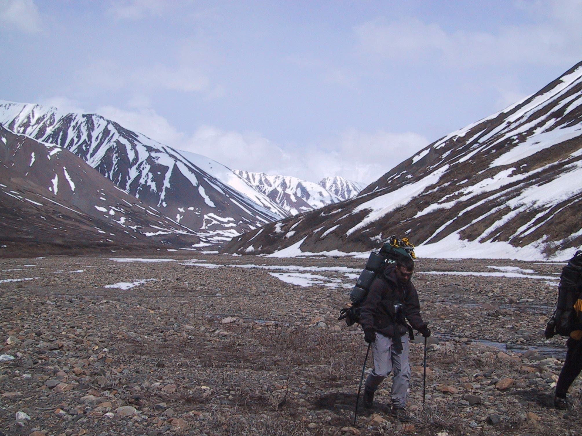
Two hours later, we were in the tundra of a north-facing valley. |
|
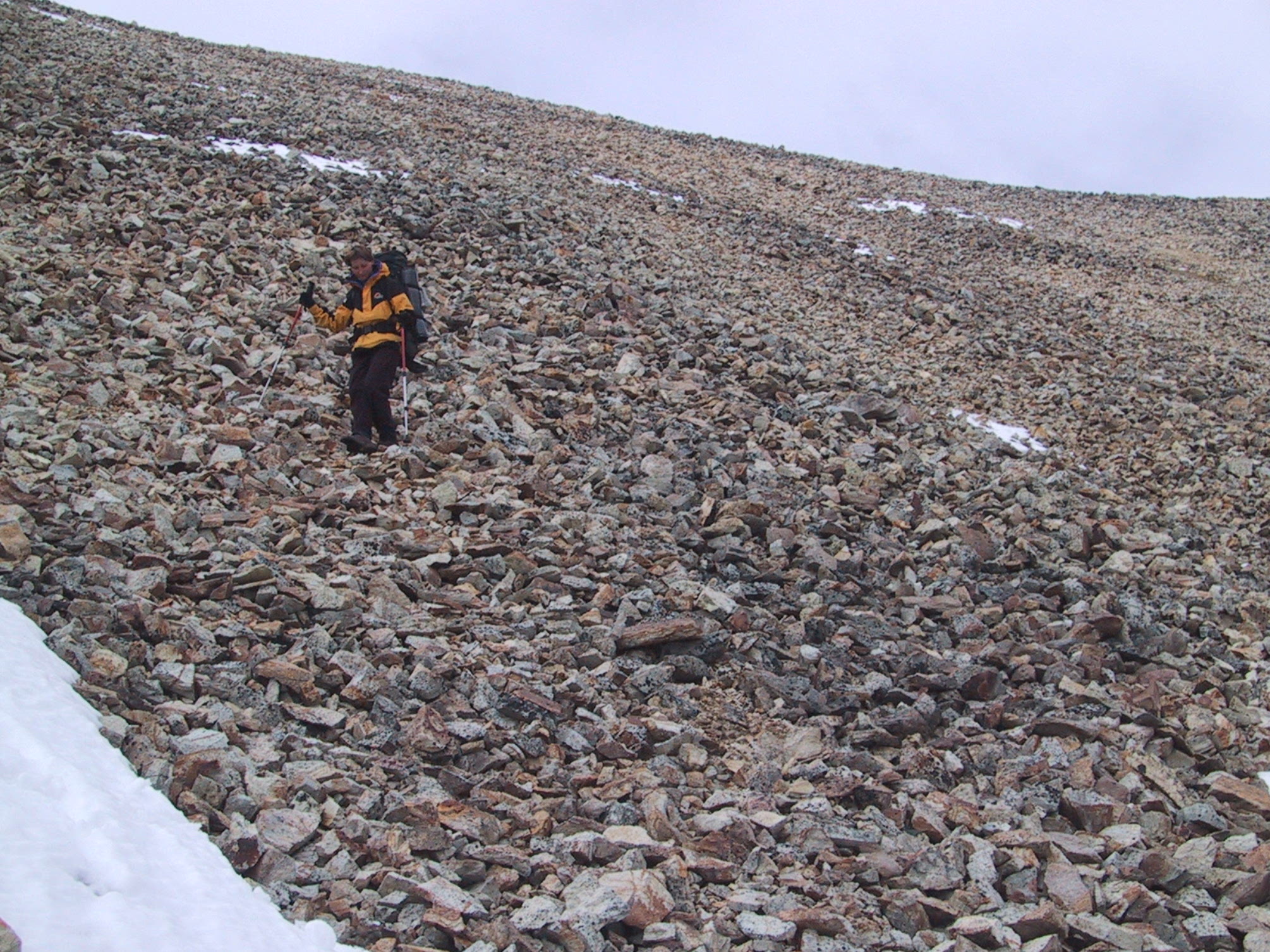
The terrain wasn't easy: there were loose boulders... |
|
Fields of snow... |
|
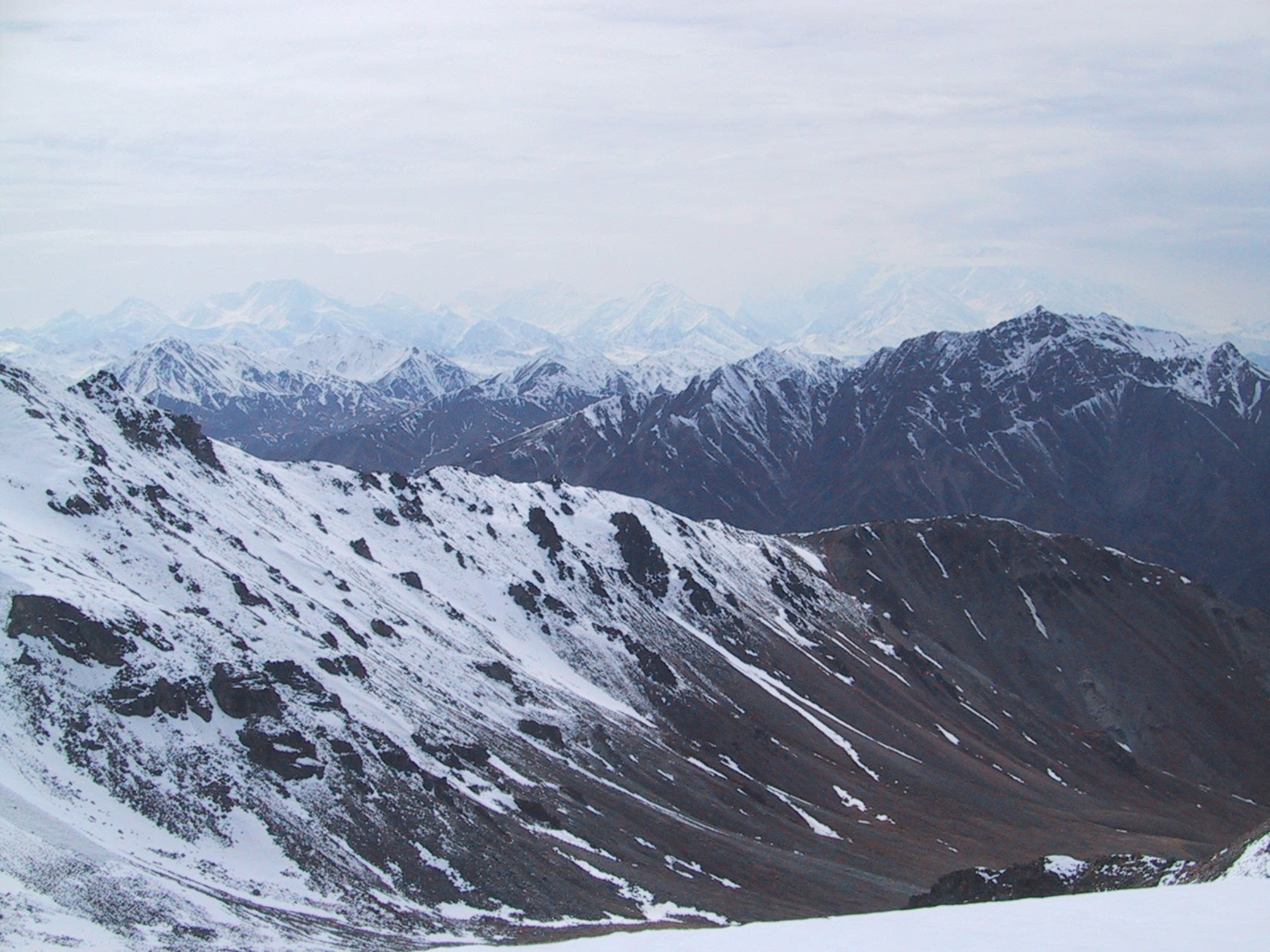
In the distance, mostly-hidden by clouds, is Mt Denali. |
|
Tried the Denali shot again ten minutes later, when the sun was brighter. |
|
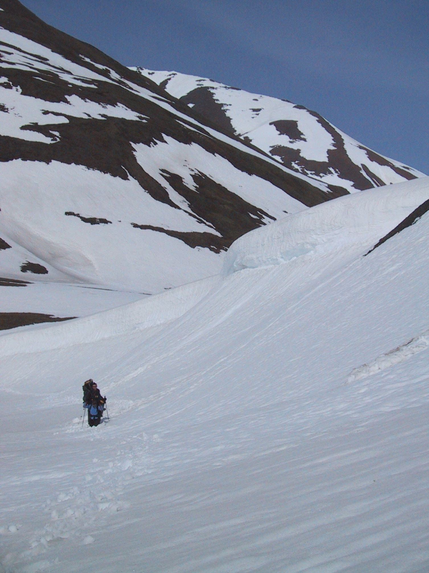
Then dangerous loose scree... |
|
And this would have been the only way around the scree. |
|
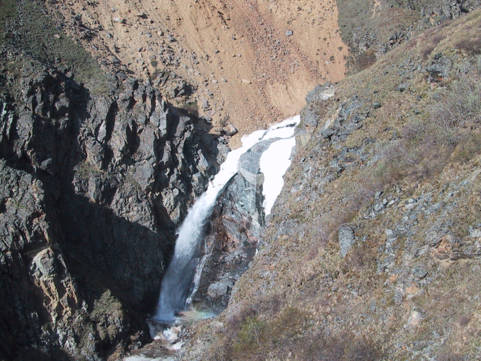
Then there was the waterfall we weren't warned about. We were walking on the ice above the stream, following it through a narrow canyon, when we found ourselves about to do a Wiley Coyote. We had to climb out of the canyon... |
|
And onto the broad slopes of the mountain. |
|
Morning view from our campsite on the Toklat. Around midnight a moose had passed within a couple of yards of our tents. I didn't have time to grab my camera, though - it took off when it saw my head poke out of my tent. |
|
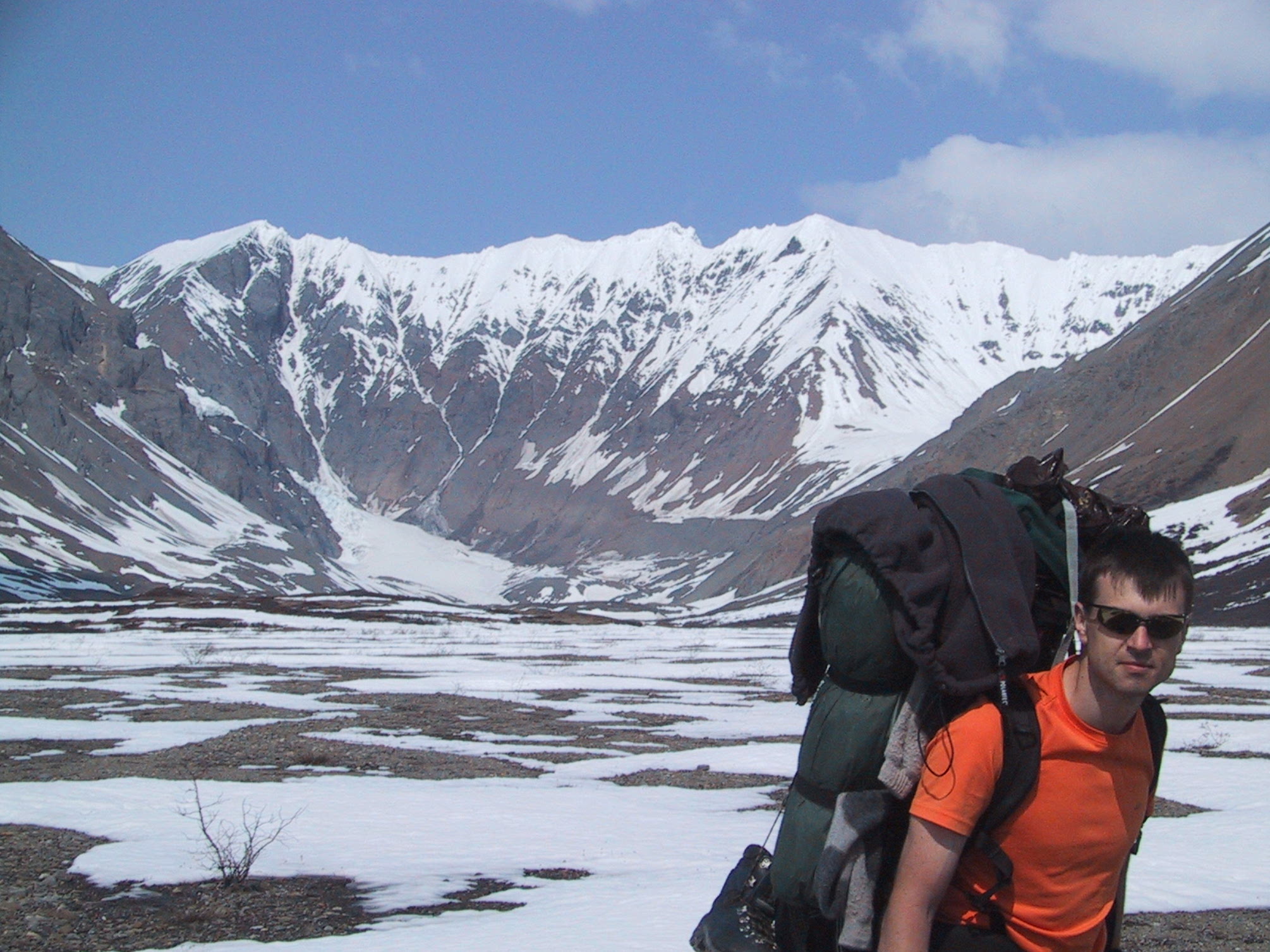
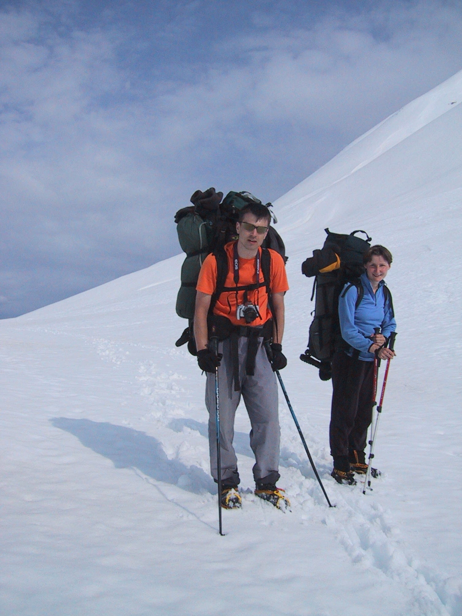
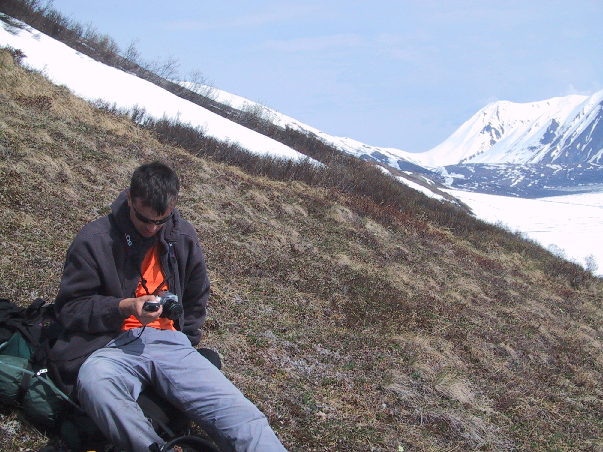
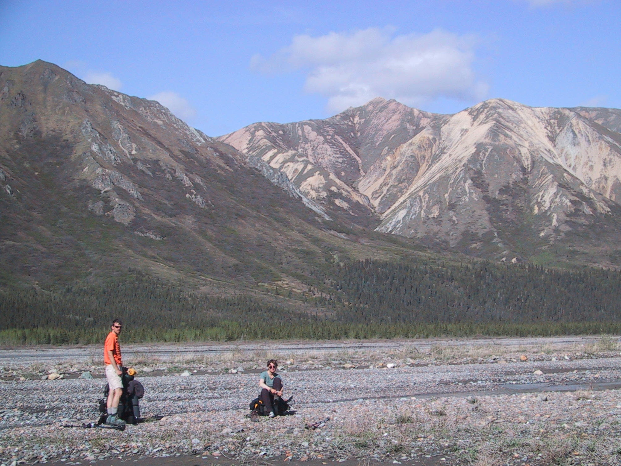
For once, I'm packed and ready to go before Justyna is ready. Michael can't seem to believe it. |
|
This river was actually pretty tough to cross - thigh-deep and swift-moving. That cloudy grey color comes from sediment, much of which is volcanic ash (but mixed with sand, mud, and other yummy stuff). Gives the water a lovely fireplace taste, clogs water filters, and makes soup a bit crunchy. |
|
Evening view from our campsite, looking northeast. This valley turned out to be a favorite for Dall's sheep. |
|
Campsite view looking southwest. |
|
View back south toward the campsite. |
|
View just east of previous shot. |
|
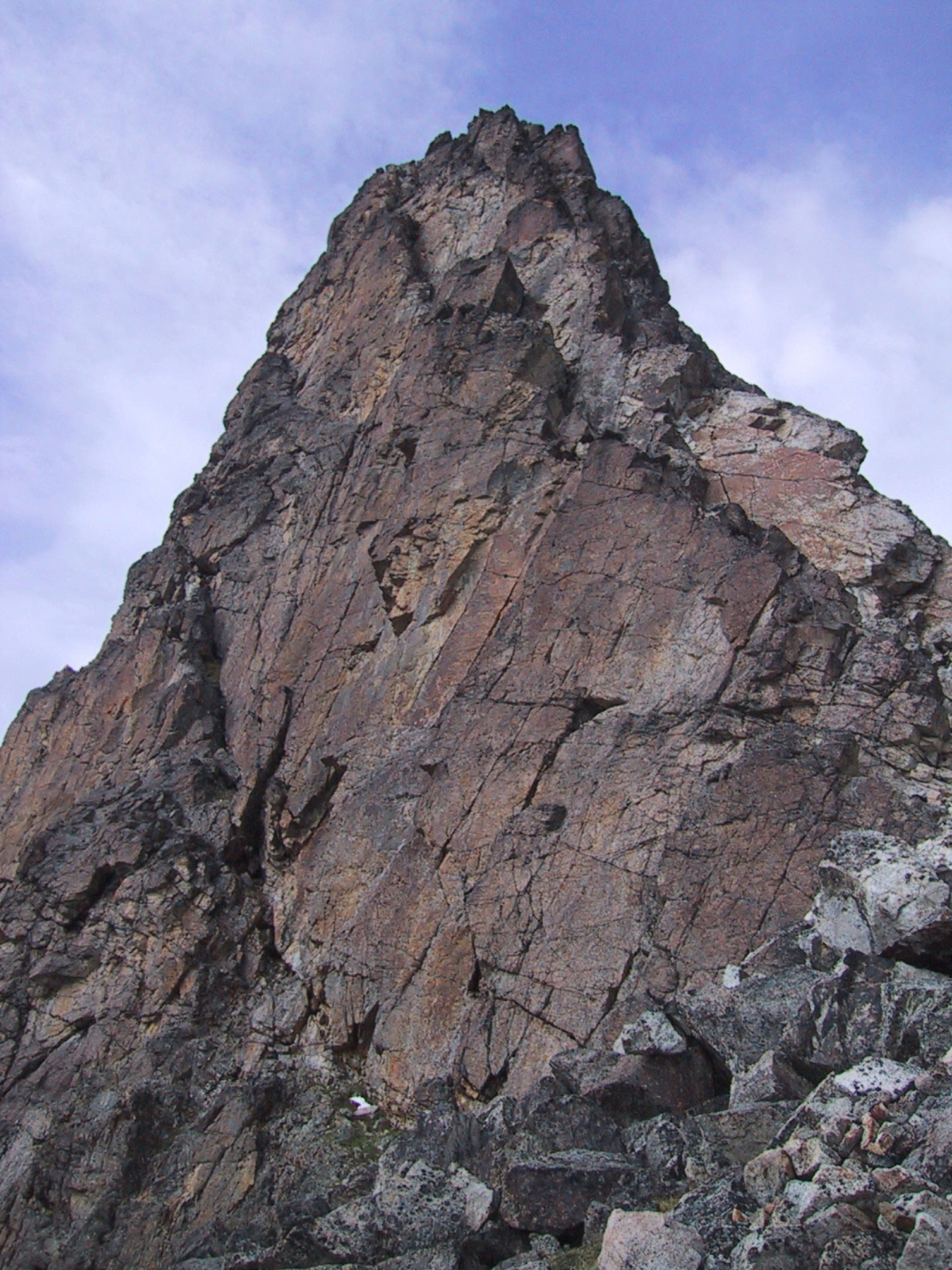
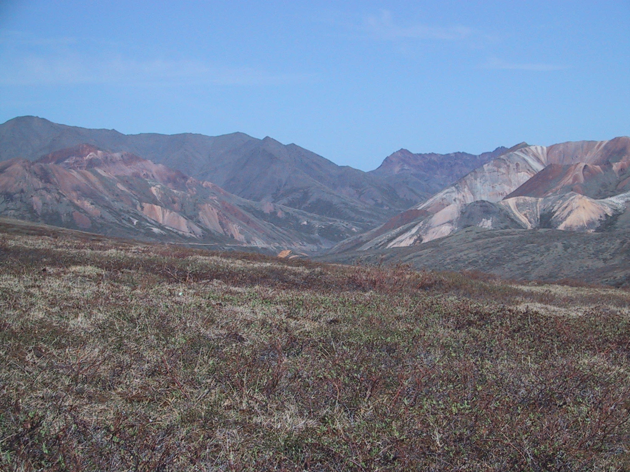
View of the road. Also showing southwest corner of Cathedral Mountain (on right) , the eastern part of Sable Mountain (back row left), and most of the summit of Igloo Mountain (far back, right). |
|
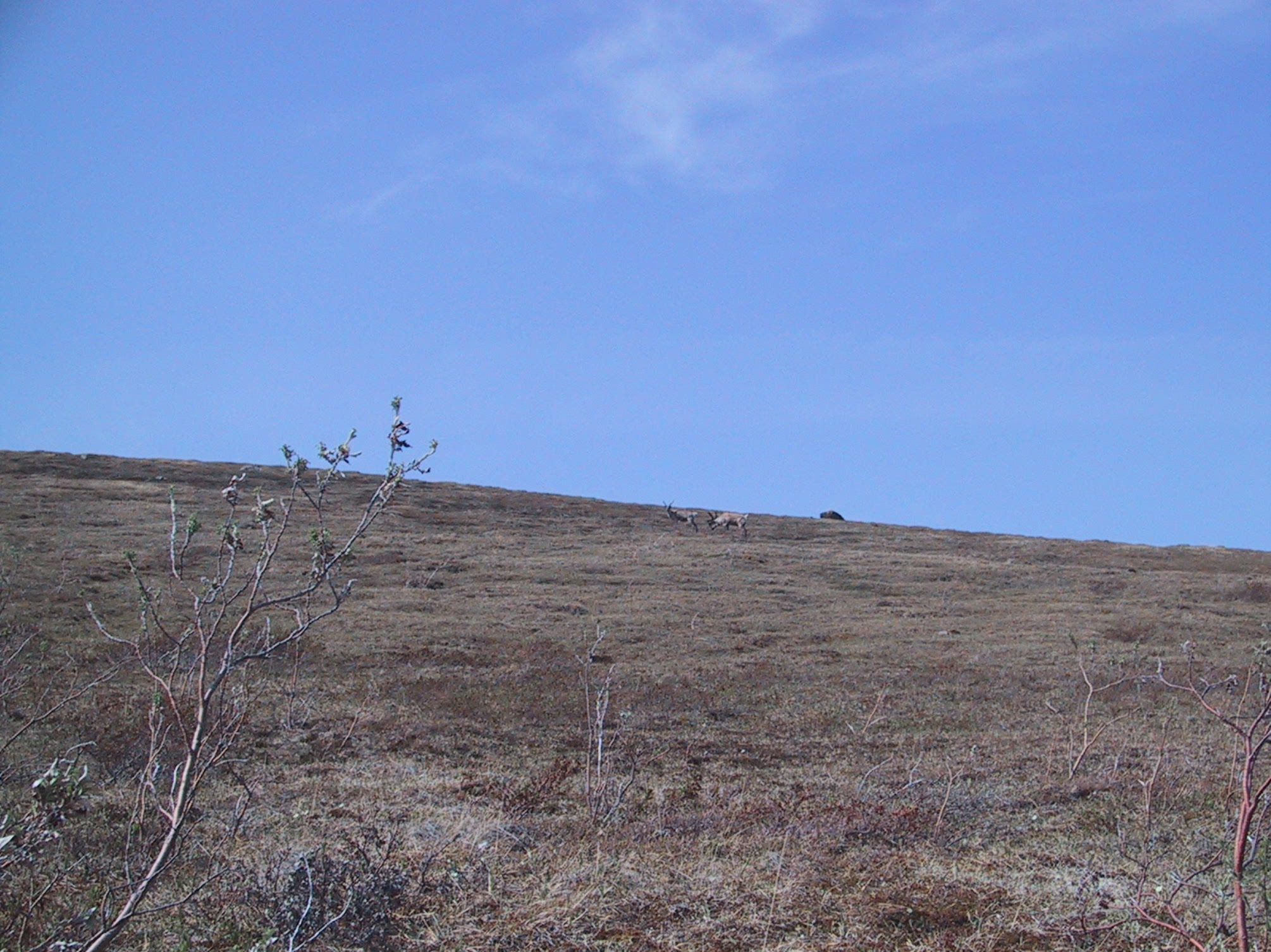
This was the second pair of caribou we got close to that day. The others were young and jumpy, moving too much to get a photo of. |
|
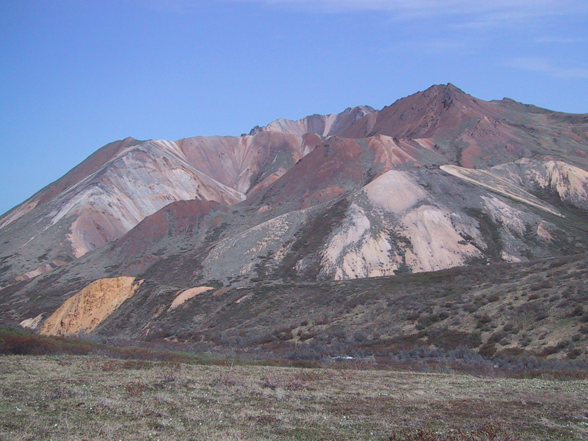
Cathedral Mountain, from closer. You'll have trouble distinguishing them from burnt-out pixels, but technically severall Dall's sheep are visible in this photo. |
|
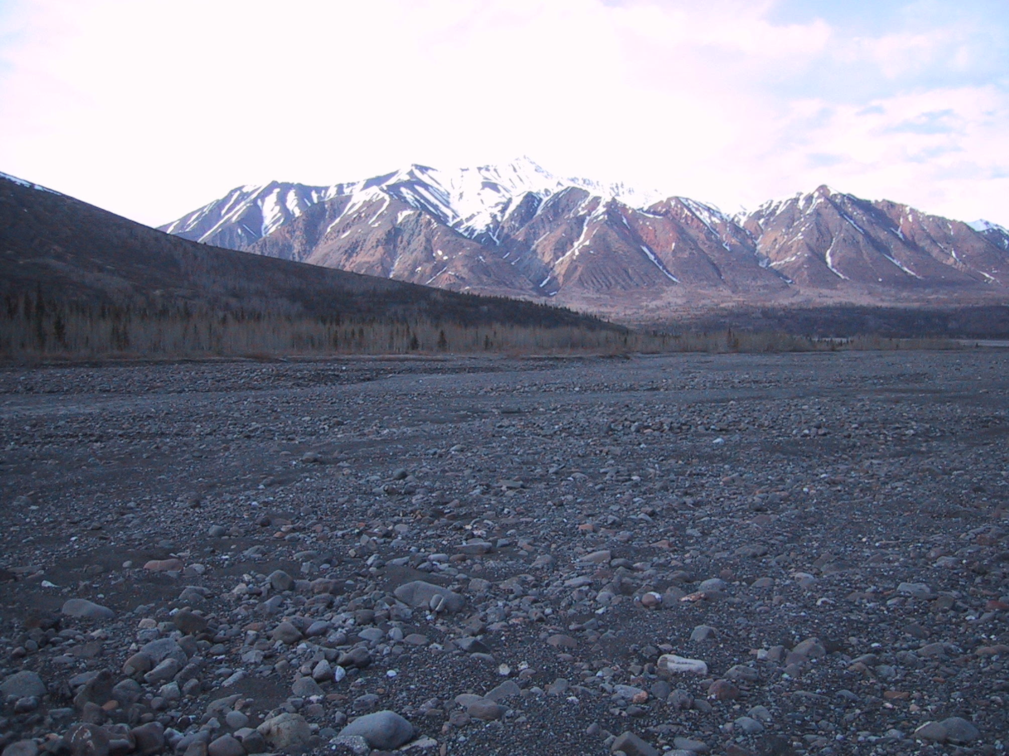
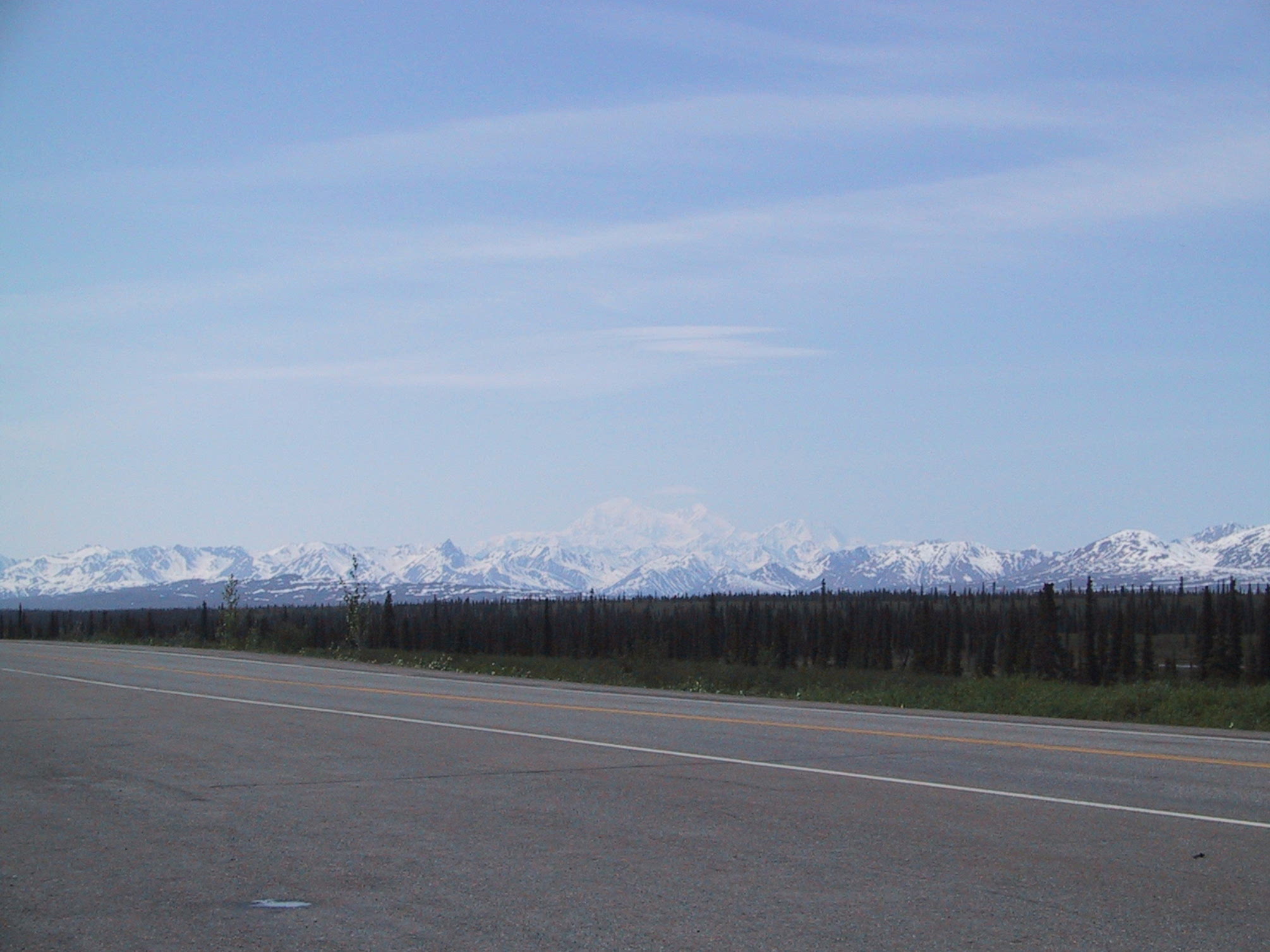
Denali in the haze, from the Parks Highway. |
|
Back at Mary's Viewpoint Restaurant - Denali one last time. |