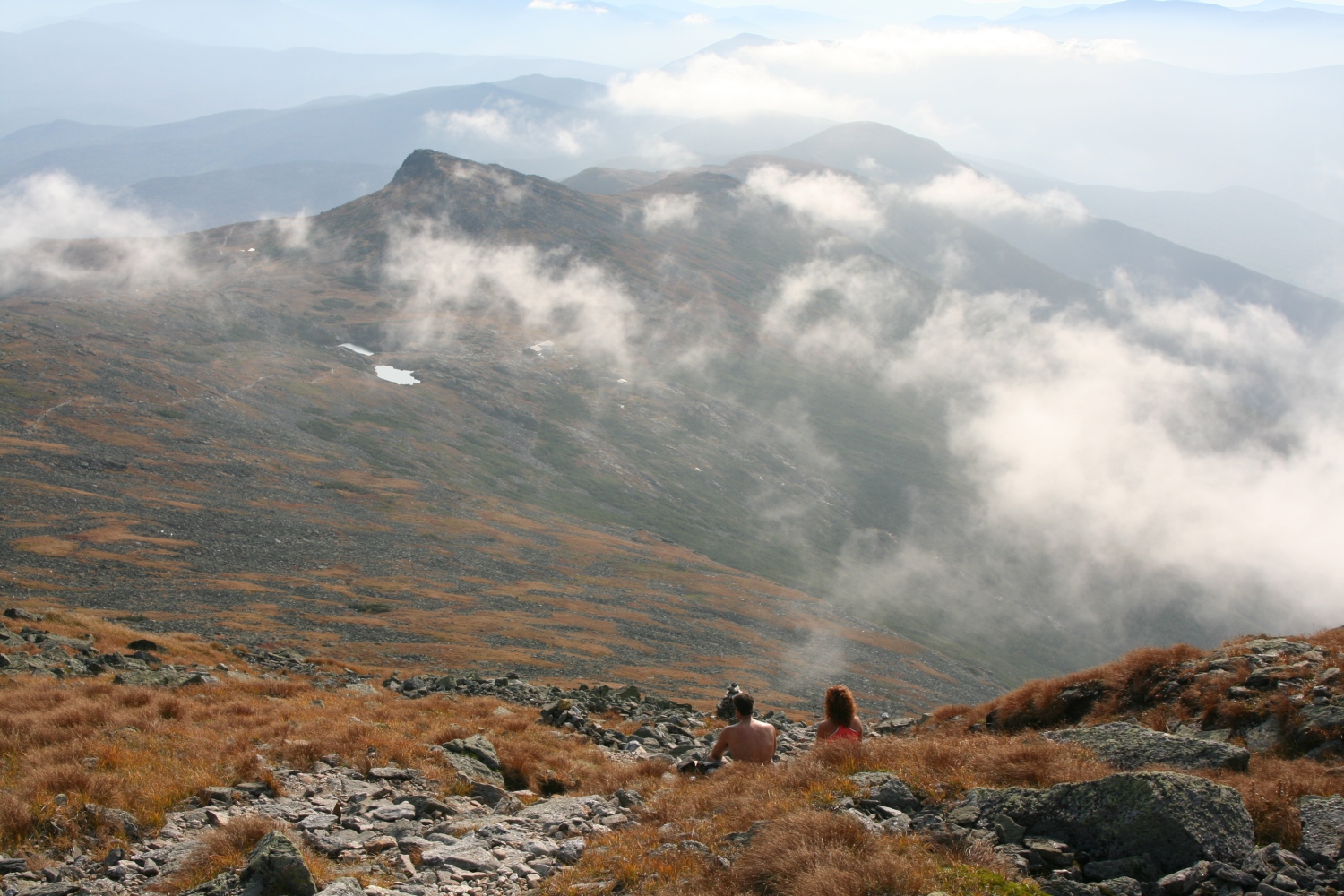
view South from Mt Washington
|
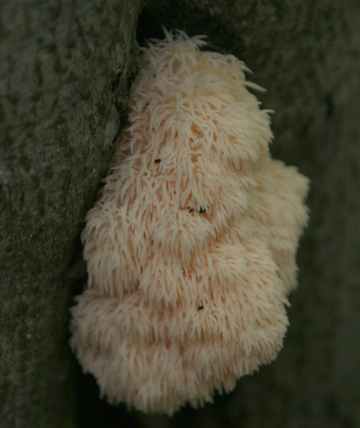
A "coral hedgehog" fungus, Hericium Coralloides, on the side of a fir. |
|
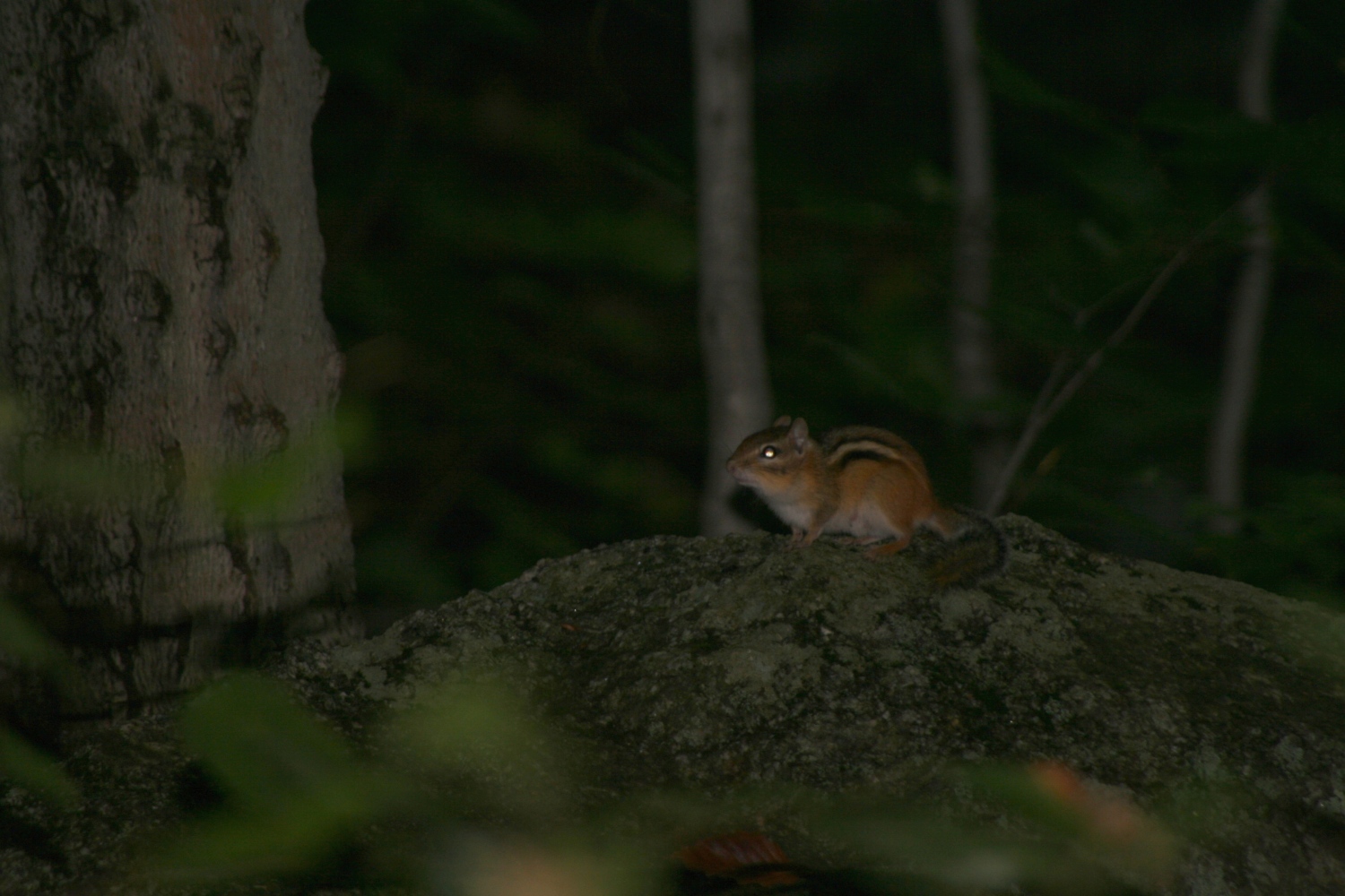
An Eastern Chipmunk, Tamias Striatus, dimly lit by my flash (I brightened this one digitally). |
|
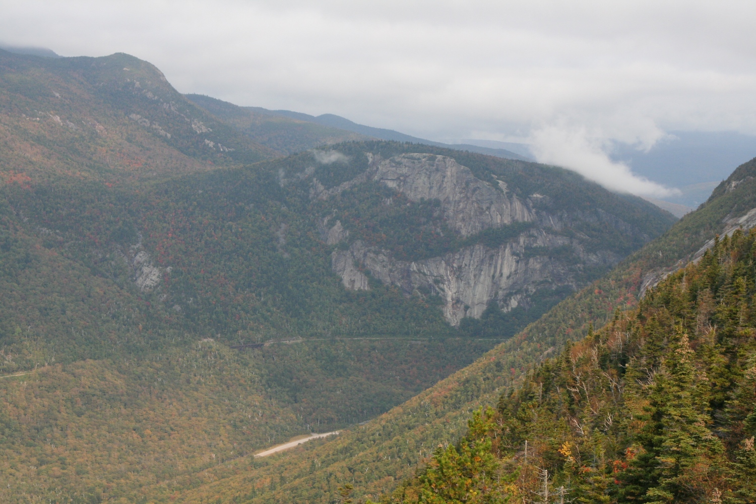
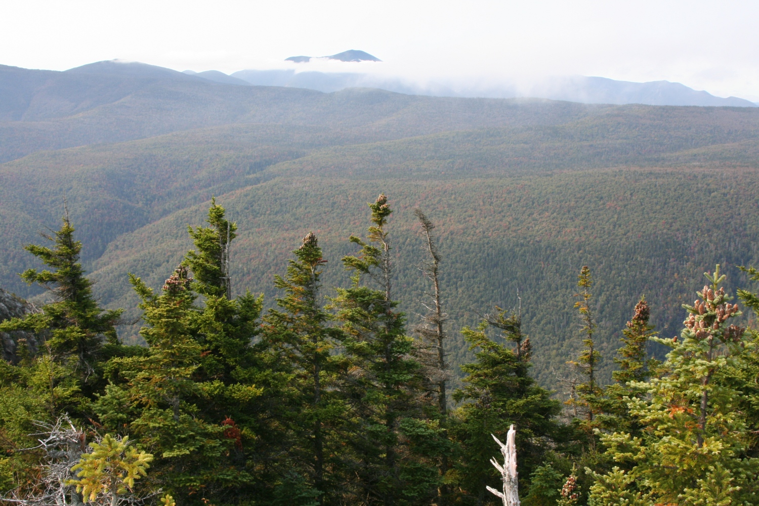
Nearing the top of Webster Cliffs, a view west over Crawford Notch toward Mt Willard's southern cliff face. |
|
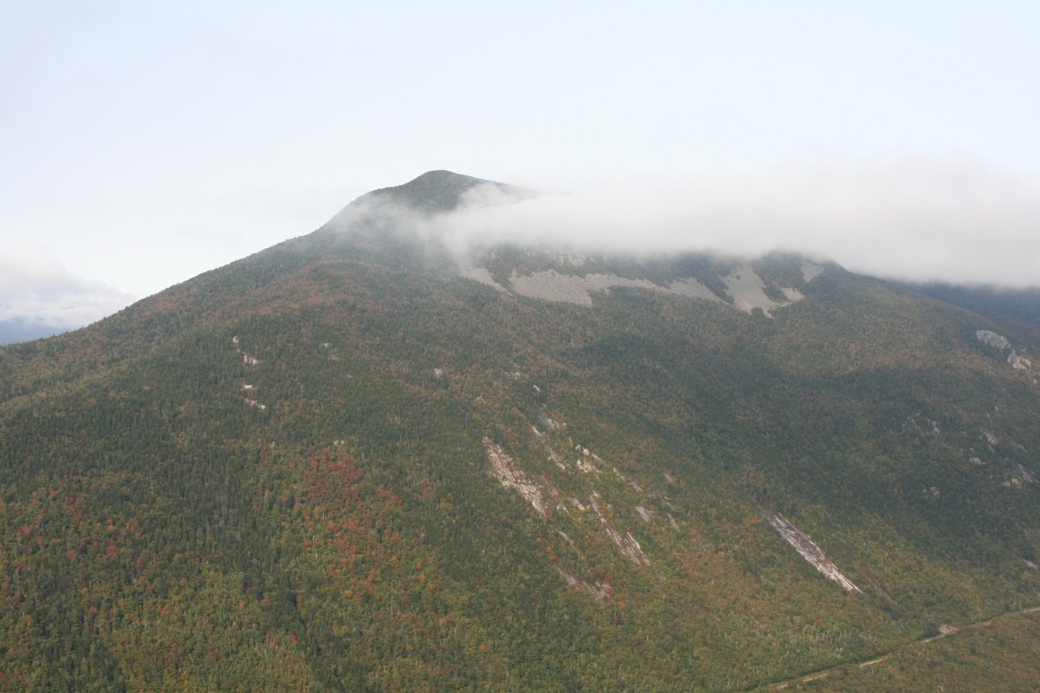
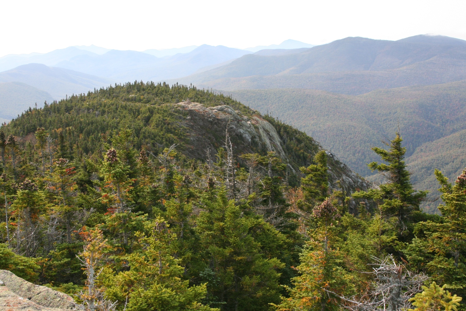
A view south over Crawford Notch to Mt Willey. The Willey Slide is visible at lower right. |
|
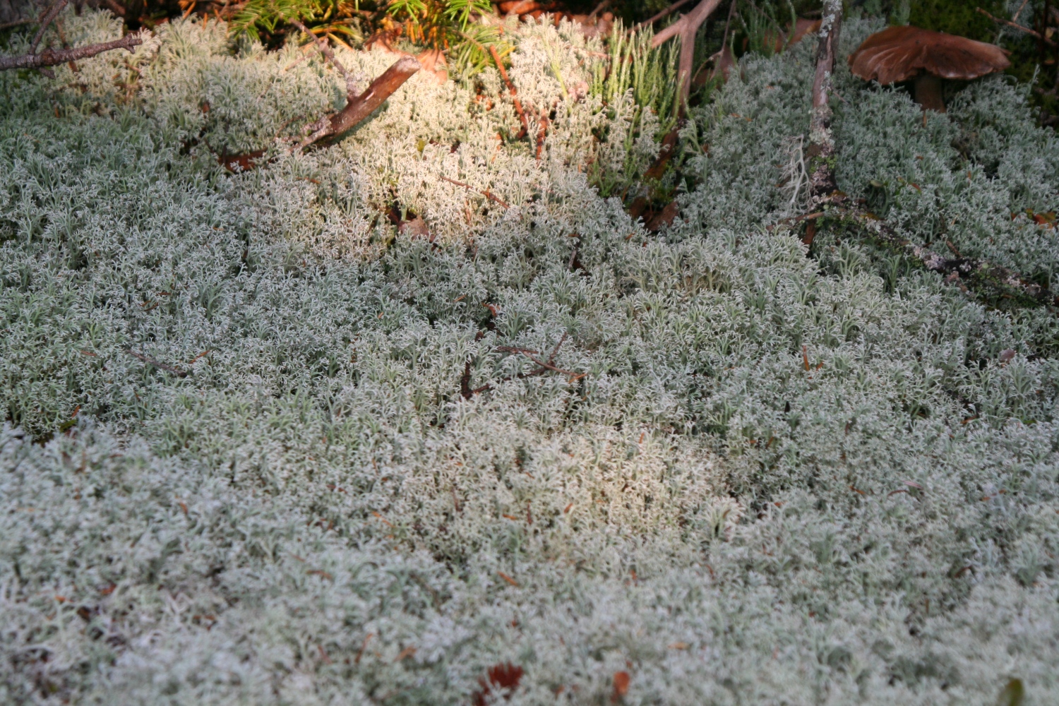
A thick bed of "deer moss" (which is really lichen, not moss). |
|
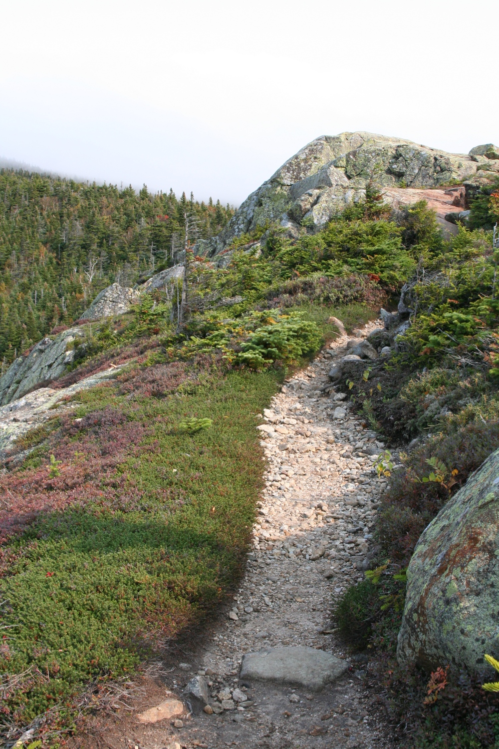
The trail got easier along the top of Webster Cliff. At this point the skies were cloudy. |
|
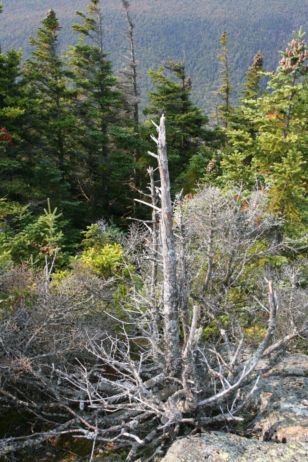
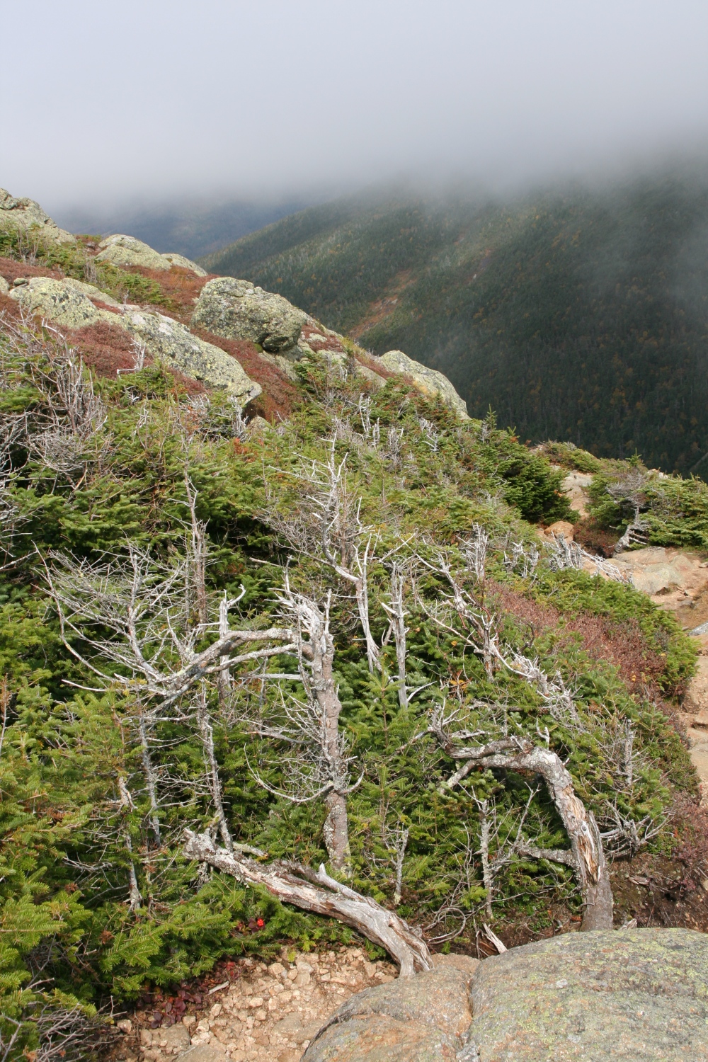
A dead evergreen, possibly killed by wind exposure. Notice the "flag" shape of some of the trees in the background. |
|
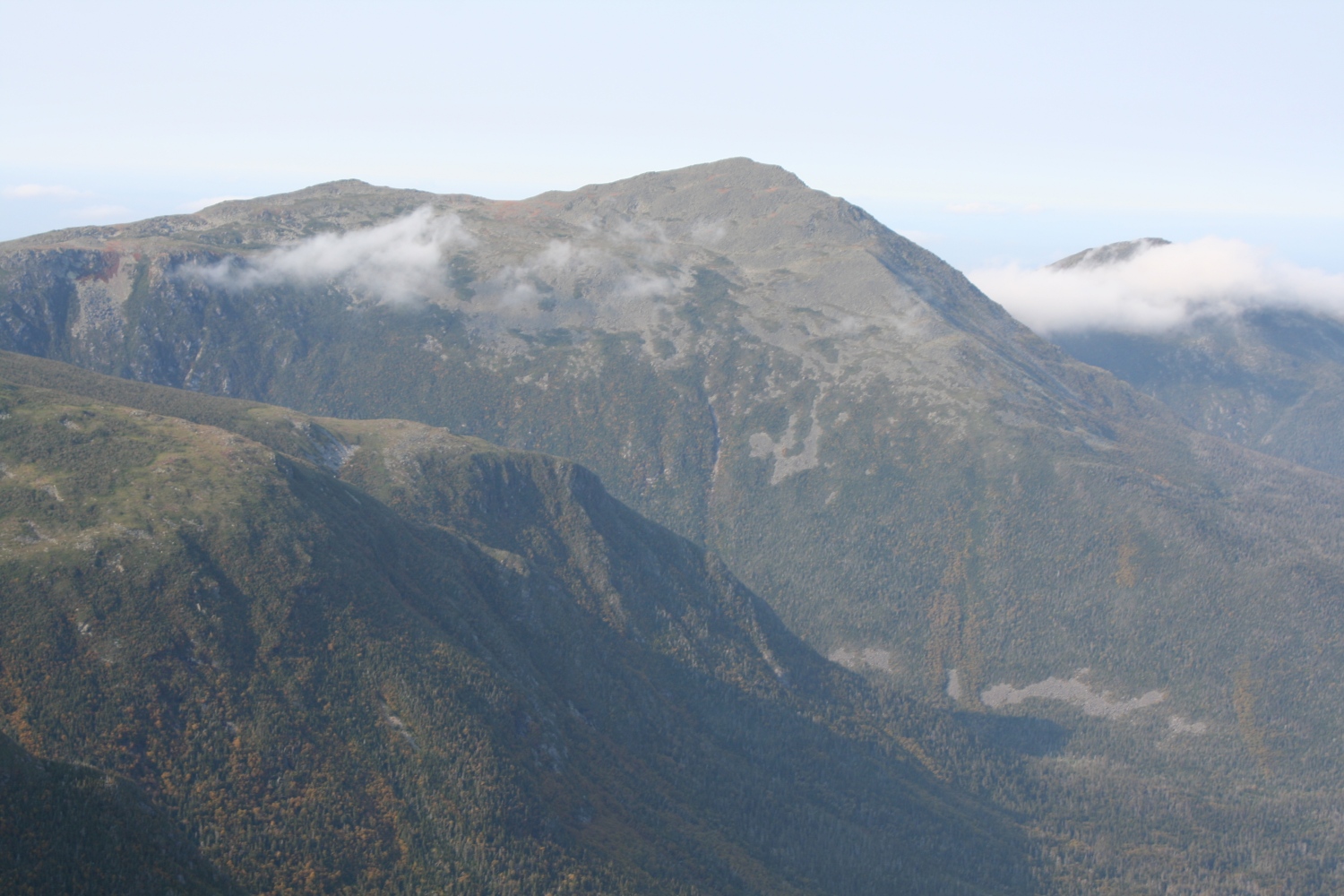
Same spot, view to South Twin in the distance. |
|
A view southeast. |
|
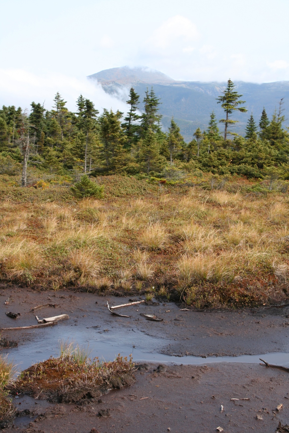
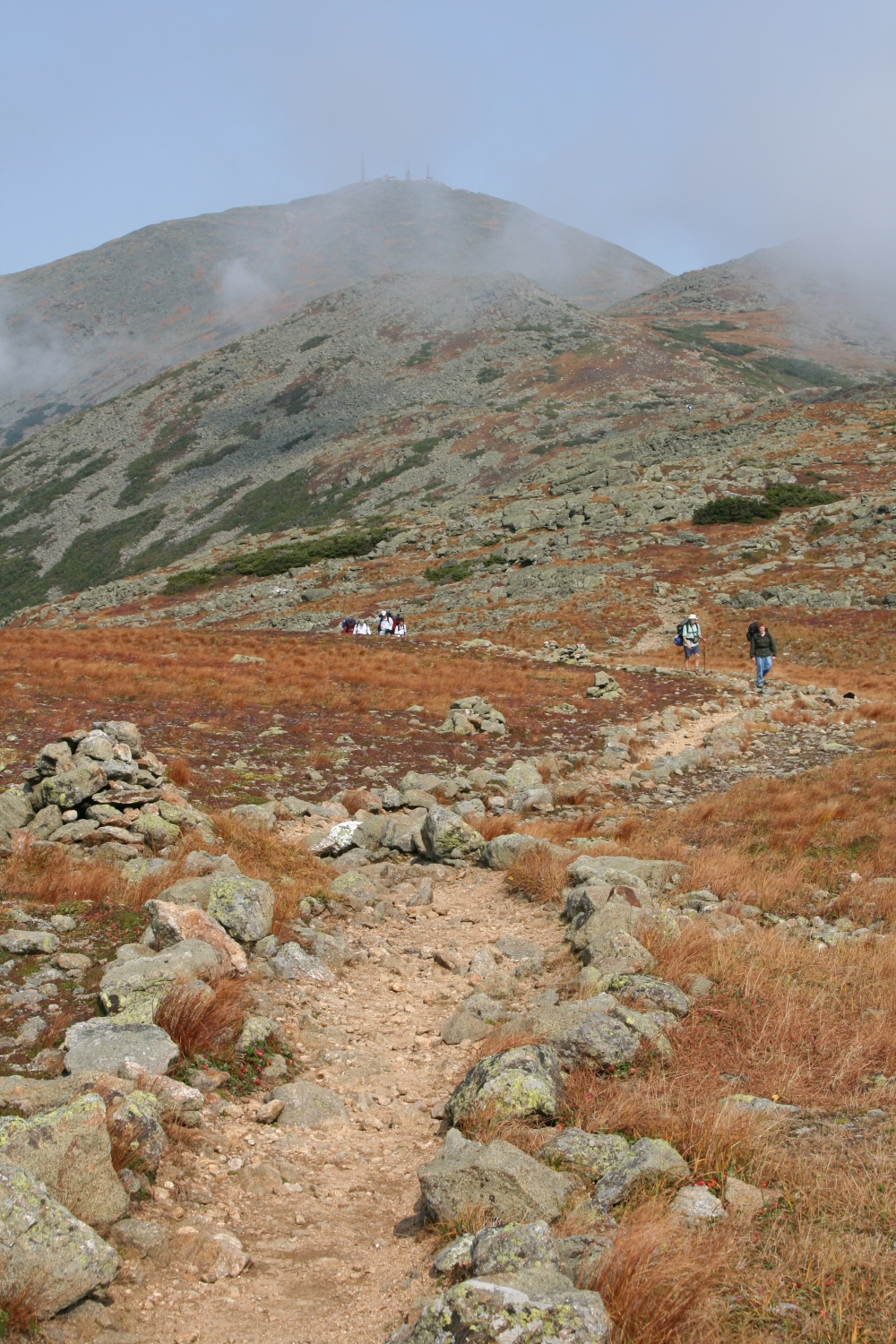
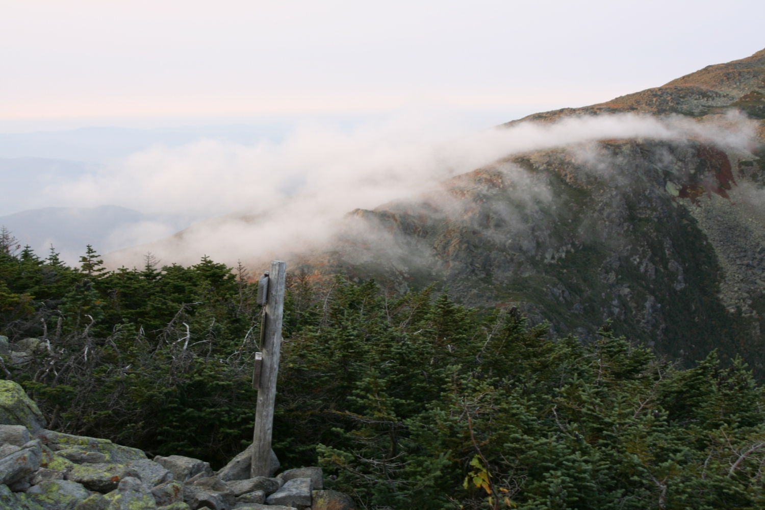
As the trail turned north away from the cliffs, it crossed several small bogs like this one. Mt Washington starts to emerge from the clouds in the distance. |
|
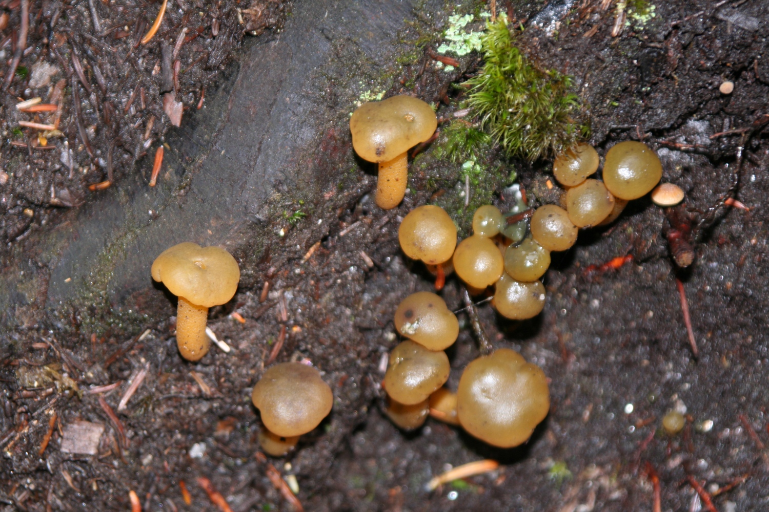
Jelly Babies, Leotia Lubrica. |
|
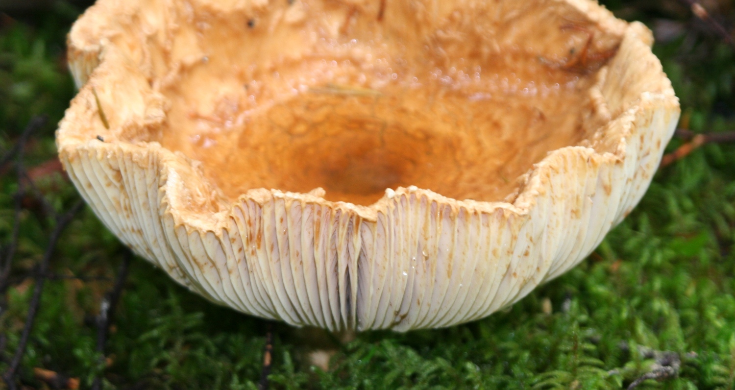
A large, unidentified fungus. |
|
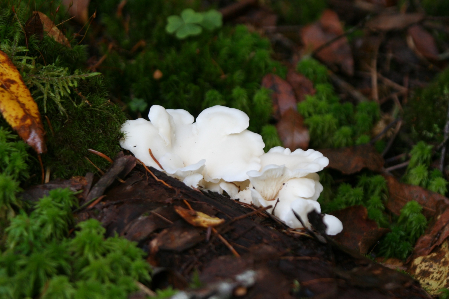
I think this is an "Angel Wing", Pleurotus Porrigens. It could also be Lentinellus Ursinus. |
|
A dwarf spruce on the summit of Mt Jackson. |
|
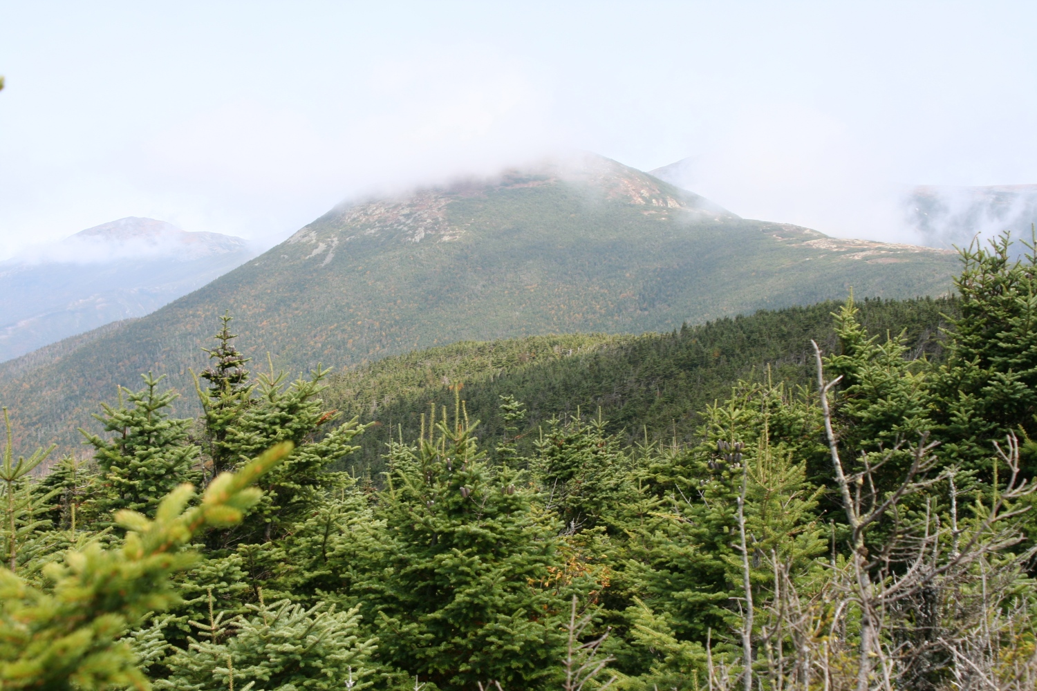
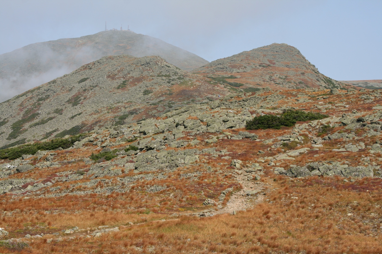
The clouds are lifting very slowly. The summit of Mt Eisenhower is still covered. |
|
This is taken just past the top of Mt Eisenhower: still cloudy. |
|
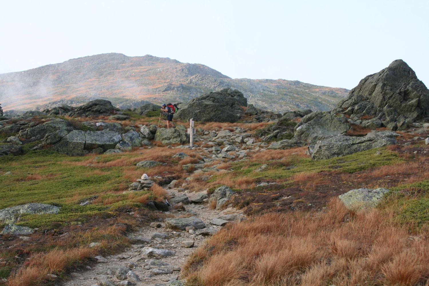
A view of the intersection of Edmands Path, Crawford Path, and Eisenhower Summit Loop from up on Eisenhower. |
|
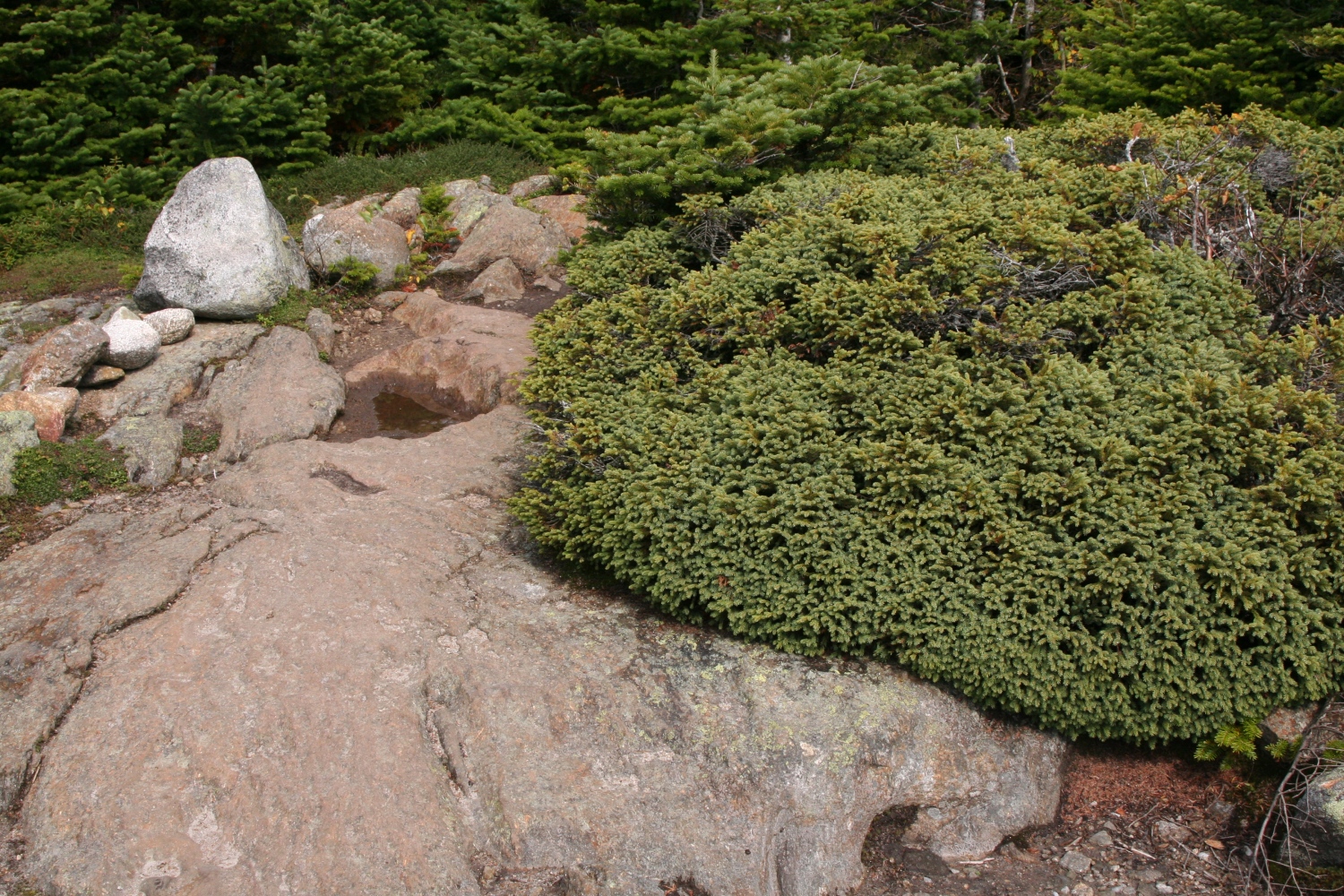
Some krummholz on the north side of Eisenhower. |
|
A view ahead to Mts Jefferson and Clay, from near Mt Franklin. |
|
Another view northward along the trail, with Mt Washington in the distance. |
|
Just below Little Monroe and Monroe, a view to Washington as the clouds are essentially gone. |
|
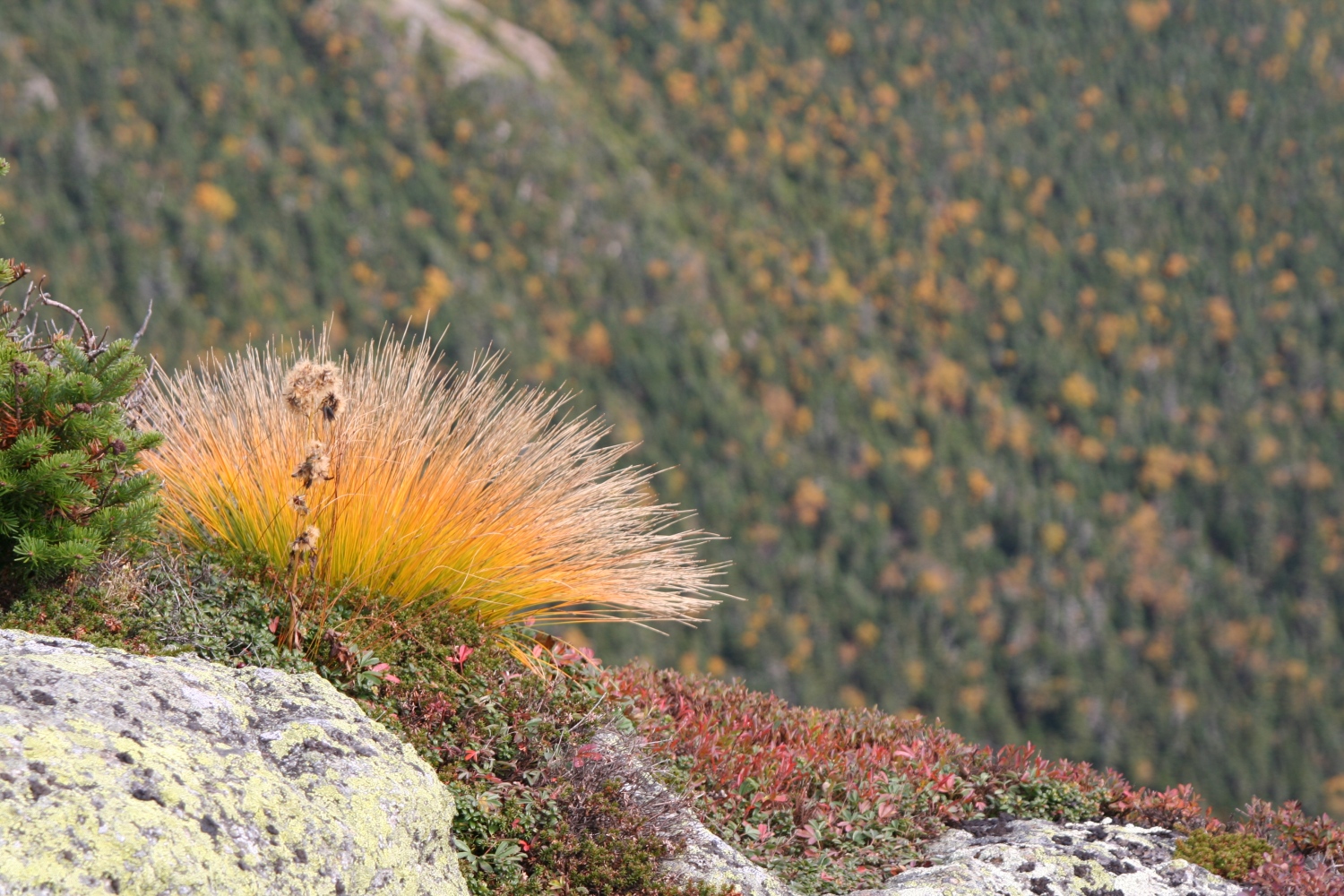
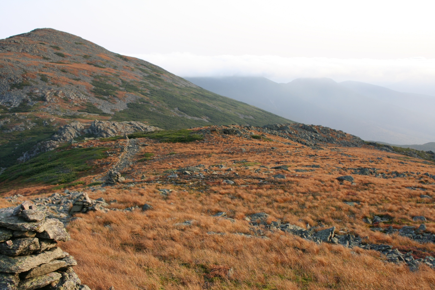
Some alpine grasses (sedge?) on the edge of Oakes Gulf. |
|
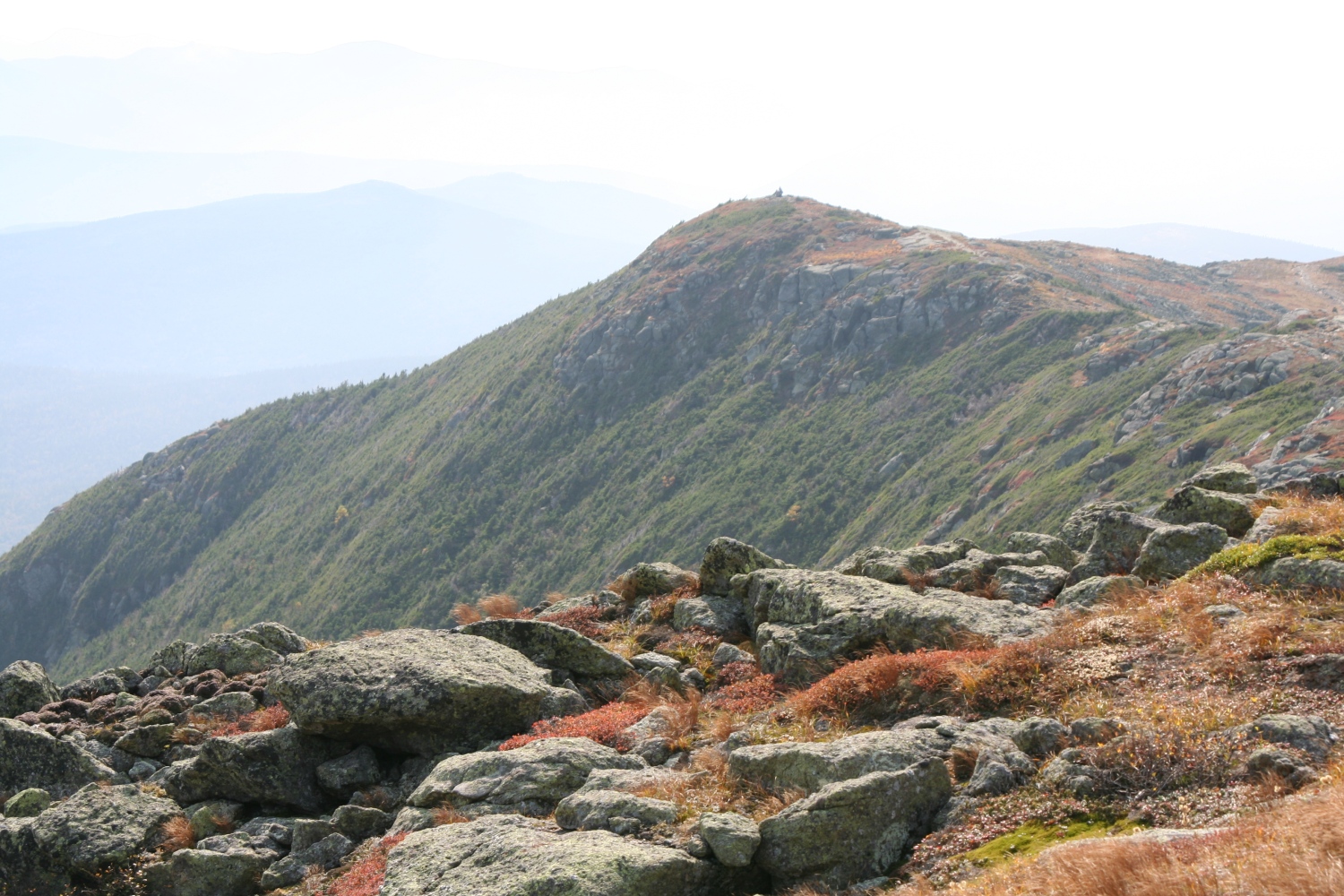
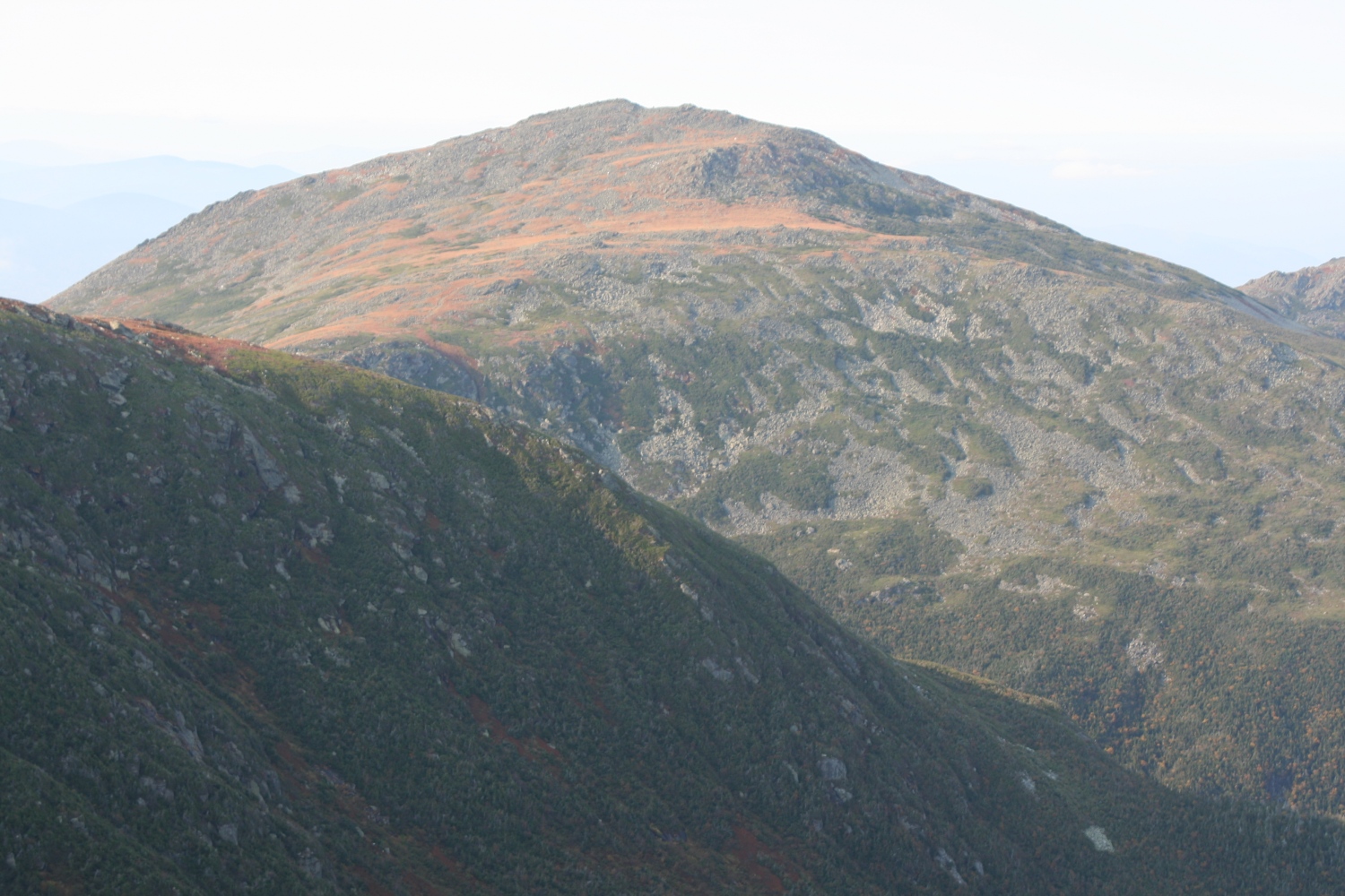
Mt Franklin seen from above. |
|
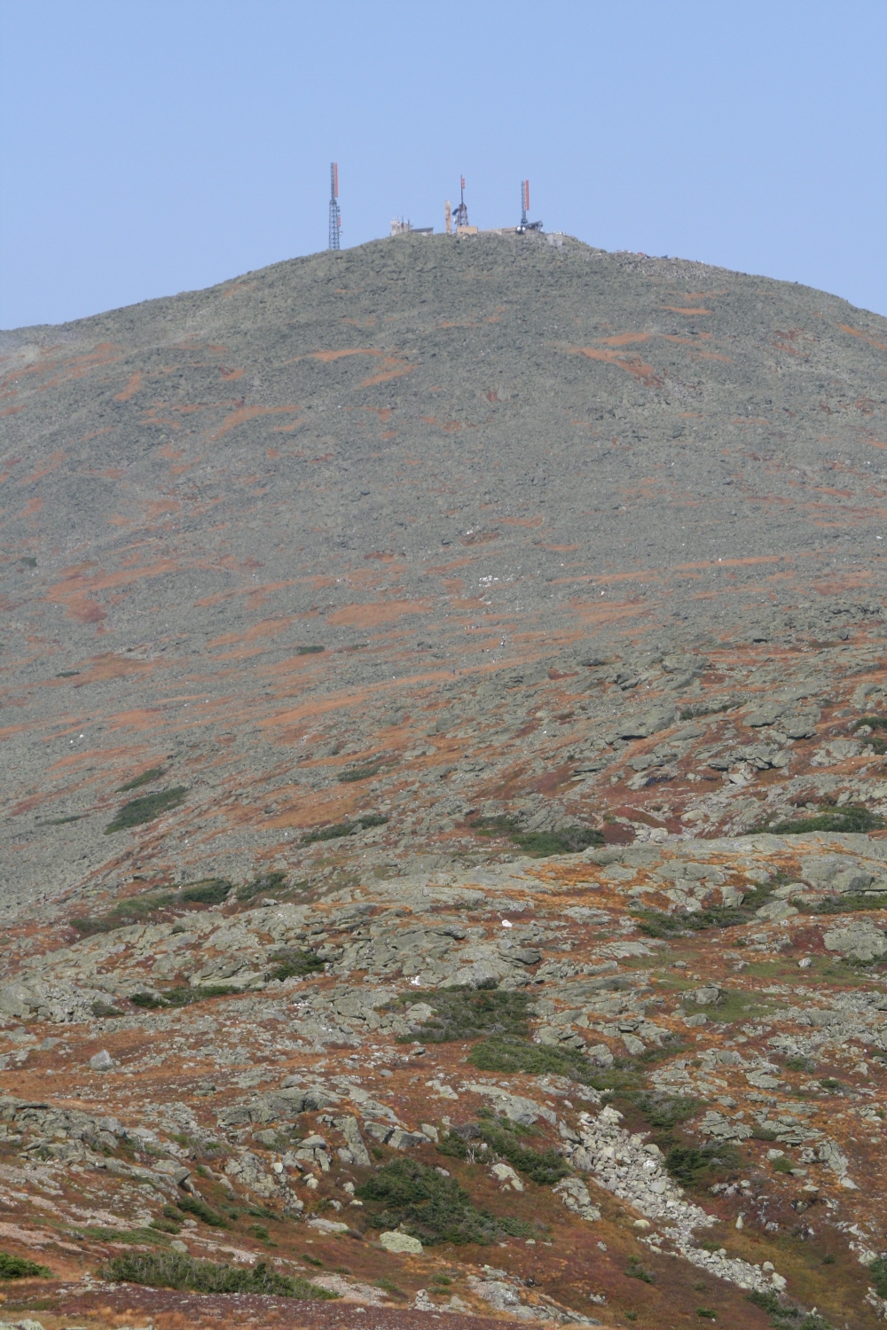
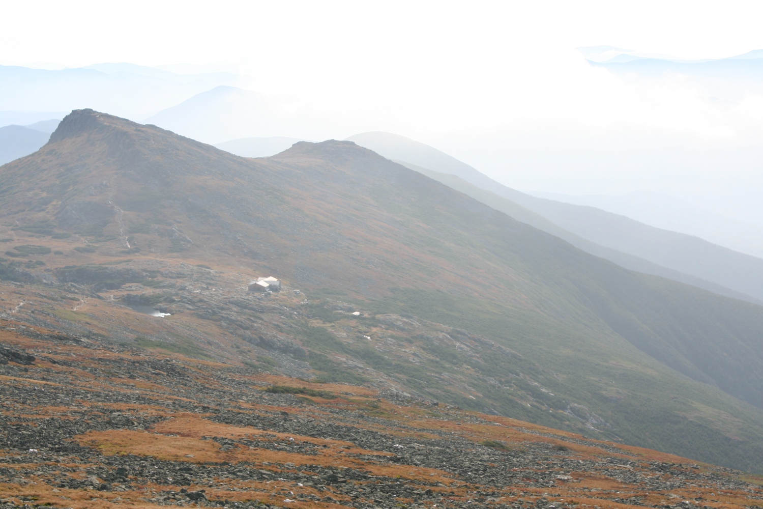
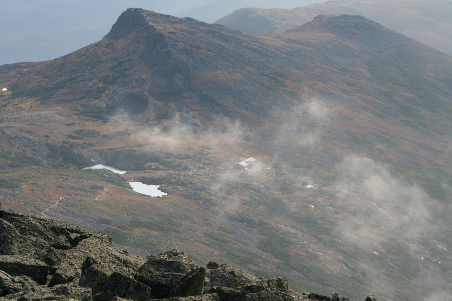
The huge summit cone of Mt Washington as seen from the Lakes of the Clouds. |
|
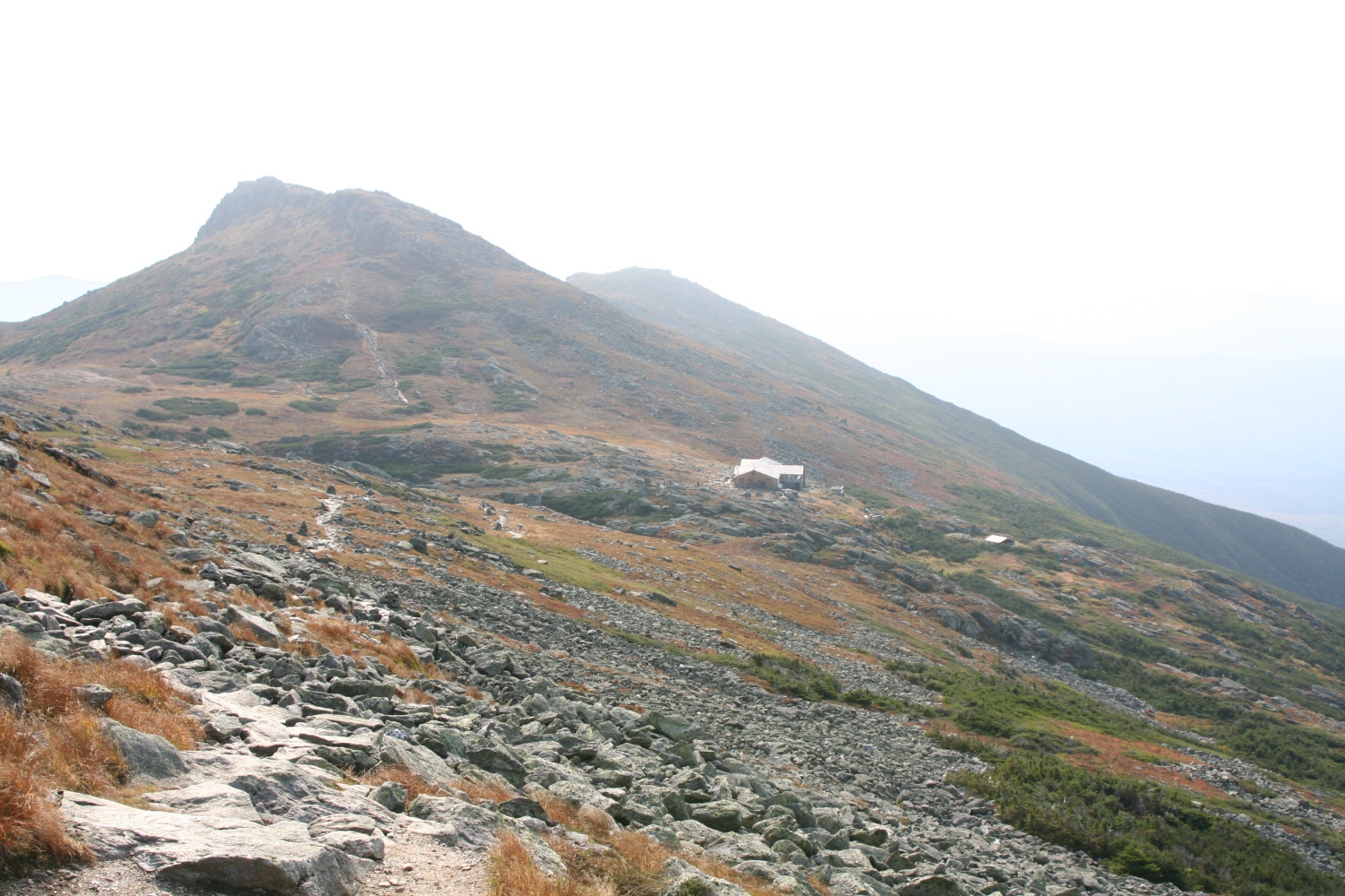
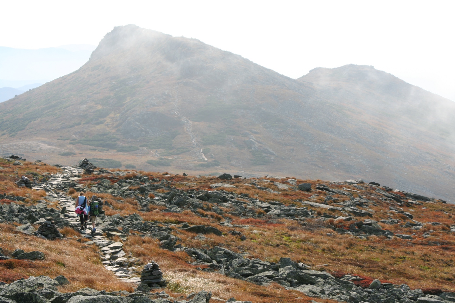
A view back to the Lakes of the Clouds hut and Mt Monroe as I start up the Mt Washington summit cone. |
|
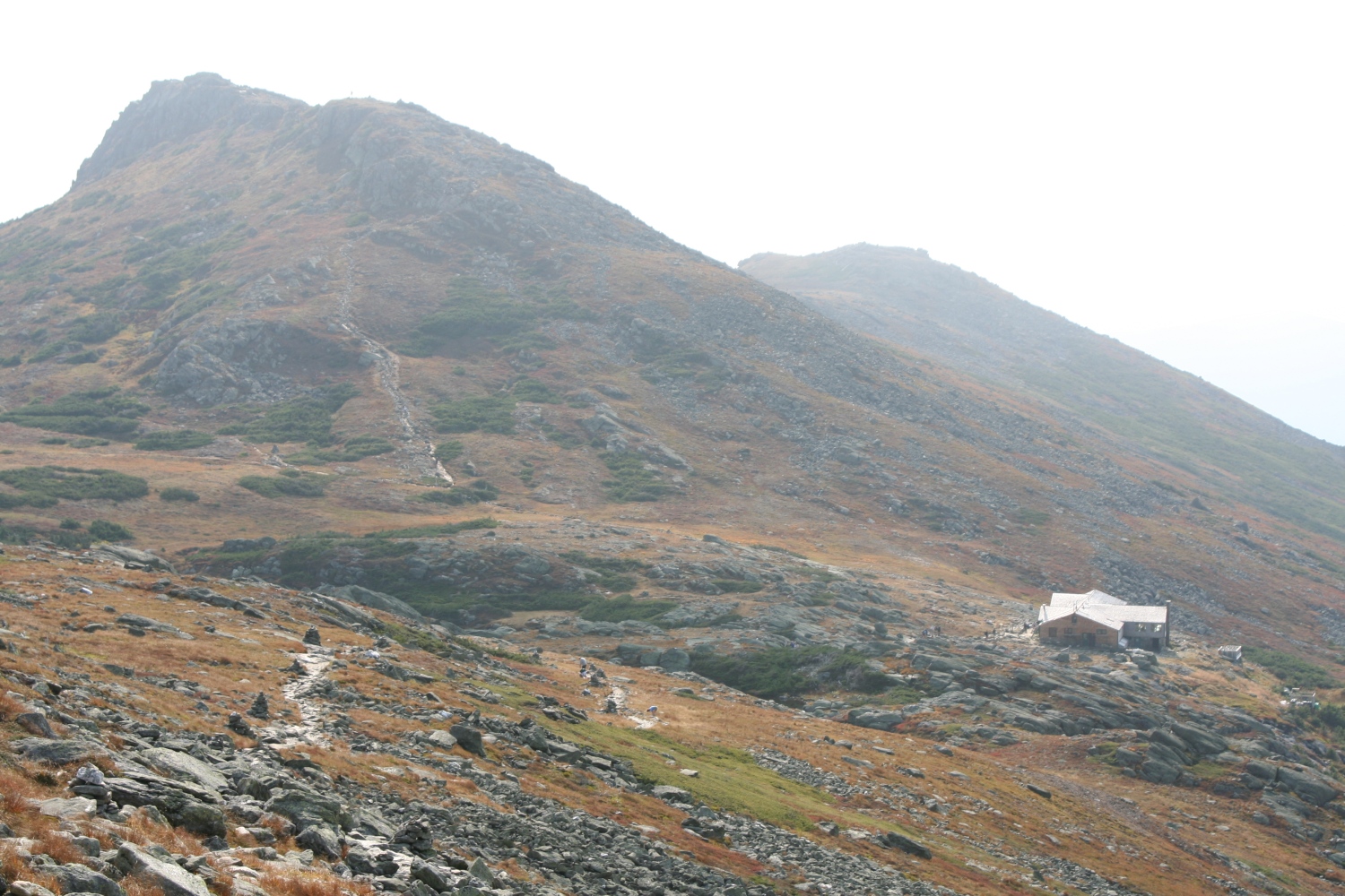
Similar shot, zoomed in further on the hut |
|
I couldn't resist taking several shots as the thin clouds scurried by. |
|
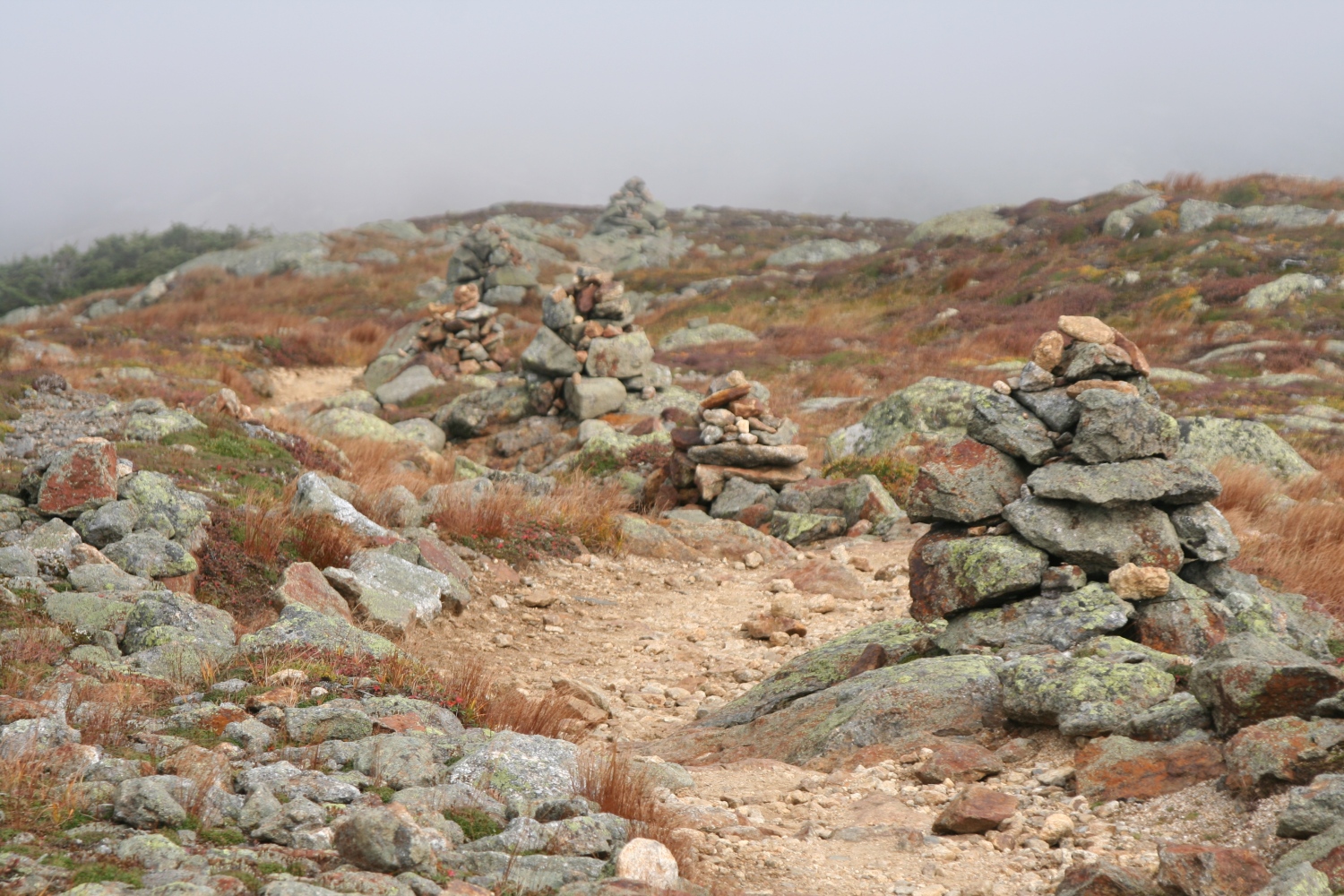
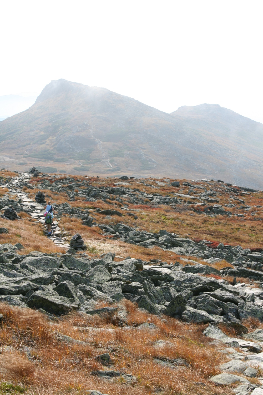
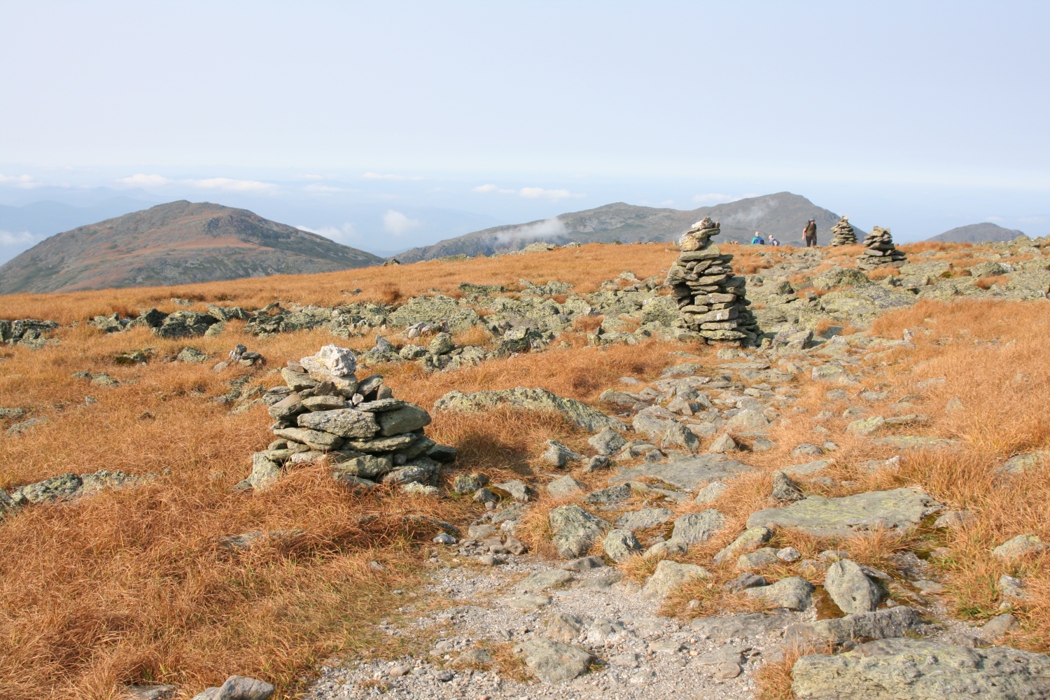
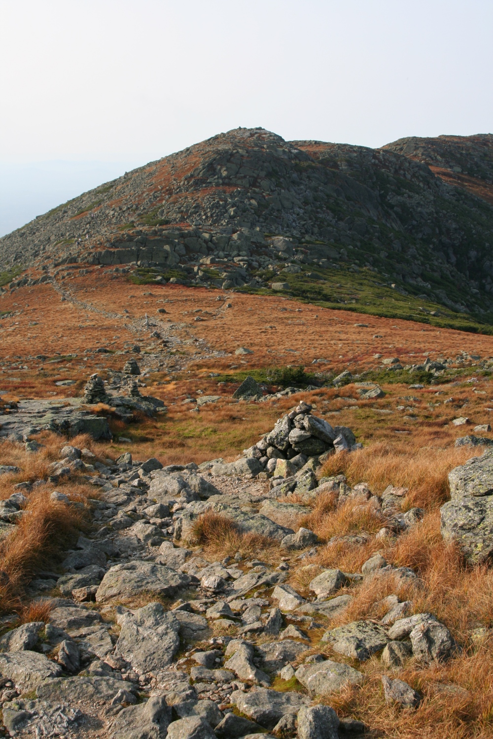
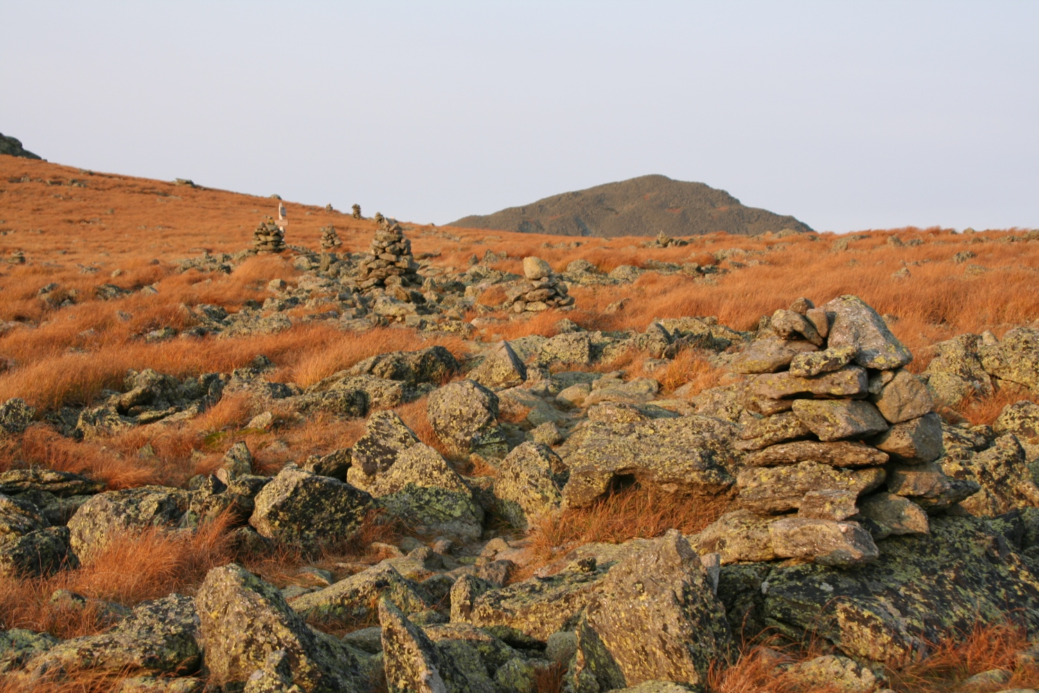
You can chart my progress by counting cairns. |
|
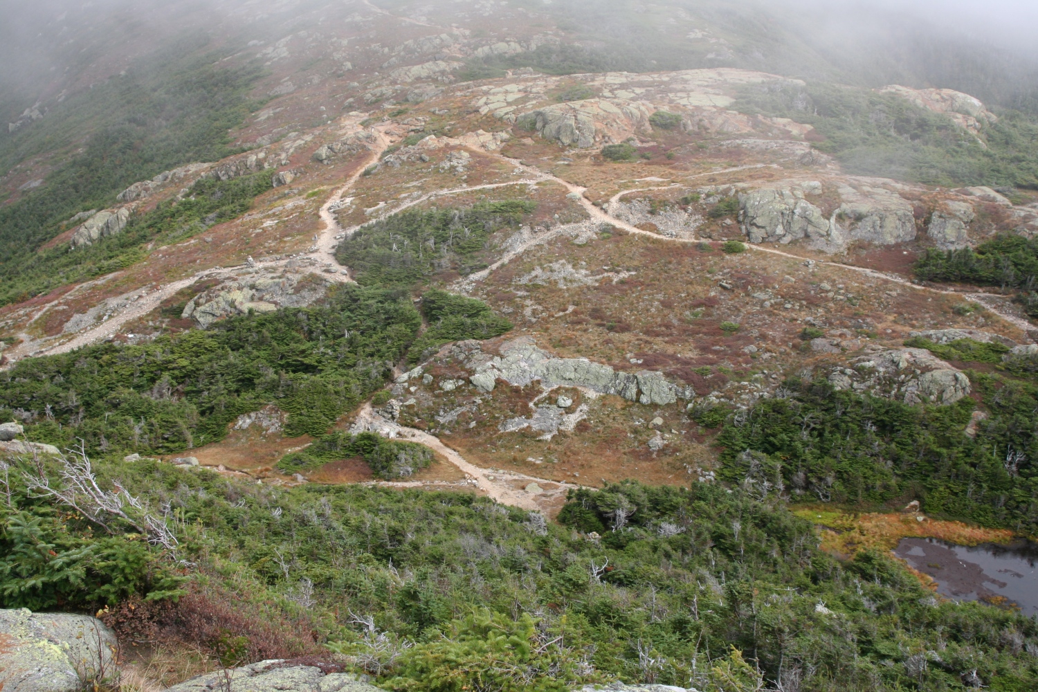
As I climb higher, the views get more expansive. |
|
|
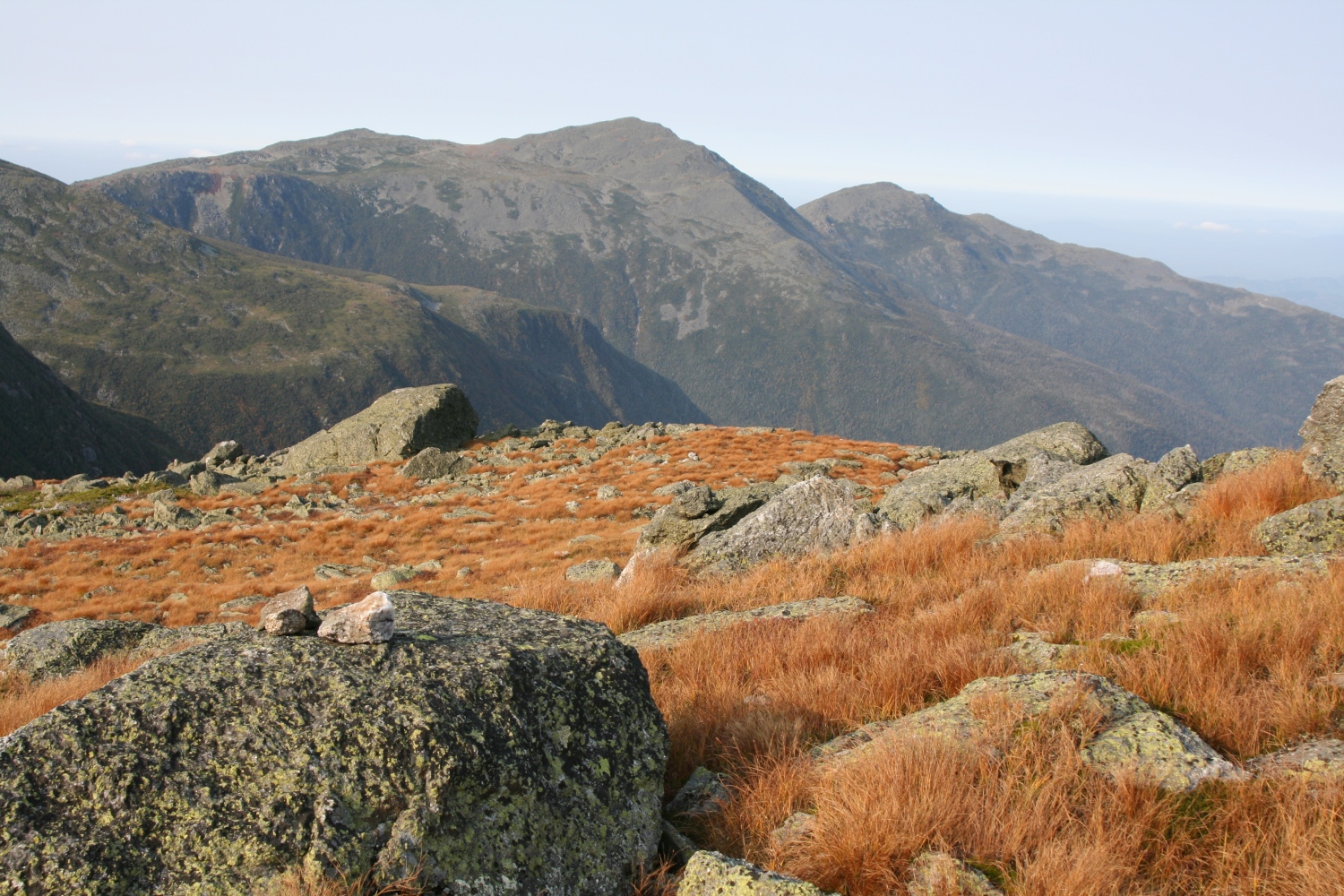
One last view back toward the Lakes of the Clouds and the Southern Presidentials. |
|
Close to the summit now, I can look ahead to Jefferson and Adams. |
|
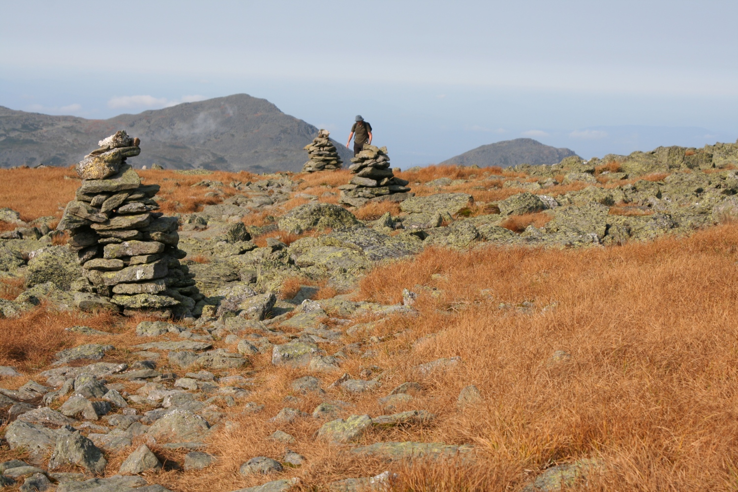
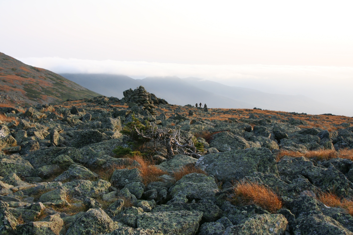
I liked the way this hiker was framed by Adams and the cairns. |
|
Right at the summit, the very very last view to Lakes of the Clouds. |
|
A view over the Great Gulf to Mt Adams. |
|
Mt Jefferson. |
|
Mts Adams and Madison. |
|
Approaching the summit of Mt Clay. |
|
Approaching the summit of Mt Jefferson. |
|
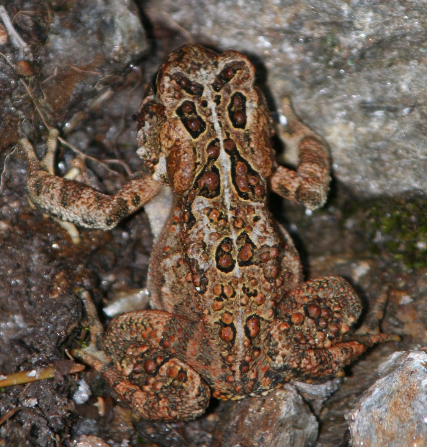
This little fellow was a bit out of place - in a tiny pocket of firs but otherwise above treeline. |

|
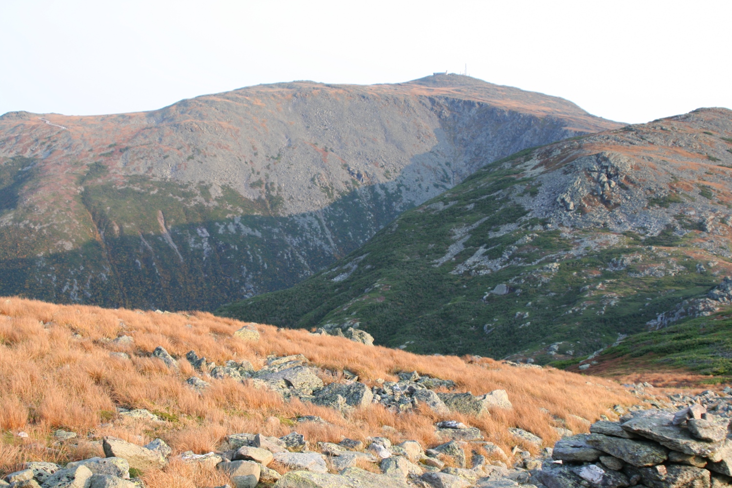
A view back to Mt Washington. |
|
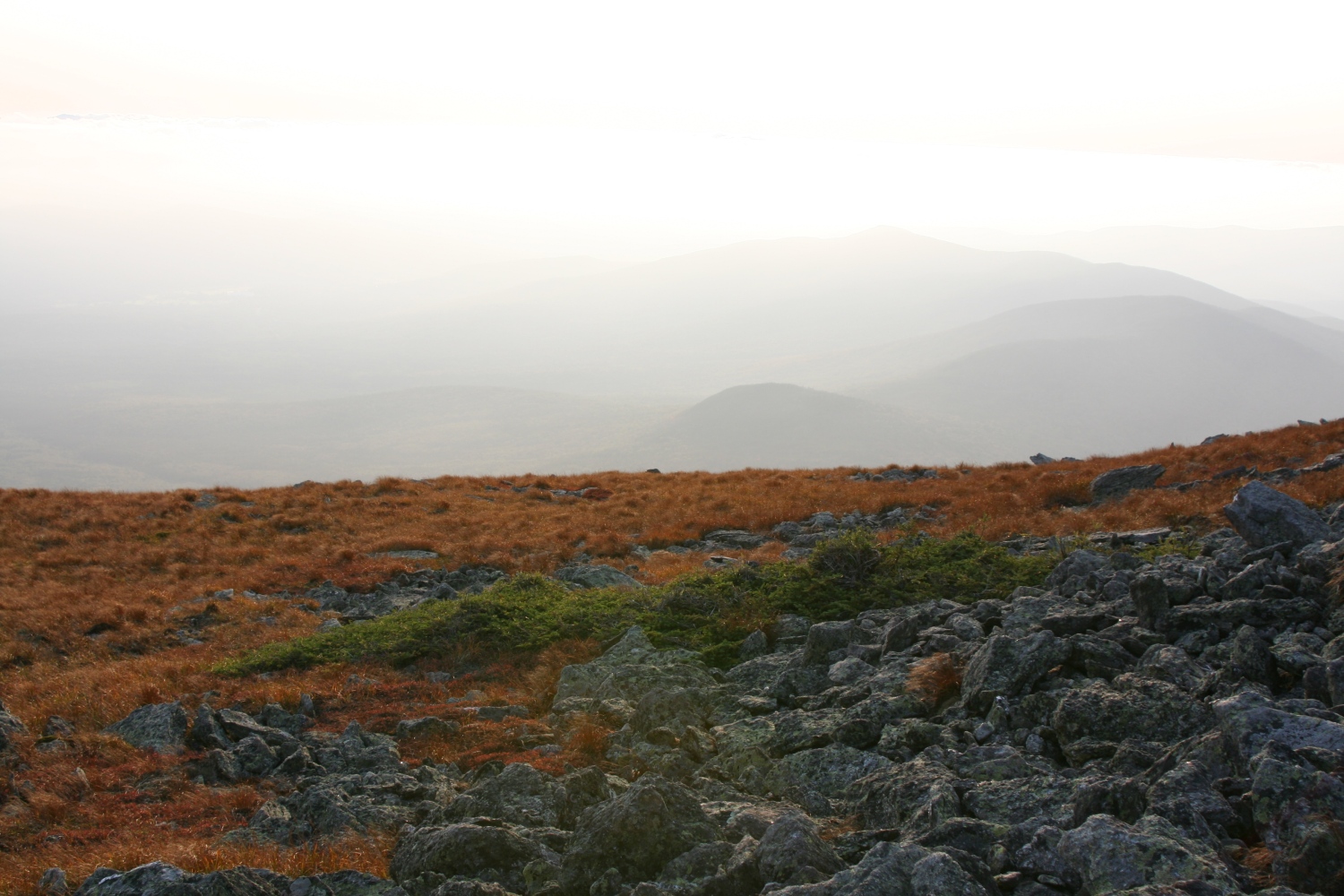
A view south, showing some returning clouds. |
|
One more view of Mt Washington. |
|
More clouds to the west - these aren't too close. |
|
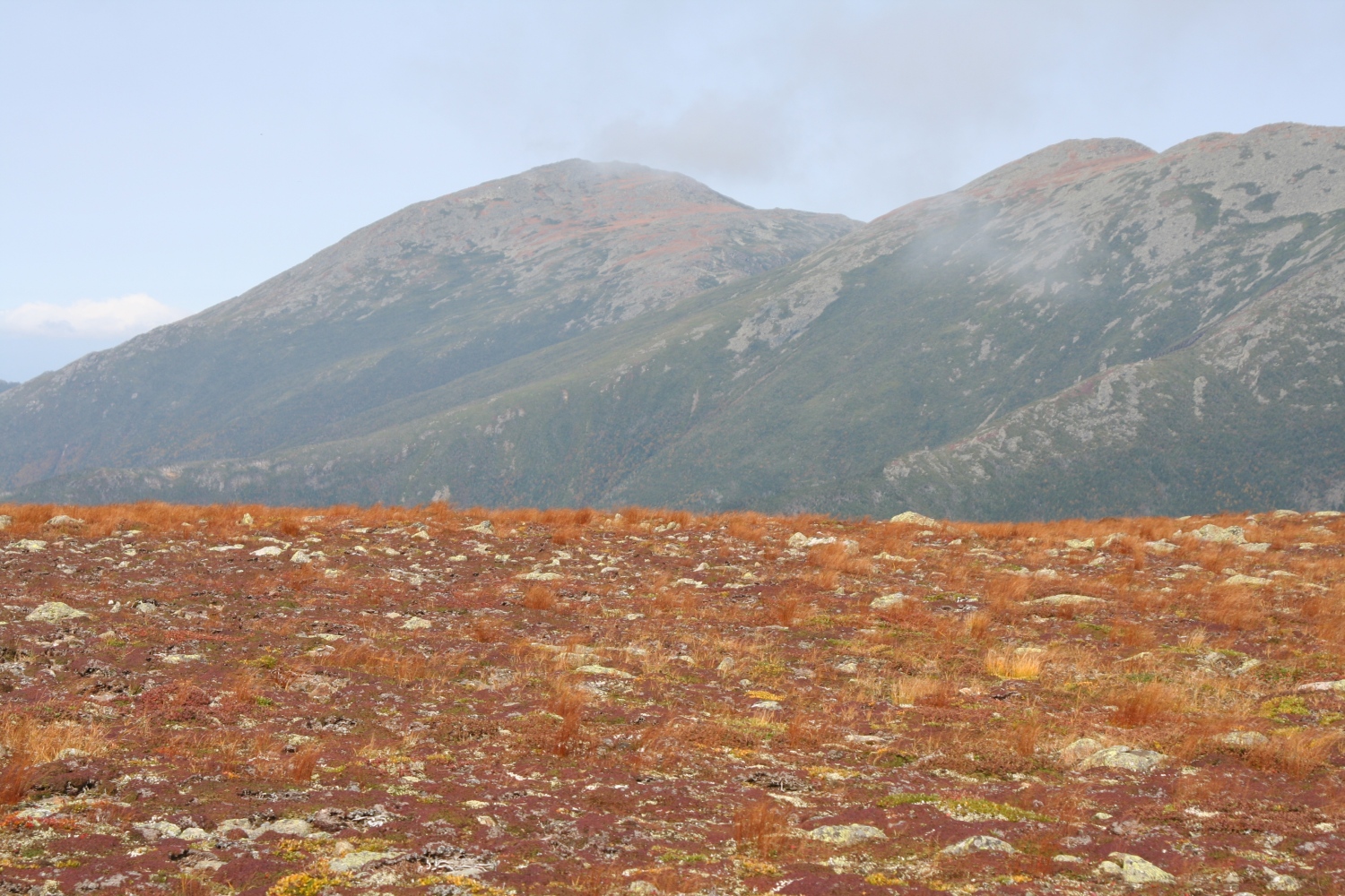
Mt Madison peeks above the wide alpine tundra near Mt Jefferson. |
|
Felsenmeer, krummholz, cairns, and clouds: the Northern Presidentials in a nutshell. |
|
Clouds forming on the shoulder of Mt Adams. |
|
The horizon starts to turn faintly pink as it gets late. |
|
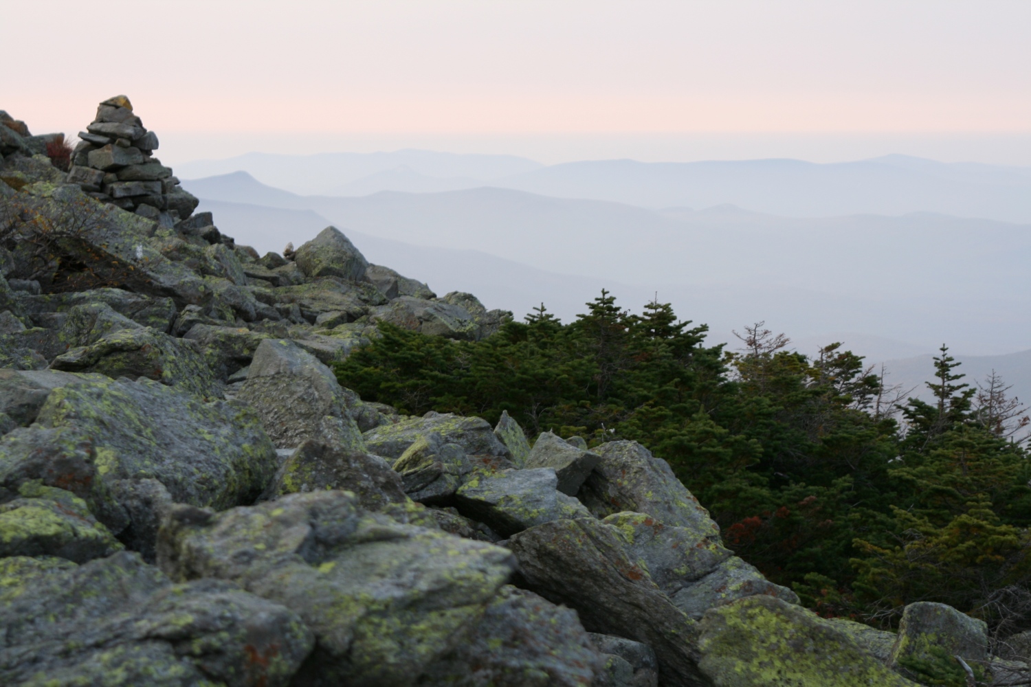
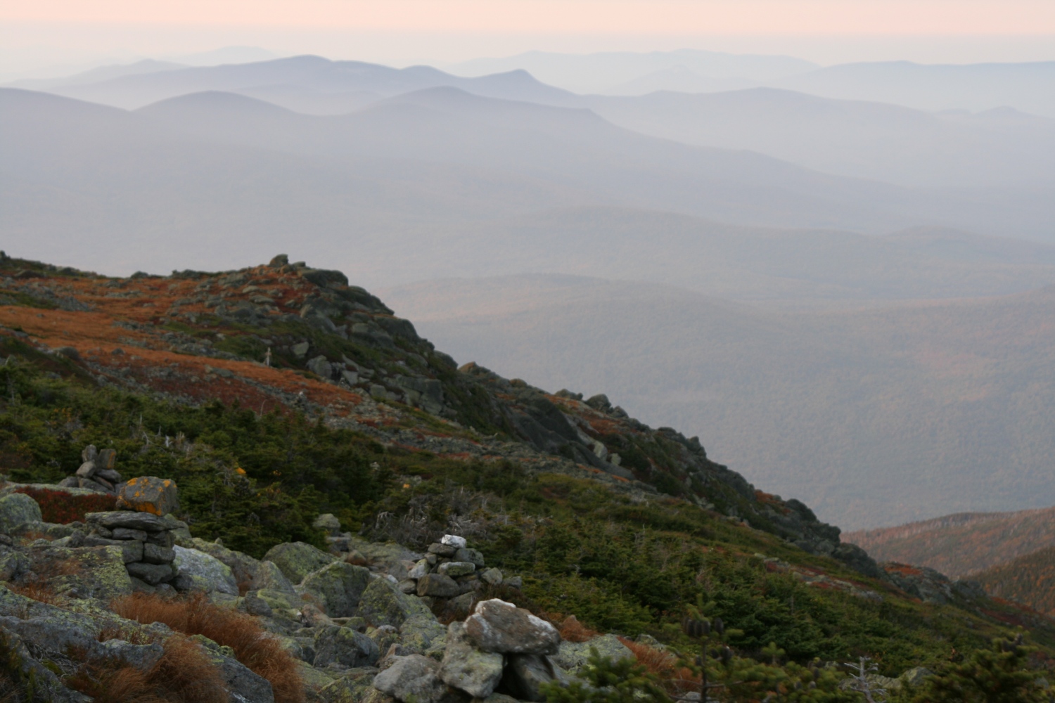
Mountains in the sunset mist: I think this shows the Little River mountains and the northern Twin Range. |
|
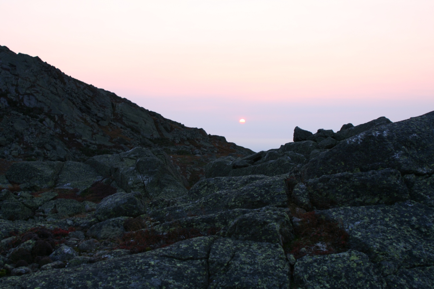
The sun is still fairly high, but it's about to "set" into the clouds. |
|
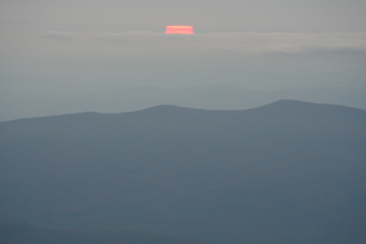
Setting sun, distorted by refractive cloud layers. |
|
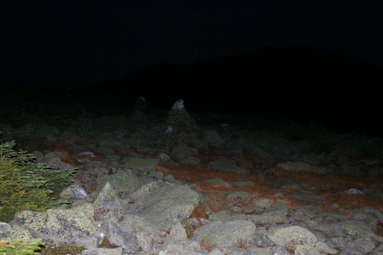
My camera's flash stands in for a headlamp to illustrate the usefulness of quartz blocks on cairns. |
|
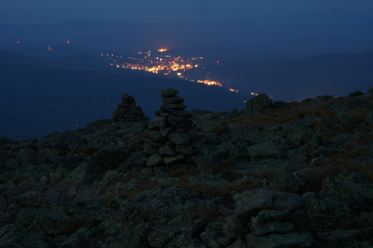
Gorham, New Hampshire at night, as seen from Mt Adams. |
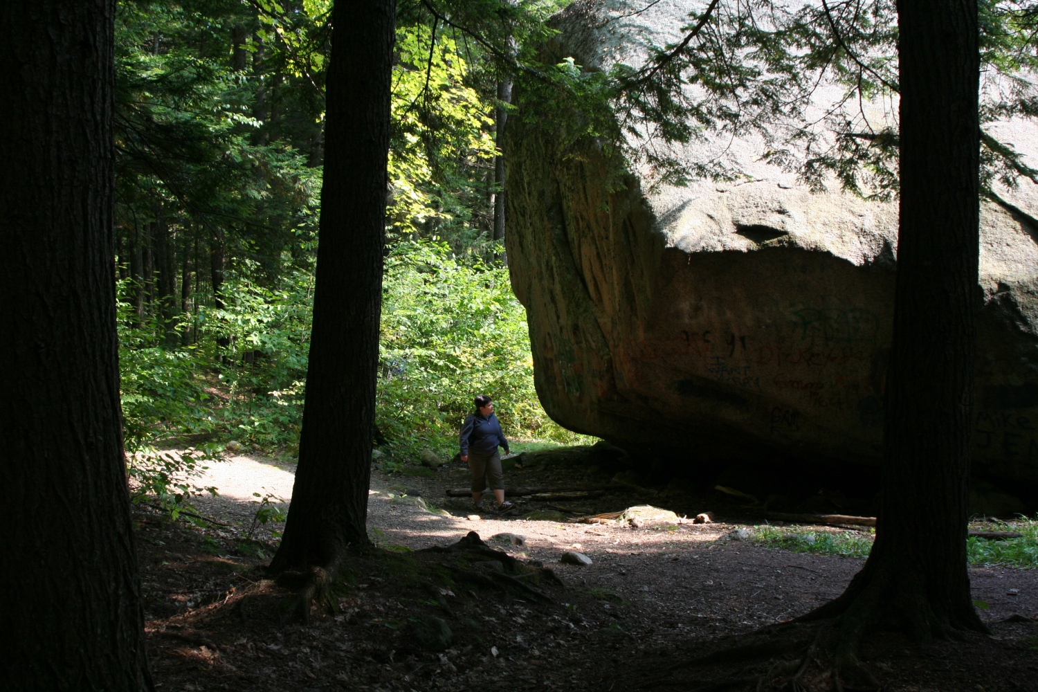
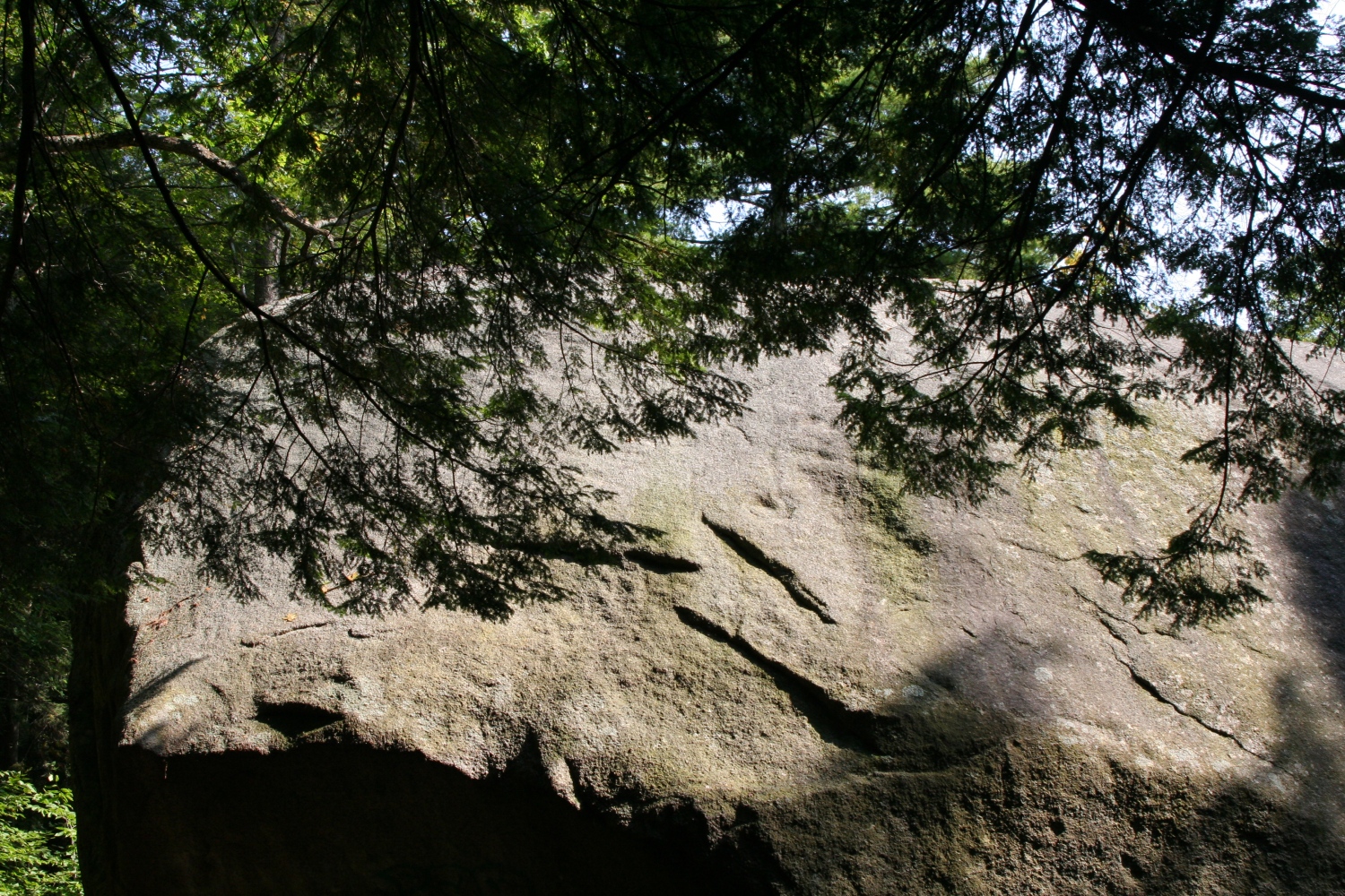
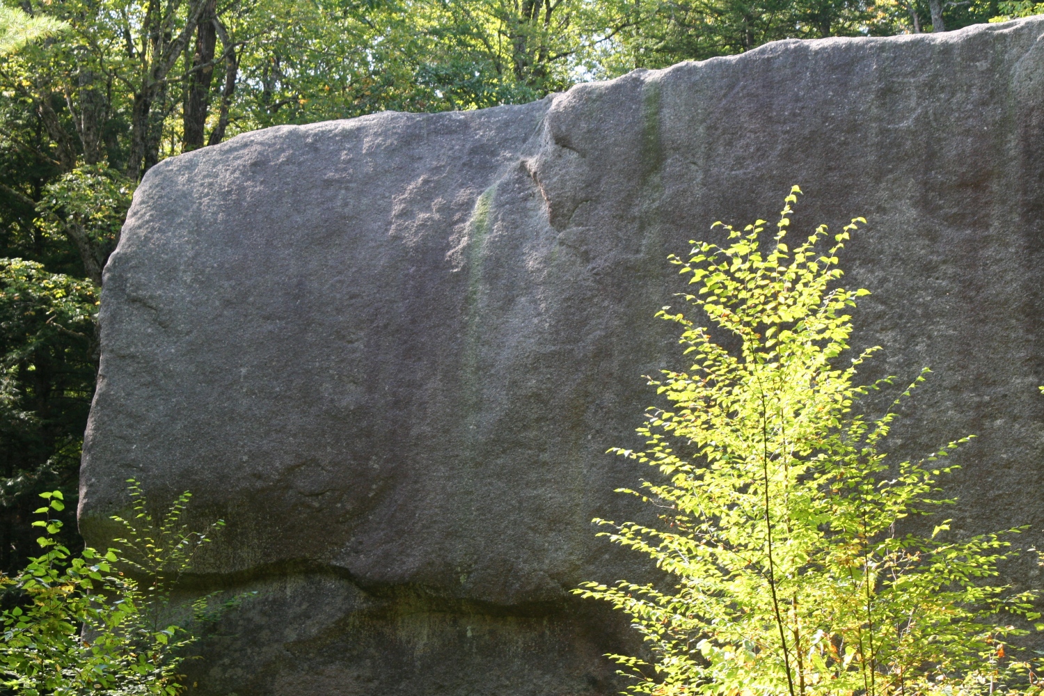
The Madison Boulder is supposed to be one of the larger glacial erratics in the world. We paid it a quick visit the next day.
|
This is the northern end of the boulder. |
|
The western side. |
|
The southern end, from the east. |
|
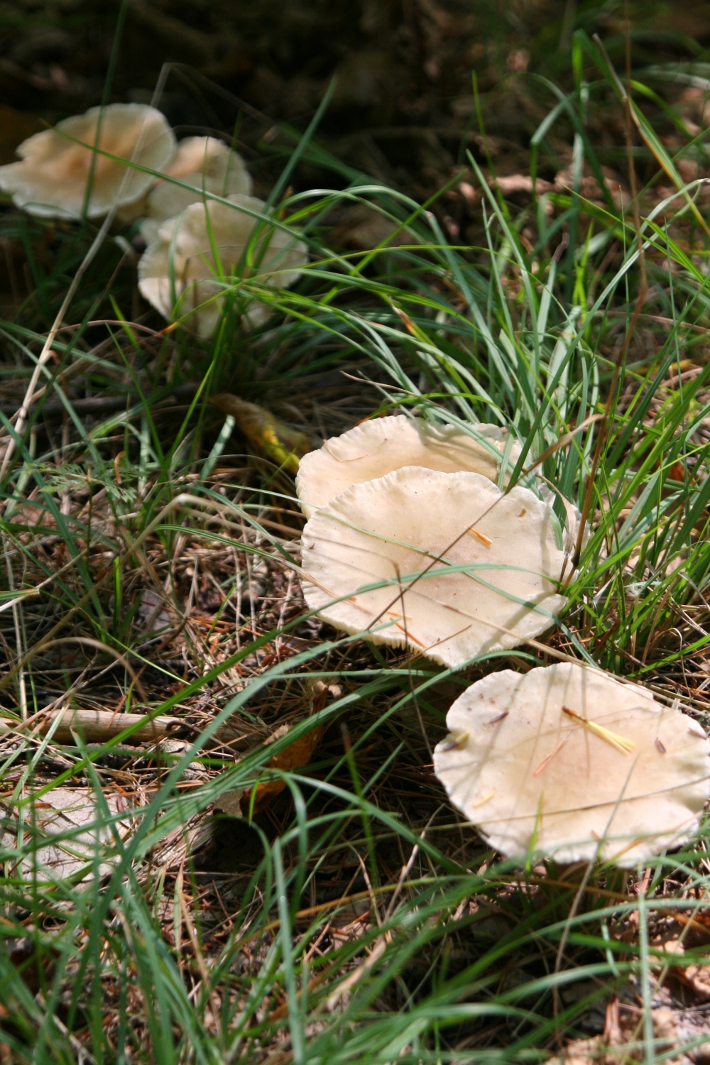
These mushrooms were growing nearby. |